Niagara River
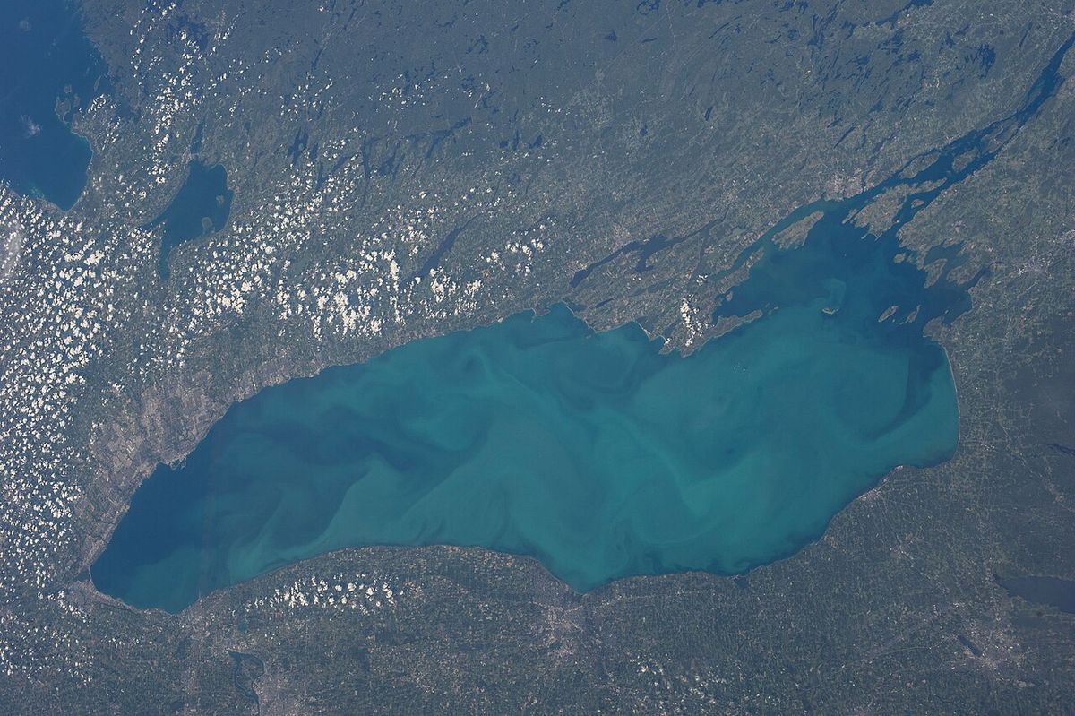
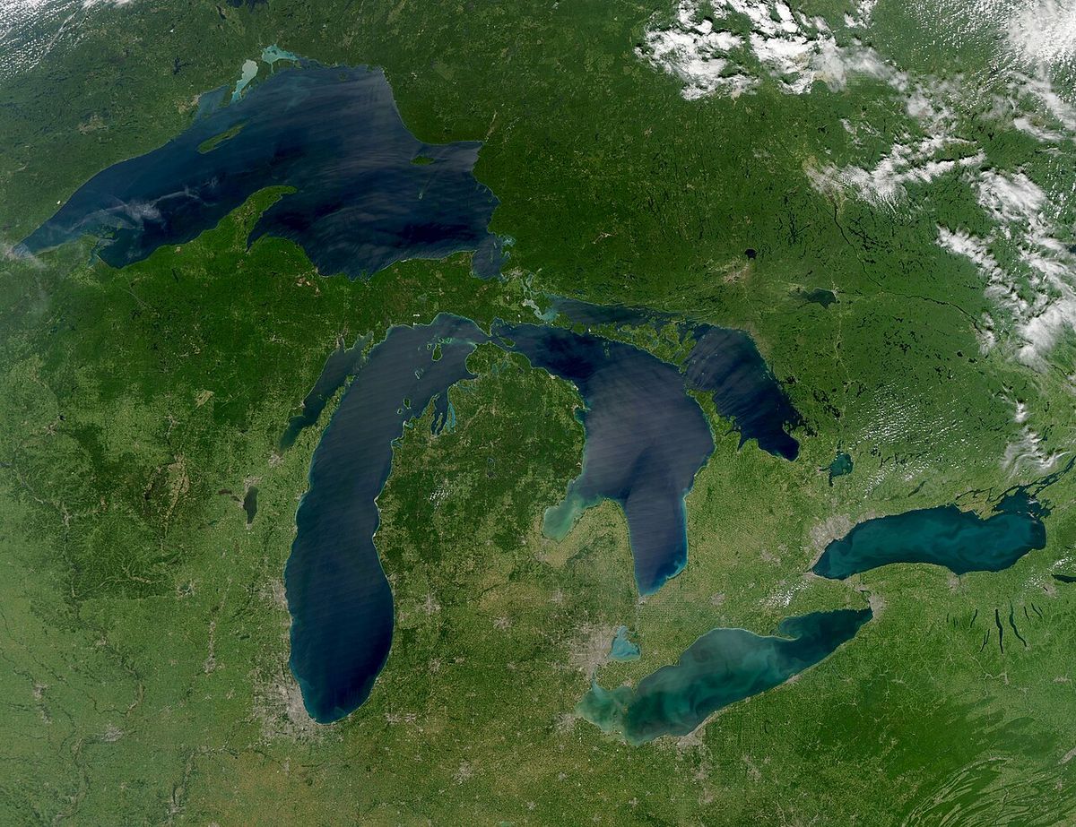
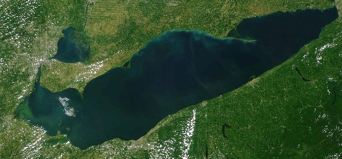
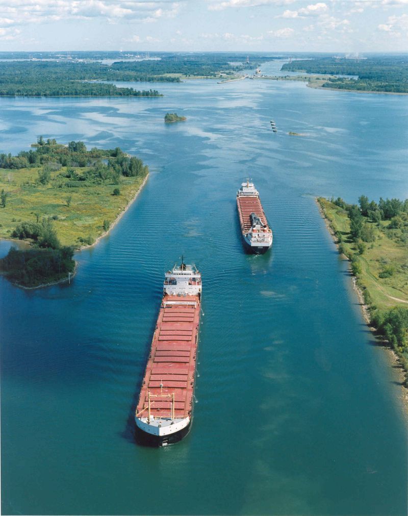
The Niagara River is a 58-kilometre-long channel flowing north from Lake Erie to Lake Ontario, forming a significant portion of the international border between the Canadian province of Ontario and the U.S. state of New York. It is globally renowned for the spectacular Niagara Falls, which have carved a dramatic gorge over millennia and serve as a major tourist destination and hydroelectric power source. The river's course includes powerful rapids and the Niagara Whirlpool, while its banks are lined with historic settlements, parks, and vital industrial infrastructure. As a critical corridor in the Great Lakes system, the Niagara River holds immense ecological, economic, and historical importance for Canada and the broader region.
Geography and Hydrology
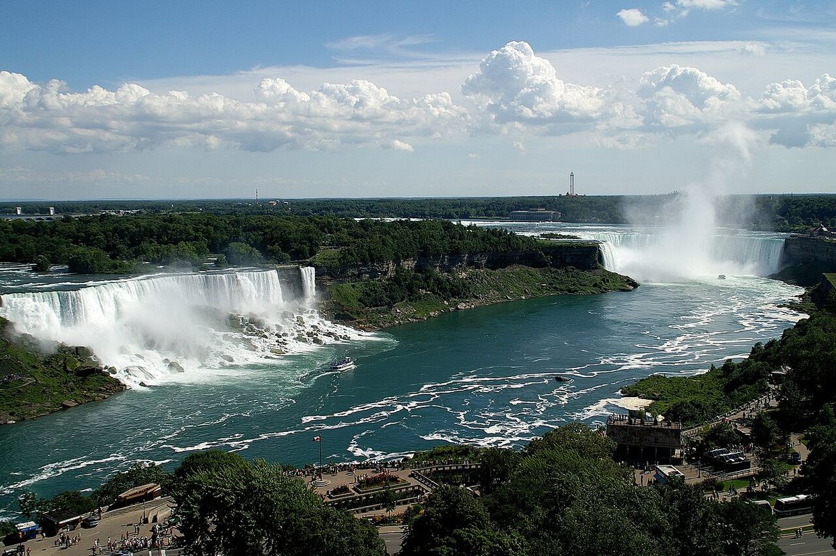
The Niagara River originates at the northeastern end of Lake Erie and flows generally northward to empty into Lake Ontario, with a total elevation drop of 99 metres. The river's most famous segment is Niagara Falls, where the water plunges over the Niagara Escarpment. The falls have retreated approximately 11 kilometres upstream from the escarpment's edge over the past 12,000 years, creating the Niagara Gorge. Below the falls, the river continues through the turbulent Niagara Whirlpool and a series of additional rapids before reaching Lake Ontario. While often called a river, its short, straight course and connection between two large lakes lead some to describe it as a strait.
Water flow in the river is managed by the International Control Dam, constructed in 1954, which helps regulate the volume going over the falls and to the hydroelectric power plants. The average discharge of the river at Buffalo is substantial, reflecting its role as a major outflow for the upper Great Lakes. The diversion of water for electricity generation has significantly reduced the natural rate of erosion at the falls. The river's hydrology is complex, influenced by ice formation in winter, wind conditions on the lakes, and the operations of the upstream power facilities. The total drainage area contributing to the river encompasses parts of both New York and Ontario, feeding from the vast basin of Lake Erie.
Major Islands and Features
The Niagara River contains several islands that define its character and divide its flow. The two largest islands are Grand Island, on the American side, and Navy Island, on the Canadian side. Further upstream, Unity Island lies near Buffalo. Immediately above Niagara Falls, Goat Island and the smaller Luna Island split the cataract into its three distinct sections: the Horseshoe Falls (primarily on the Canadian side), the American Falls, and the Bridal Veil Falls. These islands are key vantage points for viewing the falls and are integral to the river's topography. The islands have their own histories, with Navy Island once serving as an 18th-century naval shipyard for French and British forces.
- Grand Island: A large residential and recreational island on the U.S. side, situated in the upper river.
- Navy Island: A Canadian island with a history of use as a French and British naval shipyard, abandoned around 1818 after the Rush-Bagot Treaty.
- Goat Island: Situated at the brink of the falls, dividing the flow between Horseshoe and American Falls, owned by the New York State park system.
- Luna Island: A small island separating the American and Bridal Veil Falls, also part of the New York parklands.
- Unity Island: Located near the river's source at Lake Erie, adjacent to the city of Buffalo, New York.
The Niagara Whirlpool, located downstream of the falls, is a large natural whirlpool formed where the river makes a sharp bend and the gorge widens. This powerful hydraulic feature is a popular sightseeing destination, accessible via the Whirlpool Aero Car cable car. The relentless flow and unique geology of the river continue to shape these islands and features, though human intervention has altered natural processes. The islands also play a role in river navigation and have been sites for industrial and military activities throughout history.
History and Human Settlement
Father Louis Hennepin, a French explorer, provided the first written European account of the Niagara River and Falls after witnessing them in the late 17th century, describing them in his 1698 book A New Discovery of a Vast Country in America. The river's name is debated, with theories suggesting it derives from an Iroquois town named Ongniaahra, meaning 'point of land cut in two,' or from the Niagagarega people of the Neutral Confederacy. The Niagara Purchase of 1781 secured a 6.5-kilometre-wide strip of land along the west bank for British settlement, connecting Lake Erie to Lake Ontario. The river was a strategic military corridor, defended by forts like Fort George, Fort Niagara, and Fort Erie during the Seven Years' War, the American Revolution, and the War of 1812, which included the Battle of Queenston Heights near the river. The Freedom Crossing Monument in Lewiston, New York, commemorates this history and the local volunteers who assisted. Industrially, the river was the site of the earliest recorded railway in America, an inclined wooden tramway built by British military engineer John Montresor in 1764, known as 'The Cradles' or 'The Old Lewiston Incline.' By the 1880s, it became the first waterway in the world harnessed for large-scale hydroelectricity, sparking a revolution in power generation that would define the region's economy. The river's heraldic significance continues today as the namesake of Niagara Herald Extraordinary at the Canadian Heraldic Authority.
Economic and Industrial Significance
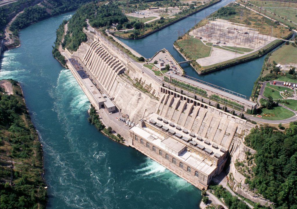
The Niagara River is a major source of regional industry and power generation. Its hydroelectric potential is harnessed by major power plants on both sides of the border. On the Canadian side, the Sir Adam Beck Hydroelectric Generating Stations, built in 1922 and 1954, are key facilities. On the American side, the Robert Moses Niagara Power Plant, built in 1961, contributes significantly. Collectively, these facilities have a generating capacity of 4.4 gigawatts. The International Control Dam, built in 1954, ensures water is allocated effectively between scenic flow over the falls and power generation needs, which has also slowed the upstream erosion of the falls.
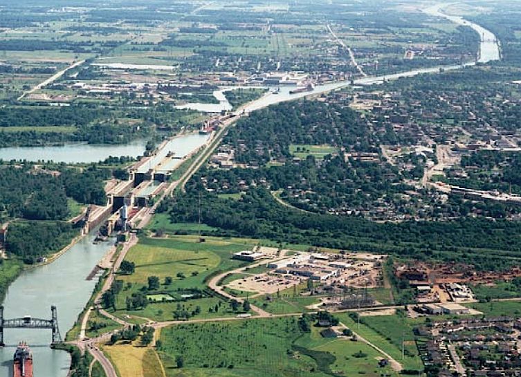
Navigation around the impassable Niagara Falls is facilitated by the Welland Canal, part of the St. Lawrence Seaway, which runs parallel to the river on the Canadian side. This canal allows ships to traverse between Lake Erie and Lake Ontario. After leaving Lockport, the Erie Canal historically headed southwest into Tonawanda Creek before entering the Niagara River. Today, the riverfront supports tourism, manufacturing, and residential communities, with major cities like Buffalo, New York, and Niagara Falls, Ontario, located along its banks. The river's consistent flow and elevation drop make it uniquely suited for these sustained industrial applications.
Environmental Management and Parks
The Niagara River is listed as a Great Lakes Area of Concern under the binational Great Lakes Water Quality Agreement, indicating it suffers from significant environmental degradation requiring remediation. Issues include historical pollution from industrial and municipal sources affecting water quality and aquatic life. On the Canadian side, nearly the entire shoreline from Lake Erie to Lake Ontario is maintained as public greenspace by the Niagara Parks Commission, an agency of the Ontario government. This area includes parks, historic sites like Fort Erie, and recreational trails along the Niagara Parkway, preserving the river's environmental and heritage values. The only major exception on the Canadian shore is the site of Fort George, which is a National Historic Site maintained federally by Parks Canada.
On the American side, the New York State Office of Parks, Recreation and Historic Preservation manages several state parks adjacent to the falls and river. A Niagara River Greenway Plan is in progress in the United States to coordinate conservation and development along the corridor. These management efforts aim to balance the river's heavy industrial and recreational use with the need to protect water quality, fish and wildlife habitat, and scenic beauty for future generations. The parks system on both sides provides public access for recreation while also protecting sensitive riparian zones from further development.
Transportation and Crossings
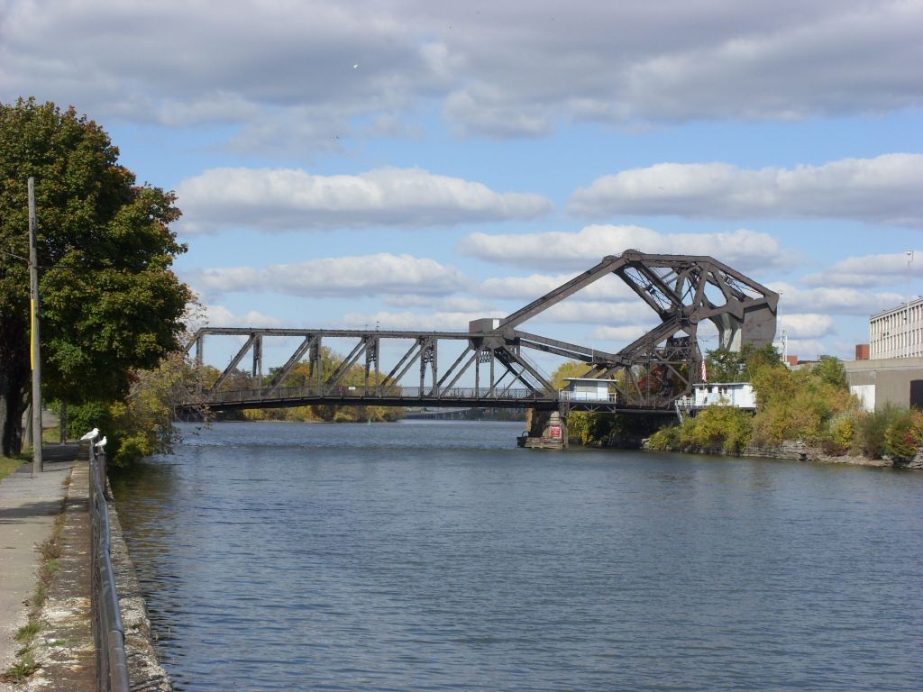
The Niagara River has a long history of bridge construction for road and rail, connecting Canada and the United States both upstream and downstream of the falls. Many historic bridges have been lost to the harsh conditions of the Niagara Gorge, including ice jams and landslides. Modern spans are critical for international trade and travel. Major roads following the river include the Niagara Parkway on the Canadian side and a combination of routes on the American side, such as the Niagara Scenic Parkway from the falls to Lewiston, NY 18F from Fort Niagara to Lewiston, and other sections covered by the LaSalle Expressway, NY 384, NY 266, and I-190. These roads provide access to the numerous parks, communities, and industrial sites along the banks.
| Historic Military Post | Location (Side) | Last Active Use | Current Status |
|---|---|---|---|
| Fort George | Canadian | 1965 | Parks Canada National Historic Site |
| Fort Niagara | American | U.S. Coast Guard Station | Former U.S. Army post |
| Fort Erie | Canadian | 1923 | Park maintained by Niagara Parks Commission |
| Fort Mississauga | Canadian | 1953 | Park |
| Navy Island Royal Naval Shipyard | Canadian | Abandoned c. 1818 | Historic site |
The river itself is not navigable for large vessels past the falls, but the Welland Canal provides the essential bypass. The presence of these transportation networks highlights the river's enduring role as a vital link in the binational corridor of the Niagara Frontier. The United States Coast Guard maintains the Fort Niagara Station, while there are no Canadian Coast Guard posts along the river. The historical military posts, now largely parks, reflect the river's past strategic importance which has transitioned to one of shared economic and environmental stewardship.
Cultural and Recreational Role
The Niagara River is deeply embedded in the cultural identity of the region, symbolizing both natural power and human achievement. Its dramatic scenery has inspired artists, writers, and travellers for centuries. The river is central to the tourism economies of Niagara Falls, Ontario and New York, attracting millions of visitors annually to view the falls, take boat tours, and explore the parks. Recreational activities along the river include fishing, hiking along the Niagara Parkway and Niagara Scenic Parkway, and visiting historic sites like the forts that dot its shores. The Whirlpool Aero Car offers a unique aerial view of the whirlpool and gorge, a popular tourist attraction.
The river's history as a freedom crossing is formally commemorated by the Freedom Crossing Monument in Lewiston, ensuring this chapter is remembered. The Niagara Parks Commission on the Canadian side and the New York state park system on the American side actively interpret this history for the public. The river's name also carries formal honour in Canada through the Canadian Heraldic Authority. The combination of awe-inspiring natural phenomena, rich history from Indigenous settlement to industrial innovation, and extensive public parklands makes the Niagara River a cultural asset with natural, historical, and economic dimensions for both Canada and the United States.
Questions about Niagara River
How long is the Niagara River and where is it located?
The Niagara River is approximately 58 kilometres long. It flows north from Lake Erie to Lake Ontario, forming part of the border between Ontario, Canada, to the west, and New York, United States, to the east. The river, which is occasionally described as a strait, has a total elevation drop of 99 metres along its course. It is best known for the Niagara Falls, which have moved roughly 11 kilometres upstream over the past 12,000 years, creating a gorge below the falls. Today, the diversion of the river for electricity generation has significantly slowed the rate of erosion.
How much hydroelectric power is generated from the Niagara River?
Power plants on the Niagara River collectively generate 4.4 gigawatts of electricity. Major facilities include the Sir Adam Beck Hydroelectric Generating Stations on the Canadian side, built in 1922 and 1954, and the Robert Moses Niagara Power Plant on the American side, built in 1961. The International Control Dam, constructed in 1954, regulates the river flow for these operations. The Niagara River was the first waterway in the world harnessed for large scale generation of hydroelectricity in the 1880s.
How do ships bypass Niagara Falls?
Ships on the Great Lakes use the Welland Canal to bypass Niagara Falls. The Welland Canal is part of the St. Lawrence Seaway and is located on the Canadian side of the river. Historically, the Welland Canals used the Welland River to connect to the Niagara River south of the falls. This system enables water traffic to safely re-enter the river and continue to Lake Erie, avoiding the treacherous falls and the turbulent gorge below.
Who manages the parks along the Canadian side of the river?
On the Canadian side, the provincial agency Niagara Parks Commission maintains almost all of the shoreline property as a public greenspace and environmental heritage. This includes areas like Fort Erie. The primary exception is the site of Fort George, which is a National Historic Site maintained federally by Parks Canada. The management ensures the preservation of the river's natural and historical landscapes for public access and education.
What historical role did the Niagara River play for people escaping slavery?
The Niagara River was an important route to liberation before the American Civil War. Many African Americans escaping slavery on the Underground Railroad crossed it to find freedom in Canada. The Freedom Crossing Monument stands on the riverbank in Lewiston, New York to commemorate the courage of these escaping slaves and the local volunteers who helped them secretly cross. This history marks the river as a symbol of hope and a critical gateway to safety during a dark period.
What are the major islands in the Niagara River and what is their significance?
The major islands in the Niagara River include Grand Island and Navy Island, the two largest, on the American and Canadian sides respectively. Upstream from the falls, Goat Island and the small Luna Island divide Niagara Falls into the three sections: Horseshoe Falls, Bridal Veil Falls, and American Falls. Further upstream lies Unity Island, adjacent to Buffalo. These islands shape the river's geography and hydrology, creating the distinct channels and landscapes that define the Niagara region.
Sources and further reading
- Niagara River (Wikipedia)
- Niagara Parks, Niagara Falls, Canada, Attractions ... (niagaraparks.com)
- Niagara Falls State Park, Niagara Falls USA (niagarafallsstatepark.com)
- Niagara Parks | Great Lakes Waterfront ... (waterfronttrail.org)
Checked by the Your Space Hamilton desk. Last updated 2026-10-20.