Niagara Escarpment
The Niagara Escarpment is a prominent geological landform stretching approximately 1,050 kilometres across parts of the United States and Canada. This long, discontinuous cliff, primarily composed of resistant dolomitic limestone, forms a dramatic arc around the Great Lakes Basin from New York State through Ontario to Wisconsin. It is most famous as the cliff over which the Niagara River plunges, creating Niagara Falls, but its significance extends far beyond this single landmark. Designated a UNESCO World Biosphere Reserve in 1990, the escarpment hosts ancient forest ecosystems, shapes regional watersheds, and supports diverse human activities from agriculture to recreation.
Geological Formation and Structure
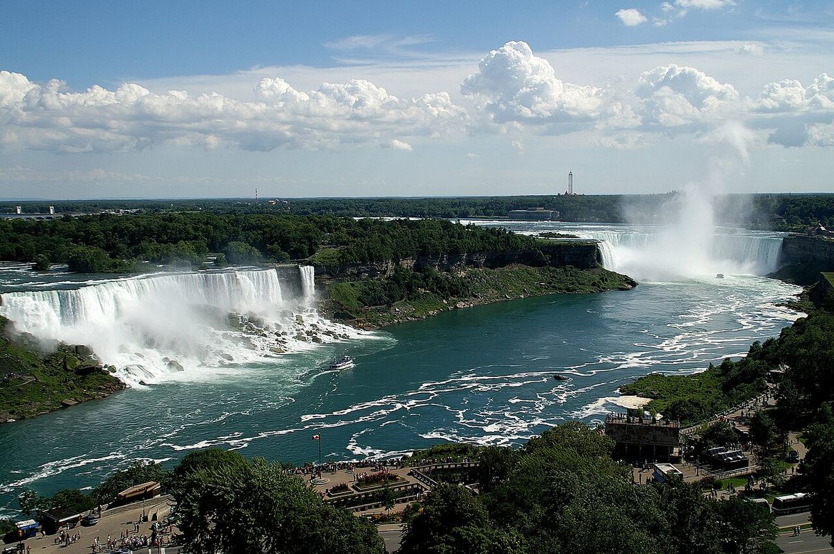
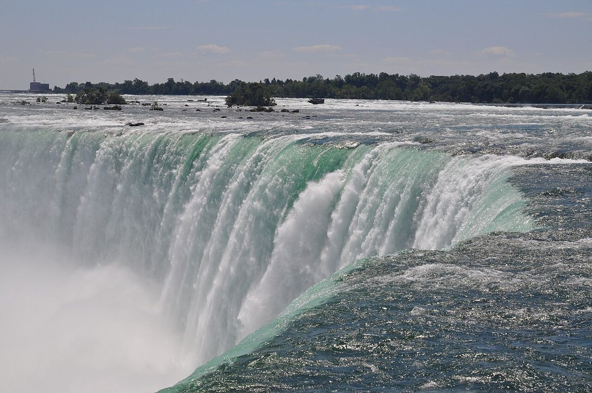
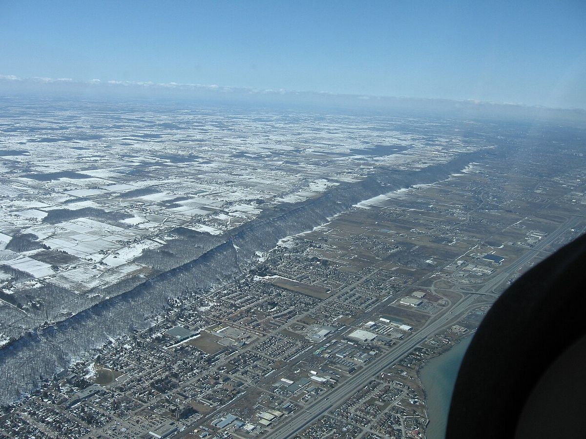
The Niagara Escarpment is not a fault line but a classic example of a cuesta, formed over millions of years through the process of differential erosion. Its structure consists of a hard, resistant caprock of Silurian-age dolomitic limestone, known as dolostone, which overlies softer, more easily eroded layers of shale. The gradual weathering and removal of these softer rocks undercut the durable caprock, eventually creating the steep cliff face visible today. This erosional process is most dramatically accelerated at Niagara Falls, where the Niagara River actively cuts into the escarpment, but the same principle shapes its entire length. The escarpment represents the remnant shoreline of an ancient Ordovician-Silurian tropical sea, where the dolomite cap was originally deposited as sediment on the sea floor. In some areas, such as north of Georgetown, Ontario, thick glacial deposits like the Oak Ridges Moraine completely conceal the escarpment, though it continues underground. The escarpment is the most prominent of several similar rock formations in the Great Lakes Basin, with a parallel outcrop like the Onondaga Formation forming separate cliffs to the south.
The dolomite capstone was formed during the Silurian period when magnesium substituted for calcium in the carbonate sediments. This process created a harder rock layer that now resists erosion better than the surrounding materials. Behind the escarpment in Michigan, the capstone slopes gently southward to form a wide basin that was once the floor of that ancient sea. Worldwide sea levels reached their maximum during the Ordovician period, and as they retreated, the exposed rock layers became subject to the erosional forces that carved the escarpment. The erosional process can be observed at the three waterfalls of the Genesee River in Rochester, New York, where additional resistant rock layers have created more than one escarpment in that location.
Geography and Course
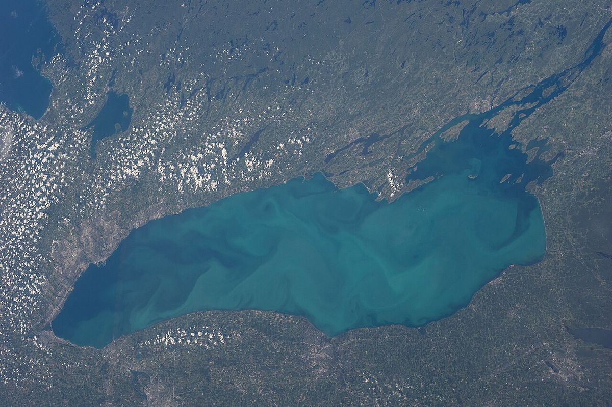
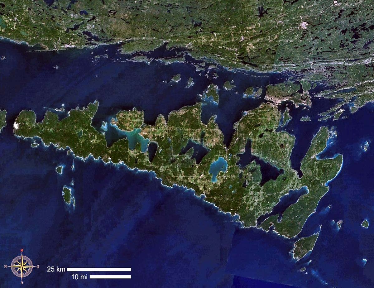
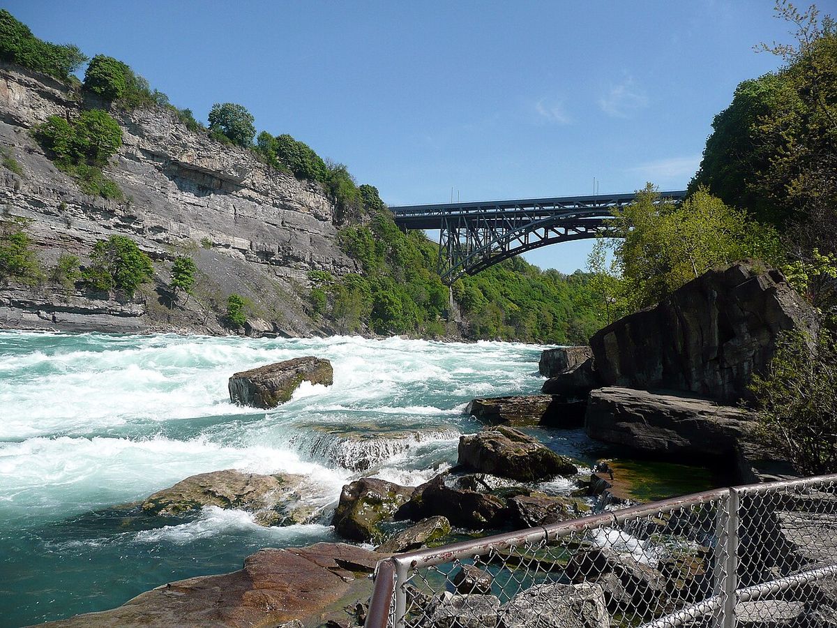
The escarpment begins south of Lake Ontario in New York State, where the Genesee River flows over it in three waterfalls at Rochester. It runs westward to the Niagara River, forming the deep gorge north of Niagara Falls itself. Crossing into Ontario, it spans the Niagara Peninsula, closely following the Lake Ontario shore through St. Catharines and Hamilton. At Hamilton, the city is famously divided, with its urban core below the cliff and suburban expansion atop 'The Mountain'. The escarpment turns sharply north near Milton toward Georgian Bay, then follows the bay's shoreline northwest to form the spine of the Bruce Peninsula and Manitoulin Island. It continues across several islands in northern Lake Huron before turning west into Michigan's Upper Peninsula, south of Sault Ste. Marie.
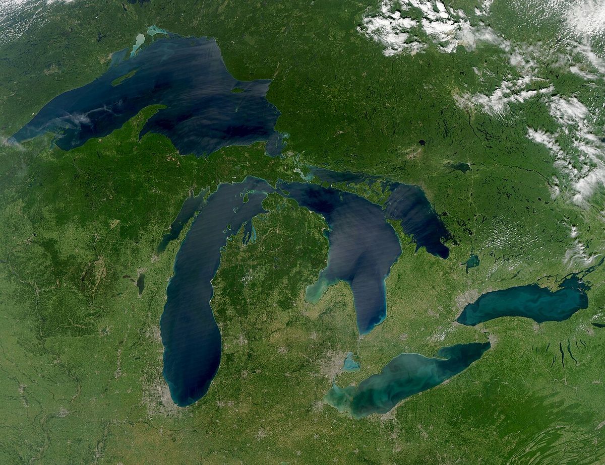
From Michigan, the escarpment extends down the Garden Peninsula and through the Potawatomi Islands into Wisconsin. In Wisconsin, it follows the Door Peninsula and then continues more inland from the western coast of Lake Michigan. Its final stretch runs through the state until ending in the southeastern corner of Dodge County, Illinois, north of Chicago. This extensive course directly influences the basins and shorelines of Lakes Ontario, Huron, and Michigan. The escarpment traces and in part shapes the individual basins of these Great Lakes, creating distinct landforms like the Bruce Peninsula which separates Georgian Bay from the main body of Lake Huron.
Human History and Infrastructure
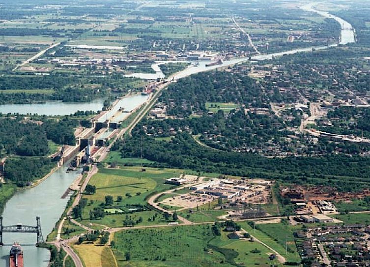
The escarpment has long been a significant feature in human settlement and transportation. Similarly, Ontario's Welland Canal was built to allow ships to traverse the escarpment between Lake Erie and Lake Ontario on the Niagara Peninsula. The canal's construction also allowed the sea lamprey, an invasive species native to the Northern Atlantic Ocean, to enter Lake Erie and become a concern for that lake's ecosystem. Major transportation routes like Ontario's Highway 401, Canada's busiest highway, cross the escarpment, beginning a long descent through rolling hills, farmland, and towns west of Milton.
From 1892 to 1936, the Hamilton Incline Railway provided public transport up and down the escarpment in that city. The relief and consistent winds along the Wisconsin portion are harnessed by several wind farms stretching from Pipe to Brownsville, where wind speeds average 18 miles per hour. In Wisconsin, the feature is locally known as 'The Ledge', inspiring names like Ledge County Park between Horicon and Mayville and the sports teams of St. Mary's Springs Academy. Evidence of ancient and modern human use is found at High Cliff State Park in Wisconsin, which contains a number of different animal and geometric effigy mounds alongside the remains of an early 20th-century limestone quarry and kiln. Many resorts and ski areas in Ontario, Michigan, Wisconsin, and New York are situated along the escarpment to take advantage of its topography.
Natural Environment and Conservation
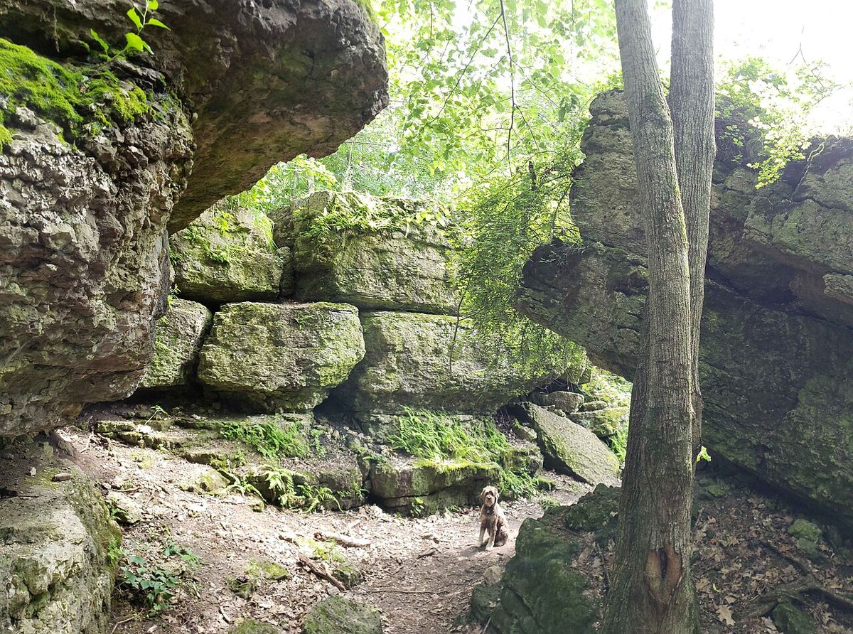
Cliffs along the escarpment's face shelter the oldest forest ecosystem in eastern North America, with some of the continent's most ancient trees. The oldest known tree in Ontario is an eastern white cedar that began growing in 688 AD, while a 1,300-year-old eastern white cedar was discovered in Brown County, Wisconsin. In recognition of its ecological importance, UNESCO designated the Niagara Escarpment a World Biosphere Reserve in February 1990, one of only 12 such reserves in Canada. This designation aims to balance conservation with sustainable human use. In Ontario, development and land use on and adjacent to the escarpment are regulated by the provincial Niagara Escarpment Commission, which manages the area under the Niagara Escarpment Plan.
The reserve protects a diverse range of habitats, from talus slopes and cliff faces to upland forests and wetlands, supporting numerous rare plant and animal species. The ancient forest ecosystems found on the escarpment cliffs represent a unique biological community that has persisted for centuries. The Biosphere Reserve status acknowledges the escarpment's role as a living laboratory for sustainable development, where conservation efforts are integrated with agricultural, recreational, and limited residential uses. The commission's planning work involves regulating activities to protect the escarpment's natural character while allowing compatible uses to continue.
Agriculture and Viticulture
The unique microclimates and soils of the escarpment have made it a premier region for cool-climate agriculture, particularly viticulture. In New York, near the eastern end, the Niagara Escarpment American Viticultural Area (AVA) encompasses 18,000 acres in Niagara County, producing wines from Merlot, Cabernet Franc, Cabernet Sauvignon, Chardonnay, and Riesling grapes, as well as fruit wines. Ontario's Niagara Peninsula is Canada's largest wine-producing appellation, with over 30 grape varietals grown across 13,600 hectares. Cool-climate varieties such as Riesling, Chardonnay, Gamay Noir, Pinot Noir, and Cabernet Franc are among the most important crops. Three key subappellations lie along the escarpment's benchlands:
- Short Hills Bench: A subappellation known for complex, mineral-driven wines.
- Twenty Mile Bench: Features well-drained soils and a cool climate suited to Riesling and Pinot Noir.
- Beamsville Bench: Benefits from lake-moderated temperatures ideal for Chardonnay and Cabernet Franc.
The Wisconsin vineyards benefit greatly from constant air movement from Lake Michigan, which stores warmth during the summer. During the growing season, warm air over the lake rises, creating offshore breezes that pull colder air off the land. This phenomenon prevents cold air from settling over the vineyards and creates a longer growing season than in other parts of Wisconsin. The escarpment's glacial soils are composed of gravel, sand, and clay over limestone bedrock. An underlying aquifer provides mineral-rich groundwater to the vines, which encourages deep root growth and contributes to the distinctive character of wines from this region.
Recreation and Landmarks
The escarpment offers a wide array of recreational opportunities across its length, attracting hikers, skiers, and sightseers. The most famous landmark is Niagara Falls, where visitors witness the power of erosion in action. Rock exposures are easily viewed along Highway 26 from Owen Sound east toward Meaford, Ontario. In Hamilton, a network of 'mountain access' roads connects the lower city to the upper plateau, and the city's many waterfalls cascade over the escarpment's edge.
High Cliff State Park in Wisconsin shows how humans have used the escarpment for both cultural and economic reasons throughout history. The park contains prehistoric effigy mounds alongside industrial remains from limestone quarrying. The escarpment's topography has made it suitable for numerous resorts and ski areas across all four states and provinces it traverses. In Rochester, New York, the three waterfalls of the Genesee River where it crosses the escarpment are significant urban natural features. The escarpment also provides scenic vistas and geological interest points along many highways and secondary roads throughout its course, from the Niagara region to the Door Peninsula.
Economic and Cultural Significance
The Niagara Escarpment has substantial economic importance beyond tourism and viticulture. The limestone and dolomite that form the caprock have been quarried for construction materials and industrial uses for centuries, as evidenced by the historic kiln at High Cliff State Park. The consistent winds along certain sections, particularly in Wisconsin, support wind energy production through multiple wind farms. The escarpment's presence has directly influenced urban development patterns, most notably in Hamilton where it created distinct upper and lower city neighborhoods. Transportation infrastructure like the Welland Canal represents a major economic corridor that was specifically engineered to overcome the escarpment's barrier to shipping.
Culturally, the escarpment has inspired local identities and place names across its range. In Wisconsin's Dodge County, it is known as 'The Ledge', giving its name to Ledge County Park and local organizations like The Ledgers sports teams. In Hamilton, residents commonly refer to it as 'The Mountain', a term embedded in local vernacular. The ancient effigy mounds at High Cliff State Park testify to its spiritual significance for Indigenous peoples long before European settlement. The Bruce Trail has become a cultural institution in Ontario, maintained by a dedicated conservancy and used by thousands of hikers annually. The escarpment's dramatic landscapes have made it a subject for artists and photographers, and its geological story attracts scientific study from researchers across multiple disciplines.
Questions about Niagara Escarpment
Why is the Niagara Escarpment a UNESCO Biosphere Reserve?
UNESCO designated the Niagara Escarpment a World Biosphere Reserve in February 1990 due to its exceptional ecological value. The cliffs host the oldest forest ecosystem in eastern North America, including ancient eastern white cedars, with the oldest in Ontario dating to 688 AD. The designation recognizes the need to protect this unique natural heritage while promoting sustainable development. In Ontario, the Niagara Escarpment Commission regulates land use to balance conservation with human activities like agriculture, recreation, and limited development within the reserve.
How did the Niagara Escarpment form?
The escarpment formed over hundreds of millions of years through a process called differential erosion, not from tectonic faulting. During the Silurian period, layers of hard dolomitic limestone were deposited over softer shale on the floor of a tropical sea. As the sea retreated, erosion began wearing away the softer rock at a faster rate than the resistant caprock. This gradually undercut the hard limestone, causing it to collapse and form a retreating cliff face. This ongoing process is most visible at Niagara Falls, where the river accelerates the erosion, but it occurs along the entire length of the escarpment.
What role does the escarpment play in Ontario's wine industry?
The Niagara Escarpment is crucial to Ontario's wine industry, particularly within the Niagara Peninsula appellation. The escarpment's benchlands create unique microclimates and well-drained soils ideal for viticulture. Three specific subappellations, Short Hills Bench, Twenty Mile Bench, and Beamsville Bench, are located directly on these slopes. The topography moderates temperatures, provides air drainage to protect against frost, and the limestone-rich soils impart distinct mineral characteristics to the wines. This allows for the successful cultivation of cool-climate varieties like Riesling, Chardonnay, Pinot Noir, and Cabernet Franc across more than 13,600 hectares.
How does the escarpment affect the city of Hamilton, Ontario?
The Niagara Escarpment dramatically divides the city of Hamilton, with the older urban core located on the lowland below the cliff and extensive suburban development on the plateau above. Locals commonly refer to the escarpment as 'The Mountain'. This topography necessitated the construction of numerous steep 'mountain access' roads and, historically, the Hamilton Incline Railway from 1892 to 1936. The escarpment edge is also the source of the city's many waterfalls, such as Webster's and Tew's Falls, which cascade over the cliff face. The Bruce Trail runs through the city, and the escarpment's presence defines Hamilton's geography and urban layout.
What is the Niagara Escarpment and where is it located?
The Niagara Escarpment is an approximately 1,050 kilometre long discontinuous, arc shaped escarpment or cuesta. It is the cliff over which the Niagara River plunges at Niagara Falls, for which it is named. This landform begins south of Lake Ontario and circumscribes the top of the Great Lakes Basin running from New York through Ontario, Michigan, and Wisconsin. It traces and shapes the individual basins of Lake Ontario, Lake Huron, and Lake Michigan. The escarpment is not a fault line but the result of millions of years of unequal erosion of a resistant dolomitic limestone caprock over weaker shale.
Can you hike the length of the Niagara Escarpment?
In southern Ontario, the Bruce Trail runs the length of the escarpment from Queenston on the Niagara River to Tobermory on the Bruce Peninsula. This trail provides access to the escarpment's diverse landscapes. In Wisconsin, High Cliff State Park features trails along the escarpment showing how humans used the land. The relief and exposed edge of the escarpment are also used by several wind farms in Wisconsin. Many other resorts and ski areas along the escarpment in Ontario, Michigan, Wisconsin, and New York provide recreational access.
Sources and further reading
- Niagara Escarpment (Wikipedia)
- Niagara Escarpment Parks and Open Space System (escarpment.org)
- Explore the trail (brucetrail.org)
- Queenston Heights, historic park, picnic pavilions ... (niagaraparks.com)
- Bayview Escarpment Provincial Park (ontarioparks.ca)
Checked by the Your Space Hamilton desk. Last updated 2026-10-20.