Bruce Peninsula
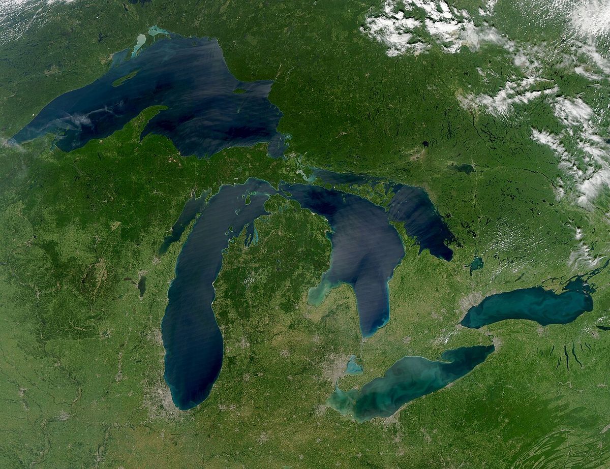
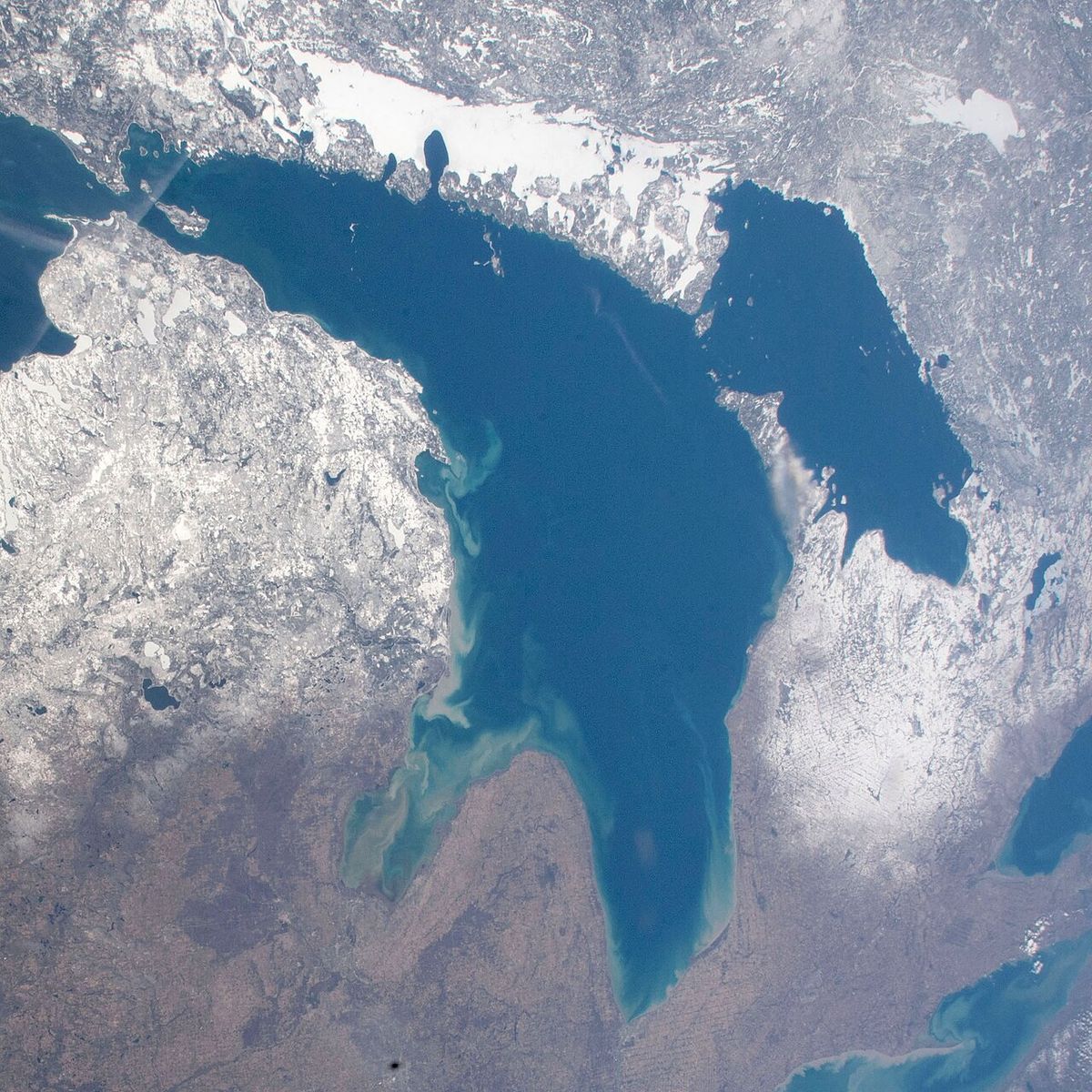
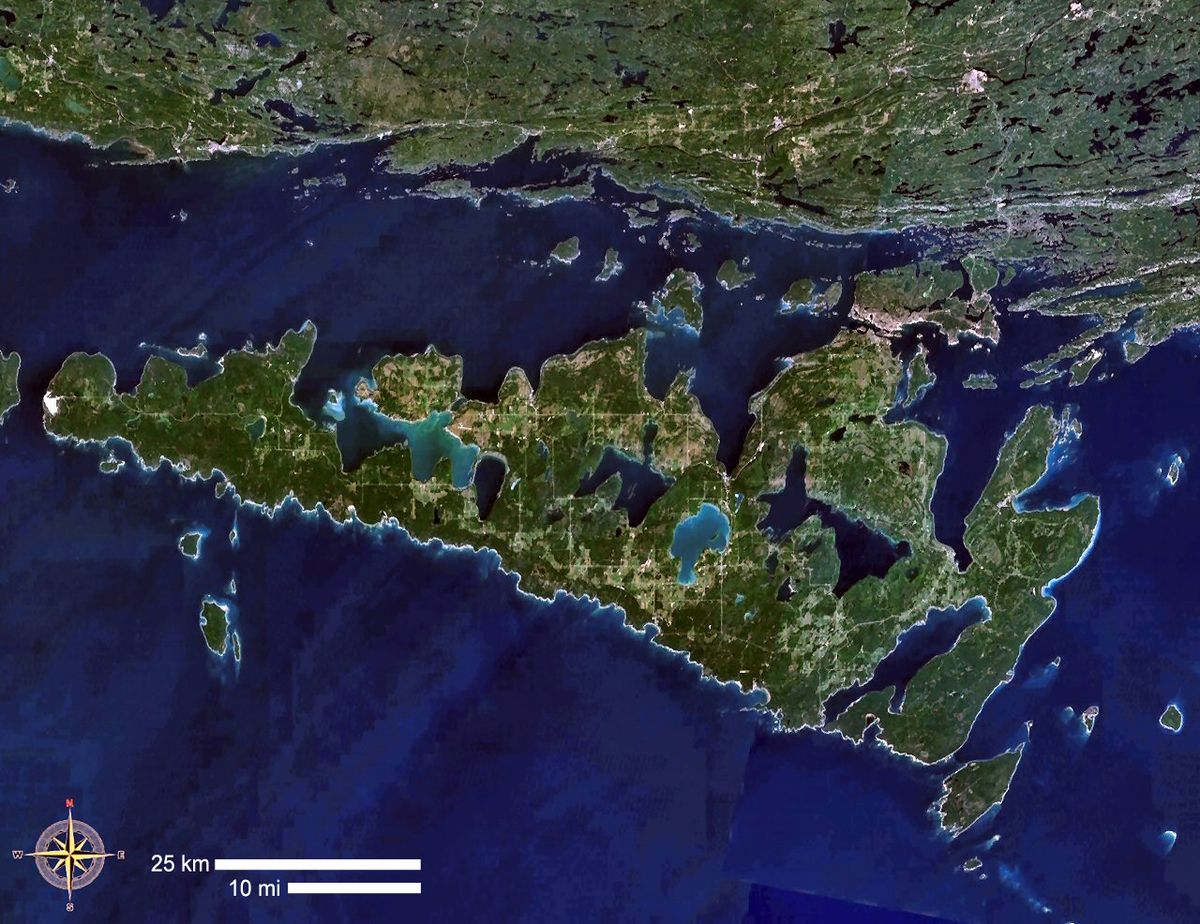
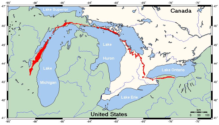
The Bruce Peninsula is a rugged limestone peninsula in Bruce County, Ontario, extending northwest into Lake Huron and separating Georgian Bay from the lake's main basin. It forms a core part of the UNESCO Niagara Escarpment World Biosphere Reserve, known for its ancient forests, dramatic cliffs, and exceptionally clear turquoise waters. The region is a premier destination for outdoor recreation, encompassing Bruce Peninsula National Park and Fathom Five National Marine Park, Canada's first national marine conservation area. Traditionally the territory of the Saugeen Ojibway Nation, the peninsula's ecological significance and natural beauty make it a vital conservation area and a major draw for visitors from across Canada and beyond.
Geography and Geology
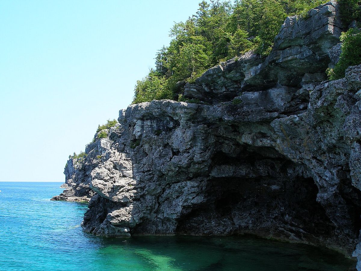
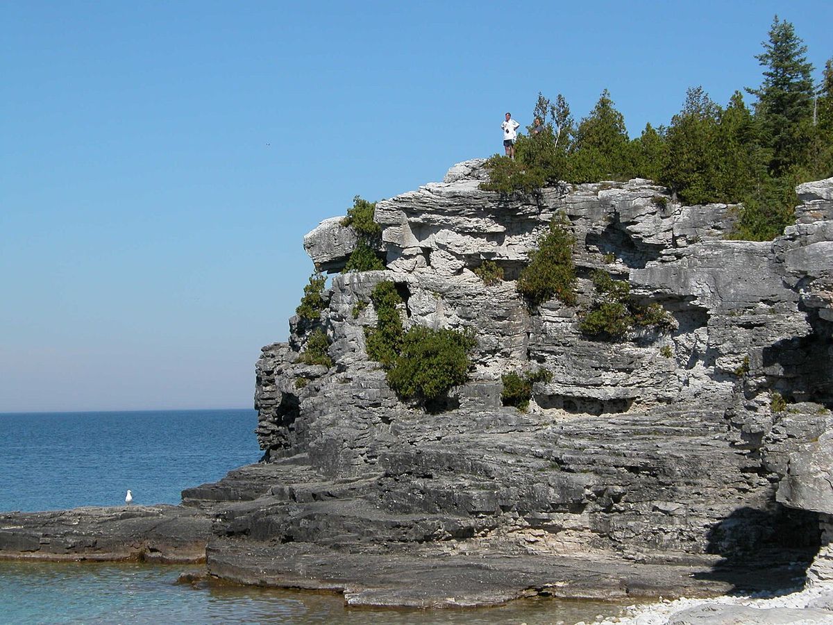
The Bruce Peninsula is a prominent physical feature of Lake Huron, forming a natural land bridge that points toward Manitoulin Island. Its most defining characteristic is its position atop the Niagara Escarpment, a massive ridge of sedimentary rock that stretches 725 kilometres from Niagara Falls to the peninsula's tip at Tobermory. This escarpment originated 430 to 450 million years ago during the Silurian period when the region was covered by a shallow tropical sea. Over millions of years, sediments and the remains of marine life compressed into the layers of dolomite, shale, and sandstone visible in the peninsula's cliffs today. The resistant dolomite caprock of the escarpment is responsible for the steep cliffs that plunge into Georgian Bay, creating the peninsula's rugged coastline. The underwater extension of this formation shapes the lake bed of Fathom Five National Marine Park, contributing to its complex topography of shoals and islands.
The peninsula's geology directly influences its hydrology and famous water clarity. The limestone bedrock acts as a natural filter, and the deep, cold waters of Georgian Bay contribute to exceptional visibility, often exceeding 30 metres. This combination results in the stunning turquoise and blue hues for which places like the Grotto are known. The landscape is further sculpted by karst processes, where slightly acidic water dissolves the limestone, creating caves, fissures, and the unique 'flowerpot' sea stacks found off the coast. These geological features provide a visible record of ancient marine ecosystems, with fossilized coral reefs and other Silurian-era life forms frequently exposed in the rock.
Indigenous History and Land Claims
The Bruce Peninsula is the traditional territory of the Saugeen Ojibway Nation, comprising the Chippewas of Saugeen First Nation and the Chippewas of Nawash Unceded First Nation. Oral histories and archaeological evidence indicate their ancestors have inhabited the region, known as Saugeen Ojibway Territory, for at least 7,500 years, with the Odawa people also present at the time of first European contact. The area of Hope Bay, called Nochemoweniing or Place of Healing, holds particular cultural significance. In the 19th century, the Crown sought to acquire these lands through treaties, beginning with the 1836 agreement that ceded territory south of the peninsula. The 1854 treaty involved the surrender of the peninsula itself, with promises from the Crown to protect Aboriginal interests and establish reserves.
For decades, the Saugeen Ojibway Nations have asserted that the Crown failed to uphold its fiduciary duties, leading to a major land claim filed in 1994. The claim seeks the return of unceded Crown lands on the peninsula and financial compensation for other territories. In a significant expansion of this claim, the two First Nations are also asserting Aboriginal title to the submerged lands of a vast portion of Lake Huron and Georgian Bay. This claim covers waters from south of Goderich to the mid-point between the Bruce Peninsula and Manitoulin Island, and east to the mid-point of Georgian Bay. A trial to adjudicate these claims and resolve disputes over the 19th-century treaties began in 2019 and remains active. In recognition of this history, Parks Canada now refers to the geographic area as the Saugeen Peninsula, though Bruce Peninsula National Park retains its name for the time being.
European Settlement and Economic Shifts
European settlement on the peninsula began in earnest in the mid-19th century, attracted by rich fisheries and vast forests despite the land's poor agricultural potential. The region was initially known as the 'Indian or Saugeen Peninsula' to these newcomers. The first sawmill was built in Tobermory in 1881, catalyzing a rapid logging boom that cleared most of the old-growth white pine and other valuable timber within two decades. The waste left from this intensive logging contributed to devastating forest fires in 1908, which burned large swaths of land. By the 1920s, the peninsula's once-abundant forests were largely barren. A further economic blow came in 1932 with the accidental introduction of the sea lamprey to the Great Lakes, which decimated commercial fish stocks and made the area less viable for permanent settlement.
These cumulative factors led to a steady population decline that lasted until the 1970s. The latter half of the 20th century saw a dramatic economic and demographic shift as the peninsula's natural beauty became its primary asset. The rise of recreational tourism transformed the economy, with seasonal cottagers and visitors beginning to outnumber permanent residents, particularly during the summer months. This new economy led to the establishment of protected areas to conserve the remaining natural heritage, most notably the creation of Bruce Peninsula National Park in 1987 and Fathom Five National Marine Park. Today, the communities balance a tourism-based economy with ongoing stewardship of the sensitive environment that draws people to the region.
Ecology and Biodiversity
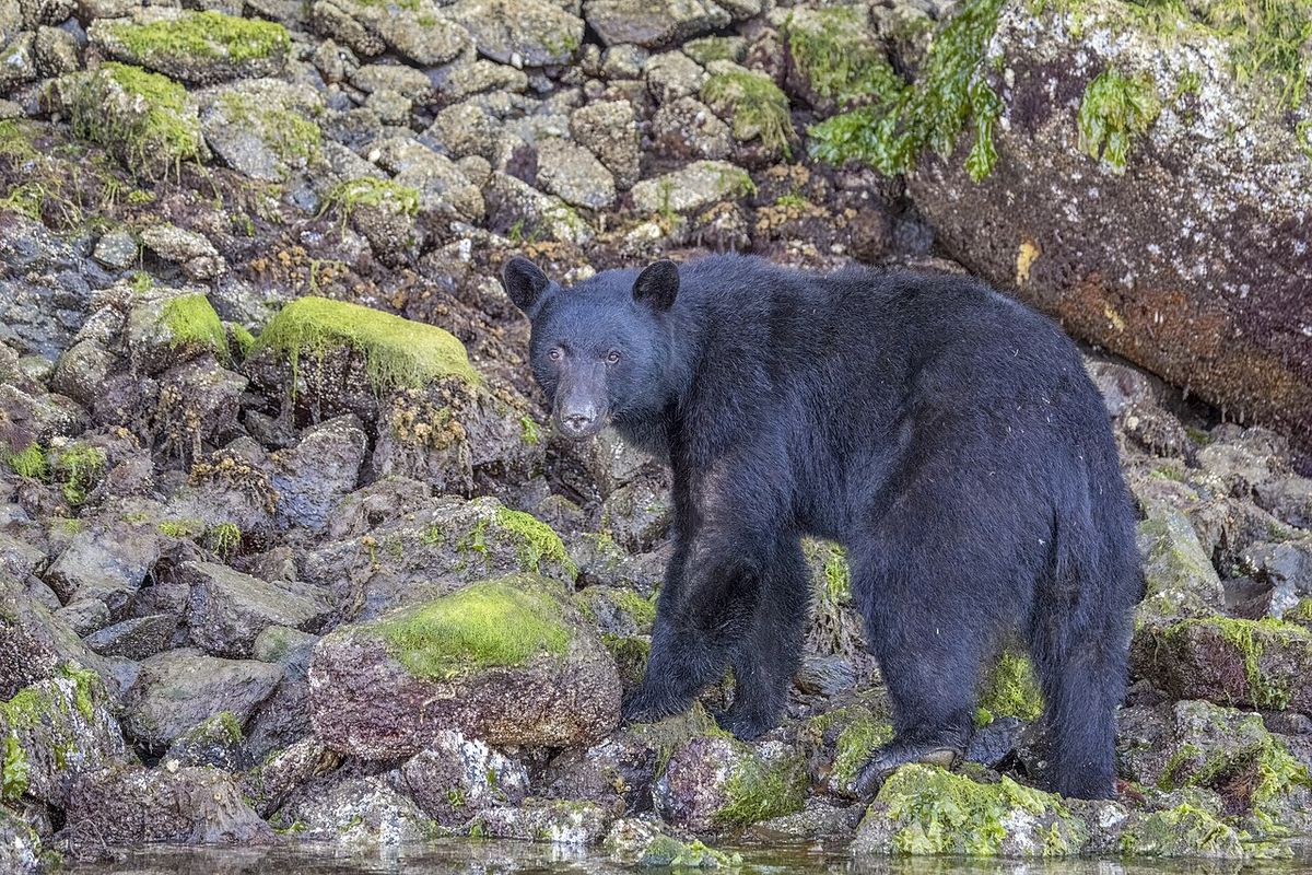
The Bruce Peninsula is an ecological treasure, representing the largest remaining contiguous block of natural habitat in southern Ontario. Its location on the Niagara Escarpment, combined with a unique microclimate cooled by Lake Huron, creates a mosaic of ecosystems ranging from rare alvar plains to dense boreal and mixed forests. This diversity supports a wide array of wildlife, including species typically found much farther north. Key mammalian inhabitants are the American black bear, fisher, red fox, and the eastern massasauga rattlesnake, Ontario's only venomous snake. The peninsula is a crucial corridor for migrating birds, serving as a major flyway for species like hawks and bald eagles, while providing breeding grounds for over 20 species of warblers.
The region is a global hotspot for botanical diversity, especially for orchids and rare ferns. Of the 61 orchid species found in Ontario, a remarkable 44 can be found on the Bruce Peninsula. This includes rare species like the ram's-head lady's-slipper and the eastern prairie fringed orchid. The area also supports half of the world's remaining population of the dwarf lake iris, a federally protected species. Other rare plants include the lakeside daisy and northern holly fern. This rich biodiversity is protected within a network of conservation areas, with the entire peninsula forming part of the Niagara Escarpment World Biosphere Reserve.
- Notable Mammals: Black bear, fisher, eastern massasauga rattlesnake, northern flying squirrel.
- Key Bird Species: Barred owl, red-shouldered hawk, black-throated blue warbler, piping plover (endangered).
- Rare Plants: Dwarf lake iris, ram's-head lady's-slipper, eastern prairie fringed orchid, lakeside daisy.
- Tree Species: Ancient eastern white cedar, black spruce, jack pine.
Parks and Protected Areas
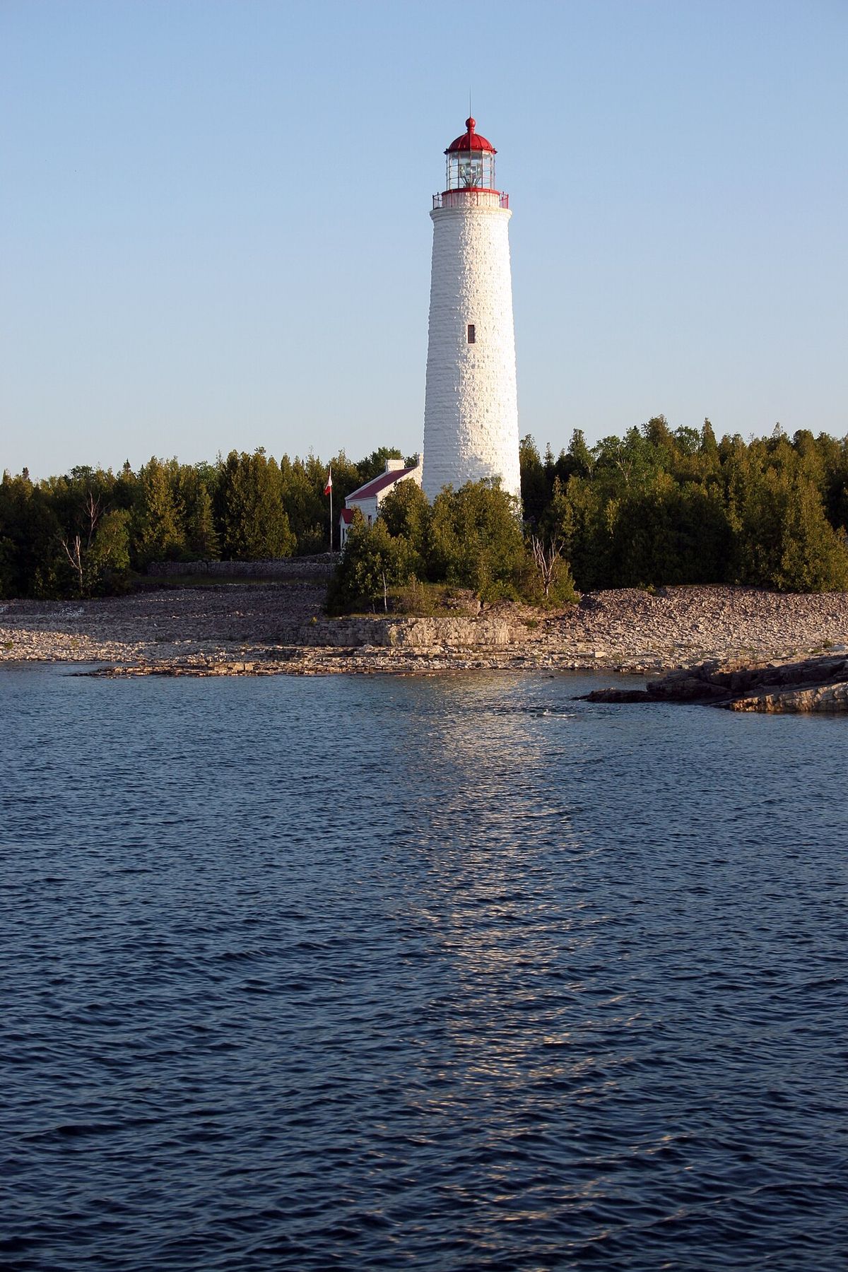
The Bruce Peninsula is defined by its extensive network of protected areas, which are fundamental to its tourism and conservation identity. The two national parks, operated by Parks Canada, are the most prominent. Bruce Peninsula National Park, established in 1987, encompasses 156 square kilometres of the escarpment's most dramatic terrain. It protects rugged cliffs, ancient cedar forests, interior lakes, and a section of the Bruce Trail. Fathom Five National Marine Park, established as Canada's first national marine conservation area, preserves a freshwater ecosystem containing 22 historic shipwrecks, several lightstations, and unique underwater geological formations popular with scuba divers. These parks work together to protect both terrestrial and aquatic ecosystems.
In addition to the national parks, the peninsula is home to eight Ontario Parks and four nature reserves managed by Ontario Nature (formerly the Federation of Ontario Naturalists). These include areas like Lion's Head Provincial Park, Smoky Head-White Bluff Provincial Park, and the Hope Bay Forest Nature Reserve. This collective protection safeguards a wide range of habitats, from coastal cliffs and cobble beaches to inland marshes and forests. Management of these areas involves balancing high visitor demand with ecological preservation, leading to measures like mandatory reservations for parking at popular day-use areas such as the Grotto and Halfway Log Dump during the peak season from May to October.
| Park Name | Type | Key Features |
|---|---|---|
| Bruce Peninsula National Park | National Park | Escarpment cliffs, the Grotto, old-growth forest, Bruce Trail |
| Fathom Five National Marine Park | National Marine Conservation Area | 22 shipwrecks, flowerpot stacks, scuba diving, lighthouses |
| Lion's Head Provincial Park | Provincial Park | Scenic lookout, hiking trails, access to Georgian Bay |
| Hope Bay Forest | Nature Reserve | Mature forest, rare flora, hiking |
Recreation and Tourism
Tourism is the lifeblood of the Bruce Peninsula's modern economy, with the region offering a vast array of outdoor activities across all seasons. Hiking is the premier activity, centred on the Bruce Trail which runs the length of the peninsula to its northern terminus in Tobermory. The Peninsula Hiking Festival, scheduled for October 2-4 in 2026, celebrates this trail with guided hikes and community events. The most famous day hike leads to the Grotto, a striking sea cave and underwater tunnel in Bruce Peninsula National Park where sunlight filters through the water, creating a glowing blue effect. Due to extreme popularity, accessing the Grotto and Halfway Log Dump areas from May to October requires a paid parking reservation secured in advance through the Parks Canada reservation system.
Camping options are diverse, ranging from drive-in sites at Cyprus Lake Campground and ten yurts to backcountry sites along the coast. The park also offers winter camping for experienced visitors. Other popular activities include kayaking along the rugged coastline, scuba diving to explore shipwrecks in Fathom Five, birdwatching especially during the spring migration Huron Fringe Birding Festival, and stargazing as the park is a designated Dark Sky Preserve. The MS Chi-Cheemaun ferry provides a scenic connection from Tobermory to Manitoulin Island from spring through fall. To manage overtourism and support the local community, Parks Canada hosts Community Days, such as the one scheduled for August 10, 2026, where parking at key sites is reserved exclusively for residents of Northern Bruce Peninsula and members of the Saugeen Ojibway Nation.
- Key Hikes: Bruce Trail, trail to the Grotto, Halfway Log Dump access trail.
- Water Activities: Scuba diving at shipwrecks, kayaking, swimming at Indian Head Cove.
- Seasonal Events: Peninsula Hiking Festival (Oct 2-4, 2026), Huron Fringe Birding Festival (May).
- Camping Types: Drive-in sites, yurts, backcountry camping, group camping, winter camping.
- Ferry Service: MS Chi-Cheemaun (Tobermory to South Baymouth, Manitoulin Island).
- Community Access: Exclusive resident parking days (e.g., August 10, 2026).
Communities and Access
The Bruce Peninsula is administratively divided between the Municipalities of Northern Bruce Peninsula and South Bruce Peninsula. The main communities serve as gateways and service hubs for visitors while maintaining their own unique characters. Tobermory, at the northern tip, is the primary tourist centre, hosting the Parks Canada Visitor Centre, the Chi-Cheemaun ferry terminal, and access to both national parks. Lion's Head, roughly midway along the Georgian Bay coast, features a picturesque harbour, a sandy beach, and dramatic cliffs. Wiarton, near the base of the peninsula, is known as the home of the weather-predicting groundhog Wiarton Willie. Sauble Beach on Lake Huron has one of the longest freshwater beaches in the world, stretching over 11 kilometres.
Access to the peninsula is primarily by car via Highway 6, which runs its length to Tobermory. Seasonal bus service from Toronto is provided by a private company, Parkbus. The Parks Canada Visitor Centre at 120 Chi sin tib dek Road in Tobermory is the essential first stop for information, maps, and trip planning, open daily from 9 a.m. to 5 p.m. from mid-May to late October. Visitors must be prepared for the park's popularity. Reservations for camping and for parking at the Grotto and Halfway Log Dump are mandatory during peak season and are released months in advance. For a quieter experience, Parks Canada encourages visits during the shoulder seasons of spring and fall or in winter, when the landscape offers a stark and beautiful contrast for snowshoeing and winter hiking.
Questions about Bruce Peninsula
Do I need a reservation to visit Bruce Peninsula National Park?
Yes, reservations are required for most visits during the peak season from May to October. You need a paid parking reservation to access the day-use areas for the Grotto and Halfway Log Dump. These reservations are released in advance through the Parks Canada reservation system and often sell out quickly. Camping reservations for the Cyprus Lake Campground, yurts, and backcountry sites are also mandatory and should be booked well ahead of your trip. Visiting outside of peak season or on designated Community Days may have different requirements.
What is the best time of year to visit the Bruce Peninsula?
The best time depends on your interests. Summer (June to August) offers warm weather for swimming and hiking but comes with the largest crowds. The fall (September and October) provides cooler temperatures, stunning foliage, and fewer visitors, with events like the Peninsula Hiking Festival in early October. Spring (May and early June) is ideal for birdwatching and seeing wildflowers, especially orchids. Winter attracts visitors for snowshoeing, winter camping, and stargazing in the Dark Sky Preserve, offering a completely different and serene experience.
How do I get to the Bruce Peninsula without a car?
While having a car provides the most flexibility, it is possible to visit without one. Parkbus operates seasonal bus service from Toronto directly to the Bruce Peninsula. Once in Tobermory, you can explore the village on foot and access some park trails. The MS Chi-Cheemaun ferry connects Tobermory to Manitoulin Island, providing a scenic travel option. However, to reach many of the trailheads and key natural attractions outside the village, you would need to use local taxi services or join a guided tour, as public transit on the peninsula itself is very limited.
Are there bears on the Bruce Peninsula and is it safe to hike?
Yes, black bears are native residents of the Bruce Peninsula and are commonly encountered, especially in Bruce Peninsula National Park. While bear encounters are frequent, attacks are extremely rare. Parks Canada recommends hiking in groups, making noise on the trail, carrying bear spray, and properly storing all food and garbage. In 2026, increased bear activity has even led to temporary closures of areas like the Cyprus Lake Campground. It is important to check for active wildlife bulletins from Parks Canada before your visit and always follow posted guidelines for safe travel in bear country.
What are the must-see attractions in Bruce Peninsula National Park?
The absolute must-see is the Grotto, a striking sea cave and swimming hole on Georgian Bay, accessed via a 30-minute hike from the Cyprus Lake parking area. The hike to Halfway Log Dump offers similar dramatic shoreline scenery with fewer crowds. The park's section of the Bruce Trail provides endless hiking opportunities along the escarpment edge. For a different perspective, visit Singing Sands beach on Lake Huron, known for its long boardwalk and unique singing sand phenomenon. In Fathom Five National Marine Park, taking a glass-bottom boat tour to see the shipwrecks and flowerpots is a highly recommended activity.
What is the significance of the Saugeen Ojibway Nation to the peninsula?
The Saugeen Ojibway Nation, comprising the Chippewas of Saugeen and Nawash First Nations, are the original inhabitants and traditional keepers of the Saugeen (Bruce) Peninsula, with a history spanning thousands of years. Their deep cultural and spiritual connection to the land and waters is central to the region's identity. Parks Canada now officially refers to the geographic area as the Saugeen Peninsula in recognition of this. The Nations have an active land claim before the courts, asserting title to both peninsula lands and a vast portion of Lake Huron and Georgian Bay. Visitors are encouraged to learn about this history and the ongoing relationship between the Nations and this territory.
Sources and further reading
- Bruce Peninsula (Wikipedia)
- Bruce Peninsula National Park, Parks Canada (parks.canada.ca)
- Bruce Peninsula National Park Community Day August 10 (brucepeninsulapress.com)
- 2026 Peninsula Hiking Festival (peninsula.brucetrail.org)
- Bruce Peninsula National Park (destinationontario.com)
Checked by the Your Space Hamilton desk. Last updated 2026-10-24.