Manitoulin Island
Manitoulin Island is the world's largest freshwater island, situated in Lake Huron within the province of Ontario. With an area of 2,766 square kilometres, the island is a significant geographical and cultural landmark, containing over 100 of its own inland lakes. It is considered sacred by the Anishinaabe people, whose history on the land dates back thousands of years, as evidenced by archaeological sites like Sheguiandah. Today, Manitoulin is a popular tourist destination known for its natural beauty, unique ecology, and its Indigenous and settler communities.
Geography and Geology
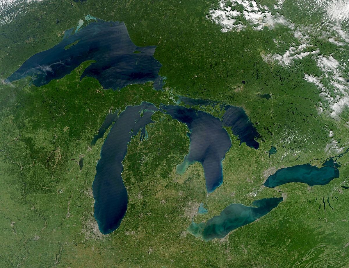
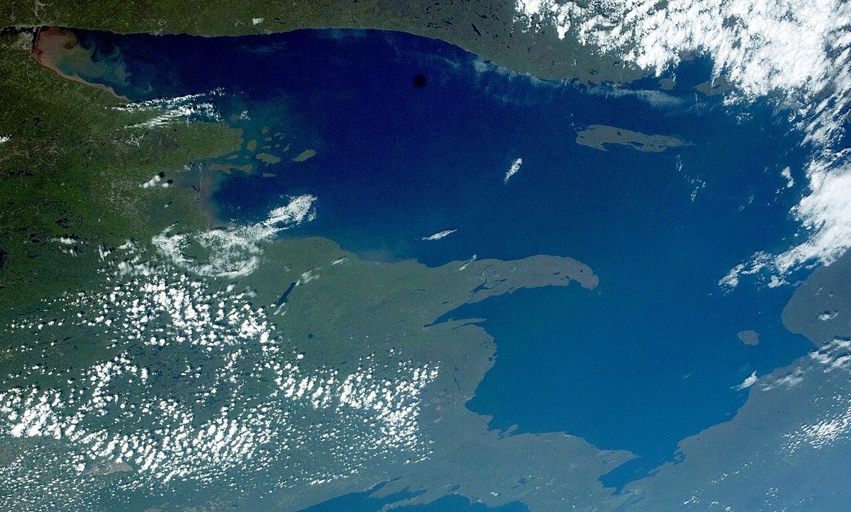
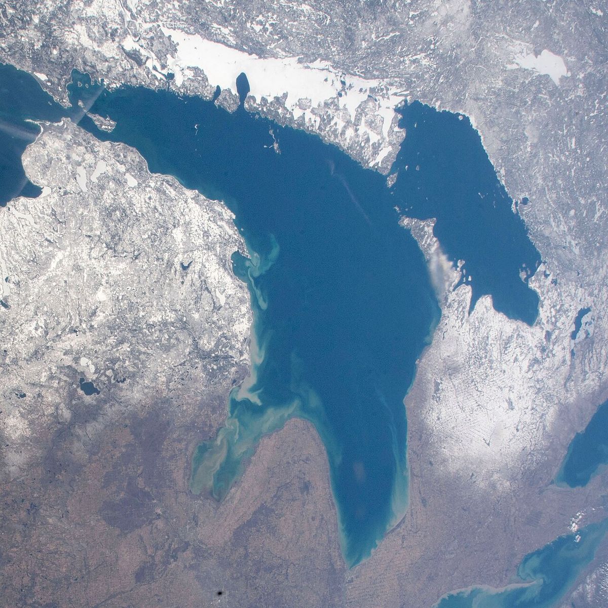
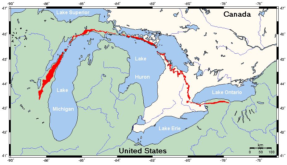
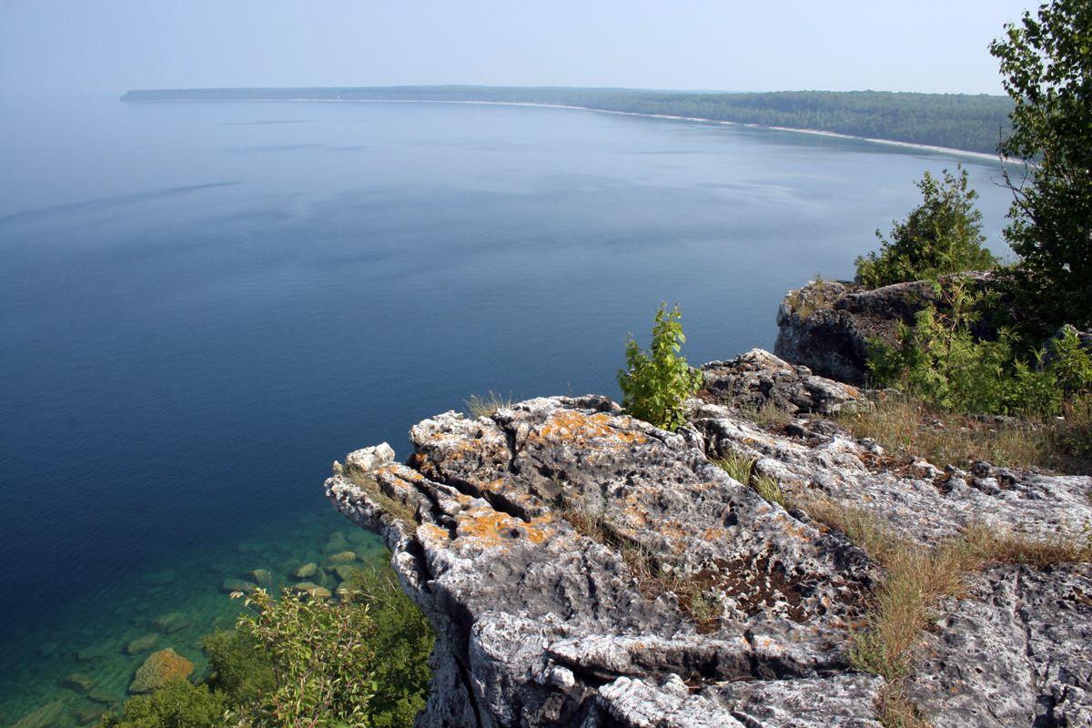
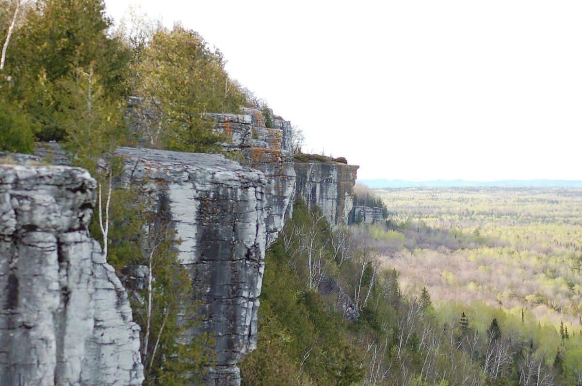
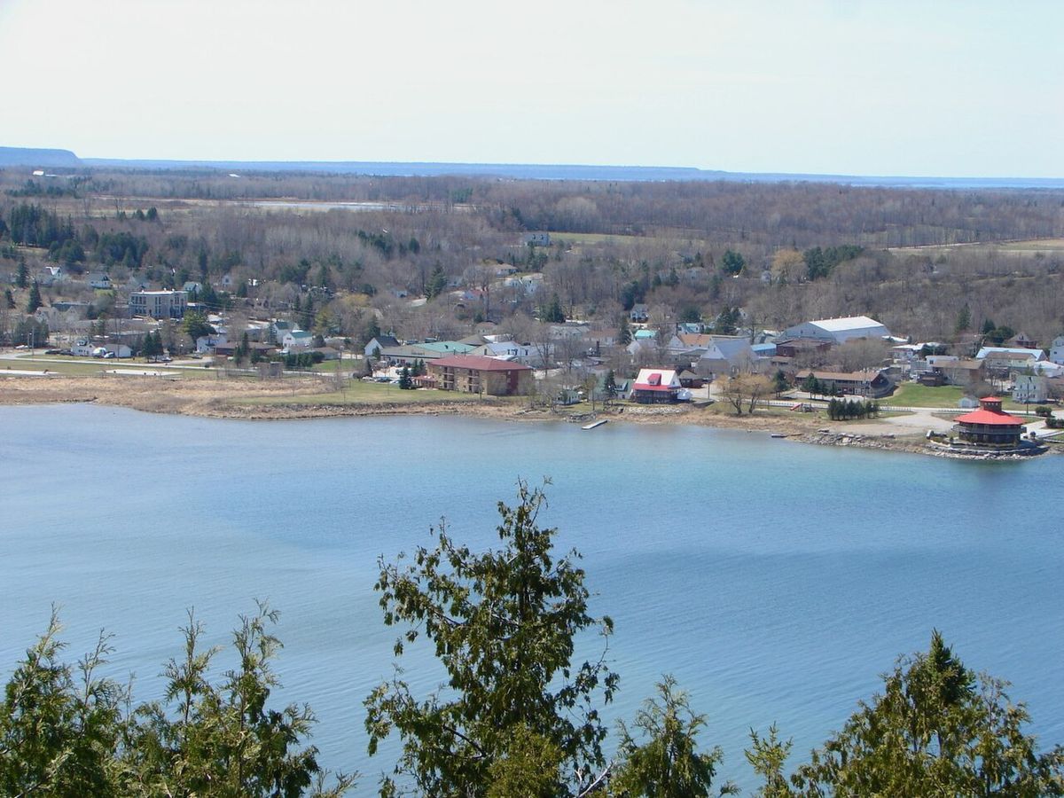
Manitoulin Island's vast area of 2,766 square kilometres positions it as the largest lake island in the world, ranking as the 174th largest island globally and the 31st largest in Canada. The island acts as a natural divider within Lake Huron, separating the main body of the lake to the south and west from Georgian Bay to the east and the North Channel to the north. Its landscape is a continuation of the Niagara Escarpment and Bruce Peninsula, characterized primarily by dolomite rock formations that contribute to its rolling terrain and scenic lookouts like the Cup and Saucer Trail. The island's unique geology supports a distinct alkaline soil that influences its local flora, setting it apart from much of the surrounding boreal region.
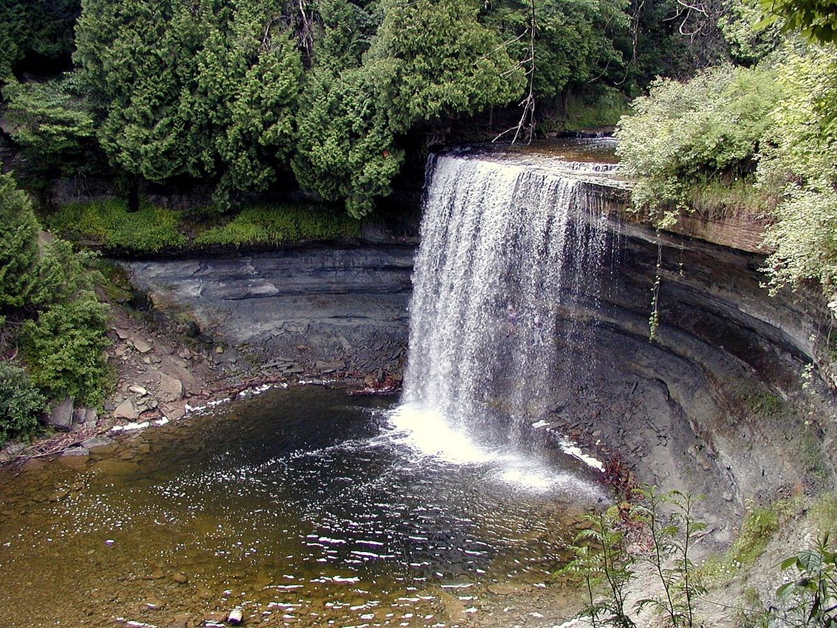
Internally, Manitoulin Island is renowned for its complex hydrology, featuring 108 freshwater lakes within its own borders. The three largest of these are Lake Manitou, Lake Kagawong, and Lake Mindemoya, each with their own notable features. Lake Manitou, covering 104 square kilometres, holds the record as the largest lake situated on a freshwater island anywhere in the world. Lake Mindemoya contains Treasure Island, a 33-hectare landmass that is famously cited as the largest island in a lake on an island in a lake. Four major rivers, the Kagawong, Manitou, Mindemoya, and Blue Jay Creek, flow through the island, providing crucial spawning habitats for salmon and trout.
Conservation efforts for these waterways are spearheaded by the Manitoulin Streams Improvement Association, which was formed in 2000 and incorporated in 2007. The organization focuses on rehabilitating streams, rivers, and creeks to improve water quality and fisheries. By 2010, the association had completed enhancement work on 17 major sites along the Manitou River and three on Blue Jay Creek, with additional projects on Bass Lake Creek and Norton's Creek. The group had plans to begin similar rehabilitation work on the Mindemoya River starting in 2010, continuing its mission to protect the island's aquatic ecosystems. Motors are prohibited on boats on Nameless Lake, one of the island's many smaller bodies of water, as part of local conservation measures.
Climate and Ecology
Manitoulin Island experiences a humid continental climate, moderated significantly by the surrounding waters of Lake Huron. This results in warm summers and cold winters, with the island exhibiting long stretches of marked seasonal differences. Despite its mid-latitude location, the island's climate is comparable to more northern boreal regions, such as Hokkaido in Japan, due to the cooling influence of the Great Lakes. The moderating effect helps to temper extreme temperatures but also contributes to the heavy lake-effect snowfall that is common during the winter months.
The island's alkaline soil, a result of its dolomite bedrock, creates a unique ecological niche that supports plant life distinct from the acidic soils typical of Northern Ontario. This precludes the growth of common northern flora like blueberries but allows for the proliferation of hawthorn trees and their fruit, known as hawberries. These tart red berries are so emblematic of the island that native-born residents are colloquially called 'Haweaters'. The annual Haweater Festival, held on the August long weekend, celebrates this identity with parades, fireworks, craft shows, and rural competitions, drawing a significant influx of tourists to the island. The festival's attractions include traditional events like horse pulls, which highlight the island's rural character and heritage.
History and Archaeology
The human history of Manitoulin Island spans millennia, with archaeological evidence pointing to some of the earliest human activity in Ontario. In 1952, archaeologist Thomas E. Lee discovered the Sheguiandah site, unearthing artefacts from the Paleo-Indian and Archaic periods. Initial findings suggested occupation dating to at least 10,000 BC, with the site's significance generating such public interest that it contributed to Ontario passing legislation in 1953 to protect archaeological sites. Further excavations in the early 1990s, employing modern scientific methods from botany and other disciplines, confirmed the site was at least 9,500 years old, solidifying its status as one of the province's most important prehistoric locations.
The island's name, Manitoulin, is the English version, via French, of the Ottawa or Ojibwe name Manidoowaaling, meaning 'cave of the spirit', referring to a legendary underwater cave where a powerful spirit is said to live. The modern Odawa name for the island is Mnidoo Mnising, or 'Spirit Island', reflecting its sacred status to the Anishinaabe people, including the Ojibwe, Odawa, and Potawatomi nations who identify as the People of the Three Fires. The first recorded European settlement was a French Jesuit mission established by Father Joseph Poncet near Wiikwemkoong in 1648, with the Jesuits calling the island 'Isle de Ste-Marie'. However, by 1650, raids during the Beaver Wars by the Five Nations of the Iroquois drove the Anishinaabe from the island, which then remained largely uninhabited for nearly 150 years.
Following the War of 1812, Anishinaabe peoples began to return to Manitoulin. In 1836, they ceded the island to the British Crown, which designated it as a refuge for Indigenous peoples. A Roman Catholic mission was re-established by Jean-Baptiste Proulx in 1838, and the Jesuits took over this mission in 1845. In 1862, the government opened the island to non-Native settlement through the Manitoulin Island treaty, though the Wiikwemikong First Nation maintains it did not accept this agreement. The legacy of these treaties is commemorated by an Ontario Historical Plaque at the Assiginack Museum. According to Anishinaabe oral tradition, when the people left the island in 1650, they burned their settlements to purify the land from disease.
Demographics and Governance
As of the 2016 census, Manitoulin Island had a population of 13,255 permanent residents. The demographic composition is notably diverse, with 40.6 percent of residents identifying as Aboriginal (First Nations) and 59 percent as White (European-Canadian). Other ethnic groups recorded include 0.4 percent Black (African-Canadian). In terms of religious affiliation, 42.3 percent identified as Protestant, 37.3 percent as Roman Catholic, 2.7 percent as other Christian, and 17.7 percent with another or no religion. The island's linguistic landscape is primarily English, spoken by 80.8 percent of the population as a first language, followed by Ojibwe at 11.2 percent, French at 2.8 percent, and German and Odawa each at 0.8 percent.
The island's political structure is a blend of municipal and First Nations governance. It contains two incorporated towns: Northeastern Manitoulin and the Islands, and Gore Bay. There are also eight townships:
- Assiginack
- Billings
- Burpee and Mills
- Central Manitoulin
- Dawson
- Gordon/Barrie Island
- Robinson
- Tehkummah
Transportation and Access
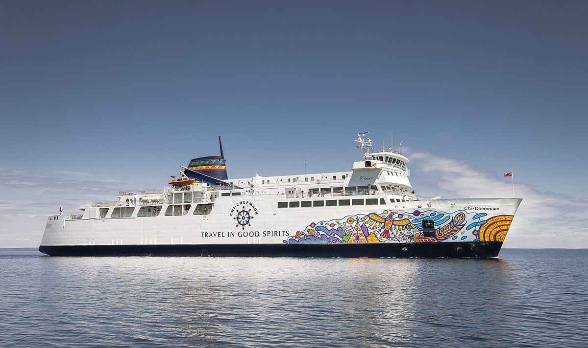
Year-round vehicular access to Manitoulin Island is provided by the one-lane Little Current Swing Bridge, which crosses the North Channel at the town of Little Current. From late May to early October, this connection is supplemented by the MS Chi-Cheemaun, a daily passenger and vehicle ferry whose name means 'Big Canoe' in Ojibwe. The ferry travels between Tobermory on the Bruce Peninsula and South Baymouth on Manitoulin, a service that is suspended during the winter months due to ice conditions on Lake Huron. These transportation links are vital for both residents and the tourism industry, which sees the island's population swell by more than a quarter during the summer season.
For air travel, the island is served by two airports. The Gore Bay-Manitoulin Airport and the Manitoulin East Municipal Airport, the latter of which opened in 1988, accommodate small planes and offer Border Patrol clearance for international flights. These facilities support general aviation, medical transport, and regional connectivity. The combination of bridge, ferry, and air services ensures Manitoulin remains accessible while preserving its relatively remote and scenic character. The North Channel was historically part of the route used by French colonial voyageurs and coureurs des bois to reach Lake Superior.
Notable Residents
Manitoulin Island has been the birthplace or home to numerous individuals who have made significant contributions in arts, activism, and other fields. The island's strong Indigenous heritage is reflected in many of these notable figures, including Carl Beam, a groundbreaking Canadian artist of Native ancestry, and Kevin Closs, an independent rock recording artist raised in Manitowaning. Other prominent residents are Jeannette Corbiere Lavell, an Indigenous women's rights activist and founder of the Ontario Native Women's Association, and Ethel Rogers Mulvany, a Canadian social worker and teacher. The list also includes Daphne Odjig, a celebrated artist born and raised on the Wiikwemkoong First Nation, and Isabel Paterson, a Canadian-American writer and literary critic born on Manitoulin Island.
- Carl Beam, a groundbreaking Canadian artist of Native ancestry.
- Kevin Closs, an independent rock recording artist raised in Manitowaning.
- Jeannette Corbiere Lavell, an Indigenous women's rights activist and founder of the Ontario Native Women's Association.
- Ethel Rogers Mulvany, a Canadian social worker and teacher.
- Daphne Odjig, a celebrated artist born and raised on the Wiikwemkoong First Nation.
- Isabel Paterson, a Canadian-American writer and literary critic born on Manitoulin Island.
- Autumn Peltier, a global Indigenous water activist and water protector from Wiikwemkoong, who was a top finalist for the 2022 International Children's Peace Prize.
- Crystal Shawanda, a country music artist from Wiikwemkoong.
- Lucky Thompson, an American jazz saxophone player who resided on the island.
These individuals highlight Manitoulin Island's role as a source of cultural and creative talent, particularly within Canada's Indigenous communities. Notable residents include artists like Carl Beam and Daphne Odjig, musician Crystal Shawanda, and activist Autumn Peltier. The town of Manitowaning, whose name derives from a newer pronunciation of the same word for 'cave of the spirit', is located on Manitoulin Island near the legendary underwater cave. Manitowaning is the hometown of several residents, including independent rock recording artist Kevin Closs.
Cultural Significance and Economy
Manitoulin Island's culture is deeply rooted in its Anishinaabe heritage and its history of European settlement. The island is considered sacred by the Native Anishinaabe people, and this spiritual connection is central to its identity. The name of the town Manitowaning, a 19th-century Odawa name 'Manidoowaaning', is directly linked to the legendary spirit cave for which the island itself is named. This blend of cultures is evident in community events, artistic expression, and daily life, creating a distinct regional character that attracts visitors and sustains its residents.
The local economy is supported by a mix of tourism, small-scale agriculture, and fisheries management. The summer tourist season is a major economic driver, with activities centred on the island's scenic surroundings, including boating, fishing, hiking, and exploring its many lakes and trails. The Haweater Festival is a key event that encapsulates this tourist appeal, featuring parades, firework shows, and craft shows. Rural competitions such as horse pulls are also part of the festival, connecting visitors to the island's agricultural traditions. The Manitoulin Streams Improvement Association's work on river rehabilitation also supports the sustainable management of the fisheries resource, which is important for both recreation and local ecology.
Questions about Manitoulin Island
Where is Manitoulin Island located?
Manitoulin Island is located in Lake Huron, within the Canadian province of Ontario. It separates the larger part of Lake Huron to its south and west from Georgian Bay to its east and the North Channel to the north. Although culturally and politically considered part of Northern Ontario, the island is physiographically part of Southern Ontario. It is an eastward extension of the Interior Plains, a region characterized by low relief and sedimentary underpinnings.
How big is Manitoulin Island?
Manitoulin Island has an area of 2,766 square kilometres (1,068 square miles). This makes it the largest freshwater island in the world. It is also the 174th largest island in the world and Canada's 31st largest island. The island itself contains 108 freshwater lakes, including Lake Manitou, which at 104 square kilometres is the largest lake on a freshwater island in the world.
How do you get to Manitoulin Island?
Year round motor vehicle access to Manitoulin Island is available via the one lane Little Current Swing Bridge, which crosses the North Channel at Little Current. From late May to early October, the MS Chi Cheemaun passenger and vehicle ferry travels daily between Tobermory on the Bruce Peninsula and South Baymouth. The island also has two airports, Gore Bay Manitoulin Airport and Manitoulin East Municipal Airport. Both airports allow small planes access to the island and provide Border Patrol clearance.
What is the Haweater Festival?
The Haweater Festival is an annual event held on the August long weekend. It celebrates Manitoulin Island's unique identity, with the name 'Haweater' referring to people born on the island. This nickname comes from the island's trademark hawberries, which grow in its relatively alkaline soil. The festival attracts numerous tourists and features parades, firework shows, craft shows, and rural competitions such as horse pulls.
What is the history of Indigenous peoples on Manitoulin Island?
Indigenous peoples have inhabited Manitoulin Island for thousands of years, with archaeological evidence at the Sheguiandah site dating back to at least 10,000 BC. The island is sacred to the Anishinaabe people, or People of the Three Fires. They were displaced by Iroquois raids around 1650 but began returning after the War of 1812. The island was ceded to the Crown in 1836 as a refuge, but was opened to non-Native settlement by treaty in 1862, a move not accepted by the Wiikwemikong First Nation.
What languages are spoken on Manitoulin Island?
According to 2016 demographics, the most common first language on Manitoulin Island is English, spoken by 80.8 percent of the population. Ojibwe is the second most common at 11.2 percent, followed by French at 2.8 percent. German and Odawa are each spoken by 0.8 percent of the population. The modern Odawa name for Manitoulin Island is Mnidoo Mnising, meaning 'Spirit Island'.
Sources and further reading
- Manitoulin Island (Wikipedia)
- Manitoulin Eco Park & DarkSky | Island Camping | Ontario (manitoulinecopark.com)
- Manitoulin Eco Park, Ontario | Dark-Sky Preserve (rasc.ca)
- Municipal Parks & Lookouts (townofnemi.on.ca)
Checked by the Your Space Hamilton desk. Last updated 2026-10-19.