Toronto Harbour
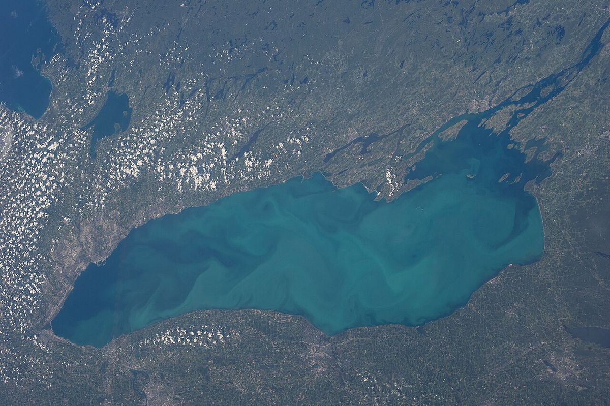
Toronto Harbour, also known as Toronto Bay, is the natural bay on the north shore of Lake Ontario that forms the waterfront of downtown Toronto, Ontario. Historically the economic and military gateway to the city, the harbour has been extensively reshaped by infilling and engineering over two centuries. Today, it is a complex area divided into an Inner Harbour for mixed commercial and recreational use and an Outer Harbour primarily for private boating. The harbour is central to Toronto's identity, providing the setting for major cultural institutions like Harbourfront Centre, the gateway to the Toronto Islands, and the focus of an ongoing, large-scale waterfront revitalization effort involving all three levels of government.
Geography and Layout
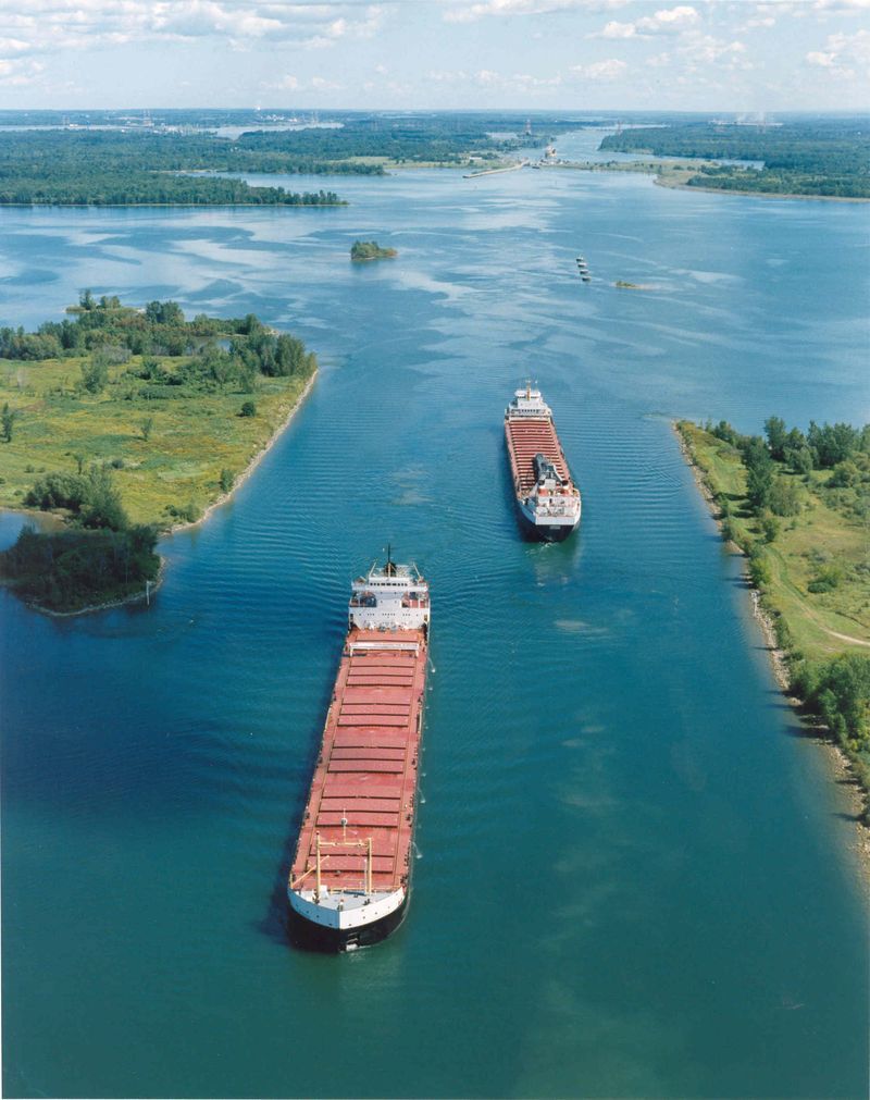
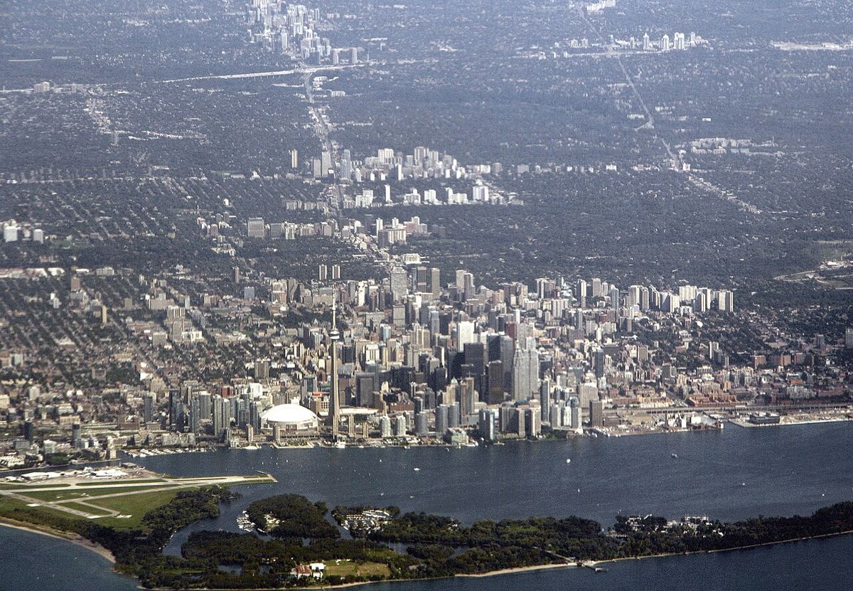
The harbour consists of two distinct sections: the sheltered Inner Harbour and the more exposed Outer Harbour. The Inner Harbour is accessed via two engineered channels, the Western Gap and the Eastern Gap. The Western Gap, constructed in 1910, is approximately 120 metres wide and over 31 metres deep, allowing large lake freighters to enter. The Don River flows into the Inner Harbour's northeast corner through the Keating Channel, a route that is being naturalized as part of the Port Lands Flood Protection Project. The composition of the harbour bottom varies significantly, ranging from stone near the Western Gap to sand near Billy Bishop Toronto City Airport and the western parts of the Toronto Islands' north shore, and clay near the harbour centre with mud near the Don River's mouth.
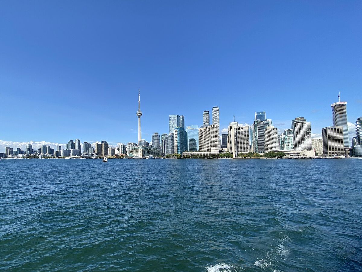
The Toronto Islands, a chain of small islands just offshore from downtown, provide a natural breakwater that shelters the Inner Harbour. These islands are largely parkland but also host residential areas, boat clubs, the Centreville Amusement Park, the airport, and the historic Gibraltar Point Lighthouse built in 1808. The north shore of the Inner Harbour has been extended southward through successive infill projects, moving the shoreline approximately 500 metres south from its original position just south of Front Street. This reclaimed land now supports a mix of residential towers, cultural venues, parks, and the last remaining port-related industries, such as the Redpath Sugar Refinery. The final major infill on the north shore occurred in the 1950s from Yonge Street east to the Don River, creating space for the refinery, the Victory Soy Mills, and marine terminals.
Historical Development
The harbour's modern history began with the founding of the Town of York in 1793 in a ten-block rectangle alongside Taddle Creek. A government wharf was built, and by 1801 York was an official port of entry for immigrants and cargo. The War of 1812 saw the harbour defended by Fort York at the mouth of Garrison Creek and a blockhouse on the island, while an armed schooner was burned at the York Naval Shipyards to prevent its capture by American invaders. Throughout the early 19th century, cargo was transferred to smaller Durham boats and batteaux at Montreal to traverse the rapids of the St. Lawrence River before reaching Toronto. The harbour expanded significantly with the construction of wharves like Merchant's Wharf at Caroline Street, Cooper's Wharf at Church Street, and the Queen's Wharf at the foot of Bathurst Street, which was built in stages and eventually reached 74 metres in length at a cost of £4,500. The first harbourmaster, Hugh Richardson, was appointed in 1833 and served until 1870.
Major physical transformation began in the mid-1800s. The Esplanade project, a 30-metre-wide road proposal south of Front Street, was completed by 1865 and created new land through cribbing and filling, which was later used primarily for railway lines. The Toronto Islands were formed when storms in 1852 and 1858 breached the sandy peninsula that originally enclosed the bay, creating the permanent Eastern Gap. The 1852 break occurred through excavations made for construction sand. Railway arrival, starting with the Ontario, Simcoe and Huron line in 1853, integrated the harbour with inland distribution networks, and manufacturers like soap producers used the harbour to receive raw materials by boat and distribute finished goods by rail. Industrial growth was exemplified by the Gooderham and Worts Distillery, which by 1837 was producing over 110,000 litres of whiskey annually using a windmill on the waterfront for power.
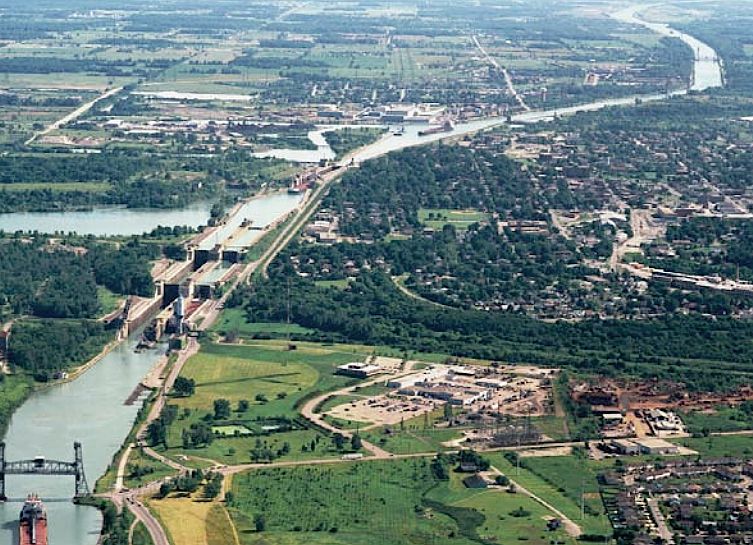
The 20th century brought centralized planning and further engineering. The Toronto Harbour Commission, created in 1911, dredged the harbour to a depth of 7.3 metres to match the new Welland Canal and delivered its first comprehensive plan for the waterfront from the Humber River to Woodbine Avenue in 1912. The Western Gap was excavated in 1910 because the original channel's rock bottom could not be dredged, and the removed sand created 18 hectares of new land split north and south of the new channel. The 1920s saw the filling of most of the Ashbridge's Bay marsh to create the eastern inner harbour, leaving only a small section and the shipping channel. The 1930s infill of Hanlan's Bay created the Toronto Island Airport. A second Outer Harbour was developed in the 1950s and 1960s with a new breakwater called the Outer Harbour East Headland, but anticipated shipping increases from the Saint Lawrence Seaway never materialized. Commercial decline by the 1970s spurred the Harbourfront redevelopment project, which expropriated lands west of York Street and converted industrial lands to recreational and cultural uses, renovating structures like the Terminal Warehouse.
Contemporary Uses and Operations
The harbour today supports a diverse range of activities under the management of PortsToronto. The Port of Toronto, on the eastern shore, handles cargo such as aggregates and raw sugar delivered to industries like the Redpath refinery. The International Marine Passenger Terminal, opened on June 27, 2005, serves cruise ships and was briefly used for a ferry service to Rochester, New York, which operated under names like The Breeze and The Cat between 2004 and 2006 before failing due to financial losses and lack of a permanent Toronto terminal initially. Pleasure and party cruise boats dock along the shore west of York Street, and the harbour is also associated with the legendary creature Gaasyendietha from Seneca mythology.
The north shore is dominated by the Harbourfront Centre, a major community campus for arts, culture, and recreation at 235 Queens Quay West that includes the Power Plant Contemporary Art Gallery. The area features parks like HtO Beach, hotels including the Westin Harbour Castle, an amphitheatre, and many other facilities converted from industrial land. The Martin Goodman Trail runs along the waterfront, providing dedicated lanes for cyclists and pedestrians and connecting to beaches across the city. The Outer Harbour is used almost exclusively by private boats and is home to the Outer Harbour Sailing Federation, comprising eight community water-sport clubs sharing a strip east of Cherry Beach. The Billy Bishop Toronto City Airport, located on the Toronto Islands, is accessed via ferry and a pedestrian tunnel from the mainland. Water quality at Cherry Beach typically meets high environmental and safety standards, making it a popular summer destination.
Ongoing Revitalization and Future Projects
A significant transformation of Toronto's waterfront has been underway since the creation of Waterfront Toronto in 2001, a tri-government agency focused on building complete neighbourhoods with natural wildlife habitats, affordable housing, public art, and places to work and play. Major projects are coming to fruition, particularly in 2026. The Don River Mouth Naturalization and Port Lands Flood Protection Project, which began in 2018, will create a naturalized river mouth and new parkland, including Biidaasige Park on the created Villiers Island, with completion expected in 2024. This project reconnects the Don River to Lake Ontario and has involved demolishing piers like Essroc and Polson to create new parkland and a regulatory flood channel that will spill into the Ship Channel.
Several key developments opened or are opening to the public in 2026. The Corleck Building, a heritage structure that once served as the administrative offices of the Canada Malting Silos in the 1940s, has been revitalized into a 9,600-square-foot arts and culture venue for the Canada Ireland Foundation, which will use upper-floor office space to curate cultural experiences. The restoration of the adjacent Canadian Malting silos is also complete, with plans for a gallery or museum along the main floor. The Lassonde Art Trail, a 4.2-kilometre path in Biidaasige Park featuring large-scale outdoor sculptures from Canadian and international artists, establishes a new open-air museum in the Port Lands. The Bentway's Waterfront ReConnect project is improving pedestrian underpasses along the Gardiner Expressway at locations like York, Lower Simcoe, and Rees Streets, with the Dan Leckie Way lighting project finishing in 2026 to animate the underpass with creative lighting. The Sky Tower at One Yonge Street, set to become Canada's tallest residential tower at 106 storeys and 352 metres, is opening in 2026, featuring the Le Méridien Toronto Pinnacle Hotel, 958 luxury residences, and a signature restaurant on the 106th floor.
Cultural and Community Life
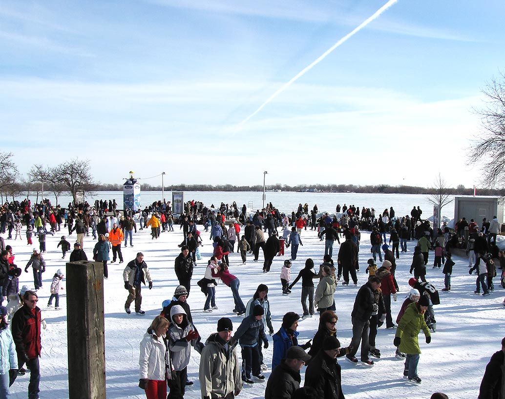
The harbour is a central hub for year-round cultural programming and major events. Harbourfront Centre hosts extensive arts programming, festivals, and craft workshops where visitors can create items like stacking rings or indigo-dyed scarves. The annual Luminato Festival takes place in June, and the KUUMBA 365 Black Futures Month Festival runs year-long in 2026. The waterfront is the focal point for the City of Toronto's New Year's Eve celebration, which in 2026 featured a musical lineup headlined by Lu Kala with opening sets by cootie catcher and Kalisway, participatory dance sessions at Sherbourne Common hosted by the Dance Together Festival, and a 10-minute fireworks display launched from the inner harbour at midnight with viewing areas at Harbour Square Park and Sugar Beach. Winter activities include skating at the Harbourfront Centre rink during Winterfest, which in 2026 also featured a giant Winter Maze and DJ Skate Night, while summer brings ferry trips to the Islands, concerts at the Toronto Music Garden, and water activities like glow-in-the-dark kayaking and stand-up paddleboarding.
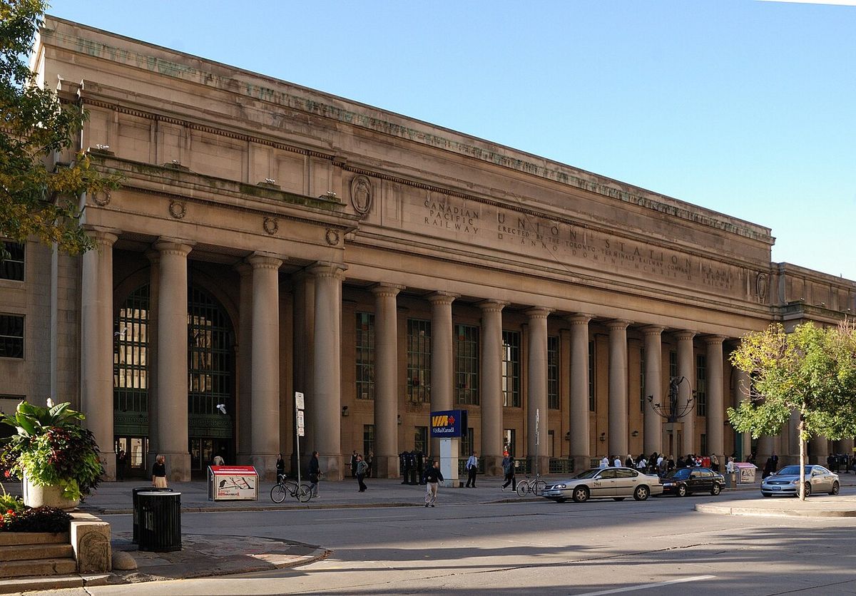
The neighbourhood is also a dining destination with notable restaurants including the MICHELIN-starred Don Alfonso 1890 at the Westin Harbour Castle, Miku Toronto for flame-seared aburi sushi, and the Amsterdam Brewhouse for casual fare and craft beer near the Rogers Centre. Retail options range from artisan shops at Queen's Quay Terminal like Cabin Barber & Gentlemen Supply to studios at Harbourfront Centre where visitors can purchase professionally made blown glass, ceramic, and textile pieces. The area's accessibility is enhanced by the 509 Harbourfront and 510 Spadina streetcars, which connect from Union Station, and the extensive Martin Goodman Trail for cyclists and pedestrians. Parking is available in private lots, but street parking is limited, and the TTC, GO Transit, and UP Express offered free service from 7 p.m. on December 31, 2025, to 8 a.m. on January 1, 2026, for the New Year's Eve celebrations.
Notable Features and Landmarks
The harbour area is defined by a blend of historic structures, modern developments, and natural spaces. Key landmarks include the Jack Layton Ferry Terminal, the primary departure point for trips to the Toronto Islands. The Gibraltar Point Lighthouse, built in 1808 on the Islands, is a historic navigation aid. The Redpath Sugar Refinery on Queen's Quay East is one of the last remaining industrial operations on the north shore. The Toronto Harbour Commission Building and the Terminal Warehouse (now Queen's Quay Terminal) are historic structures from the early 20th-century infill projects. The Queen's Wharf Lighthouse, relocated in 1929 to a site off Lake Shore Boulevard, is a remnant of the 19th-century waterfront, and the rebuilding of the Loblaws warehouse on the old Queen's Wharf site in the 2010s uncovered an old boat left in the landfill.
- Harbourfront Centre: A 10-acre campus for arts and culture at 235 Queens Quay West, phone (416) 973-4000.
- Power Plant Contemporary Art Gallery: A leading public gallery dedicated to contemporary visual art located within Harbourfront Centre.
- Sugar Beach: A urban park with pink umbrellas and a view of the Redpath refinery, located east of Jarvis Street.
- Billy Bishop Toronto City Airport: A regional airport on the Toronto Islands, accessible by ferry and a pedestrian tunnel from the mainland.
- Cherry Beach: A popular public beach on the north side of the Outer Harbour, formerly known as Clarke Beach Park.
- The Bentway: A unique public space and trail network underneath the Gardiner Expressway, which hosted a Summer 2026 season of public art and community gatherings.
- Toronto Music Garden: A garden and performance space designed in collaboration with cellist Yo-Yo Ma, hosting live classical music.
- International Marine Passenger Terminal: A cruise ship facility at the foot of Yonge Street, later used for filming the CBC drama The Border.
The proposed 37 kilometre Lake Ontario Park by Waterfront Toronto would pass through the Outer Harbour. The harbour's landscape includes recreational and cultural uses. The north shore of the Inner Harbour has a mixed range of uses including Harbourfront, which has parks and an amphitheatre. The Toronto Islands are mostly parkland.
Economic and Industrial Evolution
The economic role of Toronto Harbour has shifted dramatically from a dominant commercial port to a mixed-use recreational and cultural centre. In the 19th century, harbour dues increased by 25 percent between 1843 and 1844 alone, reflecting growing shipping activity. The harbour supported industries like the Gooderham and Worts Distillery and later served manufacturers who received raw materials by boat and shipped finished goods by rail, a system enabled by the railways' easement on the Esplanade infill. The Lachine Canal's opening in 1825 improved connections, and some cargo boats were built at Toronto Bay itself.
The decline of heavy industry and commercial shipping became evident by the time the St. Lawrence Seaway plans were announced. The Outer Harbour, built in the 1950s and 1960s in anticipation of a shipping upswing, saw its purpose never materialize. The 1970s Harbourfront project, which involved a CA$10 million federal dredging of the Eastern Gap in 1972, marked a deliberate shift toward recreational and cultural uses, expropriating industrial lands west of York Street. Today, the only major cargo facilities are the Port of Toronto terminals and the Redpath Sugar Refinery, which receives raw sugar shipments. The grain storage elevators at the east and west ends of the inner harbour have been demolished or are slated for demolition, making way for new residential and parkland developments that characterize the modern waterfront economy focused on tourism, real estate, and cultural programming.
Questions about Toronto Harbour
What is the difference between the Inner Harbour and the Outer Harbour?
The Inner Harbour is the original, sheltered bay directly fronting downtown Toronto, used for a mix of commercial shipping, ferry services, and recreational boating. It is protected by the Toronto Islands and accessed via the Western Gap and Eastern Gap channels. The Outer Harbour, developed in the mid-20th century east of the Islands, is an additional harbour created by a breakwater called the Outer Harbour East Headland. It was intended for increased shipping that never materialized and is now used almost exclusively by private pleasure boats and community sailing clubs, with Cherry Beach located along its northern shore.
How do I get to the Toronto Islands from the harbour?
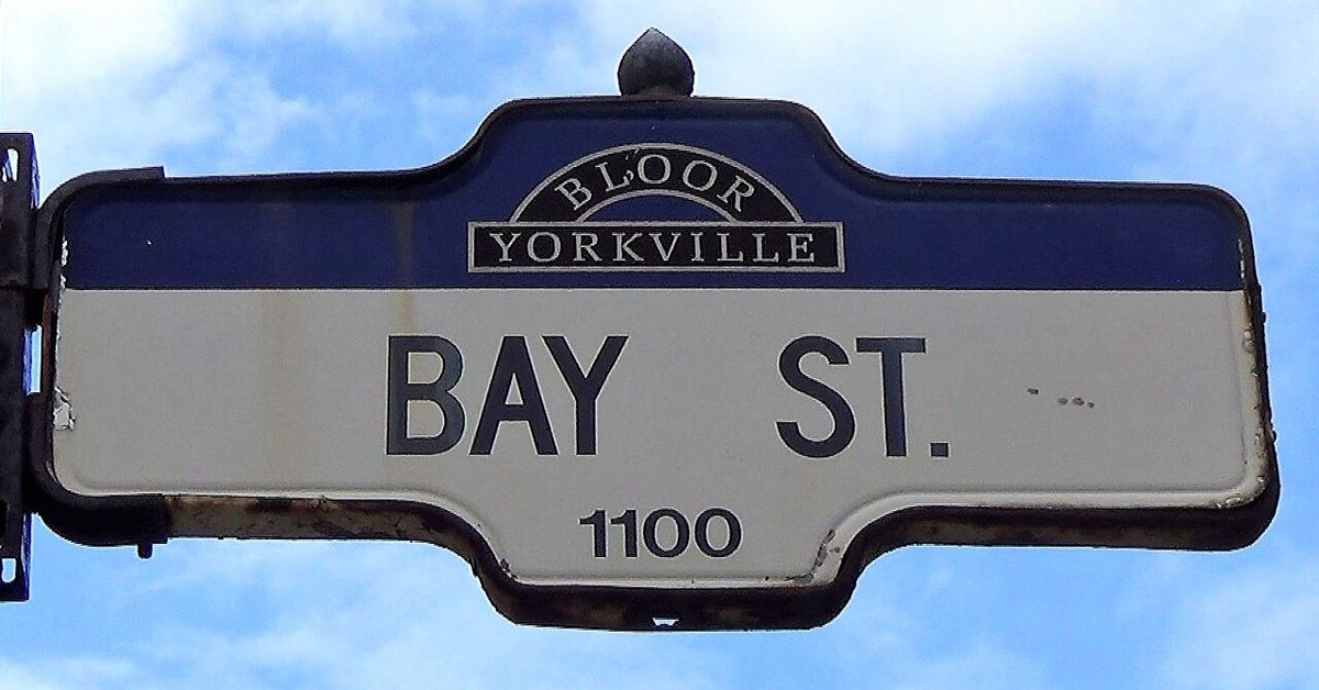
Passenger ferries to the Toronto Islands depart from the Jack Layton Ferry Terminal located at the foot of Bay Street, on the north shore of the Inner Harbour. The terminal provides service to multiple island destinations including Centre Island, Ward's Island, and Hanlan's Point. The ferry service is operated by the City of Toronto and is a popular activity, especially in the summer months. The crossing offers scenic views of the downtown skyline and the harbour itself, continuing a passenger tradition that dates back to the 1880s.
What major events happen at Toronto Harbour?
The harbour is a focal point for numerous annual events. The City of Toronto hosts a major New Year's Eve celebration with live music, dance, and a fireworks display launched from the inner harbour, which in 2026 was broadcast on the CultureTO YouTube channel. Harbourfront Centre presents year-round cultural festivals, including the Luminato Festival in June and its Winterfest with skating and a maze. The waterfront also features events like the Dance Together Festival at Sherbourne Common and the KUUMBA 365 Black Futures Month Festival. Large-scale public art installations and community gatherings are frequently held in parks and spaces along the water's edge.
What is Waterfront Toronto and what is it doing?
Waterfront Toronto is a tri-government agency established in 2001 by the City of Toronto, Province of Ontario, and Government of Canada to lead the revitalization of the city's waterfront. Its mandate is to develop complete neighbourhoods that integrate natural wildlife habitats, affordable housing, public art, and places to work and play. Major projects include the Port Lands Flood Protection and Don River naturalization, creating new parks and flood resilience, and overseeing developments like the Corleck Building revitalization and the Lassonde Art Trail. The agency focuses on creating distinctive, interconnected urban and natural environments through architecturally distinctive design and green building approaches.
Are there still industrial operations in Toronto Harbour?
Yes, although significantly reduced from its historical peak. The most prominent remaining industrial operation is the Redpath Sugar Refinery, located on Queen's Quay East, which receives raw sugar shipments by ship. The Port of Toronto, operated by PortsToronto on the eastern shore of the Inner Harbour, continues to handle cargo such as aggregates. Most other industrial lands, particularly west of Yonge Street, have been converted to residential, recreational, and cultural uses through projects like Harbourfront, and grain elevators at the harbour ends are being demolished.
What new developments opened on the waterfront in 2026?
The year 2026 saw several long-anticipated projects open. The Corleck Building was revitalized as a new arts venue for the Canada Ireland Foundation. The Lassonde Art Trail, a 4.2-kilometre open-air sculpture path, opened in Biidaasige Park in the Port Lands. Lighting improvements for the Dan Leckie Way underpass, part of The Bentway's Waterfront ReConnect project, were completed, with plans to extend lighting to the Bathurst Street underpass as a World Cup legacy project. The Sky Tower at One Yonge Street, Canada's tallest residential building at 106 storeys, opened featuring the Le Méridien Toronto Pinnacle Hotel, 958 luxury residences, and a top-floor restaurant.
Sources and further reading
- Toronto Harbour (Wikipedia)
- Waterfront Toronto: Homepage (waterfrontoronto.ca)
- Neighbourhood: Harbourfront (destinationtoronto.com)
- 7 Major Developments Opening on Toronto's Waterfront in ... (waterfrontbia.com)
Checked by the Your Space Hamilton desk. Last updated 2026-10-29.