Lake St. Clair
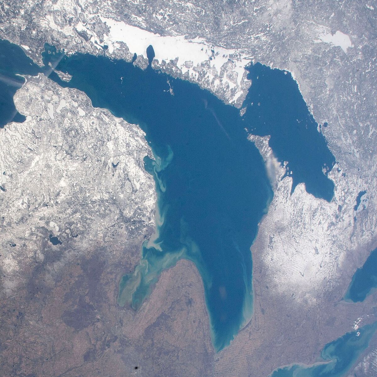
Lake St. Clair is a freshwater lake situated between the Canadian province of Ontario and the U.S. state of Michigan. It serves as a vital connecting channel within the Great Lakes system, linking Lake Huron to the north with Lake Erie to the south via the St. Clair and Detroit rivers. The lake, named by French explorers in 1679 after Saint Clare of Assisi, is notable for its large surface area relative to its exceptionally shallow depth. Its strategic location near major urban centres like Detroit and Windsor, combined with its role in commercial shipping and recreation, makes it a significant geographical and economic feature of the Canada-United States border region.
Geography and Hydrology
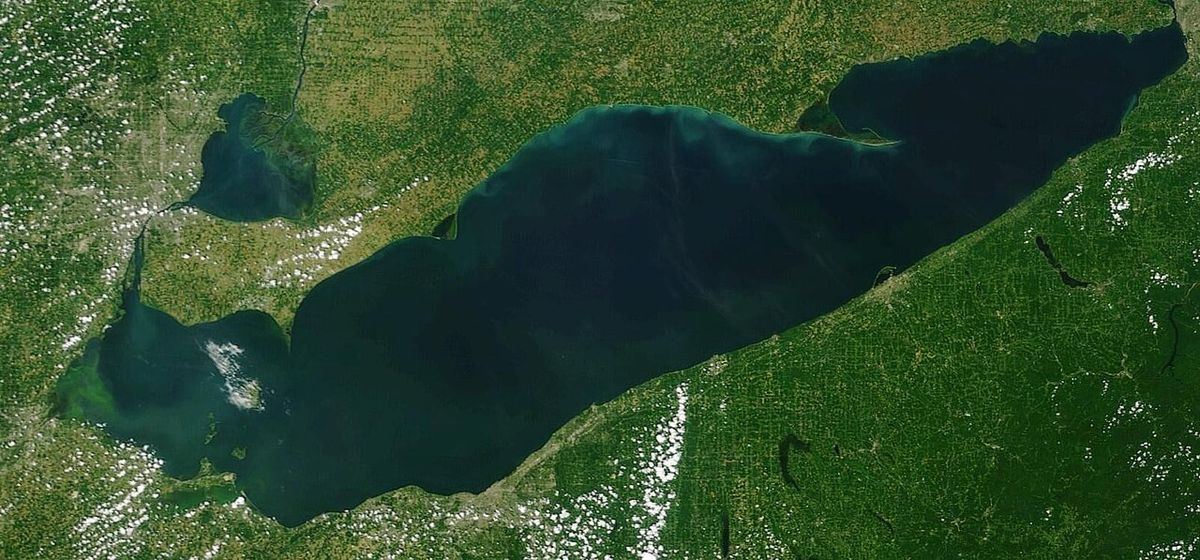
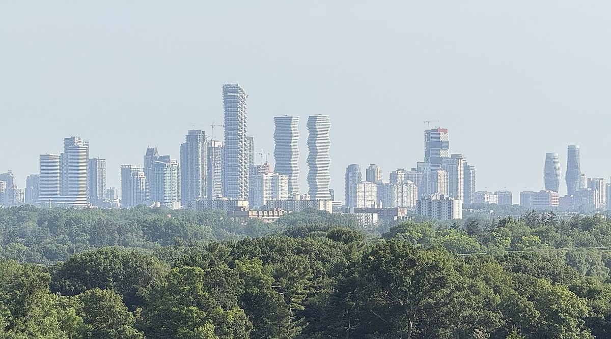
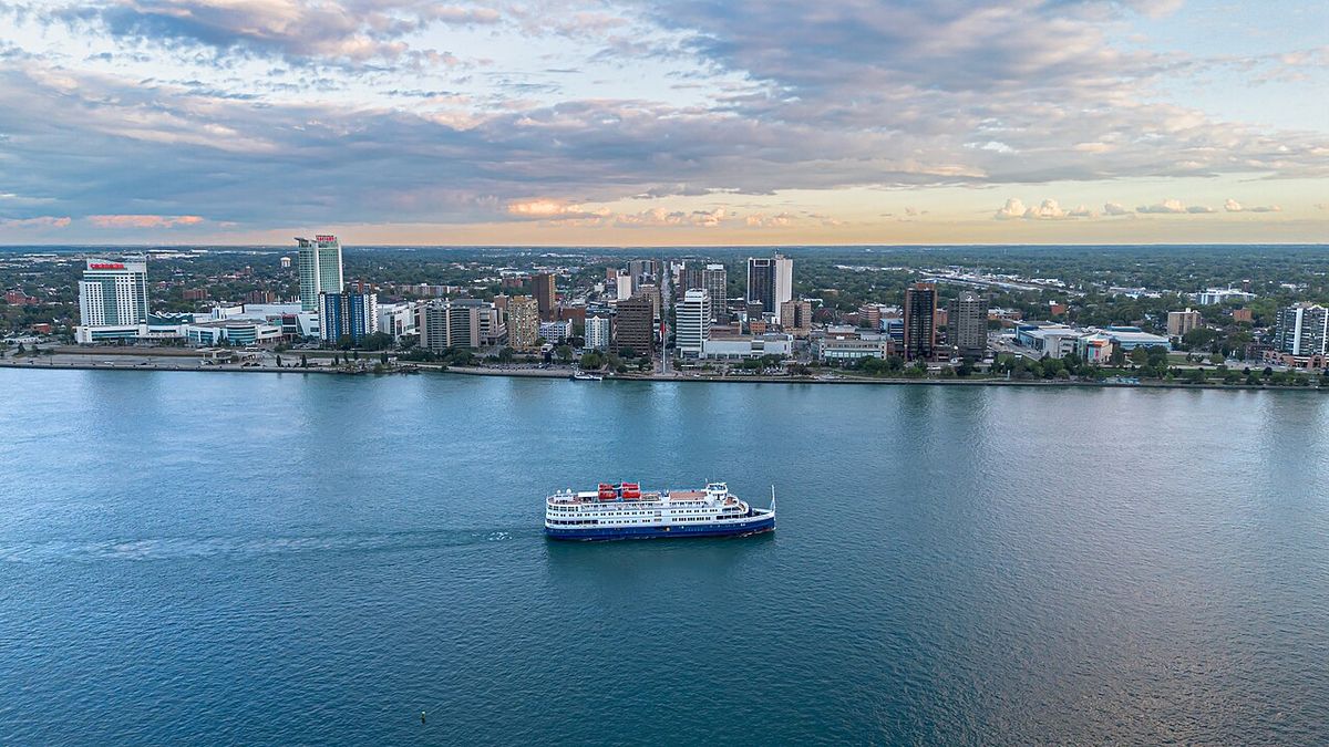
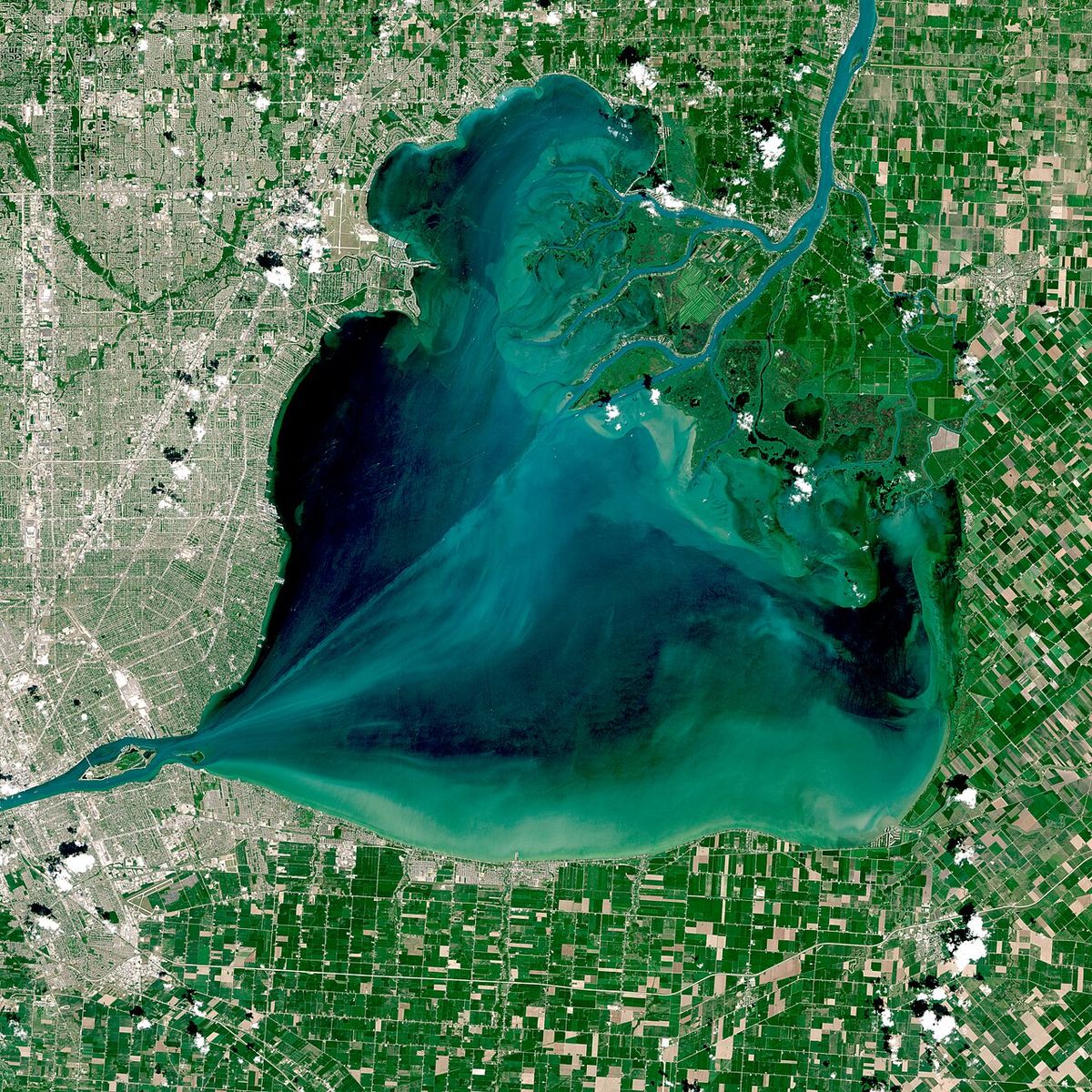
Lake St. Clair is geographically positioned approximately 10 kilometres northeast of downtown Detroit, Michigan, and Windsor, Ontario, placing the Canadian metropolitan area south of adjacent U.S. territory. The lake measures roughly 42 kilometres from north to south and 39 kilometres from east to west, covering a total surface area of about 1,100 square kilometres. Its most defining hydrological characteristic is its shallowness, with an average depth of only 3.4 metres and a maximum natural depth of 7.0 metres. To maintain a navigable passage for large lake freighters, a shipping channel dredged to a depth of 8.2 metres runs through the lake, a project maintained for over a century by binational agencies. The primary inflow is the St. Clair River from Lake Huron, which forms the largest river delta in the Great Lakes system at its entry point into Lake St. Clair. Other significant tributaries include the Thames and Sydenham rivers from Ontario and the Clinton River from Michigan, with all outflow exiting via the Detroit River at the lake's southwestern end into Lake Erie.
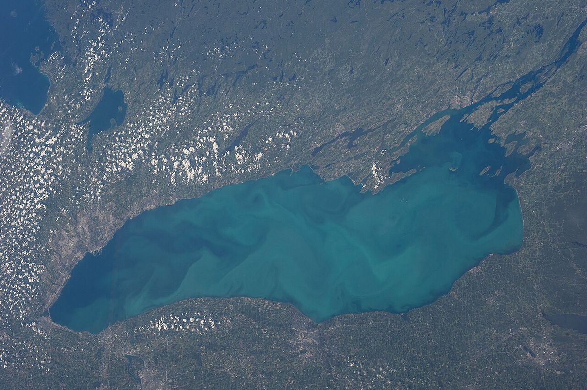
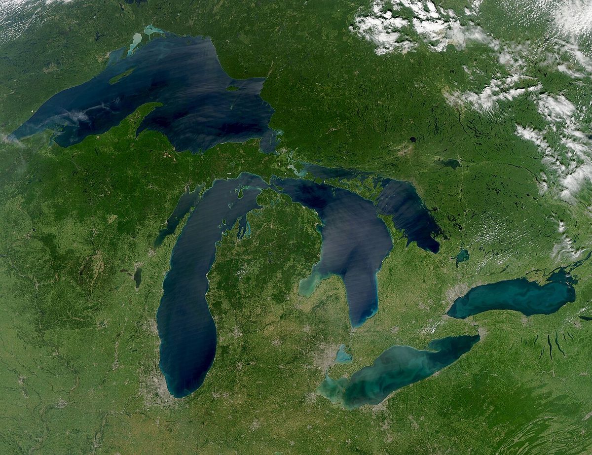
The residence time, or tarry time, of water in Lake St. Clair averages about seven days but is highly variable based on environmental conditions. Wind direction, local water circulation patterns, and the volume of water discharged from Lake Huron can cause this period to fluctuate from as little as two days to as many as thirty. Water moving specifically through the dredged navigation channel typically passes through in about two days. Although integrally connected, Lake St. Clair is not officially classified as one of the five Great Lakes, with Lake Ontario being 17 times larger by surface area and more than 80 times larger by volume. Its role as a crucial conduit has led to it being informally called the sixth Great Lake, with occasional proposals for official reclassification to potentially increase funding for research and environmental management. Some scholars note that, unlike most smaller regional lakes, 'Lake' comes at the front of its name, a reflection of its French origins similar to the naming convention for the Great Lakes.
History and Toponymy
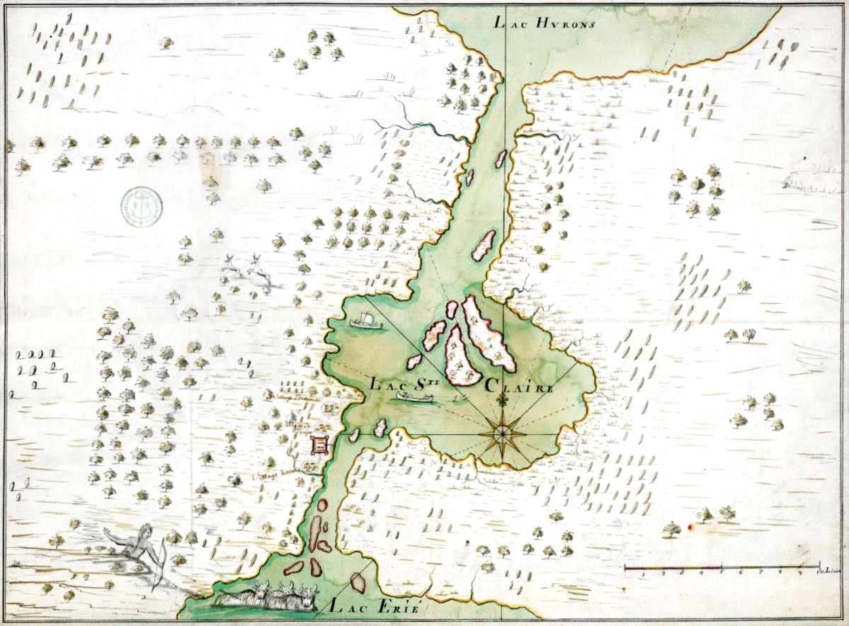
Human activity around Lake St. Clair dates back millennia, with archaeological evidence such as the Crawford Knoll Site on the St. Clair River delta revealing bone and projectile points from 1500 to 1000 BCE, indicating seasonal use by Indigenous peoples. First Nations used the lake extensively for navigation, with the Mississauga calling it Waawiyaataan(ong), meaning 'at the whirlpool'. By the latter part of the 17th century, the Mississauga had established a village near the lake. Early European mapmakers recorded a variety of names for the lake, many from Iroquoian languages and often associated with sweetness or freshwater, such as Otsiketa (sugar or candy). French maps reflected this with names like Mer Douce, or sweet sea, and the Dutch used the Latin term Mare Dulce.
The lake received its current European name on 12 August 1679, when French explorer René Robert Cavelier, Sieur de La Salle, arrived with an expedition. Noting they had sighted the lake on the feast day of Saint Clare of Assisi, La Salle named it Lac Sainte-Claire. The expedition's historian, Louis Hennepin, recorded that local Iroquoian tribes referred to it as Otseketa. English mapmakers adopted the French name by 1710, and by 1755, the spelling had shortened to 'St. Clair' on the Mitchell Map. While some later attributed the name to American General Arthur St. Clair or British officer Patrick Sinclair, the name Lake St. Clair was in use with this spelling long before either man rose to prominence. The name subsequently influenced the designation of numerous nearby political jurisdictions in Michigan, including St. Clair County, St. Clair Township, and the cities of St. Clair and St. Clair Shores. Patrick Sinclair built Fort Sinclair on the St. Clair River in 1764, a post used for nearly twenty years, which also contributed to the proliferation of the name in the region.
Environmental Management and Water Quality
Lake St. Clair's water quality is significantly influenced by its position downstream from the St. Clair River delta, the largest freshwater delta in the Great Lakes, which affects its turbidity and sediment load. Despite this, current water quality is generally considered good, a notable recovery from past environmental incidents. The lake and the rivers just downstream from it serve as a drinking water source for several municipalities, leading to consistent and close monitoring by Canadian and American authorities. A major historical contamination event occurred due to industrial activity at the Dow Chemical Chlor-Alkali Plant in Sarnia, Ontario, which operated mercury cell plants from 1949 onward for the production of chlorine and other chemicals.
Through its production processes, the plant discharged mercury into the St. Clair River, leading to bio-accumulation in fish. This contamination prompted the governments of Canada and the United States to close the lake's commercial fishery in the early 1970s. Although subsequent studies have confirmed that mercury levels in the lake are now well within safe ranges, the commercial fishery has never been reopened. Sport fishing, however, remains a popular activity on the lake. Both governments continue to monitor contaminant levels and publish consumption guides for sport fish to ensure public health and safety, reflecting an ongoing commitment to managing the lake's ecosystem. The lake's clarity, or turbidity, remains variable due to the large sediment load from the delta, but overall water quality supports diverse aquatic life and recreational use.
Recreation and Shoreline Communities
The shores of Lake St. Clair are dotted with numerous communities, parks, and recreational facilities that highlight its importance for leisure and residential life. The lake's proximity to major urban centres like Detroit and Windsor makes it a popular destination for boating, fishing, and beachgoing. Public beaches provide access for swimming and sunbathing, with notable examples including Sandpoint Beach in Windsor, Mitchell's Bay Beach in Ontario, and New Baltimore Beach and Lake St Clair Metropark in Michigan. These beaches serve as important public amenities for residents and visitors on both sides of the border. Other public beaches include Marine City Beach in Michigan, Belle Isle Beach on Belle Isle, Michigan, and Lakeview Park West Beach in Belle River, Ontario.
The lake has an active boating culture, supported by a high concentration of yacht and sailing clubs along its coastline. These clubs are social and recreational hubs for the boating community. Key boating organizations on the lake include the Windsor Yacht Club, Grosse Pointe Yacht Club, and The Great Lakes Yacht Club. The St. Clair Sail Club, Southport Sailing Club, and Lake St. Clair Powerboat Club also host many activities. Other clubs such as North Channel Yacht Club, Thames River Yacht Club, Albatross Yacht Club, and Windmill Pointe Yacht Club contribute to the network. Crescent Sail Yacht Club, The Old Club, Clinton River Boat Club, and North Star Sail Club are located on the lake's delta and tributaries. This network of clubs facilitates a wide range of sailing and powerboating activities, from casual cruising to organized races, cementing the lake's status as a premier freshwater boating destination in the Great Lakes region.
Economic and Navigational Significance
Lake St. Clair holds considerable economic importance primarily due to its role in the Great Lakes-St. Lawrence Seaway navigation system. The dredged shipping channel, maintained at a depth of 8.2 metres by the U.S. Army Corps of Engineers, is a critical artery for lake freighters carrying bulk commodities like iron ore, coal, and grain between the upper and lower lakes. This engineered waterway ensures an uninterrupted, deep-draft route that bypasses the lake's naturally shallow basin, supporting continental trade and industry. The channel's existence for more than a century demonstrates the long-standing binational cooperation in managing this shared resource, with government agencies in both countries responsible for its maintenance.
Beyond shipping, the lake supports a substantial recreational economy centred on boating, marinas, fishing charters, and waterfront tourism. The closure of the commercial fishery in the 1970s shifted economic focus toward these sustainable recreational uses. The lake's ecosystem services are vital, including its function in water conveyance, flood moderation, and as a source for municipal water supplies. The combination of its navigational utility, recreational value, and ecological role makes Lake St. Clair an economically important body of water integral to the regional character of southeastern Michigan and southwestern Ontario. Proposals to have the lake officially recognized as a Great Lake are partly motivated by the potential to attract greater public funding for scientific research and environmental projects that would benefit these economic and ecological functions.
Indigenous and Early European Context
Long before European contact, the Lake St. Clair region was utilized by Indigenous peoples who were part of an extensive navigation network across the Great Lakes. The Mississauga name Waawiyaataan(ong) and the Wea name Waayaahtanonki both relate to the concept of a whirlpool, indicating specific geographical knowledge. Early French mapmakers documented a variety of names from their interactions with Iroquoian-speaking nations, including Lac des Eaux de Mer (Seawater Lake) and Lac Ganatchio, which translated to 'kettle' in French as Lac de la Chaudière, likely a reference to the lake's shape. The frequent association of the lake's Indigenous names with sweetness, such as Oiatinatchiketo and Oiatinonchikebo, directly contrasted freshwater with saltwater, a concept also applied by the Iroquois to Lake Huron, which they called 'The Grand Lake of the Sweet Sea'.
This Indigenous perspective was directly recorded by European explorers like Louis Hennepin. The French practice of naming the lake Mer Douce perfectly captured this Indigenous understanding in a European cartographic tradition. The subsequent history of European naming, from Lac Sainte-Claire to the anglicized St. Clair, overlays but does not erase this deep Indigenous history of the lake as a named, known, and utilized feature within a vast inland waterway system. The archaeological record from sites like Crawford Knoll confirms this long-standing relationship, showing seasonal use of the area for over three millennia before the arrival of La Salle's expedition.
Questions about Lake St. Clair
Is Lake St. Clair considered one of the Great Lakes?
Lake St. Clair is part of the Great Lakes system but is not officially counted as one of the five Great Lakes. It is a connecting channel between Lake Huron and Lake Erie. Due to its importance, it is sometimes informally called the sixth Great Lake. Lake Ontario, the smallest of the five, is 17 times larger than Lake St. Clair by surface area and more than 80 times larger by volume.
Why is Lake St. Clair so shallow?
Lake St. Clair is naturally a very shallow basin with an average depth of only 11 feet and a maximum natural depth of 23 feet. Its large surface area of about 430 square miles spreads over a relatively flat bottom. To accommodate deep draft commercial shipping, a navigation channel has been dredged and maintained through the lake for more than a century. This channel is 27 feet deep in the area maintained for lake freighter passage.
Can you eat fish from Lake St. Clair?
Sport fishing remains popular in Lake St. Clair. The commercial fishery was closed in the early 1970s due to concerns about bio accumulation of mercury from historical industrial discharges. The contamination originated from the Dow Chemical Chlor Alkali Plant in Sarnia, Ontario. Government agencies in both Canada and the United States continue to monitor water quality and contaminant levels. They publish guides for sport fish consumption to inform the public about safe eating practices.
What is the origin of the name Lake St. Clair?
The lake was named Lac Sainte-Claire by French explorer René Robert Cavelier, Sieur de La Salle on 12 August 1679. He chose the name because his expedition first saw the lake on the feast day of Saint Clare of Assisi. The English later adopted and shortened the name to St. Clair. This naming occurred long before American General Arthur St. Clair or British officer Patrick Sinclair were prominent, though their names later influenced nearby place names like St. Clair County and Fort Sinclair.
What major rivers flow into Lake St. Clair?
Several significant rivers feed Lake St. Clair. The primary inflow is the St. Clair River, which carries water south from Lake Huron and forms a large delta where it enters the lake. Other contributing rivers include the Thames River and Sydenham River, which originate in Southwestern Ontario, and the Clinton River, which flows from Michigan. All outflow leaves via the Detroit River at the lake's southwestern end.
Are there public beaches on Lake St. Clair?
Yes, there are numerous public beaches on both the Canadian and American shores of Lake St. Clair. On the Ontario side, these include Mitchell's Bay Beach, Sandpoint Beach in Windsor, and Lakeview Park West Beach in Belle River. On the Michigan side, popular beaches are New Baltimore Beach, Marine City Beach, Belle Isle Beach, and Lake St Clair Metropark in Harrison Township. The lake's location near major urban centres like Detroit and Windsor makes these beaches accessible recreational areas. Its shallow average depth of about 11 feet contributes to conditions suitable for beach activities. The presence of these public spaces highlights the lake's importance for local community leisure alongside its primary role as a shipping corridor connecting Lake Huron and Lake Erie.
Sources and further reading
- Lake St. Clair (Wikipedia)
- Lake St. Clair Metropark (metroparks.com)
- Categories Camping & RV Parks Lake St. Clair (lakestclairguide.com)
- Lake St Clair Park Centre (lakestclairpark.com.au)
Checked by the Your Space Hamilton desk. Last updated 2026-10-21.