Sault Ste. Marie International Bridge
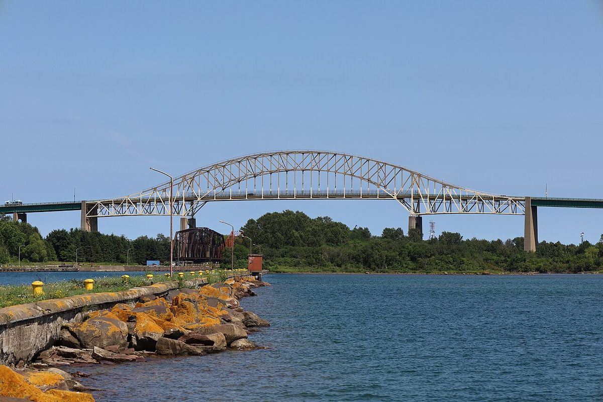
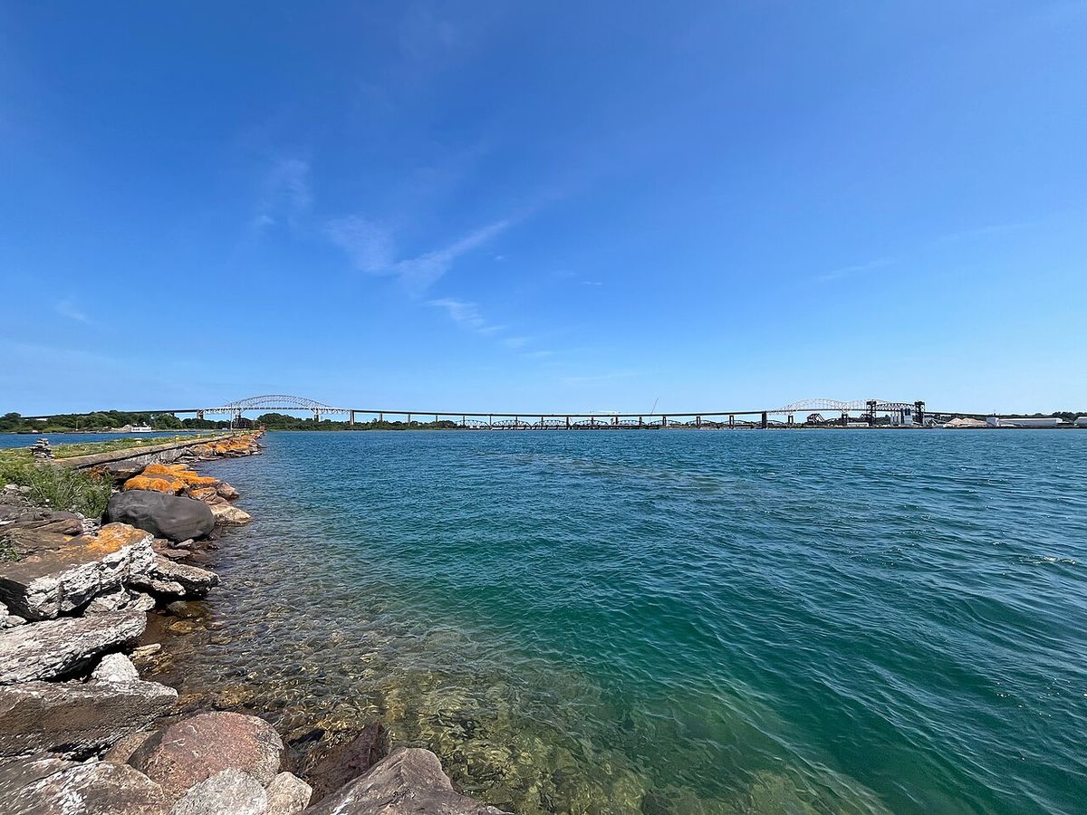
The Sault Ste. Marie International Bridge is a vital steel truss arch bridge spanning the St. Marys River, connecting the twin cities of Sault Ste. Marie, Michigan, and Sault Ste. Marie, Ontario. As a key international border crossing, it serves as the northern terminus of Interstate 75 and is a crucial economic and transportation link between the United States and Canada. Operated by a bi-national authority, the bridge is the tenth-busiest passenger crossing on the Canada-United States border and the only fixed vehicle crossing for several hundred miles in the region. Its completion in 1962 replaced ferry service and continues to facilitate trade, tourism, and community connections between the two nations.
Design and Structure
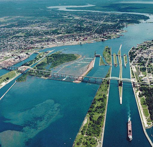
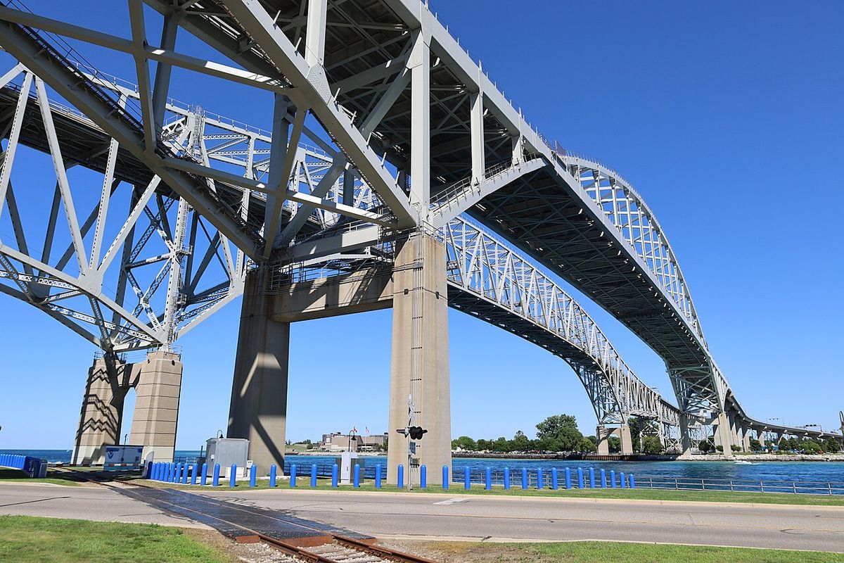
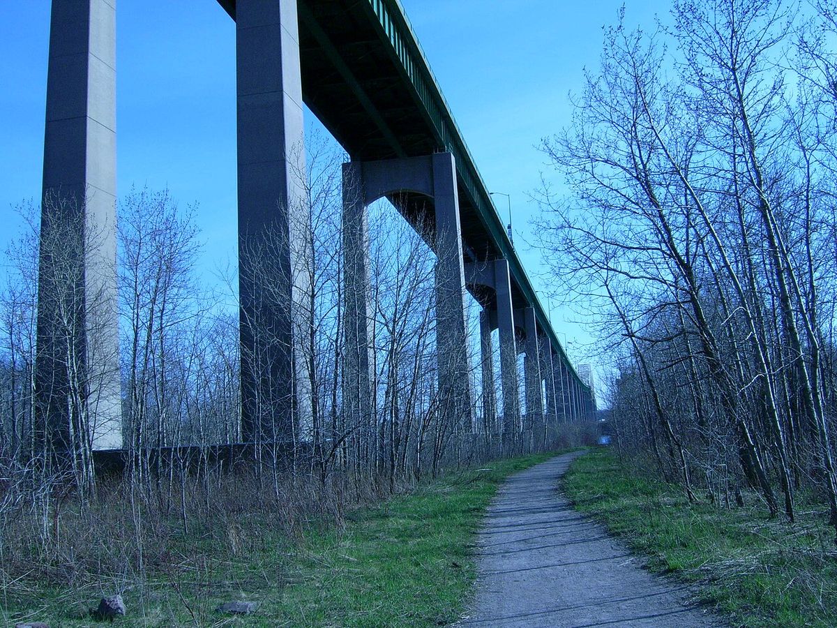
The Sault Ste. Marie International Bridge is a complex steel truss arch structure featuring a suspended deck. Its design incorporates two distinct main spans to accommodate the geography and lock systems below. A double-arch span is located on the United States side, crossing directly over the four parallel chambers of the U.S. Soo Locks. On the Canadian side, a single-arch span crosses the single Canadian Lock. These arch spans are connected by a long causeway, bringing the total length of the bridge and its approaches to approximately 2.8 miles or 4.5 kilometres. The bridge's northern terminus in Sault Ste. Marie, Ontario, is at Huron Street within the city's downtown core, a location that has influenced subsequent traffic management projects. The structure also serves as the northern endpoint for U.S. Bicycle Route 35, accommodating non-motorized travel alongside its primary vehicular function.
Historical Context and Construction
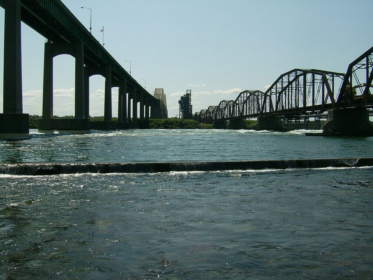
The need for a fixed crossing grew from longstanding ferry service that began in 1865, with border inspection services at ferry terminals dating to the early 1900s. The state of Michigan established the International Bridge Authority in 1954, and Canada followed in 1955 by creating the St. Mary's River Company. Construction on the bridge itself began in 1960, with major contractors including Massman Construction Co. of Kansas City, Missouri, and Bethlehem Steel of Bethlehem, Pennsylvania. The bridge was officially opened to traffic on October 31, 1962, permanently ending the ferry service that had operated since 1865. The adjacent Sault Ste. Marie International Railroad Bridge, a fixed rail crossing, had been in operation since 1887, but the 1962 opening provided the first dedicated road link between the two cities.
Governance and Operation
The bridge is operated under a unique bi-national framework designed to manage a critical international asset. Daily operations are carried out by the International Bridge Administration (IBA). This administration works under the supervision of the Sault Ste. Marie Bridge Authority (SSMBA), which is the current bi-national governing body. The SSMBA, established in 2009, consists of eight directors, with four appointed by the governor of Michigan and four appointed by the Canadian government-owned Federal Bridge Corporation. This authority replaced the previous Joint International Bridge Authority (JIBA), which had been formed in 2000. The original governing body, the International Bridge Authority, was created in 1935, illustrating the long planning history for the crossing. Both the U.S. and Canadian border stations at the bridge are open 24 hours a day, facilitating continuous cross-border movement.
Modernization and Plaza Projects
Since its opening, the bridge and its associated plazas have undergone significant upgrades to meet growing traffic demands and safety standards. A major concern was the bridge's terminus at Huron Street in downtown Sault Ste. Marie, Ontario, which mixed heavy truck traffic with city streets. In response, the Ontario government announced a dedicated truck bypass route in June 2005. This route, named Carmen's Way in memory of former federal Member of Parliament Carmen Provenzano, connects the bridge to Highway 17 in the city's north end and was officially opened in September 2006. Following this, construction began in 2009 to expand and modernize the entire Canadian bridge plaza. This project included a larger Canada Border Services Agency building with improved truck inspection facilities and a dedicated route to channel trucks directly onto Carmen's Way. On the American side, a project to completely rebuild the toll plaza and border crossing facility began in May 2014 to better accommodate truck traffic and increase capacity, with completion achieved on October 21, 2015.
Traffic and Milestones
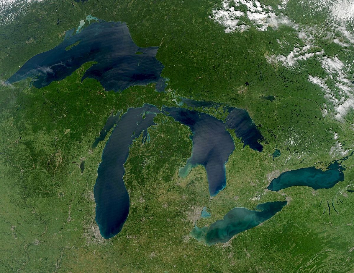
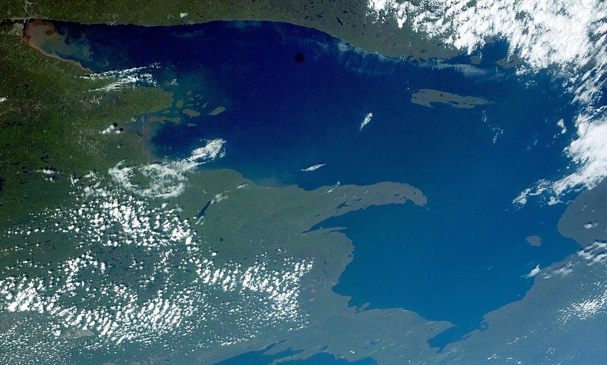
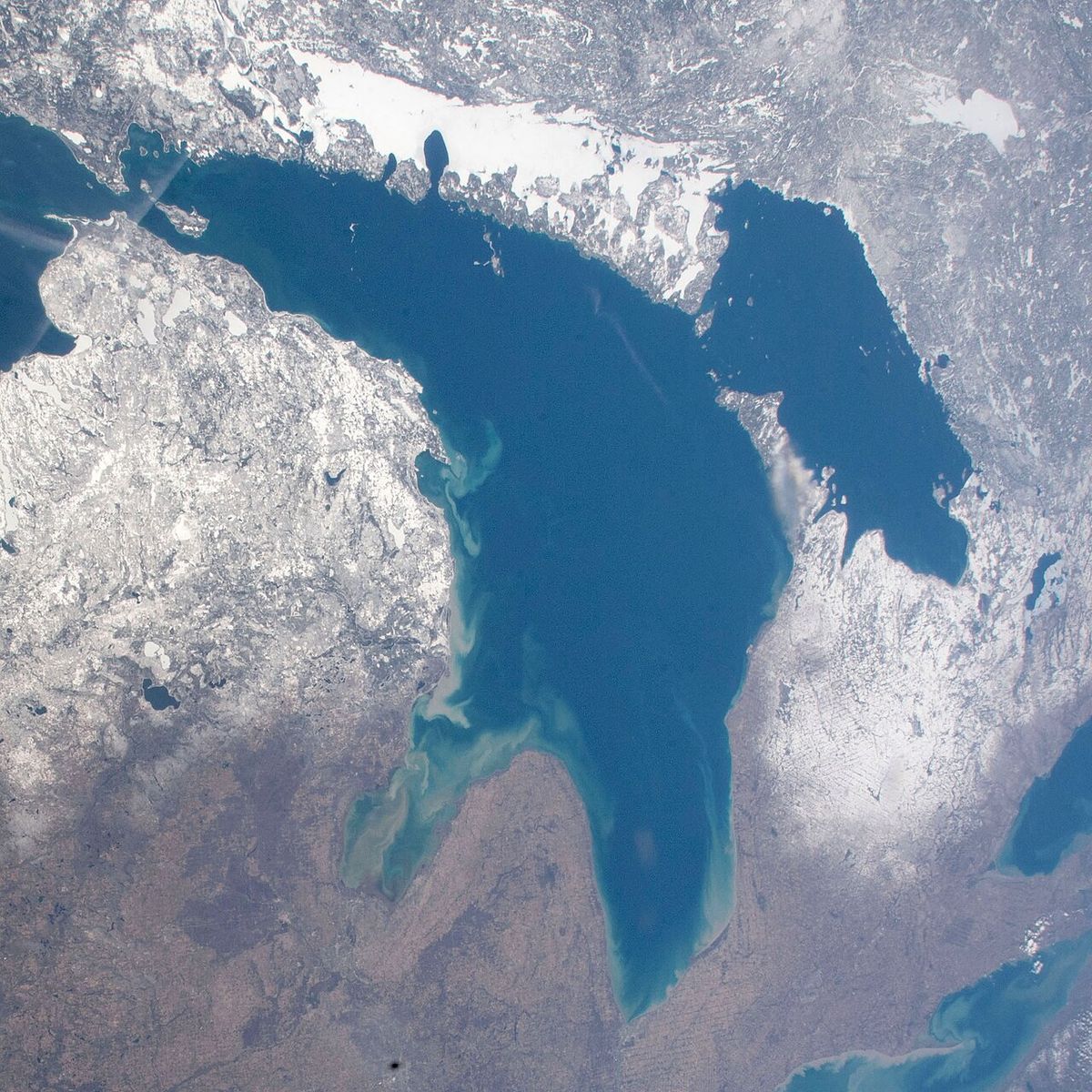
The Sault Ste. Marie International Bridge is a critically important and busy crossing. As of 2015, it was ranked as the tenth-busiest passenger crossing on the entire Canada-United States border. It and the companion rail bridge are the only fixed crossings for several hundred miles in either direction, with the next nearest vehicle crossings being the Pigeon River Bridge at the western end of Lake Superior and the Blue Water Bridge at the southern end of Lake Huron. Traffic volume continued to grow, with the 100 millionth crossing recorded on March 1, 2018. Prior to the COVID-19 pandemic, a dedicated bridge bus service operated by the CLM Community Action Agency of Sault Ste. Marie, Michigan, provided hourly crossings on weekdays, connecting downtown areas, Lake Superior State University, and the Station Mall. This service ceased in March 2020 at the onset of border restrictions.
Annual International Bridge Walk
A beloved community tradition is the annual International Bridge Walk, which has been held every year since 1987. The event takes place on the last Saturday in June, with the 36th walk scheduled for June 27, 2026. Participants gather on the Michigan side and walk at an easy pace across the bridge to Ontario, enjoying spectacular views of the twin cities, the St. Marys River rapids, and the Soo Locks. The walk steps off at 9:00 AM, and the bridge is closed to all vehicle traffic from approximately 8:45 AM until 10:45 AM for the event. There is no admission fee to participate. The walk is sponsored by the International Bridge Authority and the Chambers of Commerce from both cities. All participants must carry appropriate passport or Western Hemisphere Travel Initiative-compliant identification, and those 15 and younger must be accompanied by an adult with a birth certificate. For safety, no animals except service dogs, and no rollerblades, skateboards, or similar items are permitted. Participants are asked to bring a minimum amount of items to carry, and only umbrella strollers are allowed on the walk.
Key details for participants include parking at the Arts Center at Lake Superior State University on the Michigan side. An optional shuttle bus is available for a fee from the Marconi Club in Ontario to the starting point or to return walkers to vehicles left at the Norris Center. The event emphasizes community, accessibility, and celebrating the unique bi-national connection the bridge represents, requiring all walkers to have proper identification for border officials. Organizers provide detailed information on approved identification documents through the International Bridge Authority and local Chamber of Commerce resources.
- Date: Last Saturday in June (e.g., June 27, 2026).
- Start Time: 9:00 AM, with bridge closure from 8:45 AM.
- Parking: Available at the Arts Center at Lake Superior State University on the Michigan side.
- Bus Service: Optional shuttle bus available for a fee from the Marconi Club in Ontario to the start or back to vehicles.
- Identification: Passport or approved WHTI document required for all participants.
- Sponsors: International Bridge Authority and local Chambers of Commerce.
Strategic and Economic Role
The bridge occupies a position of immense strategic importance for regional and binational trade and transportation. As the northern terminus of Interstate 75, it connects a major American highway artery directly into the Canadian highway network via Ontario's Highway 17. This makes it a key conduit for commercial trucking and tourism traffic moving between the industrial and population centres of the American Midwest and central Canada. The bridge's status as the only fixed road crossing in the upper Great Lakes region means it handles all vehicle traffic that cannot be routed via ferry or distant alternate crossings. The governing Sault Ste. Marie Bridge Authority outlines its strategic direction in formal documents such as its Business Plan for 2026 to 2030. The continuous operation of the border stations and ongoing infrastructure investments, like the modernized plazas, highlight its permanent role as a critical piece of continental infrastructure facilitating billions of dollars in cross-border commerce annually. The bridge's operation is central to the economic vitality of both Sault Ste. Marie communities and the broader Great Lakes region.
Questions about Sault Ste. Marie International Bridge
When was the Sault Ste. Marie International Bridge built?
Construction on the Sault Ste. Marie International Bridge began in 1960. The bridge was officially opened to traffic on October 31, 1962, replacing the ferry service that had operated since 1865. Major contractors for the project included Massman Construction Co. and Bethlehem Steel. The bridge's opening provided the first dedicated road connection between Sault Ste. Marie, Michigan, and Sault Ste. Marie, Ontario.
How long is the International Bridge and what does it connect?
The Sault Ste. Marie International Bridge has a total length, including its approaches, of approximately 2.8 miles or 4.5 kilometres. It spans the St. Marys River, connecting the twin cities of Sault Ste. Marie, Michigan, in the United States and Sault Ste. Marie, Ontario, in Canada. The bridge serves as the northern terminus of Interstate 75 (I-75) and also as the northern end of U.S. Bicycle Route 35.
Who operates the Sault Ste. Marie International Bridge?
The bridge is operated by the International Bridge Administration (IBA) under the direction of the Sault Ste. Marie Bridge Authority (SSMBA). The SSMBA is a bi-national governing body established in 2009, consisting of eight directors. Four directors are appointed by the governor of Michigan, and four are appointed by the Canadian government-owned Federal Bridge Corporation. This structure ensures joint management of the critical international asset.
What is the International Bridge Walk?
The International Bridge Walk is an annual community event where participants walk across the closed bridge from Michigan to Ontario. It has been held every year since 1987 on the last Saturday in June. The walk provides scenic views and celebrates the binational connection. The 36th walk is scheduled for June 27, 2026. Participants must bring valid passport or WHTI-compliant identification, and the event is free of charge.
Are there tolls to cross the International Bridge?
The Sault Ste. Marie International Bridge is a tolled crossing. Toll collection occurs at plazas on the approach to the bridge. The revenues support the operation, maintenance, and improvement of the bridge and its facilities. Both the U.S. and Canadian border stations at the bridge are open 24 hours a day. Detailed toll rates and payment methods are available through the International Bridge Administration.
How busy is the Sault Ste. Marie International Bridge?
The Sault Ste. Marie International Bridge is the tenth busiest passenger crossing on the Canada United States border as of 2015. It reached its 10 millionth crossing in 1975 and its 100 millionth crossing on March 1, 2018. This bridge and the companion rail bridge are the only fixed crossings for several hundred miles in either direction. The next nearest road crossings are the Pigeon River Bridge beyond the far end of Lake Superior and the Blue Water Bridge beyond the far end of Lake Huron. The bridge serves as a critical transportation link between the twin cities of Sault Ste. Marie, Michigan, and Sault Ste. Marie, Ontario. Daily operation is carried out by the International Bridge Administration under the supervision of the Sault Ste. Marie Bridge Authority.
Sources and further reading
- Sault Ste. Marie International Bridge (Wikipedia)
- International Bridge Walk (saultstemarie.com)
Checked by the Your Space Hamilton desk. Last updated 2026-10-30.