Barrie
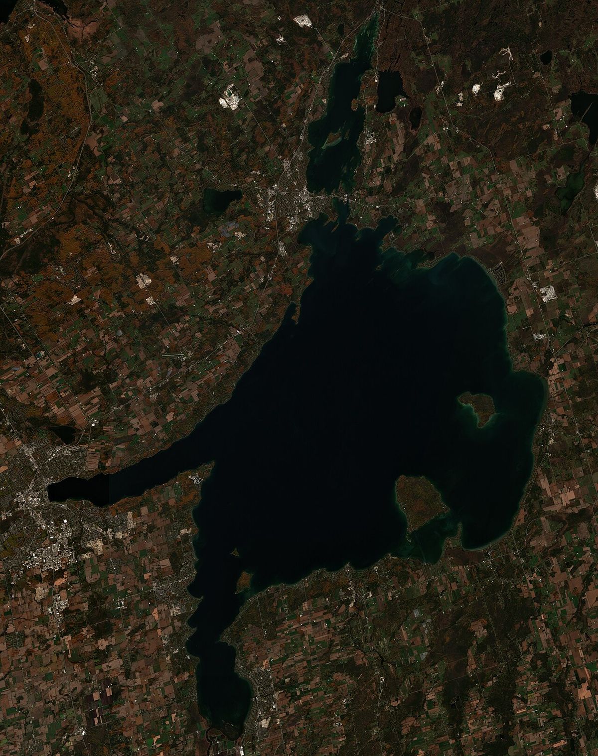
Barrie is a city in Central Ontario, Canada, situated on the shores of Kempenfelt Bay approximately 90 kilometres north of Toronto. Politically independent from the surrounding Simcoe County, it is a single-tier municipality and a key component of the Greater Golden Horseshoe urban region. With a population of 147,829 as of the 2021 census, Barrie has experienced significant growth in recent decades, evolving from its origins as a British military supply depot during the War of 1812 into a diversified economic centre. The city is a major transportation hub connected to southern Ontario by Highway 400 and GO Transit rail service, and it is historically notable as one of the centres of the devastating 1985 tornado outbreak.
Founding and 19th Century Development
The history of Barrie is deeply rooted in the indigenous Nine Mile Portage, a centuries-old transportation route linking Kempenfelt Bay through Willow Creek to the Nottawasaga River and Georgian Bay. During the War of 1812, the British military established a supply depot at the foot of this portage, adopting it as a key supply line for moving personnel and equipment between Fort Willow and Lake Huron. In 1815 and 1818, Treaties 16 and 18 transferred vast tracts of land from the Chippewa people to the colonial government, facilitating further European settlement. The settlement was formally named Barrie in 1833 in honour of Sir Robert Barrie, a British naval commander who frequently used the route. By 1846, the community had a population of about 500, with a courthouse, jail, three churches, and various small businesses including tanneries, shoemakers, and taverns.
Railway development in the 1850s catalysed Barrie's growth as a commercial and administrative centre. The Northern Railway line opened in 1853, connecting Barrie to Toronto and other Simcoe County and Muskoka communities. The Hamilton and North-Western Railway also ran through the city, with the primary station being Allandale Station. These lines later consolidated into the Northern and North Western Railway in 1879, and were eventually absorbed by the Grand Trunk Railway in 1888, becoming part of the Canadian National Railway network. Steamships also operated from Barrie to destinations like Orillia and the Muskoka Territory throughout this period. Barrie became the county seat of Simcoe County in 1869, and by that time its population exceeded 3,000 people. The latter half of the 19th century was marked by a series of destructive fires that repeatedly devastated the downtown's wooden buildings, earning Barrie a reputation as one of the best burning towns in Canada. A major fire in mid-1875 destroyed around 20 businesses in a block bounded by Dunlop, Collier, Clapperton, and Owen Streets.
- 1812: British establish a supply depot at the Nine Mile Portage.
- 1833: Settlement named after Sir Robert Barrie.
- 1853: Northern Railway line connects Barrie to Toronto.
- 1867: One of the original Canadian Bank of Commerce branches opens.
- 1869: Barrie becomes Simcoe County seat. Anderton Brewery established.
- Mid-1875: Major fire destroys a city block north of Dunlop Street.
- 1879: Northern and North Western Railway formed.
- 1888: Grand Trunk Railway purchases the Northern Railway.
20th Century Transformation and Disasters
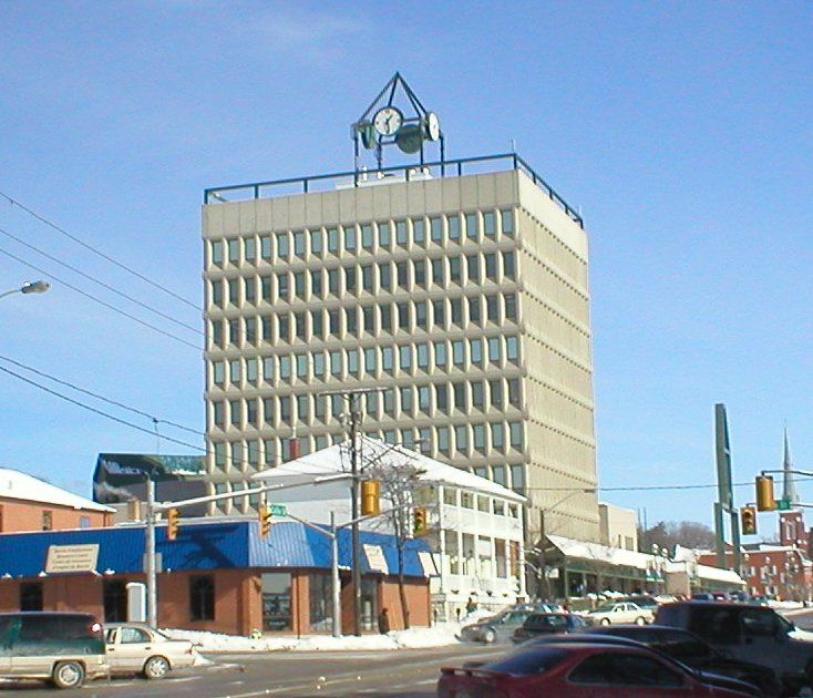
The early 20th century involved a substantial rebuilding of Barrie's downtown core following the fires of the previous era. Landmarks like the Queen's Hotel, which burned in 1915, and major employers like the Sevigny Carriage Shop and the Anderton Brewery, destroyed in 1916, were lost during this period. During the First World War, local residents helped construct Canadian Forces Base Borden, which opened on July 11, 1916, and trained approximately 350,000 troops. In the Second World War, the Royal Canadian Navy honoured the city by naming a Flower-class corvette HMCS Barrie. The city's modern growth surge began in the 1980s, with the population tripling from 38,423 in 1981 to 128,430 by 2006, driven by its emergence as a bedroom community for Toronto. This period saw the start of high-density waterfront condo developments and the construction of a new Barrie City Hall in October 1985.
Barrie was the site of several significant disasters in the 20th century. On September 7, 1977, a private aircraft owned by Falconbridge Nickel Mines Ltd struck the 1,000-foot transmitter tower for CKVR television station in dense fog, killing all five people aboard and destroying the tower and an auxiliary tower. The station returned to air on September 19 at reduced power until a new tower was built in 1978. The most devastating event was the F4 tornado that struck on May 31, 1985, as part of the United States-Canada tornado outbreak. The tornado killed eight people, injured about 155, and damaged or destroyed over 600 homes, with one-third rendered uninhabitable, causing an estimated $150 million in damage. In 1987, the sculpture Spirit Catcher by Ron Baird was moved from Expo 86 in Vancouver and permanently installed on the Kempenfelt Bay waterfront, becoming a major local landmark.
| Event | Date | Key Impact |
|---|---|---|
| CFB Borden Opens | July 11, 1916 | Became largest Canadian Forces Base, trained 350,000 troops in WWI. |
| CKVR Tower Crash | Sept 7, 1977 | Five fatalities, destruction of main and auxiliary broadcast towers. |
| F4 Tornado | May 31, 1985 | 8 dead, 155 injured, 600+ homes damaged, $150M in damage. |
| Spirit Catcher Installed | June 12-13, 1987 | Sculpture moved from Expo 86 to Barrie waterfront. |
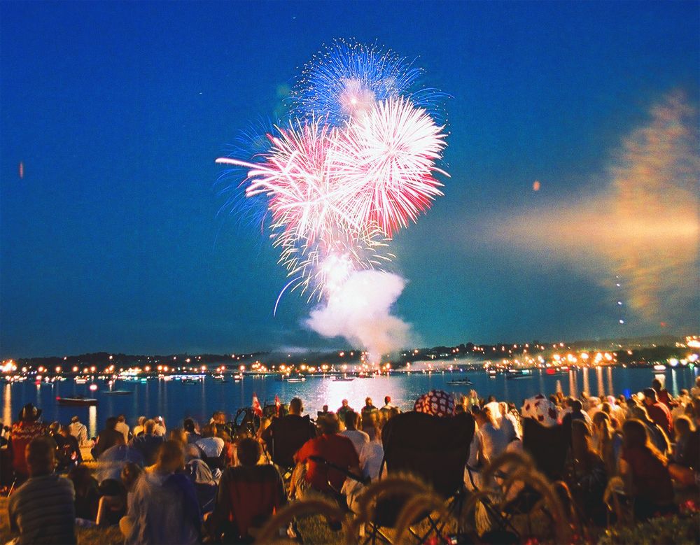
| Live 8 Canada Concert | July 2, 2005 | Held at Park Place, supported commercial redevelopment plans. |
21st Century Growth and Recent Events
The 21st century has been defined by continued rapid population growth, major land annexations, and significant redevelopment projects. On January 1, 2010, Barrie annexed 2,293 hectares of land from the Town of Innisfil to the south and southeast, expanding its boundaries beyond McKay Road. A second major annexation occurred on January 1, 2026, when the city added 1,769 hectares from Springwater Township to the north, west, and east. These annexations are part of the city's status as a provincially designated Urban Growth Centre, a plan to manage growth and concentrate higher-density development. The city's population is projected to exceed 200,000 by 2031. Concurrently, intensification and infilling projects are underway in the downtown core to foster a more active urban environment.
Several notable incidents have occurred in recent decades. On January 10, 2004, an illegal marijuana grow-op with an estimated 30,000 plants was discovered in the former Molson's plant, then the largest such bust in Canadian history. On December 6, 2007, an explosion and fire at the Royal Thai restaurant in the Wellington Hotel building at the Five Points intersection caused millions in damages and led to the collapse of the 100-year-old structure. Two people were charged with arson in February 2008. Barrie was twinned with Harrogate, England in 2013, reflecting Sir Robert Barrie's connection to the town. The city experienced another tornado on July 15, 2021, an EF2 event that injured several people and caused serious property damage in south Barrie neighbourhoods.
Geography, Climate, and Environment
Barrie is located in the central portion of southern Ontario within the Greater Golden Horseshoe, approximately 90 kilometres north of Toronto. The city's historic downtown is situated in a distinct curved valley that wraps around the western edge of Kempenfelt Bay, an inlet of Lake Simcoe. Terrain is generally flat near the bay, rising to steep slopes in northern and southern areas, with elevations ranging from a minimum of 175 metres at the bay to a maximum of 427 metres northwest of the Lake Simcoe Regional Airport. The city has no major rivers but contains numerous creeks and streams that drain into Kempenfelt Bay. Barrie falls into Plant Hardiness Zone 5b, supporting a growing season that averages 113 days, typically from May 26 to September 16.
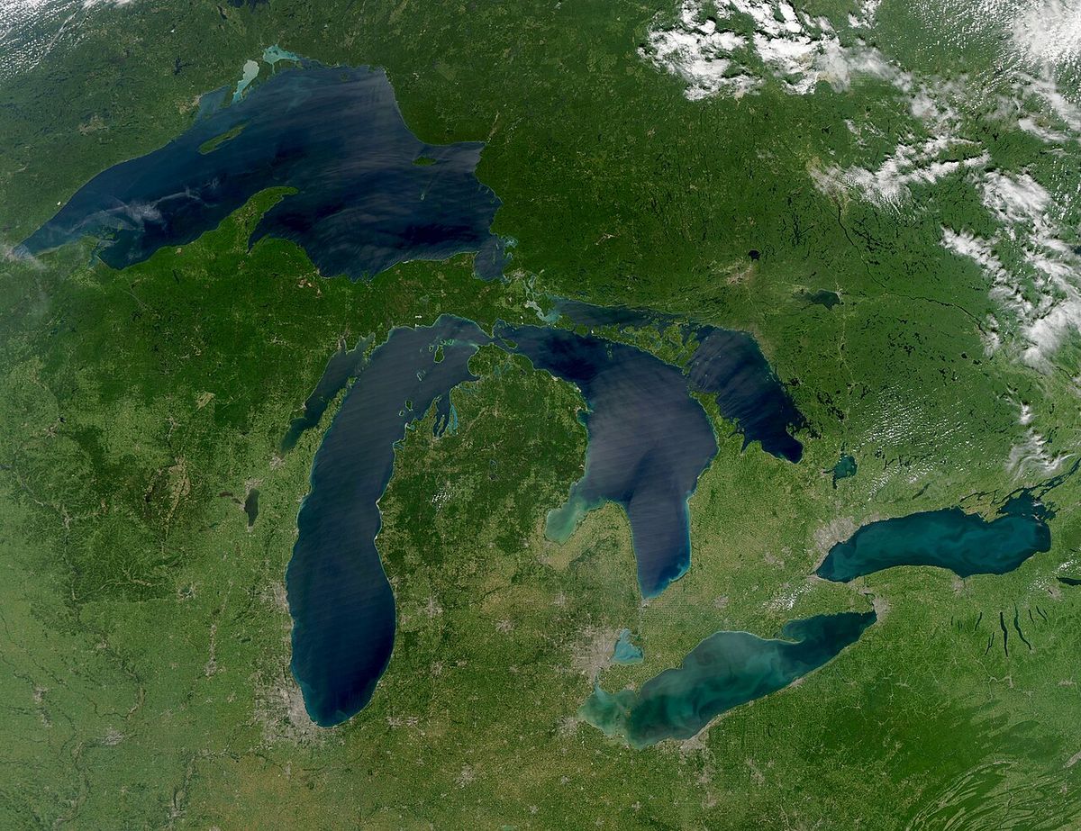
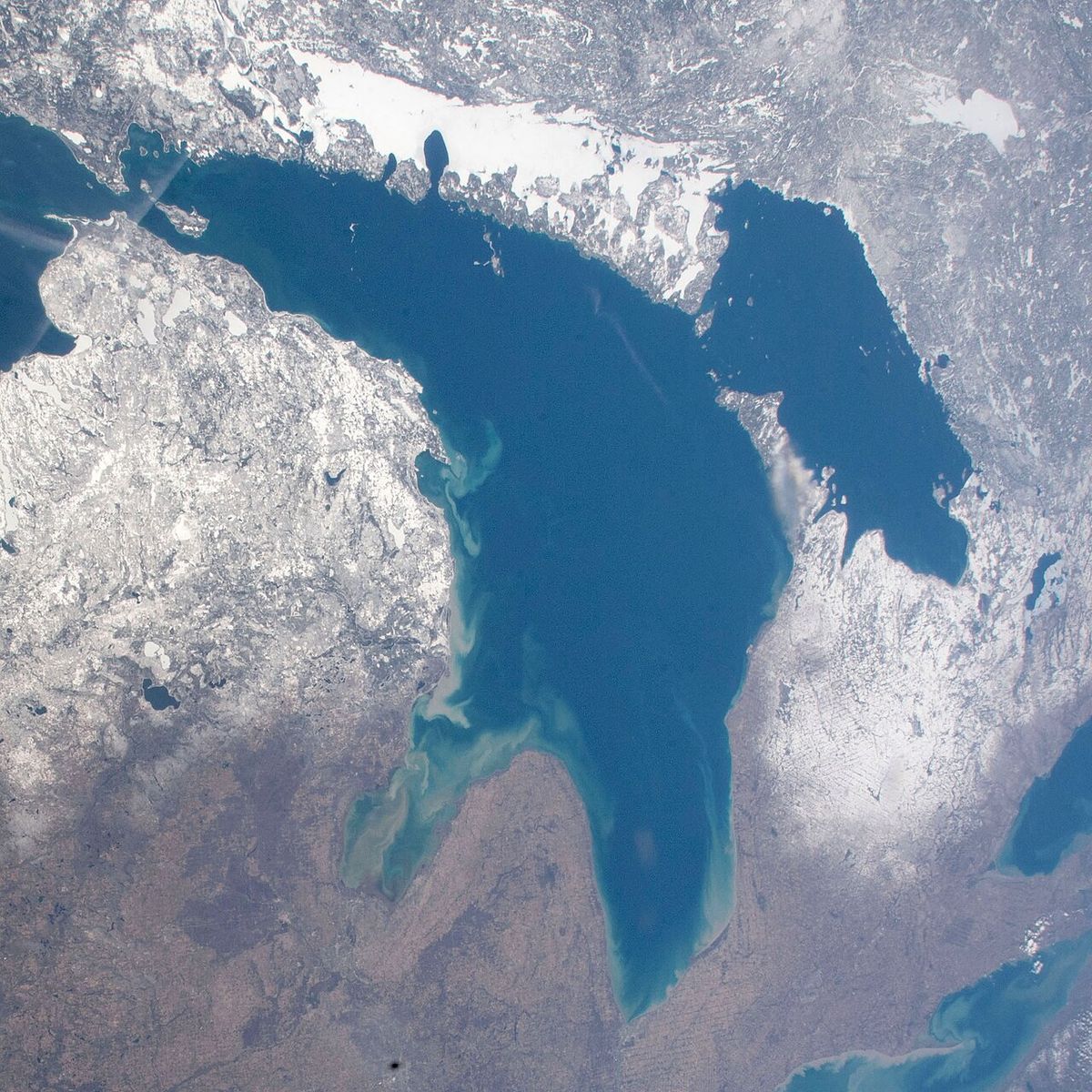
The city has a humid continental climate with warm, humid summers and cold, snowy winters. It is situated in a snowbelt region, receiving regular lake-effect snow from Lake Huron and Georgian Bay, which contributes to an average annual snowfall of 286 centimetres. Snow squalls are common between November and January. January has an average high temperature of -3.2°C and a mean temperature of -7.8°C, with temperatures occasionally dropping below -30°C. Summers are warm with an average July temperature of 20.1°C, and the city experiences frequent thunderstorms due to its location in a Great Lakes breeze convergence zone. Precipitation is heaviest in August and September, each receiving over 90 millimetres on average, while the driest months are February through April. The all-time record high is 38.9°C set on July 5, 1911, and the record low is -38.9°C set on January 8, 1886.
Demographic Profile and Trends
According to the 2021 Census of Population, Barrie had a population of 147,829 living in 55,316 of its 57,276 total private dwellings. This represented a 4.5% increase from its 2016 population of 141,434. With a land area of 99.01 square kilometres, the population density was 1,493.1 people per square kilometre. The Barrie Census Metropolitan Area, which includes surrounding communities, had a population of 212,856 in 2021, an increase of 8% from 197,059 in 2016, with a land area of 897.26 square kilometres. The city's rapid growth is a long-term trend, with the population rising from 62,728 in 1991 to an estimated 147,000 by 2017, largely due to its role as a commuter community for the Greater Toronto Area.
Ethnic composition data from the 2021 census indicates Barrie was approximately 77.9% white, 17.1% visible minorities, and 5.0% Indigenous. In terms of religion, 52.5% of residents identified as Christian, a decline from 66.3% in 2011. This group included 23.6% Catholic, 15.9% Protestant, 8.2% Christian of unspecified denomination, and 1.5% Christian Orthodox. Residents reporting no religious affiliation constituted 40.8% of the population, up from 31.0% in 2011. The largest non-Christian religions were Islam (2.5%), Hinduism (1.5%), and Sikhism (0.8%), with all other religions and spiritual traditions combined accounting for 6.7% of residents.
Economic Structure and Major Employers
Barrie's economy is diversified, with significant sectors including healthcare, education, information technology, manufacturing, and public administration. The city hosts regional headquarters, data centres, and operational hubs for several major national corporations, underpinning its status as a key employment centre in central Ontario. Major public sector employers include the Royal Victoria Regional Health Centre, Georgian College with its University Partnership Centre and Centre for Health and Wellness, the City of Barrie, the County of Simcoe, and the Simcoe County District School Board. The technology and financial services sectors are represented by substantial facilities from companies like IBM Canada, TD Canada Trust, TD Waterhouse, Scotiabank, and BMO.
Other significant employers in the region include the Coca-Cola Bottling Company, the Canadian Mental Health Association's Simcoe branch, and Hydro One's Ontario Grid Control Centre. The economic development of former industrial lands has been a focus, such as the conversion of the former Molson Park into the Park Place commercial district after it hosted the Live 8 Canada concert in 2005. Construction on Park Place began in 2008, was interrupted by the Great Recession and an Ontario Municipal Board appeal, and resumed in 2010. This blend of public institutions and private corporate investment supports Barrie's dual role as a regional service hub and a growing bedroom community for the Greater Toronto Area.
- Royal Victoria Regional Health Centre (Healthcare)
- Georgian College and University Partnership Centre (Education)
- City of Barrie and County of Simcoe (Public Administration)
- Simcoe County District School Board (Education)
- TD Canada Trust and TD Waterhouse Regional Centre (Finance)
- IBM Canada Leadership Data Centre (Information Technology)
- BMO Data Centre (Finance)
- Coca-Cola Bottling Company (Manufacturing)
- Hydro One Ontario Grid Control Centre (Utilities)
Neighbourhoods and Urban Expansion
Barrie is composed of numerous distinct intraurban communities. The historic downtown core is situated directly on Kempenfelt Bay and is the focus of ongoing intensification efforts. Other established neighbourhoods include Allandale, home to the historic train station, Ardagh Bluffs in the north, and Painswick in the southeast. The full list of recognized communities includes Allandale, Ardagh Bluffs, Craighurst, Crown Hill, Cundles, Dalston, Downtown, Eastview, Ferndale, Holly, Horseshoe Valley, Letitia Heights, Little Lake, Minet's Point, Painswick, St. Paul's, and The Grove. The city's expansion has been strategically managed through land annexations to accommodate projected growth.
The 2010 annexation added 2,293 hectares from Innisfil, extending the city limits south beyond McKay Road and as far south as Lockhart Road on the east side of the 10th Sideroad. The 2026 annexation added a further 1,769 hectares from Springwater Township in two separate sections, expanding the city's area to the north, west, and east of Kempenfelt Bay. These annexed lands are part of the city's official plan to direct higher-density development as an Urban Growth Centre, aiming to mitigate urban sprawl. The city's population is expected to surpass 200,000 residents by 2031, necessitating this planned approach to residential and commercial development.
Transportation Infrastructure and Connectivity
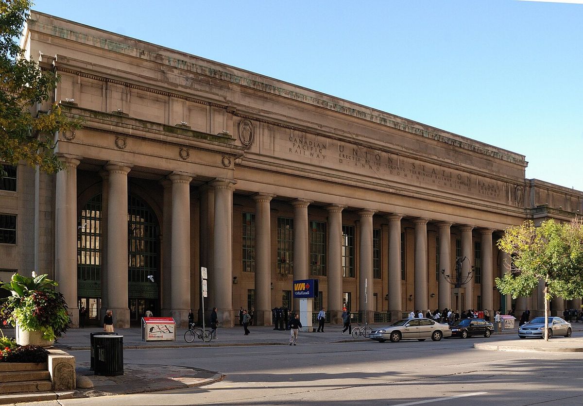
Barrie functions as a major transportation hub for central Ontario, offering comprehensive road and rail connections. Highway 400 is the primary north-south arterial route, providing a direct link to Toronto and access to Highways 401 and 407. The city is also served by Highways 11 and 26, which facilitate travel to other parts of Simcoe County and northern Ontario. Toronto Pearson International Airport is less than a one-hour drive from Barrie via Highway 400. Public transit connectivity is provided by GO Transit's Barrie line, which offers commuter rail service from the Barrie South and Allandale Waterfront stations south to Toronto's Union Station. This rail connection has been instrumental in Barrie's development as a commuter community.
Historically, rail played a foundational role in the city's growth. The Northern Railway line opened in 1853, and the Hamilton and North-Western Railway also ran through the city, with Allandale Station serving as the primary depot. These lines consolidated and were later integrated into the Canadian National Railway network. The city's internal road network is structured around its downtown core and the curved valley topography, with major arteries like Bayfield Street, Duckworth Street, and Maple Avenue facilitating movement. The planned redevelopment of the waterfront includes considerations for relocating the Spirit Catcher sculpture to a gravel outcropping at the foot of Bayfield Street, indicating ongoing evolution of the transportation corridors and public spaces.
Culture, Heritage, and Landmarks
Barrie's cultural identity is closely connected to its waterfront on Kempenfelt Bay, which serves as a focal point for recreation, festivals, and public art. The Spirit Catcher sculpture, installed in 1987, is a prominent waterfront landmark. The city's downtown features historic buildings like the Queen's Hotel, established in 1850 and the oldest continuously running hotel in Barrie, though it burned and was rebuilt in 1915. Heritage sites related to the city's founding include markers for the Nine Mile Portage, with a scenic path from Memorial Square to Fort Willow accessible year-round. Barrie also has a connection to the Underground Railroad, as it was a final destination for a branch of the network, contributing to the development of nearby Shanty Bay in the mid-19th century.
The city has hosted major events such as the Live 8 Canada concert in 2005 at Park Place. In 2013, Barrie was officially twinned with Harrogate, England, reflecting the historical connection of its namesake, Sir Robert Barrie. The legacy of the War of 1812 supply depot and the role of CFB Borden in training troops for both World Wars are important parts of the city's historical narrative. The devastating 1985 tornado is also a significant part of local history, memorialized for its impact on the community. Cultural and recreational life is supported by facilities like the waterfront, parks, and the commercial developments at Park Place, which emerged from the former Molson Park lands.
Questions about Barrie
How far is Barrie from Toronto?
Barrie is located approximately 90 kilometres, or about 56 miles, north of Toronto. The city is accessible via Highway 400, making it roughly a one-hour drive under normal traffic conditions. GO Transit also provides commuter rail service on the Barrie line, connecting the city directly to Toronto's Union Station. This proximity has made Barrie a popular bedroom community for the Greater Toronto Area.
What was the Barrie tornado of 1985?
On May 31, 1985, Barrie was struck by a devastating F4 tornado as part of a larger outbreak across the United States and Canada. The tornado killed eight people, injured approximately 155 others, and damaged or destroyed over 600 homes. It caused an estimated $150 million in property damage at the time, equivalent to about $326 million in 2022 dollars. This event remains one of the most destructive tornadoes in Canadian history.
What is Barrie's population?
As of the 2021 census, the population of the City of Barrie was 147,829. The broader Barrie Census Metropolitan Area, which includes surrounding communities, had a population of 212,856. The city has been one of the fastest-growing in Canada, with its population having tripled between 1981 and 2006. Continued growth is expected, with projections suggesting the city's population will exceed 200,000 by 2031.
What are the major employers in Barrie?
Barrie's economy is supported by a diverse range of major employers across several sectors. Key institutions include the Royal Victoria Regional Health Centre, Georgian College, and the municipal and county governments. Major corporate employers feature regional centres for TD Canada Trust, Scotiabank, BMO, and IBM Canada. Other significant employers are the Simcoe County District School Board, Hydro One, and the Coca-Cola Bottling Company.
What is the Spirit Catcher in Barrie?
The Spirit Catcher is a large, distinctive steel sculpture created by artist Ron Baird. It was originally exhibited at Expo 86 in Vancouver before being permanently installed on the Barrie waterfront at the foot of Maple Avenue in 1987. The sculpture has become a major local landmark and tourist attraction for the city. With ongoing waterfront redevelopment, the city has considered relocating the sculpture to a new site at the foot of Bayfield Street.
Why is Barrie called a snowbelt city?
Barrie is called a snowbelt city because it is located in a snowbelt region that experiences regular lake-effect snow every year. This occurs when cold air passes over the warmer waters of Lake Huron and Georgian Bay, picking up moisture that falls as heavy snow upon reaching land. Snow squalls are a common occurrence in Barrie between November and January. The city averages 286 centimetres of snow annually, with the brunt of it coming from these lake-effect snow events. This geographic and climatic characteristic defines Barrie's winter conditions.
Sources: Wikipedia and current public reporting, checked by the Your Space Hamilton desk. Last updated 2026-10-25.