1900 Galveston hurricane
The 1900 Galveston hurricane, also known as the Great Storm of 1900, was a catastrophic Category 4 hurricane that struck the island city of Galveston, Texas, on September 8, 1900. With an estimated death toll of 8,000 people, it remains the deadliest natural disaster in United States history and the fourth deadliest Atlantic hurricane on record. The storm surge, reaching up to 15 feet, inundated the low-lying island, destroying approximately 7,000 buildings and leaving a third of the population homeless. The hurricane's remnants also caused significant loss of life and damage in Canada, particularly in Ontario and off the coasts of Newfoundland, forging a sombre historical link between the disaster and Canadian maritime communities.
Meteorological History and Path
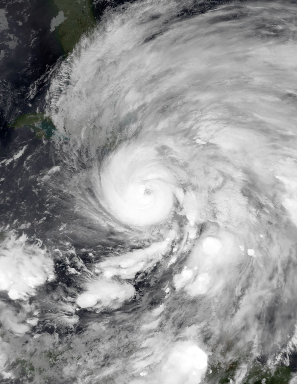
The storm is believed to have originated from a tropical wave moving off the west coast of Africa, though limited ship reports made this uncertain. The first formal sighting occurred on August 27, about 1,600 kilometres east of the Windward Islands, when a ship encountered unsettled weather. It moved west-northwest as a tropical storm, passing through the Leeward Islands and entering the Caribbean Sea on August 31. The system made landfall near Baní in the Dominican Republic on September 2, crossed Hispaniola, and struck modern day Santiago de Cuba Province on September 3. It drifted slowly along Cuba's southern coast before emerging into the Straits of Florida on September 5. Father Reese Gangoite of the Belen College Observatory in Havana observed a large halo around the moon and deep red skies, signs he interpreted as the storm intensifying and moving toward Texas. Contrary to this, the United States Weather Bureau expected a recurve toward Florida. An area of high pressure over the Florida Keys steered the system northwest into the Gulf of Mexico on September 6, where warm waters fuelled rapid intensification. The ship Louisiana encountered it that day, with Captain T. P. Halsey estimating winds of 160 kilometres per hour. The hurricane reached its peak as a Category 4 storm with 235 kilometre per hour winds on September 7. It made landfall south of Galveston around 8:00 p.m. CST on September 8, its eye passing southwest of the city. The system weakened to a tropical storm over Texas by late September 9, became extratropical over Iowa on September 11, and re intensified over Ontario on September 12. It accelerated across Eastern Canada, reaching the Gulf of St. Lawrence on September 13 and crossing Newfoundland before dissipating near Iceland on September 15.
Galveston's Prosperity and Complacency Before the Storm
Founded in 1839, Galveston was a booming port city by 1900, with its population growing from 29,084 in 1890 to 37,788. It was the fourth largest municipality in Texas and among the wealthiest cities in the United States per capita. Its natural harbour on Galveston Bay made it a centre of trade and one of the nation's busiest ports, with an ornate downtown business district called The Strand known as the Wall Street of the Southwest. This prosperity created a dangerous sense of invulnerability. Residents believed future storms would be no worse than past events, a view publicly supported by Isaac Cline, director of the local Weather Bureau office. In an 1891 article for the Galveston Daily News, Cline wrote it would be impossible for a hurricane of significant strength to strike the island. A quarter century earlier, the nearby town of Indianola on Matagorda Bay had been destroyed by hurricanes in 1875 and 1886, leading many residents to abandon it. Some in Galveston saw this as a lesson and proposed a seawall, but the city's government and majority of the population dismissed the concerns. Cline argued a seawall was unnecessary, and development activities actively increased the island's vulnerability. Sand dunes along the shore were cut down to fill low areas in the city, removing a natural barrier to the Gulf of Mexico. Galveston Island was a low, flat sandbar, with its highest point only about 2.4 metres above sea level, leaving it acutely exposed.
Forecasting Failures and Inadequate Preparations
On September 4, the Galveston Weather Bureau office received warnings from Washington, D.C., of a tropical disturbance over Cuba. The Bureau discouraged terms like hurricane to avoid panic and had no accurate method to track the storm's trajectory. A critical failure was the policy of Weather Bureau director Willis Luther Moore to block telegraph reports from Cuban meteorologists at the Colegio de Belén observatory in Havana, one of the world's most advanced meteorological institutions at the time. This was due to political tensions following the Spanish American War. Moore also required local offices to seek authorization from Washington before issuing storm warnings. Cuban forecasters correctly predicted the storm would move west into the Gulf and toward central Texas, but this information never reached American forecasters. The U.S. Weather Bureau insisted the storm would curve north into Florida, issuing warnings from Cedar Key to Savannah, Georgia, on September 6. In Galveston on the morning of September 8, the weather was partly cloudy with persistent swells, causing few residents concern. Most of the population was unconcerned by the rain clouds that arrived by mid morning. Few people evacuated across the bridges to the mainland. Accounts by Isaac Cline that he personally travelled by horse along the beach to warn people are disputed and lack corroboration from other survivors. A steamship later broke free and crashed through all three bridges to the mainland, trapping the entire population on the island as the hurricane arrived.
Catastrophic Impact and Destruction in Galveston
The hurricane's impact on Galveston was apocalyptic. By 4:00 a.m. on September 8, a driving rain began, and by 9:00 a.m. water around the island started to rise. Winds and waves increased throughout the day, battering ships against wharves and flooding low areas. By mid afternoon, winds reached hurricane velocity and water ran over 1.5 metres deep in the streets. Most victims drowned or were crushed by collapsing buildings, while others were killed by flying debris. Approximately 7,000 buildings were destroyed, including 3,636 homes, and every dwelling suffered some degree of damage. About 10,000 people were left homeless from a population under 38,000. The death toll in Texas was between 6,000 and 12,000, with 8,000 being the most cited figure. The storm caused about $30 million in damage in Galveston County alone, with total U.S. damages exceeding $34 million.
Aftermath and the Grisly Task of Recovery
The immediate aftermath presented a scene of utter devastation and a public health crisis. High temperatures caused the piles of bodies to swell and blacken, creating a serious threat of disease. Survivors faced the horrific task of disposing of thousands of corpses. Authorities initially weighed bodies, loaded them onto barges, and dumped them offshore. After a few days, about 2,300 had been disposed of this way, but most washed back ashore on the next tide. In desperation, workers dug shallow trenches, lined them with wood, and burned the bodies of humans and animals together in massive funeral pyres. The smoke from these fires hung over the island for weeks. The disaster definitively ended the Golden Era of Galveston, alarming investors who turned their attention and capital to Houston instead. In response to the catastrophe, the city undertook a radical engineering solution to ensure its future survival and never again suffer such a fate.
The Engineering Response: Seawall and Grade Raising
Determined to prevent a repeat disaster, Galveston commissioned three engineers to design a comprehensive protection plan. Their solution had two monumental components. First, they designed and oversaw the construction of a 5.2 metre high, 16 kilometre long concrete seawall along the Gulf of Mexico shoreline of Galveston Island. Second, and even more remarkably, they orchestrated a project to increase the ground level of the entire city behind this wall by up to 5.2 metres. Workers then pumped millions of cubic metres of sand from the bay to fill the space beneath the raised structures and increase the ground level. This project is considered one of the most ambitious civil engineering feats in American history and successfully protected Galveston from future storms, though modifications were later made after the seawall's first major test.
Effects Across the Caribbean and United States
Before reaching Texas, the storm affected the Caribbean. In Puerto Rico, winds reached 69 kilometres per hour at San Juan. Jamaica experienced heavy rainfall that swelled rivers, severely damaging banana plantations and washing away miles of railroads, causing thousands of pounds in damages. In Cuba, Santiago de Cuba recorded 319.5 millimetres of rain in 24 hours, submerging the city's southern end under 1.5 metres of water in its worst weather since 1877. A German steamer, St. George, ran aground at Daiquirí. In the United States, effects were widespread. South Florida experienced tropical storm force winds, with 77 kilometre per hour winds in Jupiter and minor damage in Palm Beach where boats capsized and docks were damaged. Mississippi recorded 93 kilometre per hour winds at Pass Christian. In Louisiana, hurricane force winds hit Cameron Parish and storm surge inundated Johnson Bayou, destroying at least 25 percent of the state's rice crops. The storm's remnants produced heavy rains and gusty winds across the Midwest and Northeast, downing telegraph wires, signs, and trees. Fatalities occurred in Ohio (15), Illinois (2), New York (2), Massachusetts (1), and Missouri (1). Outside Galveston, Texas communities like Alvin, Angleton, and Brazoria reported near total loss of buildings. Statewide, the storm caused at least $3 million in damage to cotton crops, $75,000 to telegraph poles, and $60,000 to railroads.
Impact and Legacy in Canada
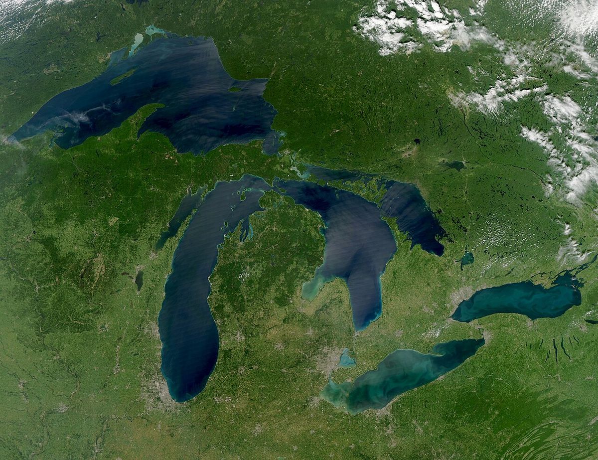
The extratropical remnants of the hurricane caused severe and deadly impact in Canada. As the system accelerated across the Great Lakes and Eastern Canada, it retained significant strength, becoming the equivalent of a Category 1 hurricane over Ontario on September 12. In Ontario, the storm caused an estimated $1.35 million in damages, with about $1 million of that attributed to crop losses. The most devastating Canadian losses occurred in the Atlantic provinces. As the system raced across the Gulf of St. Lawrence and off the coast of Newfoundland, it created treacherous maritime conditions that sank numerous vessels. The death toll in Canada attributed to the storm is estimated at between 52 and 232 people. Most of these fatalities were sailors and fishermen who drowned when their ships foundered in the violent seas, particularly near Newfoundland and the French islands of Saint Pierre. This maritime tragedy represents one of the most significant Canadian impacts from a United States hurricane in history, linking the Gulf of Mexico disaster directly to Canadian coastal communities.
Historical Significance and Enduring Memory
The 1900 Galveston hurricane holds a permanent place in history as the United States' deadliest natural disaster. It fundamentally altered the economic geography of Texas, ending Galveston's primacy and cementing Houston's rise as the dominant commercial and industrial centre of the region. The storm exposed critical flaws in meteorological communication, bureaucratic inflexibility, and disaster preparedness. These failures contributed to reforms in weather forecasting and the eventual establishment of a more robust and scientifically driven hurricane warning system. In Galveston, the memory of the storm is deeply ingrained, referred to locally as the Great Storm of 1900 or simply the 1900 Storm. Annual commemorations honour the victims. The seawall and the altered cityscape are physical reminders of the catastrophe and the monumental effort to rebuild. The disaster serves as a foundational case study on the vulnerability of coastal communities, the consequences of technological and bureaucratic failure, and the profound human cost of underestimating the power of nature.
Questions about 1900 Galveston hurricane
How many people died in the 1900 Galveston hurricane?
The death toll is estimated to be between 6,000 and 12,000 people. The figure most commonly cited in official reports is 8,000 fatalities, making it the deadliest natural disaster in United States history. The vast majority of these deaths occurred in and immediately around Galveston, Texas, when the storm surge inundated the low lying island city. This number places it as the fourth deadliest Atlantic hurricane on record as of 2026, after the Great Hurricane of 1780, Hurricane Mitch in 1998, and another historical storm.
Why was Galveston so vulnerable to the hurricane?
Galveston was built on a flat, narrow sandbar island with a maximum elevation of only about 2.4 metres above sea level in 1900. The city had no protective seawall and had even removed natural sand dunes for development, eliminating a natural barrier. Furthermore, a widespread belief, promoted by local weather official Isaac Cline in an 1891 newspaper article, stated that a major hurricane could not strike the island, calling the idea an absurd delusion. This led to a lack of preparedness and the dismissal of proposals to build defensive structures like a seawall, leaving the city completely exposed.
Did the hurricane affect Canada?
Yes, the extratropical remnants of the hurricane caused significant impact in Canada. The storm brought strong winds and rain to Ontario, causing an estimated $1.35 million in damage, with about $1 million of that attributed to crop losses. Most tragically, the storm sank multiple ships off the coasts of Newfoundland and in the Gulf of St. Lawrence, resulting in an estimated Canadian death toll of between 52 and 232 sailors and fishermen. This maritime disaster forged a direct link between the Gulf of Mexico storm and Canadian coastal communities.
Why were warnings about the hurricane ineffective?
Warnings failed due to major forecasting errors and bureaucratic obstruction. The U.S. Weather Bureau in Washington, under director Willis Moore, incorrectly predicted the storm would curve toward Florida. Moore had implemented a policy blocking weather reports from experienced Cuban forecasters at the Belen College Observatory, who accurately predicted the storm's path toward Texas. By the time the threat to Galveston was realized, it was too late for effective evacuation. Locally, the unremarkable morning weather on September 8 and Isaac Cline's earlier assurances downplayed the risk, leaving the population unprepared.
What was the storm's economic impact and how does it compare to modern hurricanes?
The hurricane caused over $34 million in damages across the United States, with about $30 million concentrated in Galveston County, Texas. Adjusted for inflation, wealth, and population growth to 2010 values, the normalized damage would be approximately $104.33 billion. This places its potential economic impact in the same order of magnitude as the costliest U.S. hurricanes on record, Hurricane Katrina in 2005 and Hurricane Harvey in 2017, which each caused about $125 billion in damages. The storm's devastation also permanently shifted investment from Galveston to Houston, altering the regional economy.
Sources: Wikipedia and current public reporting, checked by the Your Space Hamilton desk. Last updated 2026-10-18.