Rice Lake
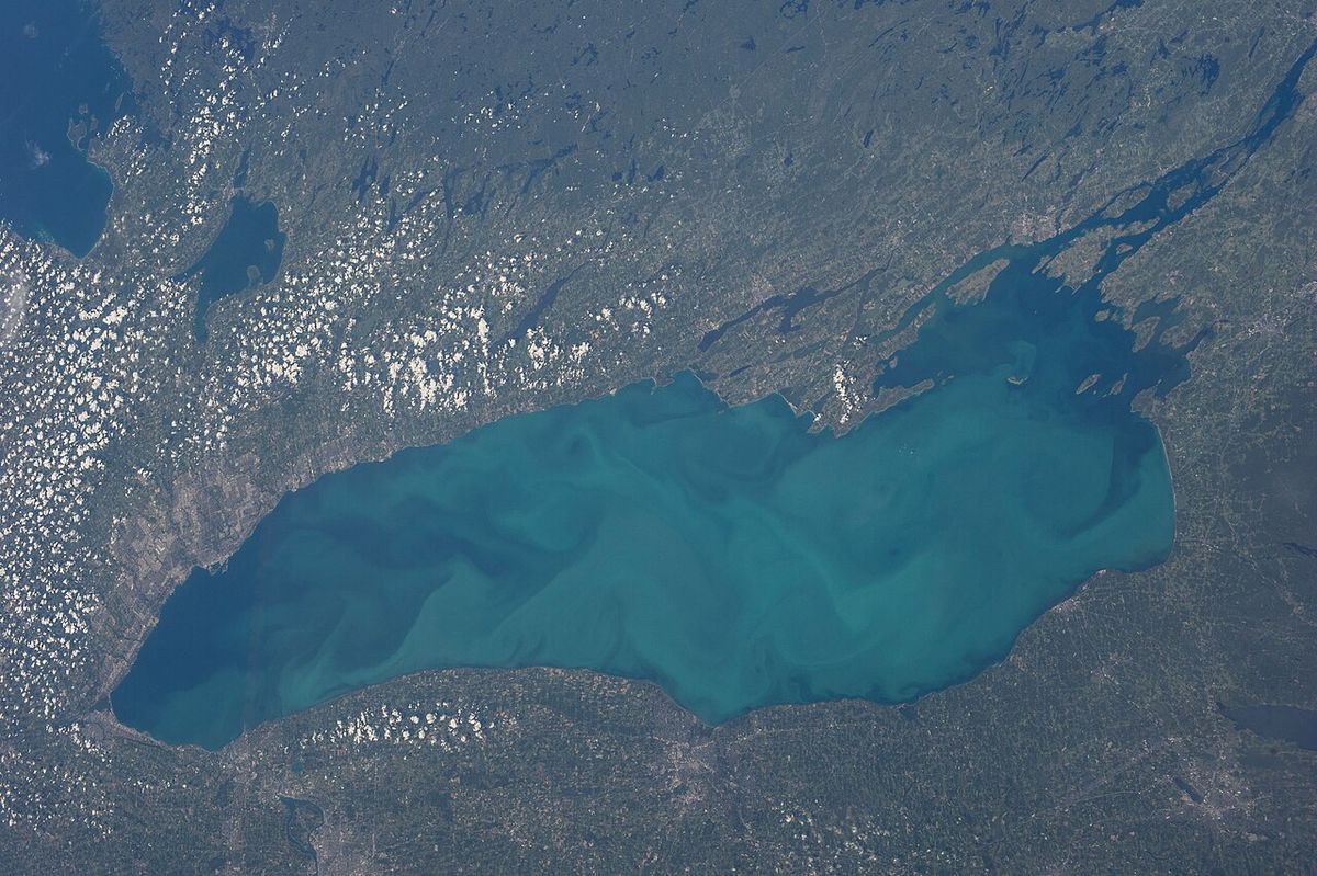
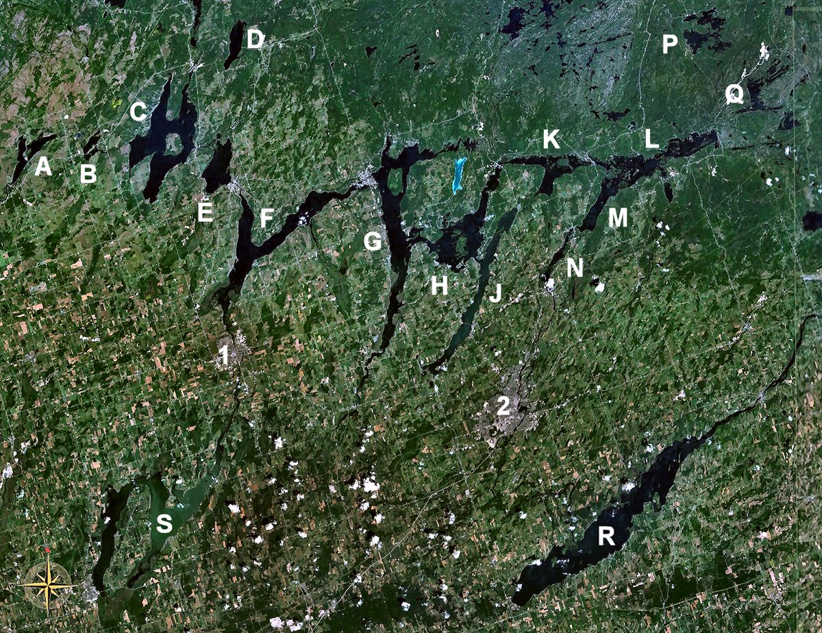
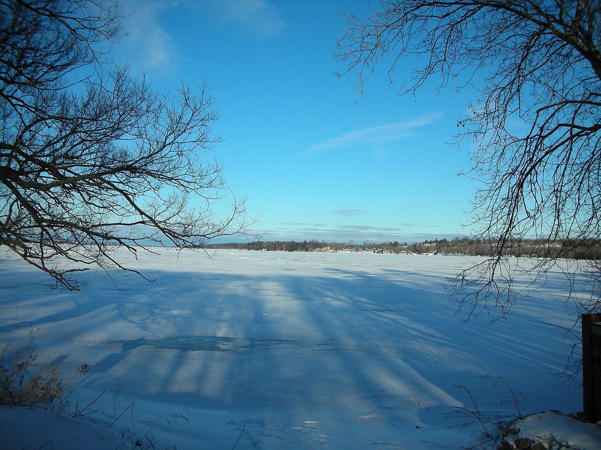
Rice Lake is a significant freshwater lake in southeastern Ontario, spanning Northumberland and Peterborough counties. As a key component of the Trent-Severn Waterway, it serves as a vital recreational and ecological corridor connecting the Kawartha Lakes region to Lake Ontario. The lake, historically important to Indigenous peoples for its wild rice harvests, is now renowned for its sport fisheries and tourism. Measuring approximately 28 kilometres long and 5 kilometres wide, Rice Lake is a shallow basin whose modern water level was established by 19th-century canal construction, dramatically altering its original ecology and shoreline.
Geography and Hydrology
Rice Lake is situated south of Peterborough and the Kawartha Lakes and north of Cobourg, forming a central link in the Trent-Severn Waterway system. Water flows into the lake from the Otonabee River and exits via the Trent River, continuing southward toward the Bay of Quinte. The lake's current surface elevation of 187 metres above sea level is maintained by the Hastings Dam, a structure built in the 19th century as part of the canal network. This engineering significantly altered the lake's natural shoreline and depth, which has a maximum of only 10 metres. The lake's basin lies within a distinctive glacial landscape, partially bisecting the Oak Ridges Moraine and surrounded by a drumlin field to the northwest, with many of its islands being partially submerged drumlins. A narrow corridor of the Oak Ridges Moraine south of the lake connects the western wedges near Albion, Uxbridge and Pontypool to the eastern Rice Lake wedge which terminates at the Trent River.
Historical Significance and Name
The lake's name derives from the extensive stands of wild rice, known as manoomin, that once flourished in its shallow waters and were a crucial food source for Indigenous peoples. The Mississaugas called the lake Pemadashdakota, which translates to 'lake of the burning plains'. The construction of the Trent-Severn Waterway and the associated raising of water levels in the 19th century dramatically reduced these native wild rice beds, altering the ecosystem. The north shore is home to the Serpent Mounds Park, a National Historic Site containing prehistoric Indigenous burial mounds. Other areas of historical Indigenous presence include the Alderville and Hiawatha First Nation reserves located near the lake. Archaeological studies, such as one published in the journal Ontario Archaeology, have documented caribou fossil records from the lake's vicinity, providing evidence of middle Holocene climatic change in the region.
Transportation and Industrial Development
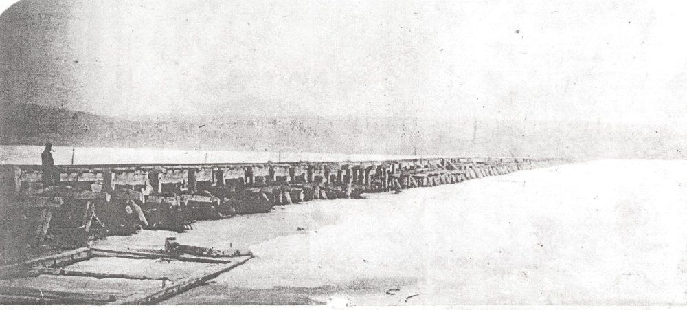
Rice Lake has long been a transportation corridor, first for Indigenous canoe routes and later for European settlement and industry. In 1854, the Cobourg and Peterborough Railway attempted to cross the lake directly via a 4-kilometre wooden trestle bridge from Harwood to Hiawatha. This ambitious structure proved unable to withstand winter ice pressures and was declared unsafe and closed within six years, though remnants of the railway bed remain visible on the south shore. Steamboats provided passenger and freight service on the lake in the late 19th century, capable of travelling up the Otonabee River to Peterborough. After the railway bridge failed, the line terminated at Harwood and was used to transport lumber and iron ore barged from Marmora, which was then shipped via rail to Cobourg's harbour. This industrial traffic helped develop Cobourg as a port, while the railway also began bringing recreational fishermen to the lake, fostering its early tourism industry.
Recreation and Tourism
Rice Lake is a major centre for outdoor recreation, attracting tourists primarily for its fishing and boating opportunities. The lake is celebrated for its diverse sport fishery, which includes species such as walleye, muskellunge, largemouth and smallmouth bass, and various panfish like crappie and perch. Numerous fishing tournaments and contests are held on the lake annually, capitalizing on its reputation as a productive angling destination. The first Saturday after Labour Day features an annual charity poker run boat race starting from Bewdley, with proceeds benefiting the Children's Wish Foundation. The surrounding communities, including the tourist town of Cobourg which developed in part due to railway access to the lake, cater to visitors with marinas, resorts, and rental services.
Islands of Rice Lake
The lake contains numerous islands, most of which are geologically classified as partially submerged drumlins from the glacial field northwest of the lake. These islands contribute to the scenic quality of the lake and provide habitat for wildlife. A partial list of the islands includes:
- Coughlins Island
- Cow Island and Black Island
- Foley Island (Upper and Lower)
- Grasshopper Island
- Grape Island (East and West)
- Harmony Island and Harris Island
- Hickory Island and Long Island
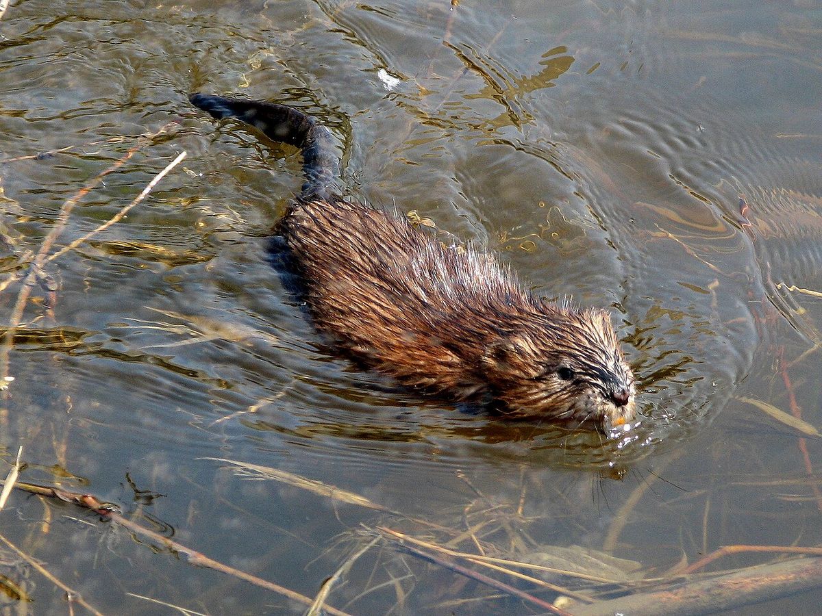
- Margaret Island and Muskrat Island
- Paudaush Island and Rack Island
- Scriver Island and Sheep Island
- Spook Island
- Sugar Island (East and West)
- Tic Island and White's Island
Settlements and Modern Land Use
The shores of Rice Lake are dotted with several small communities and towns that have historical and economic ties to the waterbody. The village of Bewdley is located at the western end, while the town of Hastings, site of the controlling dam, sits at the eastern outlet. Other settlements include Roseneath, Bailieboro, Gores Landing, Keene, and Harwood. Land use around the lake is a mix of residential, agricultural, and recreational, with significant cottage development along its shores. The lake's health and water quality are managed with consideration for both its ecological function and its heavy use for tourism and seasonal residence, balancing development pressures with conservation needs for the fishery and overall ecosystem. The region's economy benefits substantially from seasonal tourism, with services catering to anglers, boaters, and summer residents forming a core part of the local industry.
Ecological Characteristics and Management
Rice Lake's ecology has been fundamentally shaped by human intervention, most notably the raising of its water level in the 19th century. This action, accomplished by the Hastings Dam, flooded shoreline areas and led to the loss of most of the extensive wild rice stands that originally gave the lake its name. The lake remains relatively shallow with a maximum depth of 10 metres, which contributes to warmer water temperatures and supports its productive fishery. Management of the lake involves multiple jurisdictions, including Parks Canada for the Trent-Severn Waterway and the Ontario Ministry of Natural Resources and Forestry for fisheries. Ongoing considerations include maintaining water quality amidst shoreline development, managing aquatic invasive species, and preserving the lake's role within the broader Oak Ridges Moraine and Lake Ontario watershed systems.
Questions about Rice Lake
Where is Rice Lake located in Ontario?
Rice Lake is located in southeastern Ontario, spanning both Northumberland and Peterborough counties. It is situated south of the city of Peterborough and the Kawartha Lakes, and north of the town of Cobourg. The lake forms part of the Trent-Severn Waterway, connecting the Otonabee River to the Trent River. Major communities on its shores include Bewdley on the west end and Hastings on the east end, with other settlements like Roseneath and Gores Landing along its length.
Why is it called Rice Lake?
The lake was named for the abundant wild rice that historically grew in its shallow waters. Indigenous peoples, including the Mississaugas, harvested this rice as a staple food source. The Mississauga name for the lake is Pemadashdakota, meaning 'lake of the burning plains'. Most of the original wild rice stands were eliminated in the 19th century when water levels were raised by the construction of the Trent-Severn Waterway's dams and locks, fundamentally changing the lake's ecology.
What kind of fish can you catch in Rice Lake?
Rice Lake is renowned for its diverse and productive sport fishery. Popular game fish species include walleye, muskellunge (muskie), and both largemouth and smallmouth bass. The lake also supports populations of various panfish such as crappie, perch, and other sunfish. This variety makes it a premier fishing destination in Ontario, hosting several annual fishing tournaments and contests that draw anglers from across the province seeking these specific species.
What happened to the railway bridge that crossed Rice Lake?
The Cobourg and Peterborough Railway built a 4-kilometre wooden trestle bridge across Rice Lake in 1854, connecting Harwood to Hiawatha. The bridge was severely damaged by thick winter ice on the lake and was declared unsafe within just six years of operation. It was subsequently closed and never rebuilt. Sections of the old railway bed are still visible along the south shore of the lake today, serving as a historical reminder of this failed transportation project.
What are the main tourist activities on Rice Lake?
Tourism on Rice Lake centres on water-based activities. Recreational fishing is the primary draw, thanks to the lake's healthy populations of game fish like walleye and muskie. Boating is extremely popular, with access via the Trent-Severn Waterway. An annual charity poker run boat race is held from Bewdley each September. The surrounding area also offers opportunities for camping, hiking near the Oak Ridges Moraine, and visiting historical sites like Serpent Mounds Park on the north shore.
What is the geological significance of Rice Lake?
Rice Lake holds geological importance as it nearly bisects the Oak Ridges Moraine, a major glacial landform in southern Ontario. The lake occupies a corridor between moraine wedges to the west and east, with a narrow connection south of the lake. The islands within the lake are primarily partially submerged drumlins, which are elongated hills formed by glacial ice. The lake itself is relatively shallow, with a maximum depth of only 10 metres, sitting in a basin shaped by past glacial activity that also created the surrounding drumlin field.
Sources: Wikipedia and current public reporting, checked by the Your Space Hamilton desk. Last updated 2026-10-28.