Killiniq Island
Killiniq Island is a remote, uninhabited island situated at the northeastern extremity of Canada, notable for its unique geopolitical status. With a land area of approximately 269 square kilometres, the island is bisected by the only land border between the territory of Nunavut and the province of Newfoundland and Labrador. Its name, derived from an Inuit word meaning "ice floes" or "drift ice," reflects its harsh, icy environment at the entrance to the Hudson Strait. The island's history includes a former Inuit settlement and trading post, but it has been evacuated since 1978, leaving it as a stark and significant landmark in the Canadian Arctic.
Geography and Natural Features
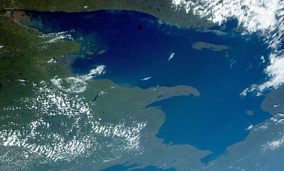
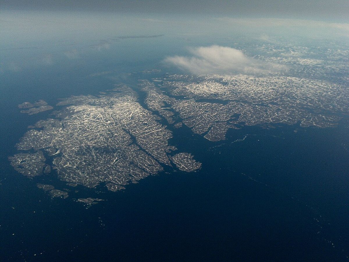
Killiniq Island is located off the northern tip of the Labrador Peninsula, positioned strategically on the south side of the entrance to the Hudson Strait. The island measures roughly 29 kilometres in length and 13 kilometres in width, characterized by a high, rocky coastline that presents a formidable barrier against the sea. It is separated from the mainland by the narrow and steep-sided McLelan Strait, a defining geographical feature. The terrain is dominated by the Torngat Mountains, which are part of the Arctic Cordillera mountain range, extending from the north to the south of the island. This rugged topography contributes to the island's stark beauty and its challenging, inaccessible nature for most of the year.
The island's climate is severe, influenced by its position where the Labrador Sea meets the Hudson Strait, resulting in persistent drift ice that gives the island its Inuit name. Cape Chidley, located on the island, is the northernmost point of the province of Newfoundland and Labrador. The rocky shores and interior highlands offer little in the way of vegetation, supporting a typical Arctic tundra ecosystem. The surrounding waters are rich in marine life, though the island's remoteness and harsh conditions have kept human presence to a minimum throughout history.
Unique Jurisdictional Status
Killiniq Island holds a distinctive place in Canadian political geography as the sole location sharing a land border between Nunavut and Newfoundland and Labrador. The provincial boundary passes directly across the island, placing its eastern portion under the administration of Newfoundland and Labrador and the remainder within the Qikiqtaaluk Region of Nunavut. This division is a historical artifact of boundary delineations and is not always accurately represented on maps. Some cartographic sources, notably those from Quebec, have incorrectly shown the island as belonging to that province, a lingering consequence of historical disputes over the Labrador boundary. This jurisdictional split means the island is subject to the governance and laws of two separate entities, though its uninhabited status minimizes practical administrative complexities.
The border's existence highlights the complex history of territorial claims in northern Canada. Some cartographic sources do not correctly show the island's geopolitical boundaries. For instance, the Commission de toponymie du Québec shows it as belonging to Quebec. This is an apparent consequence of Quebec's longstanding refusal to acknowledge the legal decision regarding the Labrador border. For cartographers and geographers, Killiniq Island serves as a critical case study in Canadian boundary law.
Historical Human Presence
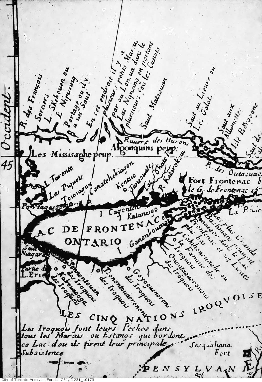
Archaeological evidence indicates that Killiniq Island has been used by Indigenous peoples since the Pre-Dorset Culture period, thousands of years ago. The island's sheltered harbours and proximity to marine resources made it a seasonal site for hunting and fishing. European contact began centuries later, with the location marked on Mercator's 1569 world map. The modern settlement era commenced in 1884 with the establishment of a meteorological station, recognizing the site's strategic importance for weather observation in the Arctic. The community that developed, known variably as Killiniq, Killinek, Port Burwell, Killipaartalik, or Kikkertaujak, became a focal point for Arctic activity.
A Moravian mission operated there from 1904 to 1923, followed by a Hudson's Bay Company trading post from 1916 to 1939. The site also hosted a Royal Canadian Mounted Police post and a Canadian Coast Guard radio station. The formation of an Inuit Co-operative in 1959 brought a period of relative prosperity, but by the late 1970s, the population was in decline due to economic and social pressures. The government-mandated relocation in 1978 was conducted against the wishes of the remaining inhabitants, who were moved to other communities along Ungava Bay.
- 1884: Meteorological station established.
- 1904 to 1923: Operation of a Moravian mission.
- 1916 to 1939: Hudson's Bay Company trading post.
- 1959: Inuit Co-operative formed.
- 1978: Remaining Inuit residents relocated by the government of the Northwest Territories.
This event ended the permanent human habitation of Killiniq Island. The settlement, also called Killiniq or Port Burwell, was on what is now the Nunavut side of the island. It was evacuated by the government of the Northwest Territories in 1978. The remaining Inuit were relocated against their wishes to other communities along Ungava Bay. The evacuation closed a chapter of community life that spanned nearly a century of concentrated activity. The island is now uninhabited, leaving behind the empty buildings and infrastructure.
Current Status and Infrastructure
Since the 1978 evacuation, Killiniq Island has been officially uninhabited. The former settlement site is a collection of abandoned structures slowly succumbing to the harsh Arctic elements. The only remaining operational infrastructure is an automated remote radio transmitter for Iqaluit Coast Guard Radio, which continues to function to support maritime communication and safety in the region. This automated system requires minimal maintenance and represents the island's last technological link to the outside world. The island receives virtually no regular visitors due to its extreme remoteness, lack of facilities, and challenging access.
It is occasionally referenced in the context of Arctic expeditions, such as the planned 2026 North-to-North Expedition Journey, which highlights the island's historical significance and unique border. For the vast majority of Canadians, Killiniq Island remains a cartographic curiosity and a symbol of the nation's vast, unpopulated northern frontiers. Its management falls indirectly under the remote oversight of the two jurisdictions that claim it, but no active park, conservation area, or tourism development exists on the island. The automated radio transmitter is the sole sign of modern technological presence in an otherwise silent landscape.
Place in Exploration and Tourism
Killiniq Island occupies a specific role in Arctic exploration and extreme adventure tourism. It is listed, somewhat ironically, as a travel attraction on platforms like Tripadvisor, where it is ranked at the bottom due to its inaccessibility and lack of amenities. The island's primary appeal is to historians, geographers, and expedition groups seeking to visit historically significant and logistically challenging locations. The planned 2026 North-to-North Expedition Journey, for instance, includes Killiniq Island as a point of interest for its geographic and historical narrative. Unlike developed national parks, Killiniq has no visitor services, trails, or designated campsites.
Access is typically by chartered boat or aircraft, subject to dangerous and unpredictable weather and ice conditions. Those who do visit are met with a powerful sense of isolation and a landscape shaped by geological forces and a brief human history. The island serves as a stark contrast to Canada's managed park systems, representing the raw, untamed wilderness that defines much of the country's northern identity. It is a destination not for recreation but for the specific purpose of witnessing a remote and historically layered part of Canada.
Cultural and Archaeological Significance
The long history of human activity on Killiniq Island, from the Pre-Dorset peoples to the modern Inuit settlement, lends it significant cultural value. The island is a tangible record of Indigenous adaptation and survival in the High Arctic, as well as the waves of European missionary and commercial activity that followed. The site of Port Burwell encapsulates a microcosm of 20th-century Arctic history, from religious missions to cooperative enterprise, ending in government-led relocation. While not designated as a national historic site, the island's archaeological potential remains. The evidence of millennia of use, though not extensively excavated, places Killiniq within the broader narrative of human occupation in the Eastern Arctic.
The story of the 1978 relocation connects the island to discussions about Indigenous rights and the impacts of government policy in the North. The community thrived after an Inuit Co-operative was formed in 1959. By the late 1970s the population was in decline. The remaining Inuit were relocated against their wishes. As such, Killiniq Island is more than a geographic oddity. Its story is an important part of understanding the human dimensions of Canada's far north.
Questions about Killiniq Island
Where is Killiniq Island located?
Killiniq Island is located at the northern tip of Labrador between Ungava Bay and the Labrador Sea. It is situated off the northern tip of the Labrador Peninsula on the south side of the entrance to Hudson Strait. The island is separated from the mainland by the narrow, steep-sided McLelan Strait. It is governed by Nunavut in the north, while a smaller portion to the south is part of Newfoundland and Labrador.
Why is Killiniq Island split between two jurisdictions?
Killiniq Island is split because the provincial boundary passes across the island. Its eastern portion belongs to Newfoundland and Labrador and the rest is part of Nunavut. This creates the only land border between Nunavut and Newfoundland and Labrador. Some jurisdictions have been slow to acknowledge this boundary on their official maps.
Does anyone live on Killiniq Island?
No, Killiniq Island is now uninhabited. It has been uninhabited since 1978 when the settlement was evacuated. The former community existed until 1978, when it was evacuated by the government of the Northwest Territories. The remaining Inuit were relocated to other communities along Ungava Bay. An automated remote radio transmitter for Iqaluit Coast Guard Radio remains in operation on the island.
What is the former settlement on the island?
The former settlement was called Killiniq, also known as Port Burwell or Killinek. It was on the Nunavut side of the island. It included a meteorological station established in 1884. A Moravian mission was set up there from 1904 to 1923. A Hudson's Bay Company trading post operated from 1916 to 1939. It also had a Canadian Coast Guard radio station, an RCMP post, a fishing station, and an Inuit Co-operative formed in 1959.
Can you visit Killiniq Island?
Visiting Killiniq Island is extremely difficult due to its remote location. The island is uninhabited and has no services for visitors. It is occasionally included as a point of interest on specialized Arctic expeditions. For example, it is mentioned in the itinerary for a 2026 North-to-North Expedition Journey. Access is challenged by severe weather and sea ice conditions.
What does the name 'Killiniq' mean?
The name 'Killiniq' is an Inuit word. It means "ice floes" or "drift ice. This name describes the environmental conditions in the surrounding waters. The island is located at the entrance to the Hudson Strait where moving ice is common. The name accurately reflects the persistent and defining feature of the local maritime landscape.
Sources and further reading
- Killiniq Island (Wikipedia)
- Killiniq Island (thecanadianencyclopedia.ca)
- Parks Canada (parks.canada.ca)
Checked by the Your Space Hamilton desk. Last updated 2026-10-27.