Great Lakes Storm of 1913
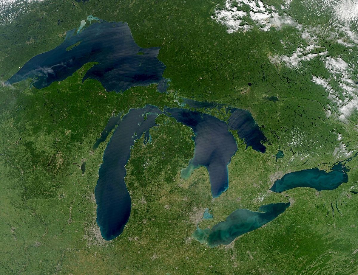
The Great Lakes Storm of 1913, historically known as the Big Blow, the Freshwater Fury, and the White Hurricane, was a catastrophic blizzard with hurricane-force winds that ravaged the Great Lakes basin from November 7 to 10, 1913. This extratropical cyclone, fueled by the convergence of warm and cold air masses over the relatively warm lake waters, is the deadliest and most destructive natural disaster in the recorded history of the Great Lakes. The storm claimed more than 250 lives, destroyed 19 ships, stranded 19 others, and caused widespread paralysis in cities like Cleveland, Ohio, and Duluth, Minnesota, while inflicting severe damage on the Canadian shoreline of southwestern Ontario. Its legacy influenced maritime safety and weather forecasting, marking a critical moment in the understanding of the immense power of freshwater storms.
Meteorological Origins and Conditions
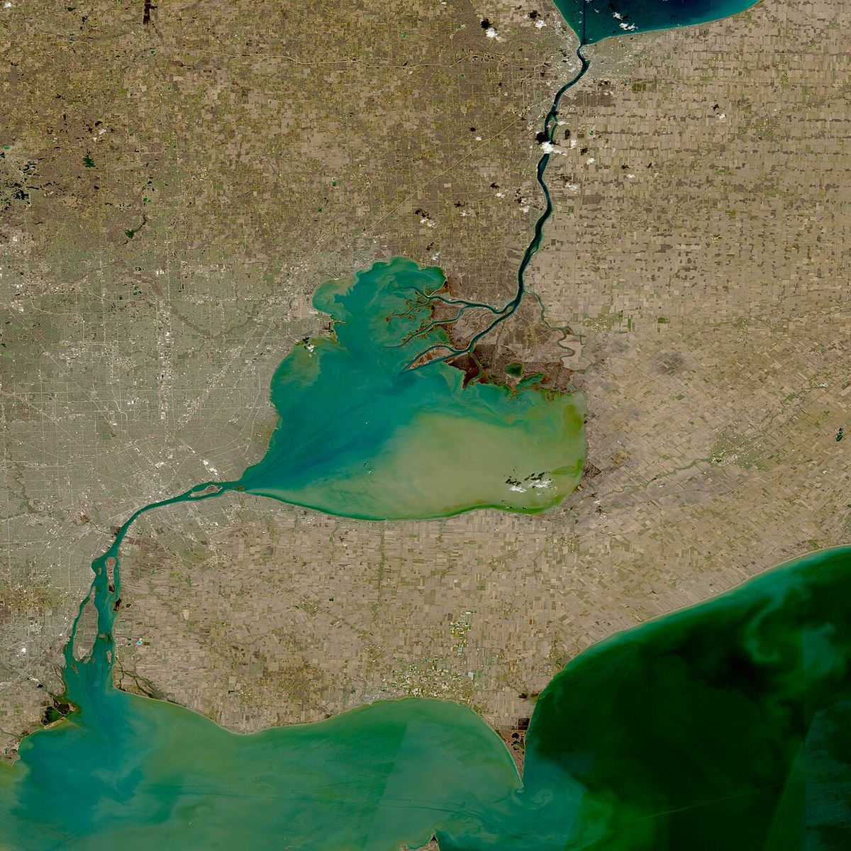
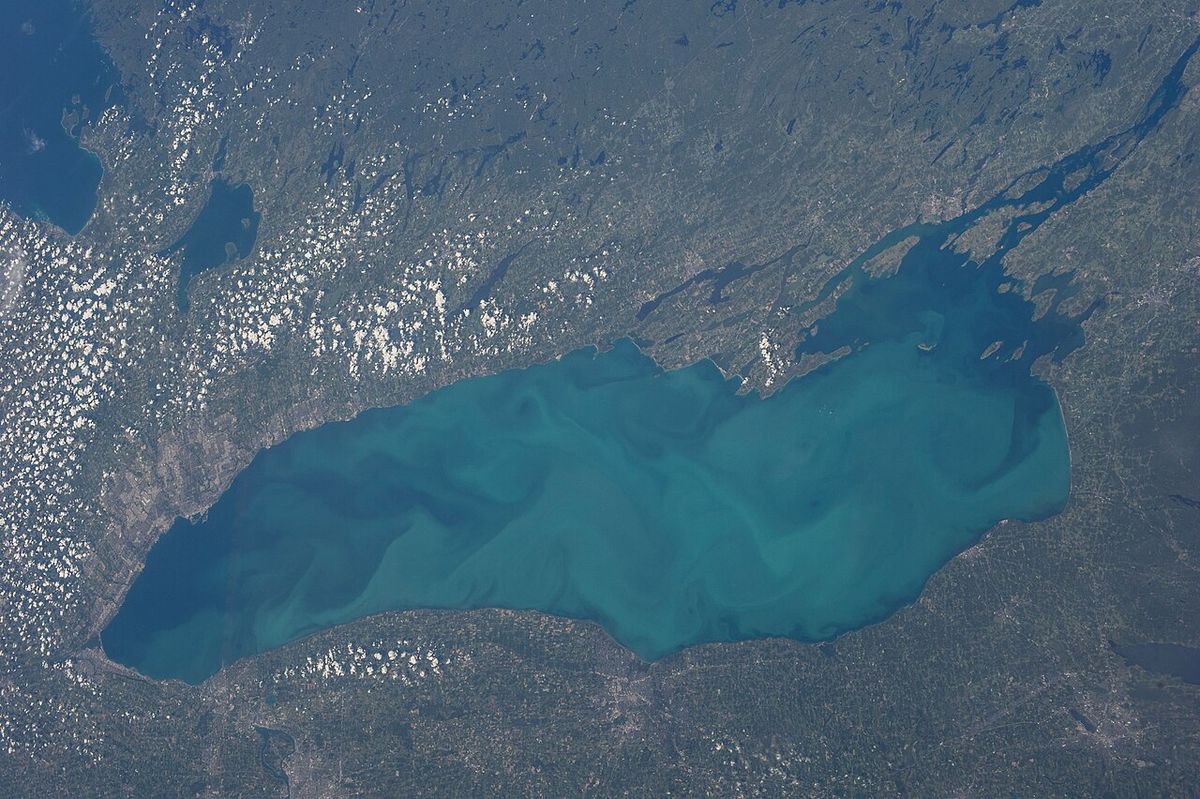
The Great Lakes Storm of 1913 was a classic and exceptionally powerful 'November gale,' a type of extratropical cyclone unique to the region. These storms form in autumn when cold, dry air from northern Canada, often carried by an Alberta clipper, collides with warm, moist air moving north from the Gulf of Mexico, known as a Colorado low. The convergence of these major weather tracks over the continent's interior generates large storm systems. The Great Lakes' waters, which retain heat late into the year, act as a potent fuel source, warming the overriding cold air and intensifying the cyclonic rotation of the storm. This process, combined with energy from the jet stream aloft, allowed the 1913 storm to maintain hurricane-force winds for extended periods over multiple lakes. The immense size of the lakes provided a fetch, or unobstructed distance for wind to travel over water, of hundreds of miles, which was crucial for the development of enormous waves. Modern simulations have corroborated contemporary observations of regular waves exceeding 35 feet, with interactions and reflections off vertical shorelines capable of producing rogue waves estimated as high as 50 feet. Compared to ocean storms, waves on the shallower Great Lakes can be steeper and closer together, offering vessels less recovery time between impacts, while the proximity to shore limits safe maneuvering room during severe weather. The phenomenon known as the 'Three Sisters,' a series of three massive rogue waves, is known to occur on the lakes and would have been a significant hazard during this storm.
Forecasting Failures and Limitations
The United States Weather Bureau, the precursor to today's National Weather Service, lacked the data, communication tools, and scientific understanding needed to predict the storm's unprecedented intensity. Surface weather observations were collected only twice daily at stations around the country, and by the time this information was compiled into hand-drawn maps, it was often hours out of date and no longer reflected actual conditions. Forecasters of the era did not yet comprehend frontal systems, then referred to as 'squall lines,' which are fundamental to understanding storm development and intensity. Crucially, they were unable to accurately predict wind direction, a key piece of information that would have allowed ship captains to seek shelter or adjust their courses to avoid the worst conditions. The Bureau's communication process was also slow. On the storm's peak day, November 9, only two routine reports were sent to Washington, D.C., at 8:00 a.m. and 8:00 p.m., meaning headquarters lacked detailed information while the storm built to its full fury over the lakes. In the aftermath, the Weather Bureau was hesitant to publicly admit its forecasting limitations because it wanted to secure higher budgets from Congress. Instead of acknowledging the gaps in knowledge, the Bureau focused on technical terminology and narrative, a stance that delayed critical investments in storm warning systems and data analysis capabilities for years.
Chronology of the Storm
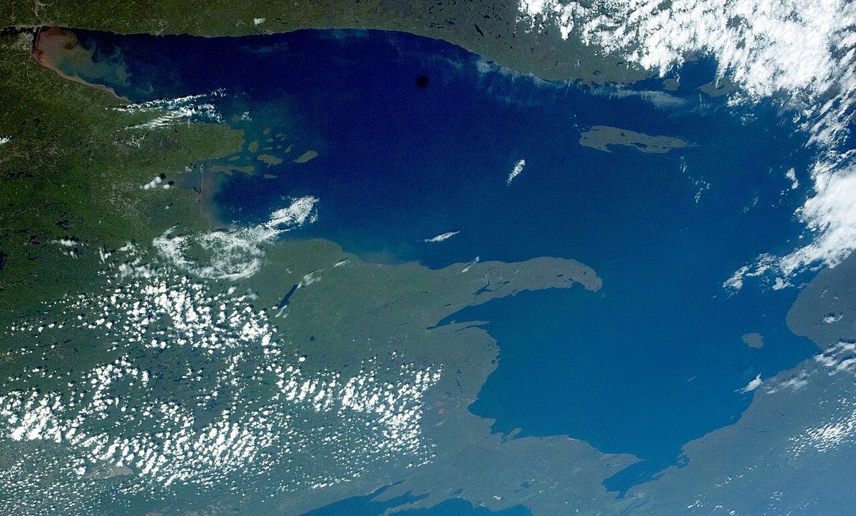
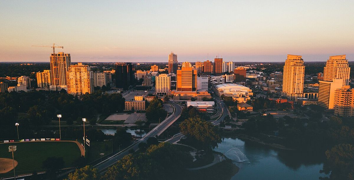
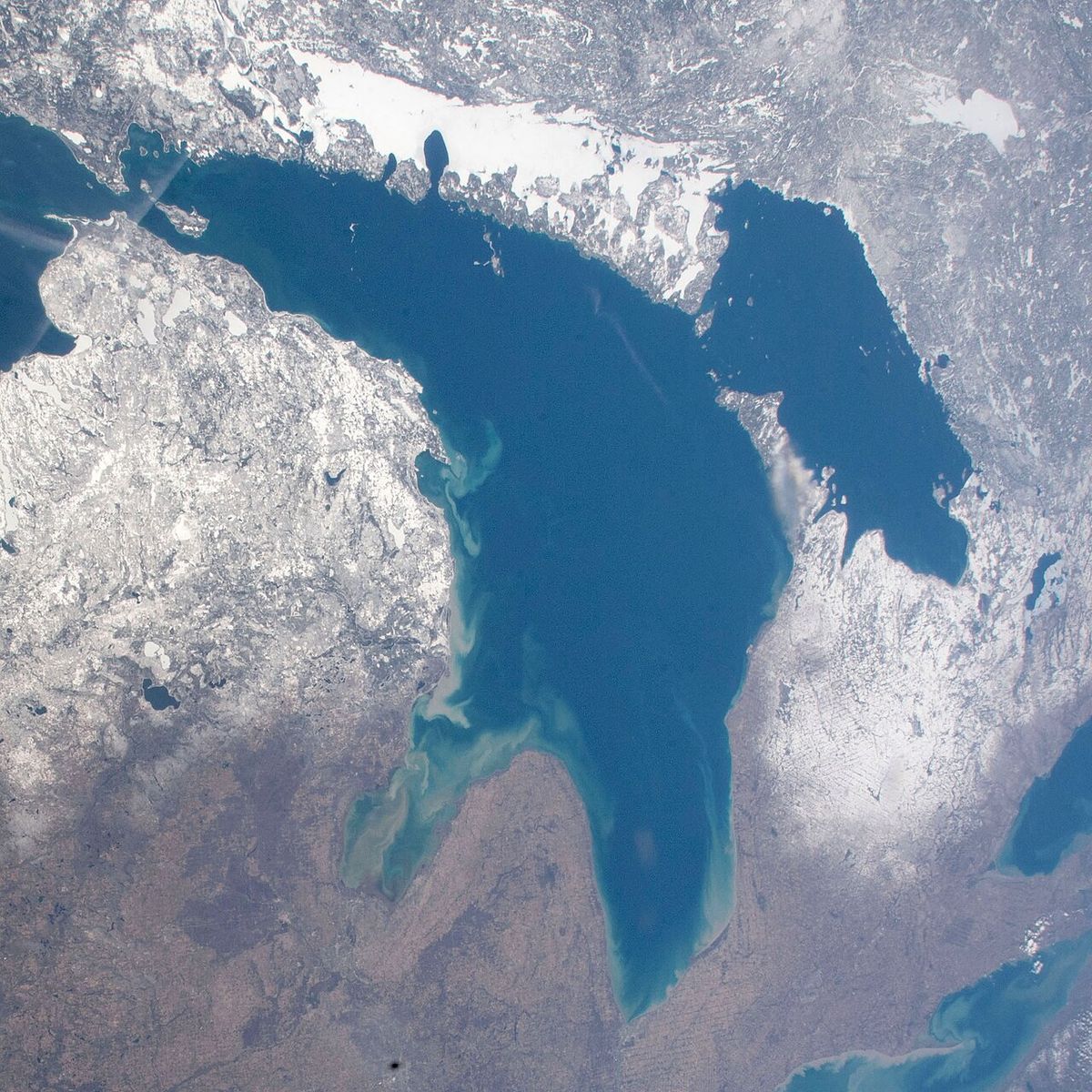
The storm's first signs appeared on Thursday, November 6, on the western side of Lake Superior, moving rapidly toward northern Lake Michigan. Initial forecasts, such as that in The Detroit News, predicted only 'moderate to brisk' winds with occasional rain for the upper lakes. Around midnight on November 6-7, the steamer Cornell, 50 miles west of Whitefish Point, ran into a sudden northerly gale that severely damaged it and lasted until November 10. By November 7, a string of low-pressure centers had consolidated into a low southwest of Lake Superior, designated 'Storm #1,' and at 10:00 a.m. storm warning flags for 55 mph southwesterly winds were hoisted at all 112 Weather Bureau signal stations on the lakes. Winds on Lake Superior had already reached 60 mph with gusts to 80 mph, and sustained speeds hit 62 mph at Duluth. On November 8, the storm was upgraded to 'severe' and centred over eastern Lake Superior, with white pennants above red and black flags indicating northwesterly gale warnings. That day, the 472-foot steel freighter L. C. Waldo was overrun by monster waves on Lake Superior approximately 45 miles northeast of Keweenaw Peninsula. An estimated 50-foot rogue wave smashed the wheelhouse, bent the compass room floor, swept the wheelsman away, and tore three walls from the Texas deck. After the ship's rudder failed, 70 mph winds drove it aground on Gull Rock, where the crew flooded the bow to hold it in place and took shelter in an unheated windlass room. The storm reached its catastrophic peak on November 9, when a second low ('Storm #2') formed over the Carolinas and Virginia and moved northwest. This system's counterclockwise rotation brought its winds into phase with the existing northwesterly gale over Lakes Superior and Huron, creating a 'weather bomb' of sustained hurricane-force winds exceeding 70 mph from 8:00 p.m. to midnight. On Lake Huron, gusts of 90 mph were reported off Harbor Beach, and the lake's north-south orientation allowed northerly winds to build immense waves moving south toward the St. Clair River. Barometric pressure in Buffalo dropped from 29.52 inHg at 8:00 a.m. to 28.77 inHg at 8:00 p.m., and Cleveland recorded its peak gust of 79 mph at 4:40 p.m. By November 10, the storm moved northeast over London, Ontario, leaving behind paralyzing lake-effect blizzards that dumped an additional 17 inches of snow on Cleveland, creating drifts up to six feet high and halting all shipping on the St. Lawrence River near Montreal.
Impact on Shipping and Major Shipwrecks
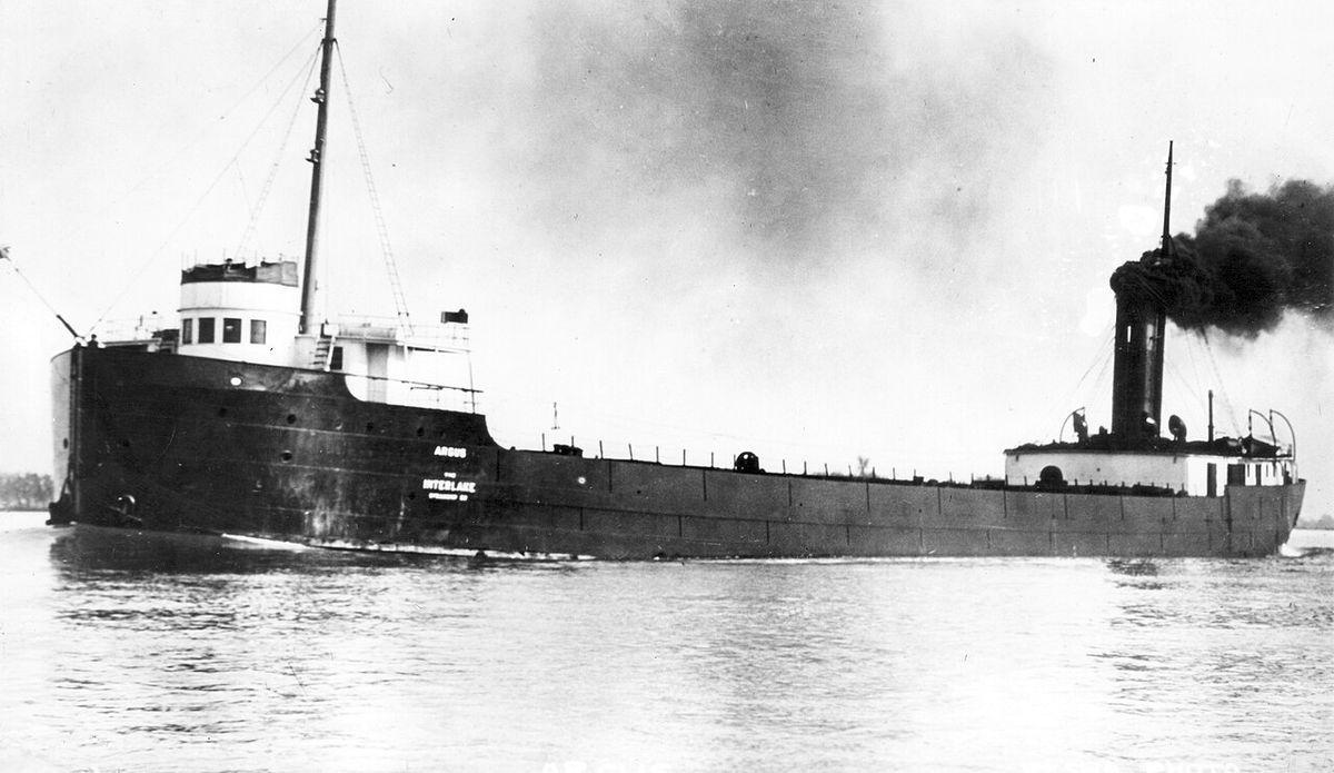
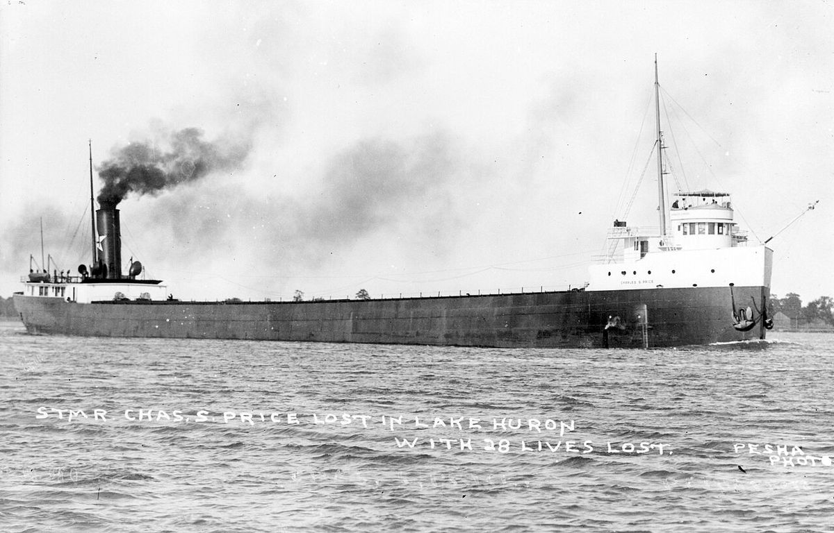
The storm inflicted its greatest toll on the shipping industry of the Great Lakes, with major wrecks occurring on all lakes except Ontario. The southern and southwestern basin of Lake Huron was the deadliest area, where ships seeking shelter were instead caught in the full force of the northerly gale. In total, 19 vessels were destroyed and another 19 were stranded, representing a massive blow to the regional economy and transportation network. The storm's immense waves, estimated by captains to be at least 35 feet high, capsized several large steel freighters, with three found overturned in Lake Huron indicating the extreme conditions. The loss of approximately 68,300 tons of vital cargo, including coal, iron ore, and grain, disrupted supply chains and had economic repercussions far beyond the lakeshore. The aftermath revealed haunting scenes, such as an unknown vessel spotted floating upside-down in about 60 feet of water near Huronia Beach, Michigan, on the afternoon of November 10. This 'mystery ship' became a subject of intense national speculation and daily front-page newspaper coverage for five days until divers identified it on November 15 as the steamer Charles S. Price. The identification was aided by Milton Smith, an assistant engineer who had avoided the voyage due to a premonition of disaster and later helped identify bodies from the wreck. Other notable incidents included the stranding of the L. C. Waldo on Lake Superior and the discovery of debris from the tugboat Searchlight, which had been lost in April 1907, cast up by the storm's waves. The human cost was staggering, with more than 250 sailors and passengers perishing in the icy waters, a figure that includes all losses across the lakes and does not account for the many individuals who narrowly escaped, such as the crew of the Waldo.
Shoreline Devastation and Urban Paralysis
The storm's fury was not confined to the lakes, as blizzard conditions and hurricane-force winds caused widespread destruction and paralysis across the surrounding shorelines of the United States and Canada. Cleveland, Ohio, was among the hardest-hit cities, receiving 22 inches of heavy snow combined with sustained winds of 62 mph and gusts to 79 mph, which created massive drifts and coated the city in ice. The city was buried under feet of ice and snow, described by The Plain Dealer on November 11 as lying in 'white and mighty solitude, mute and deaf to the outside world, a city of lonesome snowiness.' The storm shattered telephone poles, downed power lines into tangled masses, and cut electricity for several days, halting nearly all rail and streetcar traffic and stranding operators in their vehicles for two nights. William H. Alexander, Cleveland's chief weather forecaster, declared it the worst storm in the city's 43 years of official weather records, citing the depth of snow, the tremendous wind, the amount of damage, and the total unpreparedness of the people. The death toll on land was surprisingly low given the severity, with reports of one freezing death and several from accidents, including at least one death and one near-death from contact with downed power lines. In direct response to this damage, the city launched a major five-year project to move all utility cables underground, a significant infrastructure improvement. Other shoreline areas suffered greatly as well. A recently completed $100,000 breakwater at Chicago's Lincoln Park, intended for storm protection, was swept away in a few hours. The Milwaukee harbour lost its south breakwater and much of the recently renovated South Park area. Across Michigan and Ontario, electricity and telegraph communications were severed for days, four-foot snowdrifts accumulated around Lake Huron, and all shipping along the St. Lawrence River around Montreal was halted for a day and a half, isolating communities and causing hundreds of thousands of dollars in property damage beyond the losses on the water.
Aftermath, Legacy, and Safety Reforms
In the immediate aftermath, the Lake Carriers Association estimated total damages at nearly $4.8 million, a sum equivalent to approximately $162 million in 2026. The storm's shock prompted significant, though sometimes slow, reforms in maritime safety and weather forecasting. The staggering loss of life and property forced a critical re-evaluation of practices on the lakes, with post-storm conversations initially focusing on placing blame but eventually highlighting systemic weaknesses. The limitations of the Weather Bureau, though initially downplayed as the organization sought higher budgets, eventually led to investments in better data collection, faster communications via telegraph and later radio, and improved scientific understanding of storm mechanics and frontal systems. The maritime industry began to adopt stricter safety protocols, improved ship design for better stability in high waves, and placed greater emphasis on weather warnings, though tragically, similar November gales would later claim ships like the SS Edmund Fitzgerald in 1975. The storm entered regional folklore as the 'Big Blow' or 'White Hurricane,' a benchmark against which all subsequent Great Lakes storms are measured. It demonstrated the unique and formidable dangers of freshwater seas, where warm lake waters can fuel storms of oceanic ferocity within confined basins that offer little room for ships to manoeuvre. The event remains a sombre reminder of human vulnerability in the face of nature's power and a critical chapter in the environmental and economic history of the Great Lakes region, directly influencing the development of modern meteorology and marine engineering.
Notable Vessels Affected by the Storm
The storm's violence affected dozens of vessels across the Great Lakes, with outcomes ranging from total loss to dramatic survival. The following list highlights some of the most significant ships caught in the disaster, based on contemporary reports and later investigations. The steamer Cornell was severely damaged in the storm's early hours on Lake Superior, representing the initial violence of the gale. The 472-foot steel bulk freighter L. C. Waldo was driven aground on Gull Rock after a rogue wave destroyed its wheelhouse, and its crew's survival story involved flooding the ship to hold it in place. The Charles S. Price capsized and sank in Lake Huron, its upside-down hull becoming the famous 'mystery ship' that gripped the nation for days. The wreckage of the tugboat Searchlight, lost in 1907, was cast ashore by the storm's waves, a physical link to past disasters. At least three other large ships were found capsized on Lake Huron, and 19 vessels in total were destroyed, indicating many losses beyond the most famous names. These vessels represent a fraction of the fleet that encountered the storm, with many other ships, both named and unknown, sharing similar fates of destruction, stranding, or narrow escape during the four-day onslaught.
- Charles S. Price: A large steel freighter that capsized and sank in Lake Huron. Its upside-down hull, spotted on November 10, became the famous 'mystery ship' before identification on November 15.
- L. C. Waldo: A 472-foot steel bulk freighter driven aground on Gull Rock near Manitou Island in Lake Superior after a 50-foot rogue wave destroyed its wheelhouse and disabled its rudder on November 8.
- Cornell: A steamer severely damaged by a sudden northerly gale in western Lake Superior around midnight on November 6-7, nearly forced ashore and representing the storm's early violence.
- Searchlight: A tugboat lost in April 1907. Its wreckage was cast ashore by the 1913 storm's waves, a physical reminder of the lakes' enduring power.
- Multiple Unnamed Vessels: At least three other large ships were found capsized on Lake Huron, and 19 vessels in total were destroyed, indicating many losses beyond the most famous names.
Comparative Impact of Major Great Lakes Storms
The Great Lakes Storm of 1913 remains the benchmark for freshwater disasters, but it was part of a historical pattern of destructive autumn gales that have struck the region since the advent of commercial shipping. The table below places it in context with other significant November storms recorded since the mid-19th century, using data from historical accounts and the notes provided. This comparison illustrates the particular lethality and destructiveness of the 1913 event, which caused a greater loss of life, more ship destruction, and higher quantified economic damage than other notorious storms. The notes indicate at least 25 killer storms have affected the Great Lakes since 1847, but the 1913 storm is consistently cited as the most extreme. Each of these events contributed to the evolving understanding of 'November witches' and the ongoing efforts to improve forecasting, ship construction, and navigation safety on the inland seas, with lessons from 1913 directly informing protocols for decades afterward.
The Storm's Place in Great Lakes Climatology
The Great Lakes Storm of 1913 represents the most severe manifestation of a recurring meteorological phenomenon essential to the region's climatology. The 'November gale' or 'November witch' is a seasonal process where the lakes' heat storage interacts with converging continental air masses. This specific storm originated when two major storm fronts, both fueled by the lakes' warm waters, converged, creating an extratropical cyclone of exceptional power. The storm produced wind gusts of 90 mph, waves over 35 feet high, and whiteout snow squalls that reduced visibility to near zero. Winds exceeding hurricane force occurred over Lakes Superior, Michigan, Huron, and Erie for extended periods, a rarity even for severe autumn storms. The large size of the lakes provides wind fetches of hundreds of miles, which allowed these huge waves to form and build over 24 hours on Lake Huron on November 9. The storm's lowest recorded surface pressure was 968.5 hectopascals, indicating its exceptional depth and strength. Its behaviour followed the classic pattern of a 'weather bomb,' undergoing rapid intensification, particularly over Lake Huron. While similar storms have occurred, such as the 1905 Mataafa Storm and the 1975 storm that sank the Edmund Fitzgerald, the 1913 event's combination of duration, geographic scope, wind speed, wave height, and resultant damage remains unmatched in the historical record, solidifying its status as the definitive example of Great Lakes meteorological violence.
Questions about Great Lakes Storm of 1913
Why is the Great Lakes Storm of 1913 called the 'White Hurricane'?
The storm earned the name 'White Hurricane' because it combined the sustained hurricane-force winds of a tropical cyclone with the intense blizzard conditions of a winter storm. Winds exceeded 70 mph for extended periods over four of the five Great Lakes, with gusts reported up to 90 mph off Harbor Beach, which meets the threshold for a Category 1 hurricane. Simultaneously, the storm dumped massive amounts of snow, with Cleveland receiving 22 inches and winds creating whiteout snow squalls that blinded sailors and paralyzed cities. This fusion of extreme wind and snow made it uniquely destructive, akin to a hurricane occurring over land and ice, hence the evocative name that distinguishes it from typical autumn gales.
How many people died in the Great Lakes Storm of 1913?
The Great Lakes Storm of 1913 killed more than 250 people, making it the deadliest natural disaster in the recorded history of the lakes. The vast majority of these fatalities were sailors and passengers aboard the 19 ships that were destroyed or capsized, particularly on the southern end of Lake Huron where vessels were seeking shelter. On land, the death toll was remarkably low considering the storm's severity, with reports from cities like Cleveland citing only one confirmed freezing death plus some additional deaths from accidents and downed power lines. The high maritime death toll highlighted the extreme danger faced by the shipping industry during late-season storms when crews were often caught far from safe harbour.
What was the biggest ship lost in the storm?
Among the largest vessels lost was the steel bulk freighter Charles S. Price, which capsized and sank in Lake Huron. Its overturned hull was spotted after the storm, leading to a period of mystery and daily newspaper headlines before divers identified it. Another major vessel, the 472-foot L. C. Waldo, was not lost but was catastrophically damaged and driven aground on Gull Rock in Lake Superior after a rogue wave estimated at 50 feet high smashed its wheelhouse, bent steel flooring, and disabled its steering. The storm destroyed 19 ships in total, many of which were substantial freighters carrying thousands of tons of iron ore, coal, or grain, representing a significant portion of the Great Lakes fleet at the time.
Could the Great Lakes Storm of 1913 happen again?
Meteorologically, similar 'November gale' conditions occur periodically over the Great Lakes when cold Arctic air collides with warm Gulf air over the warm lake waters. However, the specific intensity, track, and convergence of two storm systems as seen in 1913 was exceptional. The likelihood of a storm causing an identical level of destruction today is greatly reduced due to major advances in technology and safety. Modern weather forecasting, satellite monitoring, radar, and rapid communication allow for earlier and more accurate warnings issued directly to vessels. Ship design, construction standards using steel, navigation technology like GPS, and strict safety protocols have all improved significantly since 1913, making vessels more resilient and better able to avoid the worst conditions or reach shelter.
What were the main failures of the weather forecast for the 1913 storm?
The United States Weather Bureau failed to predict the storm's intensity due to several critical limitations rooted in the technology and science of the time. Data collection was sparse, with surface observations taken only twice a day at widely scattered stations, making forecasts hours out of date by the time hand-drawn maps were produced. Scientific understanding was lacking, as forecasters did not yet comprehend frontal systems or 'squall lines' and had no ability to model atmospheric dynamics. Most crucially, they could not predict wind direction shifts, which is vital for maritime course planning. Communication was also slow. On the peak day, only two routine reports were sent to Washington, D.C., delaying a centralized understanding of the escalating crisis. These failures meant that ship captains received inadequate warning and sailed into what they believed, based on Bureau forecasts, would be a typical 'moderately severe' autumn gale.
How did the storm affect the city of Cleveland?
Cleveland was devastated and paralyzed by the storm, receiving 22 inches of heavy snow combined with sustained winds of 62 mph and gusts to 79 mph, which created massive drifts up to six feet high and coated the city in ice. The electrical grid collapsed, cutting power for several days and severing telephone and telegraph communications, leaving the city 'mute and deaf to the outside world.' Downed power lines lay in tangled masses, and broken telephone poles littered the streets. Nearly all rail and streetcar traffic was halted, stranding operators in their vehicles for two nights where they relied on food from local residents. In direct response to the damage and deaths from fallen lines, the city launched a major five-year project to move all utility cables underground. The storm's chief forecaster in Cleveland, William H. Alexander, declared it the worst the city had experienced in 43 years of official weather records.
Sources and further reading
- Great Lakes Storm of 1913 (Wikipedia)
- Great Lakes Storm of 1913 (thecanadianencyclopedia.ca)
- The Great Lakes “White Hurricane” of 1913 (stjosephmuseum.ca)
- The Great Lakes Storm of 1913: Michigan museums ... (greatlakesecho.org)
- Tag: The Great Lakes Storm of 1913 - thehomeplaceweb (thehomeplaceweb.com)
Checked by the Your Space Hamilton desk. Last updated 2026-10-22.