1985 United States-Canada tornado outbreak
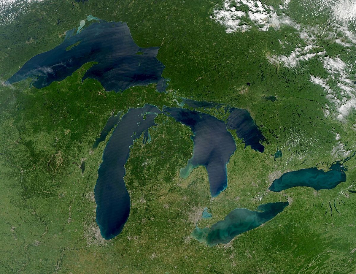
The 1985 United States-Canada tornado outbreak, known in Canada as the Barrie tornado outbreak, was a catastrophic severe weather event that struck the Great Lakes region on May 31, 1985. It produced 43 confirmed tornadoes across Ohio, Pennsylvania, New York, and Ontario, resulting in 90 fatalities and over 875 injuries. This outbreak remains the deadliest tornado event of the 1980s and the most intense outbreak ever recorded in the northeastern United States and southern Ontario. Its impact led to significant changes in severe weather forecasting and public awareness in Canada.
Meteorological Conditions
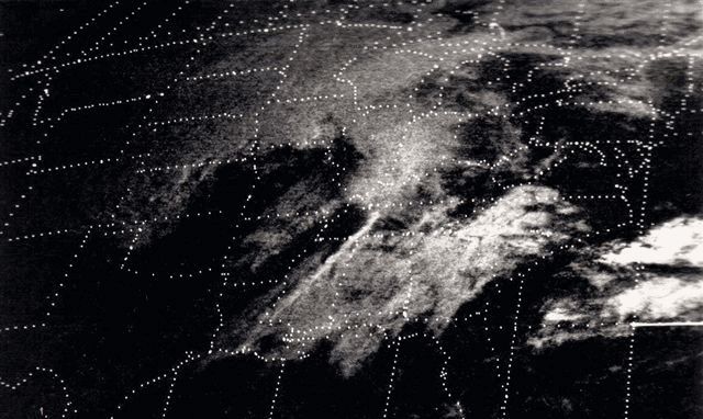
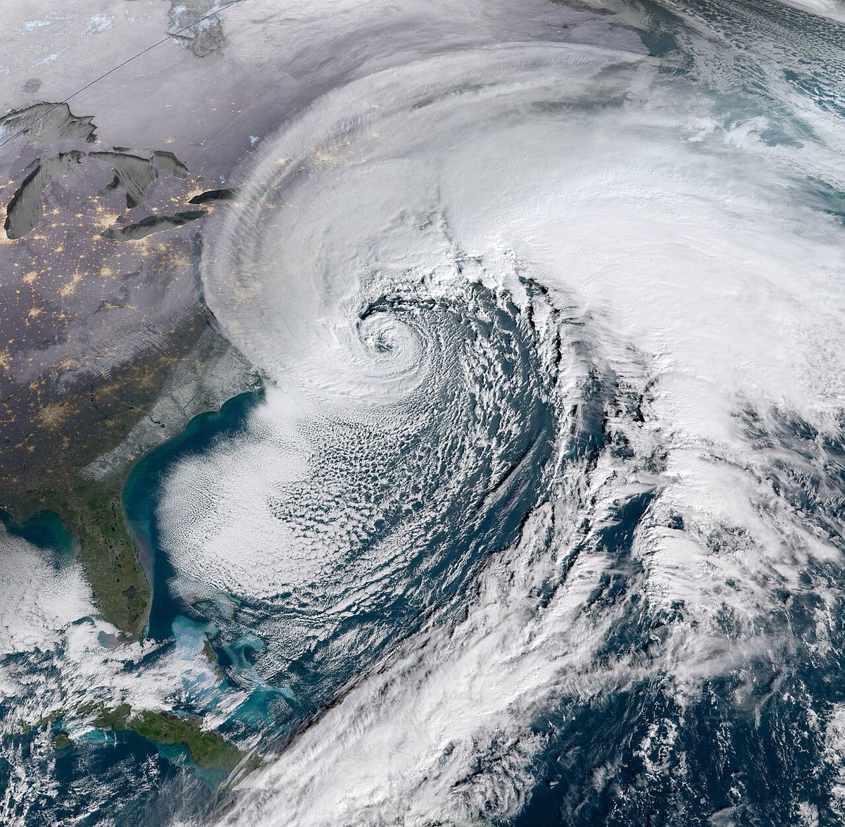
The outbreak was driven by an exceptionally potent late-spring weather system. An unseasonably deep low-pressure centre, measured at 984 hPa, tracked from the Midwestern United States into the Upper Peninsula of Michigan. Ahead of this system, a surge of very warm, moist air pushed temperatures into the upper 20s Celsius across southern Ontario and the Ohio-Pennsylvania border region, with dew points also unusually high. This created a highly unstable atmosphere, with surface-based lifted indices around minus six, indicating a strong potential for severe thunderstorm development. Significant directional wind shear and high helicity values in the warm sector further set the stage for rotating supercell thunderstorms. A critical factor was a stable air mass, or 'lid', at about 2,000 feet that suppressed storm formation for much of the day. This lid finally eroded in the late afternoon as a trailing cold front approached, acting as the trigger for explosive thunderstorm development. The first severe thunderstorms had already occurred in the Midwestern U.S. on May 30, associated with this same frontal system. Meteorologists at the National Weather Service office in Pittsburgh noted the morning atmospheric sounding was exceptionally conducive to severe weather, yet no storms had formed by mid-afternoon, leading to a tense forecasting environment.
The Outbreak in Ontario
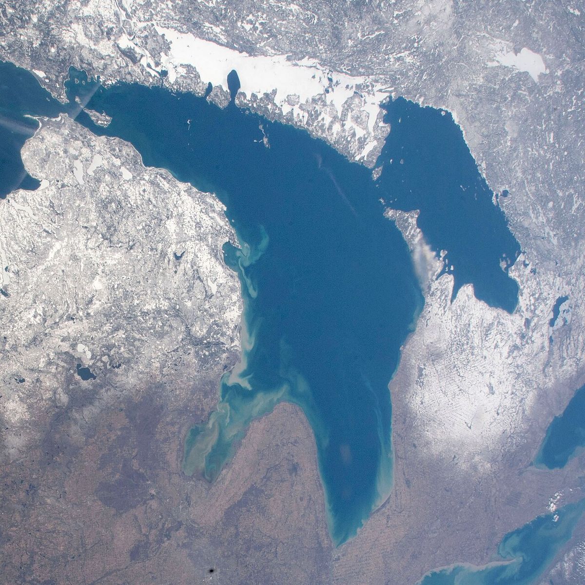
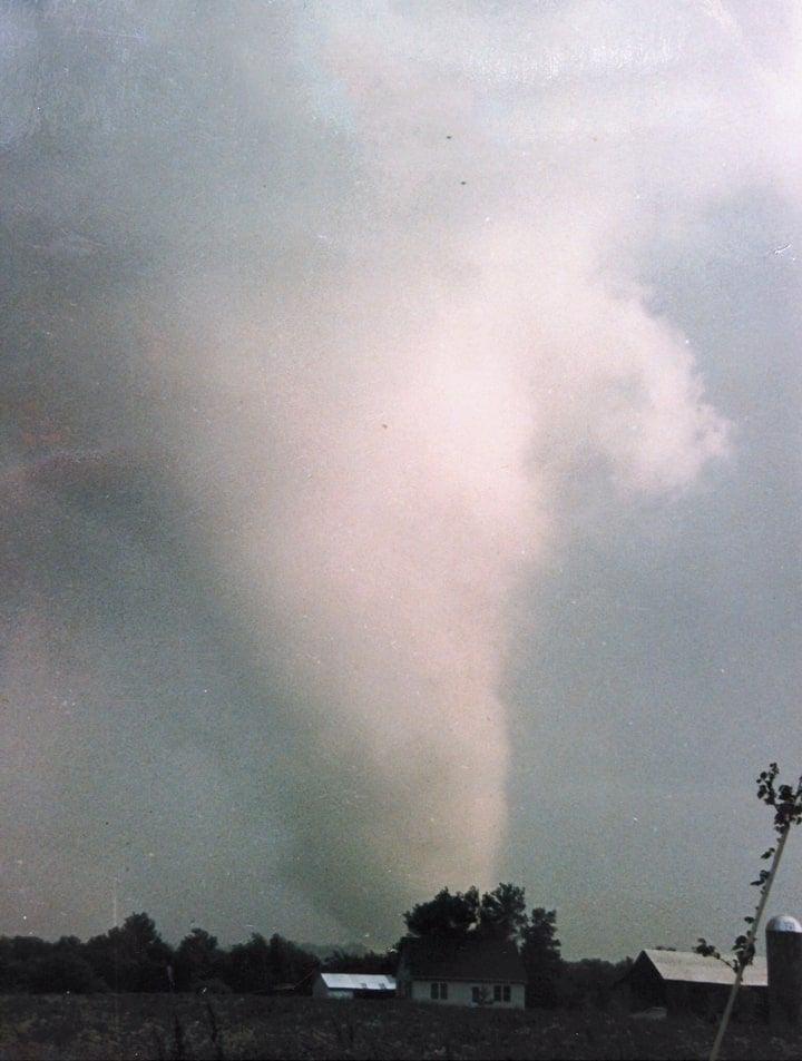
The tornado outbreak in Ontario began with severe thunderstorm activity in the southwest during the morning hours, including a possible tornado near Leamington and golfball-size hail. The main tornadic activity commenced in the afternoon as the cold front crossed Lake Huron. Environment Canada had issued a special weather statement early in the day and a severe thunderstorm warning for Bruce County by 2:25 p.m. EDT. The first confirmed tornado, an F2, touched down briefly near Lion's Head north of Wiarton around 2:50 p.m. before moving over Georgian Bay and dissipating. This was followed by the development of two prolific supercell thunderstorms, one east of Clinton and another near Walkerton, which would produce the most devastating tornadoes in Canadian history to that date. These storms moved rapidly northeastward, spawning multiple tornadoes across Dufferin, Simcoe, and York counties over the next several hours. The storms were characterised as high-precipitation supercells, which made the tornadoes difficult to see as they were often cloaked in heavy rain and dust. This visual obscurity, combined with the sudden onset of the storms after a deceptively sunny morning, contributed to the danger. The tornadoes struck during the late afternoon and early evening, a time when many people were commuting or finishing work. A widespread power outage in Barrie, caused by the Grand Valley tornado damaging hydro transformers southwest of the city, led many workplaces to dismiss employees 30 to 45 minutes before the Barrie tornado hit, an action that likely prevented a higher death toll.
Major Canadian Tornadoes
The Grand Valley-Tottenham Tornado This tornado, which first touched down near Arthur around 4:15 p.m., carved the longest continuous damage path in recorded Canadian history. It quickly intensified to violent F4 strength as it struck the community of Grand Valley just before 4:30 p.m., with a damage path widening to approximately 200 metres. The tornado destroyed approximately sixty structures in the town, including the Grand Valley Public Library, three churches such as the Grand Valley Church of Christ, and many masonry-style homes. Two people were killed in Grand Valley. An elderly visitor from Scotland died in a destroyed home and a man was killed in his pickup truck on a farm. Surveyors noted classic F4 damage on the north side of Amaranth Street, with the library roof found 200 metres away on a house. The tornado continued eastward, brushing the northern outskirts of Orangeville and near-completely sweeping the southern portion of the Mono Shopping Plaza, injuring 67 people. It struck south of Tottenham around 5:00 p.m., destroying about fifty recently built buildings and killing two more individuals, an elderly man crushed under a shed and a woman in her home. The tornado crossed Highway 400 and passed between Newmarket and Bradford before lifting west of Mount Albert at 5:25 p.m. after a path of approximately 115 kilometres. This record-breaking track length remains unchallenged as of 2025. Early maps incorrectly extended the path toward Peterborough, but later analysis confirmed the supercell was cyclic and produced two separate F2 tornadoes after the main tornado dissipated.
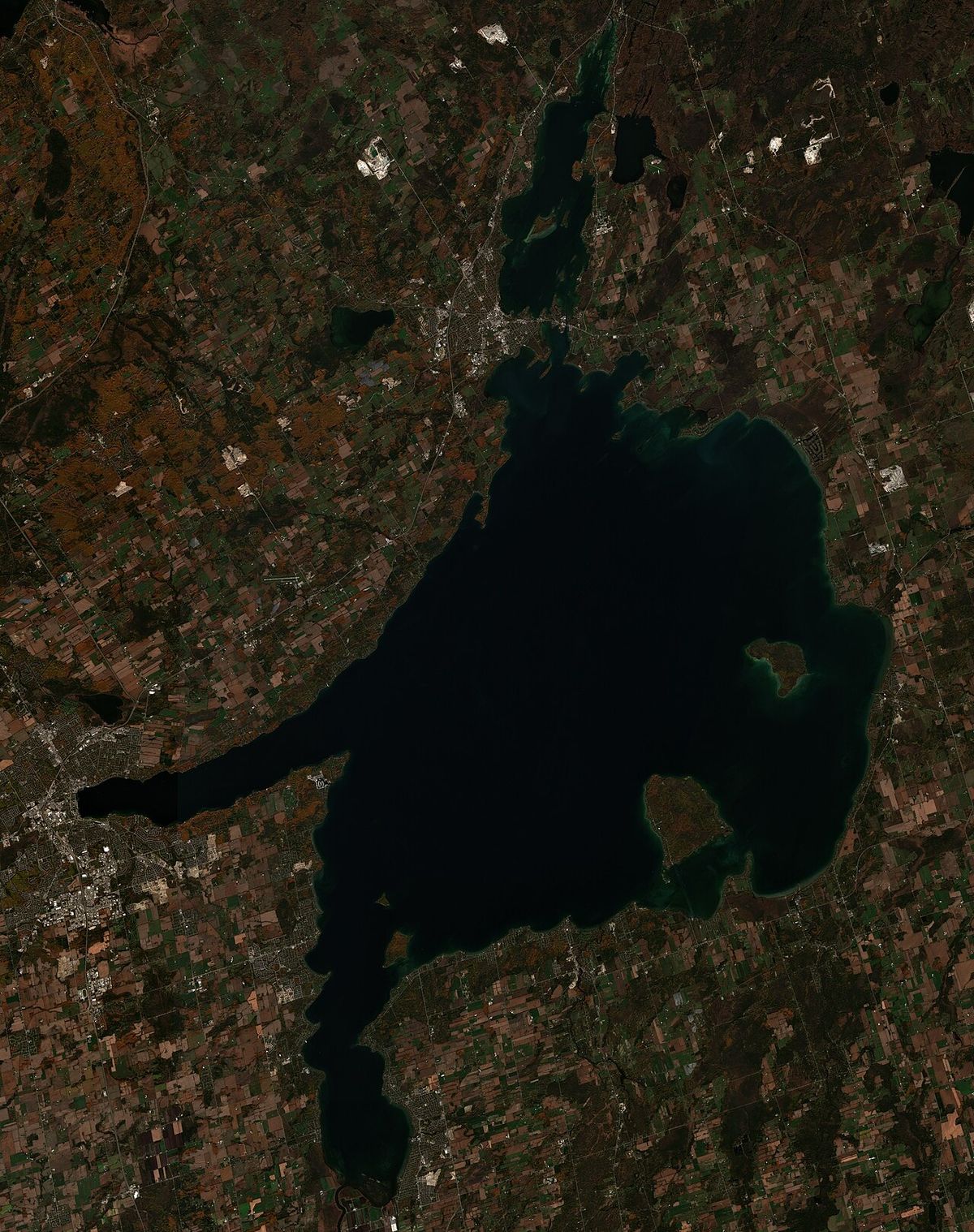
The Barrie Tornado Forming in Essa Township southwest of Barrie, this intense tornado entered the city's southern neighbourhoods shortly before 5:00 p.m. It produced a path of extensive F3 and localized F4 damage approximately 10 kilometres long and up to 600 metres wide initially. The tornado first obliterated a pine tree plantation, snapping 10-metre trees at the 2-metre level. It then devastated a residential subdivision near Crawford Street and Patterson Road, where five people were killed, often in homes without basements that collapsed after being pushed off their foundations. The tornado hit the Molson Park industrial complex, killing one person at a tire retreading facility and damaging or destroying at least fifteen businesses, with steel I-beams twisted and wood splinters embedded in concrete. It crossed Highway 400 at the Essa Road interchange, tossing vehicles and wrapping guardrails around poles, killing a man sucked from his parked car. The storm tore through the Allandale subdivision, then the Tollendal Woods and Minets Point area, killing a boy on a bicycle and tossing more than thirty boats with their concrete moorings into Lake Simcoe. The tornado moved over Kempenfelt Bay as a waterspout before dissipating. In total, eight people died in Barrie, 155 were injured, and as many as 300 homes were damaged or destroyed.
- Lion's Head Tornado: F2, brief touchdown near Wiarton at 2:50 p.m.
- Hopeville Tornado: F3, 17 km path south of Hopeville starting around 3:45 p.m., causing localized F3 damage.
- Corbetton/Mansfield Tornado: F3, approximately 40 km path in northern Dufferin County, damaging homes in the Terra Nova and Mansfield area. It is disputed whether this was one tornado or two.
- Angus Area Touchdown: Brief suspected touchdown near Canadian Forces Base Borden in the Blackdown Park training area.
Major United States Tornadoes
The outbreak was equally devastating across the border, with the most violent tornado striking eastern Ohio and western Pennsylvania. This single tornado began near the Ravenna Arsenal in Portage County, Ohio, around 6:30 p.m. EDT. It rapidly intensified as it moved through Newton Falls, causing F3 to F4 damage to nearly 400 homes, though no one was killed there due to effective warnings and a tornado siren. The tornado reached its peak F5 intensity as it tore through the north side of Niles, Ohio. It completely leveled the Niles Park Plaza shopping center, partially sweeping it away and buckling steel girders, with several fatalities occurring at that location. Well-anchored homes were swept away, a retirement home and skating rink were leveled, and large 34,000-kilogram metal petroleum storage tanks were torn from their anchors and thrown, with one found 55 metres away in the middle of a road. A steel-frame trucking plant was obliterated and partially swept away, with its girder frame mangled into a pile, and pavement was scoured from a parking lot at Wheatland Sheet and Tube. The tornado continued through Hermitage, damaging or destroying 71 homes and the town's airport, with a plane wing found 16 kilometres away in Mercer, before finally dissipating. This tornado killed 18 people, injured 310, and remains the easternmost F5/EF5 tornado ever recorded in the United States, the only F5 in Pennsylvania history, and the last F5 in Ohio to date.
Another significant F4 tornado struck Erie County, Pennsylvania, around 5 p.m., moving from Crawford County into Erie County near Pennside. It devastated the town of Albion, completely destroying a ten-block area and killing nine people there, plus three more in Cranesville, for a total of twelve fatalities and 82 injuries. A total of 309 buildings were destroyed by this tornado. A second F4 in Erie County touched down between Wattsburg and Corry, clipping Warren County before crossing into Chautauqua County, New York, and dissipating near Panama after a 45-kilometre path with no fatalities. A separate, massive high-end F4 tornado tracked for 111 kilometres through the dense, uninhabited forests of the Moshannon and Sproul State Forests in central Pennsylvania, described by researcher Thomas Grazulis as one of the most impressive tornadic events of the 20th century. The outbreak in the United States lasted into the early morning hours of June 1, with the final tornado reported near Tobyhanna, Pennsylvania, just after midnight.
Casualties and Damage
The human toll of the outbreak was severe, with 90 people killed and at least 875 injured across the two nations. In Canada, all 14 fatalities occurred in Ontario, with eight in Barrie, two in Grand Valley, two south of Tottenham, one near Lion's Head, and one in the Hopeville area. The United States suffered 76 fatalities, primarily in Pennsylvania and Ohio, with the single deadliest tornado causing 18 deaths. Property damage was extensive, exceeding $600 million (USD). In Ontario alone, hundreds of homes and businesses were destroyed, hydro transmission lines from the Bruce Nuclear Generating Station to the Greater Toronto Area were severed, and large quantities of debris from Barrie were later found floating in Kempenfelt Bay. The destruction in towns like Wheatland, Pennsylvania, was described by official National Weather Service Storm Data as resembling a bombed-out battlefield. The outbreak was the deadliest in the United States since the 1974 Super Outbreak, a mark that stood until the 2011 Super Outbreak. The event also caused numerous other damaging thunderstorms with large hail, including hail up to the size of tennis balls reported from Holstein to Mount Forest in Ontario.
Forecasting and Warnings
The forecasting challenge for this event was notable. The Storm Prediction Center (then known as the National Severe Storms Forecast Center) had issued a Moderate Risk outlook for severe storms and tornadoes. A Tornado Watch (Number 211) was issued at 4:25 p.m. EDT for parts of eastern Ohio, western Pennsylvania, southwest New York, and adjacent waters, valid until 11:00 p.m. The watch area extended from 70 statute miles southwest of Akron, Ohio, to 20 miles south of Rochester, New York. Forecasters at the Pittsburgh Weather Service Forecast Office noted the extreme instability present on the morning atmospheric sounding but were puzzled by the lack of thunderstorm activity until the lid eroded in the late afternoon. The event occurred during a transition period in the U.S. National Weather Service structure, with Forecast Offices (WSFOs) like Pittsburgh having zone forecast responsibility and satellite Weather Service Offices (WSOs) like Erie and Youngstown having local warning duties. Technical issues, such as the Youngstown WSO radar frequently failing during thunderstorms, added complexity to the warning process. In Canada, Environment Canada's warnings began with a special weather statement in the morning, followed by specific severe thunderstorm warnings as cells developed.
Aftermath and Historical Significance
The 1985 outbreak had a lasting impact on severe weather preparedness and meteorology in both countries. It demonstrated the vulnerability of the Great Lakes region to violent tornadoes, challenging the perception that such events were confined to the traditional 'Tornado Alley' of the central United States. As noted in a 1985 NOAA survey report, a key lesson was that under the proper atmospheric conditions, major tornadoes can occur irrespective of location or terrain. The event highlighted the life-saving importance of timely warnings and public readiness, as evidenced by the zero fatalities in Newton Falls, Ohio, where sirens were activated. In Canada, the outbreak led to increased scrutiny of building codes, particularly regarding basement construction and anchorage, and spurred advancements in severe weather detection and communication. The Northern Tornadoes Project and other research initiatives have since used events like this to improve understanding and documentation of Canadian tornadoes. The outbreak's historical significance is cemented by several enduring records. It remains the largest and most intense tornado outbreak ever recorded in the northeastern U.S. and southern Ontario region. The Grand Valley-Tottenham tornado holds the Canadian record for longest continuous track. The Newton Falls-Niles/Wheatland-Hermitage tornado is the easternmost F5 on record in the U.S. and Pennsylvania's only F5. The event has been the subject of numerous publications, including 'Tornado Town' focusing on Grand Valley and 'Ontario Tornado' from the Barrie Banner, ensuring the stories and lessons of that day are preserved.
| Key Metric | Figure | Notes |
|---|---|---|
| Total Tornadoes | 43 | 14 in Ontario, 29 in U.S. |
| Fatalities (Total) | 90 | Deadliest outbreak of the 1980s. |
| Fatalities (Canada) | 14 | All in Ontario. |
| Fatalities (U.S.) | 76 | Highest U.S. toll between 1974 and 2011. |
| Injuries | >875 | At least 155 in Barrie, 310 from the Ohio/PA F5. |
| Maximum Rating | F5 | Only F5 in U.S. in 1985. Easternmost on record. |
| Longest Track (CA) | 115 km | Grand Valley-Tottenham tornado, a national record. |
| Longest Track (U.S. Outbreak) | 111 km | F4 through Pennsylvania state forests. |
Questions about 1985 United States-Canada tornado outbreak
How many people died in the 1985 tornado outbreak in Canada?
Fourteen people were killed in Canada as a result of the tornado outbreak on May 31, 1985. All fatalities occurred in Ontario, with the majority concentrated in the Barrie area, where eight people died. Two people were killed in Grand Valley, two south of Tottenham, and one each in the Hopeville and Lion's Head areas. These deaths resulted from structural collapses and trauma from flying debris, often in homes without basements. The power outage caused by the storm southwest of Barrie led to early dismissals from work, which likely prevented an even higher death toll in the city.
What was the strongest tornado in the 1985 outbreak?
The strongest tornado was the violent F5 that tracked from Newton Falls, Ohio, through Niles, Ohio, and into Wheatland and Hermitage, Pennsylvania. It was the only F5 tornado in the United States in 1985 and remains the easternmost F5/EF5 tornado ever recorded in the country. This tornado killed 18 people and caused catastrophic damage, including leveling and partially sweeping away the Niles Park Plaza shopping center, obliterating most of the town of Wheatland, and throwing 34,000-kilogram petroleum tanks. It is also the last F5 tornado to occur in Ohio to date.
Why is the 1985 outbreak significant for Canadian weather history?
The outbreak is highly significant as it demonstrated that violent, long-track tornadoes can occur in southern Ontario and the Great Lakes region. It produced the longest-tracked tornado in Canadian history, the Grand Valley-Tottenham tornado, with a path of 115 kilometres. The event caused the highest number of tornado-related fatalities in Ontario in decades and led to greater public and scientific attention on tornado risks in Canada. It influenced improvements in warning systems, building codes, and meteorological research, with studies of the event contributing to the work of projects like the Northern Tornadoes Project based at Western University.
How many tornadoes touched down in Ontario on May 31, 1985?
Fourteen tornadoes were confirmed in Ontario during the outbreak. This included the record-breaking F4 Grand Valley-Tottenham tornado, the devastating F4 Barrie tornado, an F3 near Hopeville, an F3 in the Corbetton and Mansfield area, an F2 near Lion's Head, and several other touchdowns. The 14 tornadoes in Ontario were part of a total of 43 that occurred across the entire outbreak region in the United States and Canada. Of the 43 tornadoes, an astounding 28 were rated F2 or stronger.
What were the weather conditions that led to such a severe outbreak?
The outbreak was fueled by an unusually deep 984 hPa low-pressure system moving from the Midwest into Michigan, which drew very warm, moist air northward into the Great Lakes, with temperatures reaching 29°C in southern Ontario and 31°C in Cleveland. This created a highly unstable atmosphere with surface-based lifted indices around -6 and significant wind shear, ideal for supercell thunderstorms. A critical 'lid' of stable air at about 2,000 feet initially suppressed storm development until a strong cold front acted as a trigger in the late afternoon. The combination of extreme instability, copious moisture, and shear allowed multiple high-precipitation supercells to rapidly develop and produce tornadoes.
What records from the 1985 outbreak still stand today?
Several key records from the outbreak remain unbroken as of 2025. The Grand Valley-Tottenham tornado maintains the record for the longest continuous tornado track in Canadian history at 115 kilometres. In the United States, the Newton Falls-Niles/Wheatland-Hermitage tornado is still the easternmost F5/EF5 tornado ever documented and Pennsylvania's only F5. The overall outbreak remains the deadliest tornado event in Pennsylvania history and the most intense outbreak to hit the northeastern U.S. and southern Ontario region. It was also the deadliest U.S. outbreak between the 1974 and 2011 Super Outbreaks.
Sources and further reading
- 1985 United States-Canada tornado outbreak (Wikipedia)
- May 31, 1985 Tornado Outbreak: 35th Anniversary (weather.gov)
Checked by the Your Space Hamilton desk. Last updated 2026-10-25.