Westboro, Ottawa
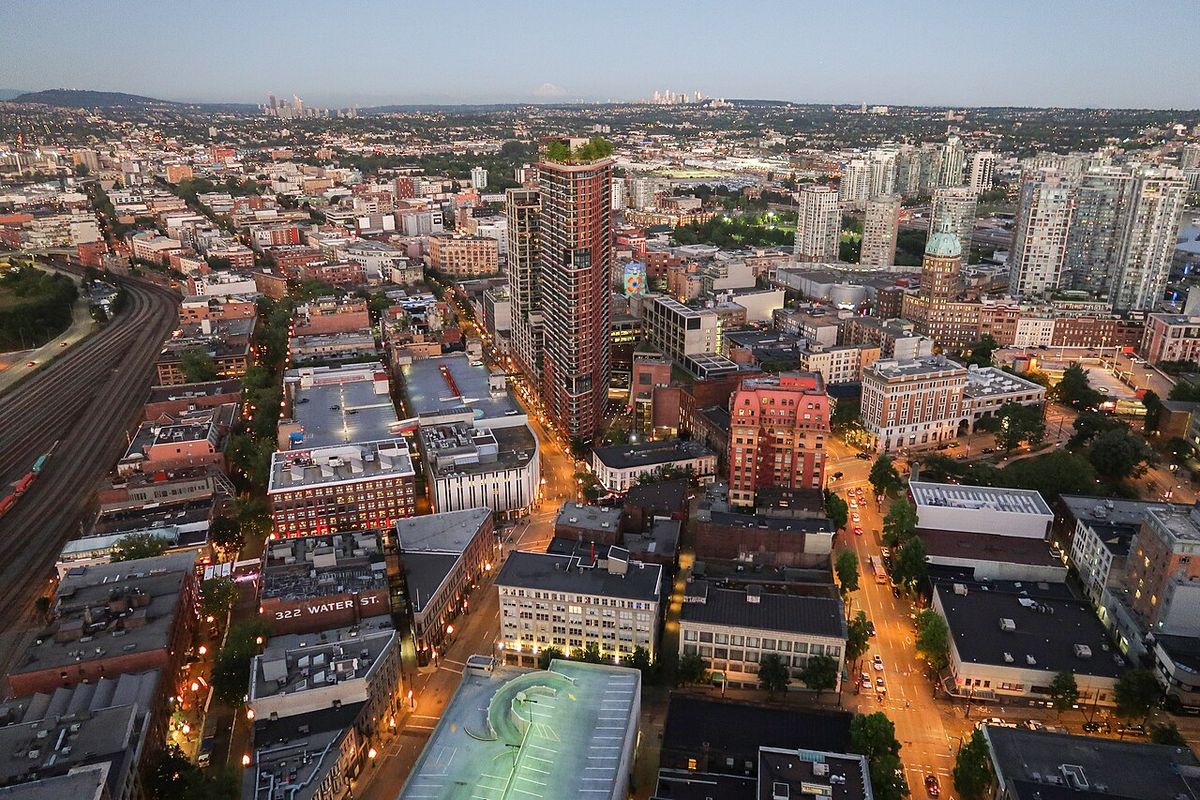
Westboro, often referred to as Westboro Village, is a neighbourhood in the west end of Ottawa, Ontario, located along the Ottawa River. Historically a police village before being annexed by Ottawa in 1949, it is known for its commercial strip along Richmond Road and its village-like atmosphere. The area has undergone significant gentrification since the 2000s, becoming a hub for outdoor retailers, boutiques, and restaurants. With a population of 22,725 as of the 2016 Census, Westboro is a thriving residential community with strong historical roots and contemporary appeal.
History and Origins
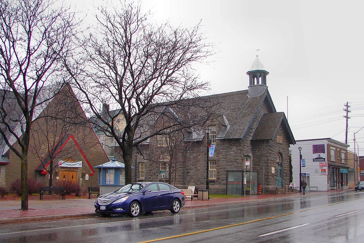
The neighbourhood of Westboro began its development in the late nineteenth century, promoted through flyers that encouraged people to 'Move to Westboro' and advertised views of the distant Laurentian Mountains, now known as the Gatineau Hills. Its early growth was tied to its location along the Macadam Road to Bells Corners, which is known today as Richmond Road. This road became and remains the commercial heart of the village-like area, which was once the centre of the old Nepean Township. The old Nepean Township Town Hall on Richmond Road housed the bell that later became the symbol of the former city of Nepean.
Westboro existed as a police village from 1903 until it was formally annexed by the City of Ottawa in 1949. An Ottawa streetcar line, which ran along what is now a narrow grass park on Byron Avenue, connected the area to the city, bringing residents to what was once considered cottage country. Many cottage-style residences from this era still exist, particularly north of Scott Street near the Ottawa River. The integration into Ottawa led to the renaming of several streets to avoid duplication, including the change from Main Street to Churchill Avenue in honour of Winston Churchill after World War II.
Another street was originally named River Road since it bisected the neighbourhood and led down to the beach on the Ottawa River. That street was renamed Roosevelt Avenue for similar reasons post World War II. The Westboro War Memorial Association erected a memorial cenotaph in the park between Richmond Road and Byron Avenue. Unveiled on June 8, 1985, the cenotaph is dedicated to the memory of the fallen members of Westboro and surrounding area who made the supreme sacrifice in The Great War, The Second World War, and the Korea War.
Geography and Boundaries
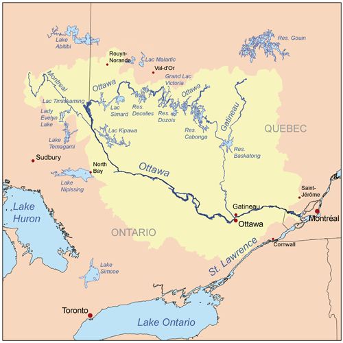
Westboro is situated along the Ottawa River, which forms its northern border, while Island Park Drive defines its eastern boundary. The community association boundaries, as defined by the Westboro Community Association, are slightly different, using the Transitway to the north, Tweedsmuir Avenue to the east, Carling Avenue to the south, and Denbury Avenue to the west. This definition excludes the adjacent neighbourhood of Westboro Beach, which has its own community association and is located immediately north of Westboro, west of Island Park Drive. The area is part of a larger network of neighbourhoods in Ottawa's west end, with its central village core located north of Richmond Road.
The surrounding residential areas extend southward towards Carling Avenue, creating a mix of housing and commercial zones. The proximity to the Ottawa River provides access to cycling trails and whitewater rapids, contributing to the neighbourhood's outdoor recreational appeal. The geographic positioning has made it a desirable location for residential development and commercial activity for over a century. Its grid-like street network, influenced by the old streetcar line, facilitates easy navigation for residents and visitors alike.
Architecture and Housing
The housing stock in Westboro is predominantly composed of homes built between 1900 and 1960, reflecting its development period as a streetcar suburb and later a mature neighbourhood. A significant majority, 71 percent, of these houses are detached single-family homes. The architectural styles range from early twentieth-century cottages and bungalows to larger mid-century residences, many of which retain their original character. This mix contributes to the area's established, leafy streetscape that appeals to a wide demographic.
One of the most notable historic properties is Maplelawn Garden, located at the western edge of the village. The site features the second oldest building in Ottawa, constructed in 1831, and has been designated a National Historic Site. This estate represents the area's rural past before its suburban expansion and is a key landmark. The preservation of such sites alongside more modern condominium projects illustrates the neighbourhood's layered history and ongoing evolution, balancing heritage with new residential density.
Commercial and Community Life
Richmond Road serves as the primary commercial corridor and social hub of Westboro Village, featuring a dense concentration of shops, restaurants, and services. The neighbourhood underwent significant gentrification in the 2000s, driven in part by an influx of outdoor and sports retailers. Notable stores include Mountain Equipment Co-op and Lululemon Athletica, which anchor a retail scene that caters to an active, urban demographic. This commercial vitality is complemented by numerous boutiques, coffee shops, and dining establishments that line the street, creating a busy and engaging streetscape.
The community hosts several annual events that foster local engagement. Westfest, a free Canadian arts and music festival, was held in Westboro from 2004 until 2015 during the second weekend in June, featuring a variety of local and national performers before relocating to Laroche Park in Mechanicsville. In August, the Fuse Street Festival takes over Richmond Road for a weekend, celebrating the neighbourhood's dining scene with added music and festivities. The area also features murals painted by local artists, adding colour and interest to its public spaces and contributing to the area's distinct character.
- Primary Commercial Strip: Richmond Road.
- Key Retailers: Mountain Equipment Co-op, Lululemon Athletica.
- Major Festival (2004 to 2015): Westfest (arts and music).
- Current Annual Festival: Fuse Street Festival (August).
- Public Art: Murals by local artists.
- Transportation Hub: Served by OC Transpo stations Westboro and Dominion.
Transportation and Accessibility
Westboro is well-served by Ottawa's public transit system, OC Transpo, with two key stations, Westboro and Dominion, located within or near the neighbourhood. These stations provide access to the city's Transitway network, offering rapid connections across Ottawa. Local bus routes, including the frequent Routes 11 and 16, run along Richmond Road, offering convenient connections to downtown Ottawa and other western communities. This transit infrastructure supports the neighbourhood's density and reduces reliance on private vehicles for daily commuting and travel throughout the city.
An Ottawa streetcar line ran along what is now a narrow grass park along Byron Avenue, bringing Ottawa residents to an area once considered cottage country. Westboro is a thriving community with a lively street scene. Two OC Transpo stations serve Westboro, Westboro and Dominion. Routes 11 and 16 provide frequent local bus service along Richmond Road.
Adjacent Neighbourhoods
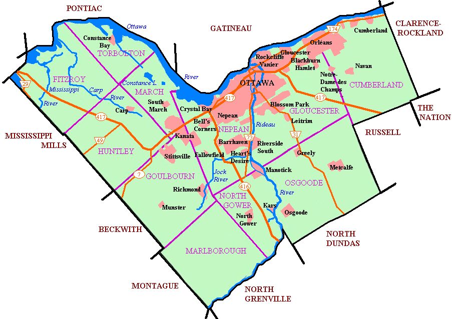
Westboro is located in the western part of Ottawa, and borders many other neighbourhoods. Apart from the core Westboro village located north of Richmond Road, the following neighbourhoods are located nearby. Its community association boundaries are the Transitway to the north, Tweedsmuir Avenue to the east, Carling Avenue to the south and Denbury Avenue to the west. This area excludes the neighbourhood of Westboro Beach, whose community association borders include the area immediately north of Westboro, west of Island Park Drive. Other nearby neighbourhoods include Hampton Park, McKellar Heights, Mechanicsville, Wellington Village, and Wellington West. This clustering of neighbourhoods creates a continuous residential fabric with shared amenities and services, though each maintains its own distinct character and community identity. The proximity to these areas expands the range of shops, parks, and community resources available to Westboro residents, enhancing the overall quality of life in the district.
Notable Residents
Over the years, Westboro has been home to several individuals who have gained prominence in Canadian arts and journalism. Eddie MacCabe, a respected sports journalist and writer, was a resident of the neighbourhood. Another notable former resident is Bruce Cockburn, the acclaimed singer-songwriter and guitarist known for his prolific career and socially conscious lyrics. Their association with Westboro adds to the cultural fabric and historical interest of the community, linking it to broader Canadian cultural achievements and providing a point of local pride for current residents.
Questions about Westboro, Ottawa
What are the boundaries of Westboro in Ottawa?
Westboro is located along the Ottawa River, with Island Park Drive defining its eastern border and the Ottawa River defining its northern border. Under this definition, the population of the area is 22,725. Its community association boundaries are the Transitway to the north, Tweedsmuir Avenue to the east, Carling Avenue to the south and Denbury Avenue to the west. This area excludes the neighbourhood of Westboro Beach, whose community association borders include the area immediately north of Westboro, west of Island Park Drive.
When was Westboro annexed by the City of Ottawa?
Westboro was annexed by the City of Ottawa in 1949. It had existed as a police village from 1903 until that date. This annexation fully integrated the area into Ottawa. The integration also prompted street name changes, such as renaming Main Street to Churchill Avenue and River Road to Roosevelt Avenue, to avoid duplication with existing Ottawa street names. Many cottage like residences from its earlier era still exist today, especially north of Scott Street.
What is the main commercial street in Westboro Village?
The main commercial street in Westboro Village is Richmond Road. This road, originally called the Macadam Road to Bells Corners in the nineteenth century, is the commercial heart of the village like neighbourhood. It was once the centre of the old Nepean Township. Today, Richmond Road features an influx of outdoor and sports stores, boutiques, restaurants, and coffee shops. This commercial activity significantly contributed to the gentrification Westboro underwent in the 2000s.
What is the population of Westboro?
The population of Westboro is 22,725 according to the 2016 Census. This population figure is based on the area defined by Island Park Drive as its eastern border and the Ottawa River as its northern border. Westboro is a thriving and densely populated community. Several condominium projects in the area are encouraging further densification and promising to bring more people to the neighbourhood, which may affect future population counts.
What public transit serves Westboro?
Public transit in Westboro is served by OC Transpo. Two OC Transpo stations, named Westboro and Dominion, serve the area. Bus routes 11 and 16 provide frequent local bus service along Richmond Road, the neighbourhood's main commercial street. This transit infrastructure supports the community's accessibility and connectivity within the broader Ottawa region, facilitating movement for residents and visitors alike.
What are some notable historical sites in Westboro?
Notable historical sites in Westboro include Maplelawn Garden and the Westboro War Memorial cenotaph. Maplelawn Garden, located at the western edge of the village, contains the second oldest building in Ottawa, built in 1831, and is a designated National Historic Site. The Westboro War Memorial cenotaph is located in the park between Richmond Road and Byron Avenue. It was unveiled on June 8, 1985, and is dedicated to the memory of local fallen members from The Great War, The Second World War, and the Korean War.
Sources and further reading
- Westboro, Ottawa (Wikipedia)
- Westboro Village (ottawatourism.ca)
- Westboro, Ottawa: Neighbourhood Guide & Prices (2026) (ottawarealtyman.com)
- Welcome to Westboro Village, Westboro Village BIA (westborovillage.com)
- Westboro | Ottawa community profile (allthingshome.ca)
Checked by the Your Space Hamilton desk. Last updated 2026-10-31.