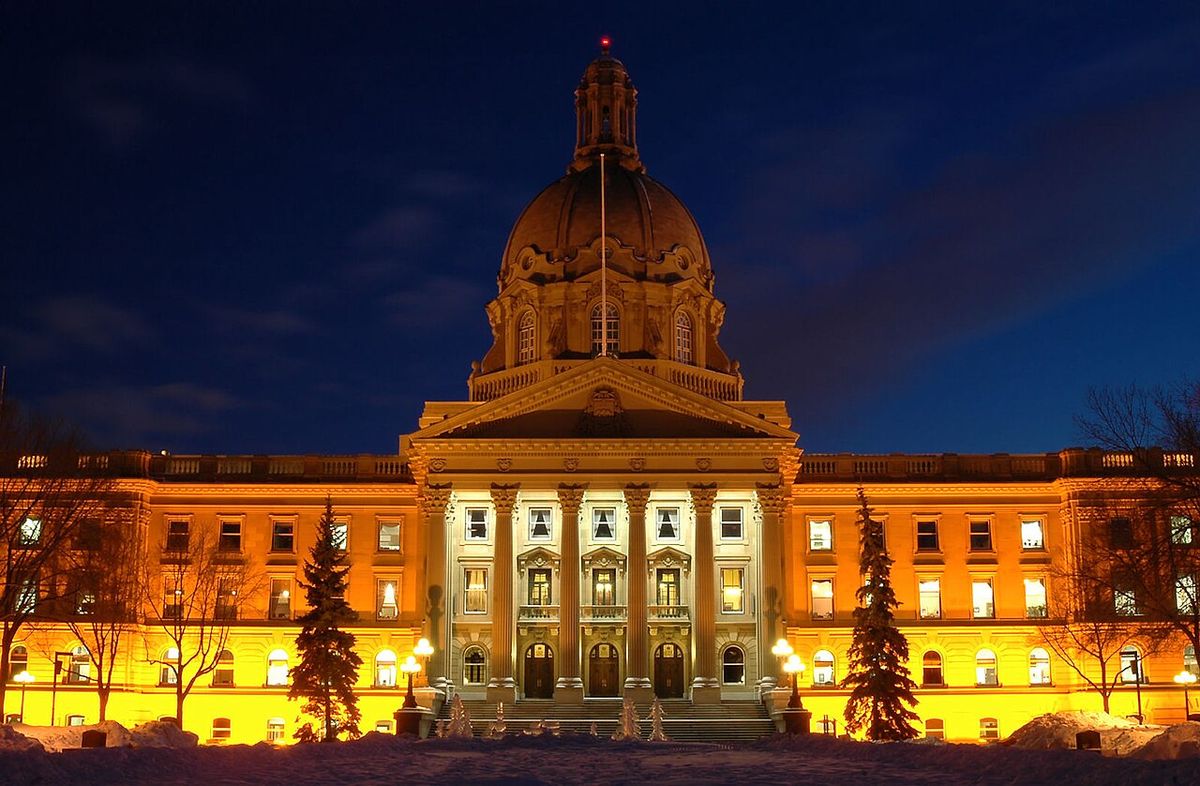
Markham, Ontario
Markham is a city in York Region, Ontario, located approximately 30 kilometres northeast of Downtown Toronto. With a population of 338,503 as of the 2021 census, it is the largest municipality in York Region, the fourth largest in the Greater Toronto Area, and the 16th largest city in Canada. Originally an agricultural township, Markham has transformed since the 1970s into a major economic hub, home to over 1,000 technology and life sciences companies and branding itself as Canada's High Tech Capital. The city officially changed its status from a town on July 1, 2012.
History and Settlement
The area of present day Markham has been inhabited by Indigenous peoples since the end of the last Ice Age, situated on the traditional territory of the Haudenosaunee (Iroquois), Huron Wendat, Petun and Neutral people. European exploration began in the early 1600s with French explorers encountering the Huron Wendat First Nation. Land transfers were formalized through treaties, with the southwest corner of Markham included in Treaty 13, known as the Toronto Purchase of 1787, which transferred roughly 250,800 acres of land from the Mississauga people to the British Crown for 10 shillings and fishing rights on the Etobicoke river. The remainder of Markham's land, roughly east of Woodbine Avenue and Highway 404, is covered by the Johnson Butler Purchase of 1787 88, also known as the Gunshot Treaty, and formally by the Williams Treaties signed in 1923.
After disputes over finances and land tenure in New York, Berczy negotiated with Lieutenant Governor John Graves Simcoe for 26,000 hectares in what would become Markham Township. John Graves Simcoe, in office from 1791 to 1796, named the township after his friend William Markham, the Archbishop of York from 1776 to 1807. William Berczy first surveyed Markham as a township in 1793, and in 1794 led 75 German families from Upstate New York to an area now known as German Mills. Each family was granted 81 hectares of land, but the lack of roads led many to settle in York and Niagara, and German Mills later became a ghost town.
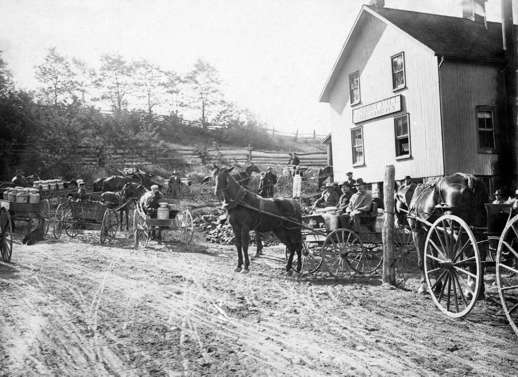
Between 1803 and 1812 another attempt at settling the region was made by Pennsylvania Dutch, most of them Mennonites. These highly skilled craftsmen and knowledgeable farmers founded Reesorville, named after the Mennonite settler Joseph Reesor. In 1825 Reesorville was renamed to Markham, taking the name of the unincorporated village. By 1830, many Irish, Scottish and English families began immigrating to Upper Canada and settling in Markham. The township's many rivers and streams soon supported water powered saws and gristmills and later wooden mills. With improved transportation routes, such as the construction of Yonge Street in the 1800s, along with the growing population, urbanization increased.
In 1842 the township population had reached 5,698, with 11,738 hectares under cultivation, the second highest in the province, and the township had eleven gristmills and twenty four sawmills. By 1857 most of the township had been cleared of timber and was under cultivation. Villages like Thornhill, Unionville and Markham greatly expanded. In 1871, with a township population of 8,152, the Toronto and Nipissing Railway built the first rail line to Markham Village and Unionville, which is still used today by GO Transit commuter services. Since the 1970s, Markham rapidly shifted from being an agricultural community to an industrialized municipality due to urban sprawl from neighbouring Toronto.
Geography and Climate
Markham covers 212.47 square kilometres and the city centre is at 43°53′N 79°15′W. It is bounded by five municipalities. In the west is Vaughan with the boundary along Yonge Street between Steeles Avenue and Highway 7, and Richmond Hill with the boundary along Highway 7 from Yonge Street to Highway 404 and at Highway 404 from Highway 7 to 19th Avenue and Stouffville Road. In the south, it borders Toronto with the boundary along Steeles Avenue. In the north it borders Whitchurch Stouffville with the boundary from Highway 404 to York Durham Line between 19th Avenue and Stouffville Road. In the east it borders Pickering along York Durham Line.
Markham's average altitude is 200 metres and in general consists of gently rolling hills. The city is intersected by two rivers, the Don River and Rouge River, as well as their tributaries. To the north is the Oak Ridges Moraine, which further increases the elevation towards the north. Markham borders and shares the same climate as Toronto, though on an average day it is generally 1 to 2 degrees Celsius cooler than in downtown Toronto. It has a humid continental climate and features warm, humid summers with rainfall occurring from May to October and cold, snowy winters.
The highest temperature recorded in Markham was 37.8 degrees Celsius on August 8, 2001, during the eastern North America heat wave. The lowest temperature recorded was minus 35.2 degrees Celsius on January 16, 1994, during the 1994 North American cold wave. Markham has a humid continental climate and features warm, humid summers and cold, snowy winters. The city is intersected by the Don River and Rouge River and their tributaries, and to the north is the Oak Ridges Moraine.
Neighbourhoods and Communities
Markham is made up of many original 19th century communities, each with a distinctive character. Many of these, despite being technically suburban districts today, are still signed with official city limits signs on major roads. The city comprises six major communities: Berczy Village, Cornell, Markham Village, Milliken, Thornhill and Unionville. Thornhill and Unionville are popularly seen as being separate communities. Thornhill straddles the Markham Vaughan municipal boundary, with portions of it in both municipalities.
Unionville is a single community with three sub communities. Original Unionville is along Highway 7 and Kennedy Road. South Unionville is a newer residential community that began development from the 1990s onwards, located south of Highway 7 to Highway 407 and from McCowan to Kennedy Road. Upper Unionville is a new residential development built on the northeast corner of 16th Avenue and Kennedy Road. These neighbourhoods retain historical elements while accommodating significant new growth, contributing to the city's varied architectural and social character.
- Berczy Village is named for the early settler William Berczy.
- Cornell is a planned community developed on former farmland.
- Markham Village is the historic core, originally known as Reesorville.
- Milliken is named after the early mill owning Milne family.
- Thornhill is a historic village straddling two municipalities.
- Unionville is known for its preserved Main Street and annual festivals.
Demographics and Diversity
In the 2021 Census of Population conducted by Statistics Canada, Markham had a population of 338,503 living in 110,867 of its 114,908 total private dwellings, a change of 2.9 percent from its 2016 population of 328,966. With a land area of 210.93 square kilometres, it had a population density of 1,604.8 people per square kilometre. Immigrants made up 58 percent of the population of Markham in the 2021 census. The top countries of origin for the immigrant population were China at 33.8 percent, excluding an additional 16.4 percent from Hong Kong, India at 7.2 percent, Sri Lanka at 6.4 percent, Philippines at 3.6 percent, Iran at 3.5 percent, Pakistan at 2.7 percent, Vietnam at 1.8 percent, Jamaica at 1.8 percent, and Guyana at 1.6 percent.
In the 2021 census, the most reported ethnocultural background in Markham was Chinese at 47.9 percent. This was followed by European at 17.7 percent and South Asian at 17.6 percent. Other reported backgrounds included Black at 3.1 percent, West Asian at 2.9 percent, and Filipino at 2.7 percent. The most common specific ethnic or cultural origins were Chinese at 43.3 percent, Indian at 7.0 percent, and Canadian at 4.0 percent.
In the 2021 census, 40.8 percent of Markham's population did not identify with a particular religion. The most reported religion was Christianity at 35.1 percent of the population. Other major religions included Hinduism at 9.2 percent and Islam at 7.9 percent. Buddhism was reported by 4.0 percent, Judaism by 1.4 percent, and Sikhism by 1.1 percent of the population.
Government and City Services
Markham City Council consists of Frank Scarpitti as mayor, four regional councillors and eight ward councillors each representing one of the city's eight wards. Scarpitti replaced Don Cousens, a former Progressive Conservative MPP for Markham and a Presbyterian church minister. The community elects the mayor and four regional councillors to represent the City of Markham at the regional level. The municipality pays the Councillors for their services, but in many municipalities, members of council usually serve part time and work at other jobs. Residents elected the current members of council to a four year term of office, in accordance with standards set by the province. The selection of members for the offices of mayor and regional councillors are made city wide, while ward councillors are elected by individual ward.
The city council is at the Markham Civic Centre at the intersection of York Regional Road 7 and Warden Avenue. The site of the previous offices on Woodbine Avenue has been redeveloped for commercial uses. The historic town hall on Main Street is now a restored office building. The Mayor's Youth Task Force was created to discuss issues facing young people in the city and to plan and publicize events. Its primary purpose is to encourage youth participation within the community. Municipal elections are held every four years in Ontario. The most recent election took place in October 2022, and the next is scheduled for October 2026.
The city is permitted to create and enforce by laws upon residents on various matters affecting the town. The by laws are generally enforced by City By Law enforcement officers, but they may involve York Regional Police if violations are deemed too dangerous for the officers to handle. Violation of by laws is subject to fines of up to 20,000 dollars. The by laws of Markham include Animal Control, Construction Permits, Cannabis regulations, Driveway Extensions, Fencing and Swimming Pools, Heritage Conservation, Home Based Businesses, Noise, Parking, Property Standards, Registration of Basement Apartments and Second Suites, Sewers, Site Alteration, Waste Collection, and Water Use.
| Service | Provider or Location |
|---|---|
| Policing | York Regional Police (5 District at McCowan & Carlton) |
| Fire Services | Markham Fire and Emergency Services (9 stations) |
| Main Hospital | Markham Stouffville Hospital (Hwy 7 & 9th Line) |
| Specialized Hospital | Shouldice Hospital |
| Garbage Collection | Miller Waste Systems (since 1961) |
| Provincial Courts | Ontario Court of Justice in Newmarket. Small Claims in Richmond Hill |
Economy and Major Employers
In the 19th century Markham had an independent community with mills, distilleries and breweries around the intersection of Highway 7 and Markham Road. The Thomas Speight Wagon Works exported products like wagons and horsecars around the world, and Markham had a reputation as being more active than York early on. Most of these industries disappeared leaving farming as the main source of business. Light industries and businesses began to move into Markham in the 1980s attracted by land and lower taxes. Today, it claims to be Canada's Hi Tech Capital with a number of key companies in the area.
As of 2013, tertiary industry mainly drives Markham. As of 2010, business services employed the largest proportion of workers in Markham, nearly 22 percent of its labour force. The city also has over 1,000 technology and life sciences companies, with IBM as the city's largest employer. Several multinational companies have their Canadian headquarters in Markham. This corporate cluster provides a diverse and strong economic base for the city and the surrounding region, spanning multiple sectors from automotive to pharmaceuticals.
- Automotive: Honda Canada, Hyundai, General Motors, Toyota Financial Services.
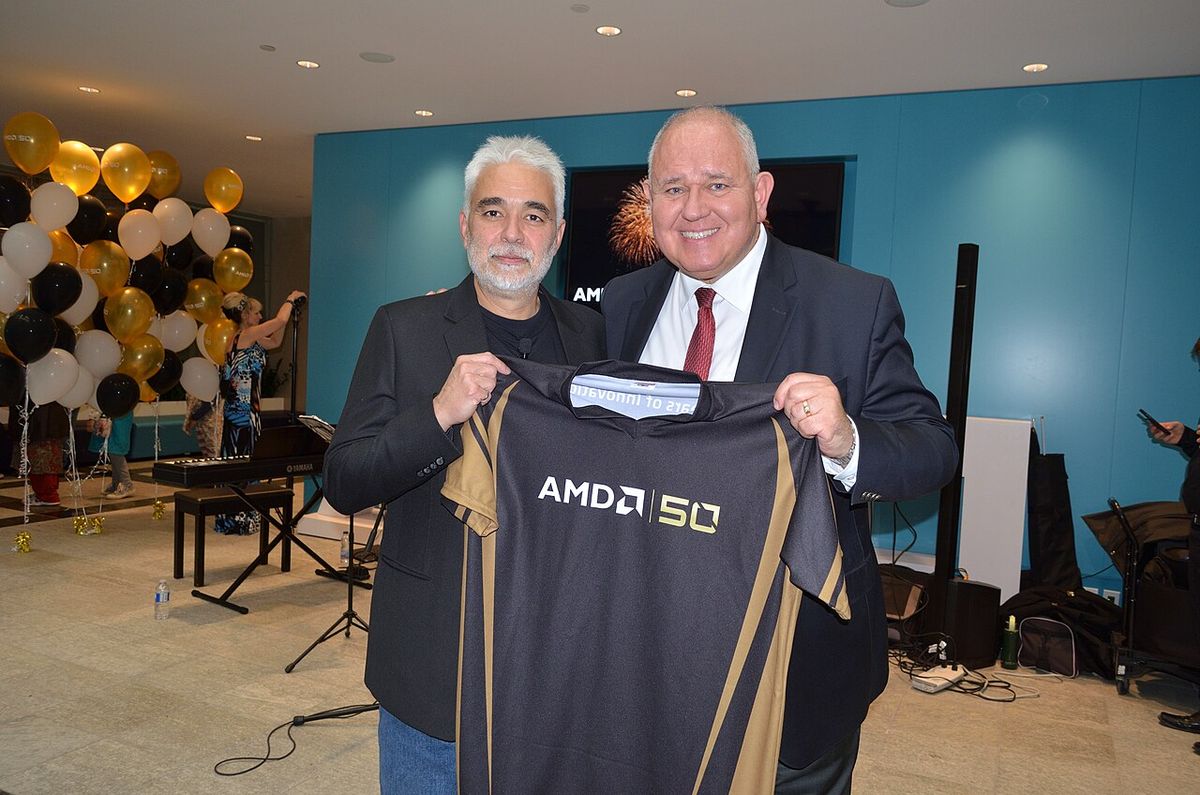
- Technology: IBM, Advanced Micro Devices (AMD), Avaya, Motorola, Oracle, Toshiba, Huawei, Honeywell.
- Pharmaceutical & Consumer: Johnson & Johnson, General Electric, Scholastic Canada.
The province of Ontario has erected a historical plaque in front of the Markham Museum to commemorate the founding of Markham's role in Ontario's heritage. Much of Markham's farmland has disappeared, but some still remains north of Major Mackenzie Drive. Controversy over the development of the environmentally sensitive Oak Ridges Moraine will likely curb development north of Major Mackenzie Drive. Development is also expected to be limited by Rouge National Urban Park east of Reesor Road between Major Mackenzie Drive and Steeles Avenue East.
Education and Culture
Markham has a number of both public and Catholic high schools. All have consistently scored high on standardized tests and have some of the highest rate of graduates attending universities. The York Region District School Board operates secular English public schools. The York Catholic District School Board operates English Catholic schools. The Conseil scolaire Viamonde operates secular French schools, and the Conseil scolaire catholique MonAvenir operates Catholic French schools. Post secondary education is available through Seneca College, which has a campus at Highway 7 and the 404 near Woodbine Avenue, opened in 2005, offering full and part time programs in business, marketing and tourism, and also the college's departments of Finance, Human Resources and Information Technology Services. Since 2011 the campus has also housed the Confucius Institute.
York University's Markham Campus in Downtown Markham opened in September 2024. It serves the entirety of York Region and upper Scarborough. The city supports cultural heritage through institutions like the Markham Museum. Objects recovered by local mill owners, the Milne family, in the 1870s give evidence of a village within the boundaries of the present Milne Conservation Area. Community events are a staple, with annual occurrences like the Trick or Treat on Main Street Markham scheduled for October 31, 2026, the Remembrance Day Parade on November 7, 2026, and the 41st Annual Main Street Markham festival. The city is also creating City wide Urban Design Guidelines to help shape how new buildings and spaces are designed.
| YRDSB High Schools | YCDSB High Schools |
|---|---|
| Bill Hogarth Secondary School | St. Brother André Catholic High School |
| Bill Crothers Secondary School | St. Augustine Catholic High School |
| Bur Oak Secondary School | St. Robert Catholic High School |
| Markham District High School | Father Michael McGivney Catholic Academy |
| Markville Secondary School | |
| Middlefield Collegiate Institute | |
| Milliken Mills High School | |
| Pierre Elliott Trudeau High School | |
| Thornhill Secondary School | |
| Thornlea Secondary School | |
| Unionville High School |
Questions about Markham, Ontario
What is the population of Markham, Ontario?
According to the 2021 census, Markham has a population of 338,503 people. This makes it the most populous city in York Region, the fourth largest in the Greater Toronto Area, and the 16th largest city in Canada. The population has grown significantly from approximately 56,000 in 1976, driven by suburban development. The population density is 1,604.8 people per square kilometre.
When did Markham become a city?
Markham officially changed its status from a town to a city on July 1, 2012. The town council voted in favour of the change on May 29, 2012. The motion was introduced by Councillor Alex Chiu, who stated the change reflected the fact that many people already perceived Markham as a city. The town had been incorporated in 1971 during a period of rapid population growth.
Why is Markham called Canada's High Tech Capital?
Markham brands itself as Canada's High Tech Capital due to the high concentration of technology and life sciences companies headquartered there. The city is home to over 1,000 such firms, including major players like IBM, AMD, Motorola, Oracle and Huawei. This cluster developed from the 1980s onward, attracted by available land, good transportation and lower tax rates. IBM is the city's single largest employer.
Who is the mayor of Markham?
As of 2026, the mayor of Markham is Frank Scarpitti. He succeeded Don Cousens, a former Progressive Conservative MPP. The mayor is elected at large by the city's voters for a four year term. The city council also includes four regional councillors and eight ward councillors. The next municipal election is scheduled for October 2026, with online voting available from October 16 to 26.
What is there to do in Markham?
Markham offers a mix of historical sites, cultural festivals and community events. The city's distinct neighbourhoods, like historic Unionville and Thornhill, host annual events such as the Remembrance Day Parade and Trick or Treat on Main Street. The Markham Museum presents local heritage. The city is also a major retail and dining destination, with diverse cuisine reflecting its multicultural population, and provides extensive parkland along the Rouge River system.
What are the main cultural demographics in Markham?
The main cultural demographics in Markham are highly diverse. In the 2021 census, the most reported ethnocultural background was Chinese at 47.9 percent of the population. This is followed by European backgrounds at 17.7 percent and South Asian backgrounds at 17.6 percent. Immigrants make up 58 percent of Markham's population, with the top countries of origin being China, India, Sri Lanka, the Philippines, and Iran. Other significant ethnic origins include Black, West Asian, Filipino, and Korean communities.
Sources and further reading
- Markham, Ontario (Wikipedia)
- Home page | City of Markham (markham.ca)
Checked by the Your Space Hamilton desk. Last updated 2026-10-24.