Hurricane Audrey
Hurricane Audrey was a catastrophic Category 3 hurricane that made landfall on the southwestern Louisiana coast on June 27, 1957. It was the first named storm and major hurricane of the 1957 Atlantic season, and it remains one of the deadliest and most intense June hurricanes on record for the basin. The storm's rapid intensification and powerful storm surge caused unprecedented destruction in Louisiana and Texas, with the death toll in the United States reaching at least 416. The hurricane's extratropical remnants later moved into Canada, killing 15 people in Ontario and Quebec and establishing Audrey as one of the deadliest storms to strike the country in modern times.
Meteorological history
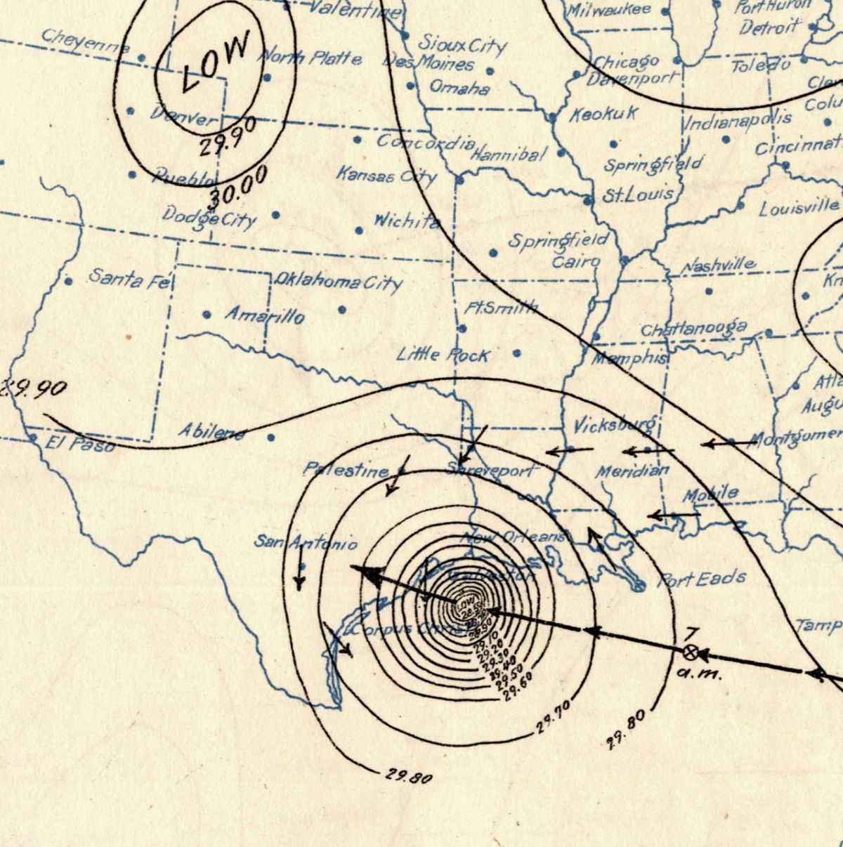
The origins of Hurricane Audrey can be traced to a tropical wave that moved into the Bay of Campeche from the Caribbean Sea around June 22, 1957. Favorable environmental conditions, including sea surface temperatures about 3°F above normal and supportive upper-level winds, allowed the system to organize. At 12:00 UTC on June 24, ship reports confirmed the formation of a tropical depression, which strengthened into Tropical Storm Audrey just six hours later. The storm remained nearly stationary initially, taking full advantage of the warm Gulf waters. The first reconnaissance aircraft reached the system on June 25, finding that Audrey had already intensified into a hurricane about 380 miles southeast of Brownsville, Texas.
Audrey began moving slowly northward around a ridge of high pressure over the eastern Gulf. Its intensification slowed briefly on June 26 before entering a second, more rapid phase as it accelerated toward the United States Gulf Coast. The storm reached Category 2 strength at 00:00 UTC on June 27 and became a major Category 3 hurricane just six hours later. Between the final aircraft observation and landfall, the storm's central pressure deepened by roughly 30 mbar. The last observation near the storm's centre occurred approximately five hours before landfall by the tanker Tillamook, which documented a pressure of 969 mbar at the western edge of the eyewall.
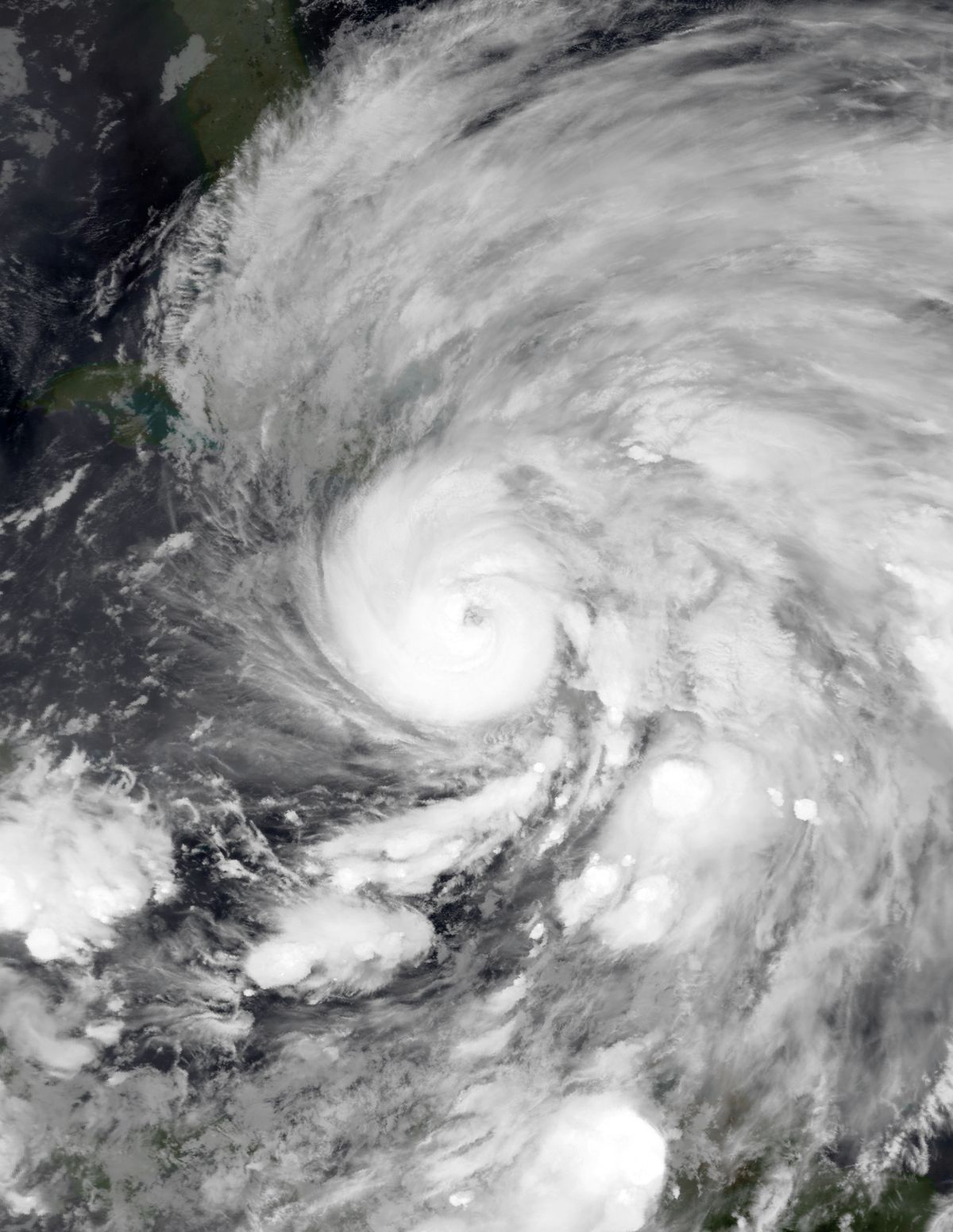
At 13:30 UTC on June 27, Hurricane Audrey made landfall at peak intensity just east of the Texas-Louisiana border with sustained winds of 125 mph and a minimum central pressure of 946 mbar. Radar and ground observations suggested the storm had concentric eyewalls at landfall, resulting in two wind maxima. An oil rig observation suggesting winds of 180 mph and a pressure of 925 mbar was later discarded as erroneous. After moving inland, Audrey weakened to a tropical storm by June 28. An approaching cold front caused the system to transition into an extratropical cyclone over West Virginia on June 29 with a pressure of 995 mbar.
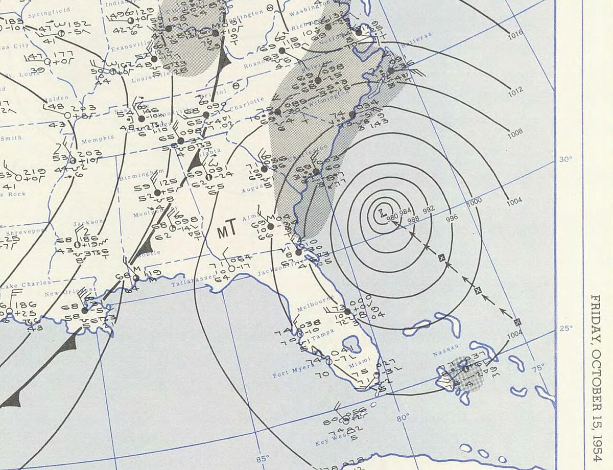
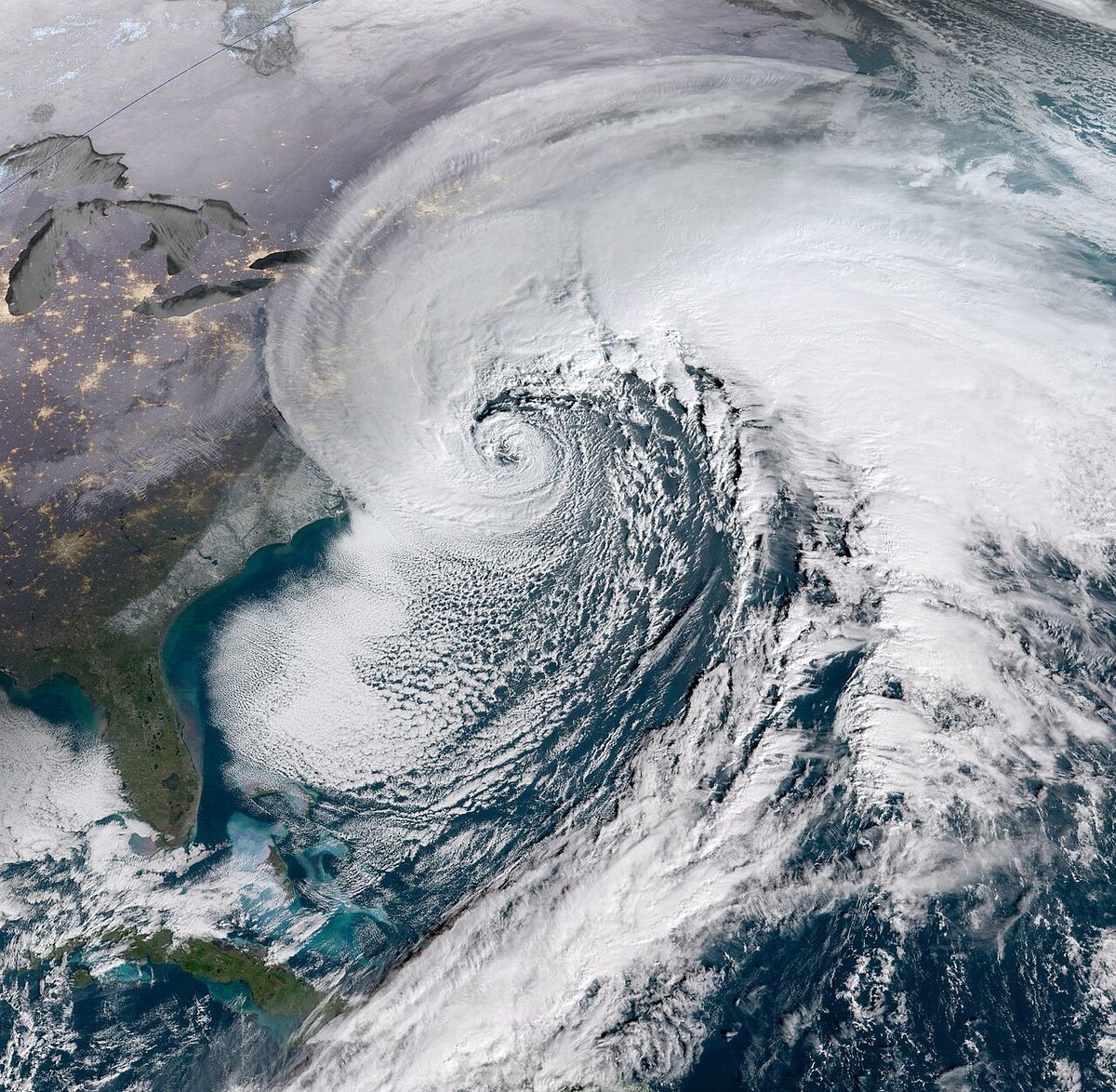
This extratropical remnant then merged with a second low-pressure system that developed near Chicago. The interaction led to the merged cyclone unexpectedly intensifying, producing hurricane-force winds across the Northeastern United States and southeastern Canada. As an extratropical system, Audrey reached a minimum pressure of 974 mbar roughly 140 miles north of Buffalo, New York, in southwestern Quebec. This post-tropical strengthening was reminiscent of Hurricane Hazel in 1954.
Preparations and warnings
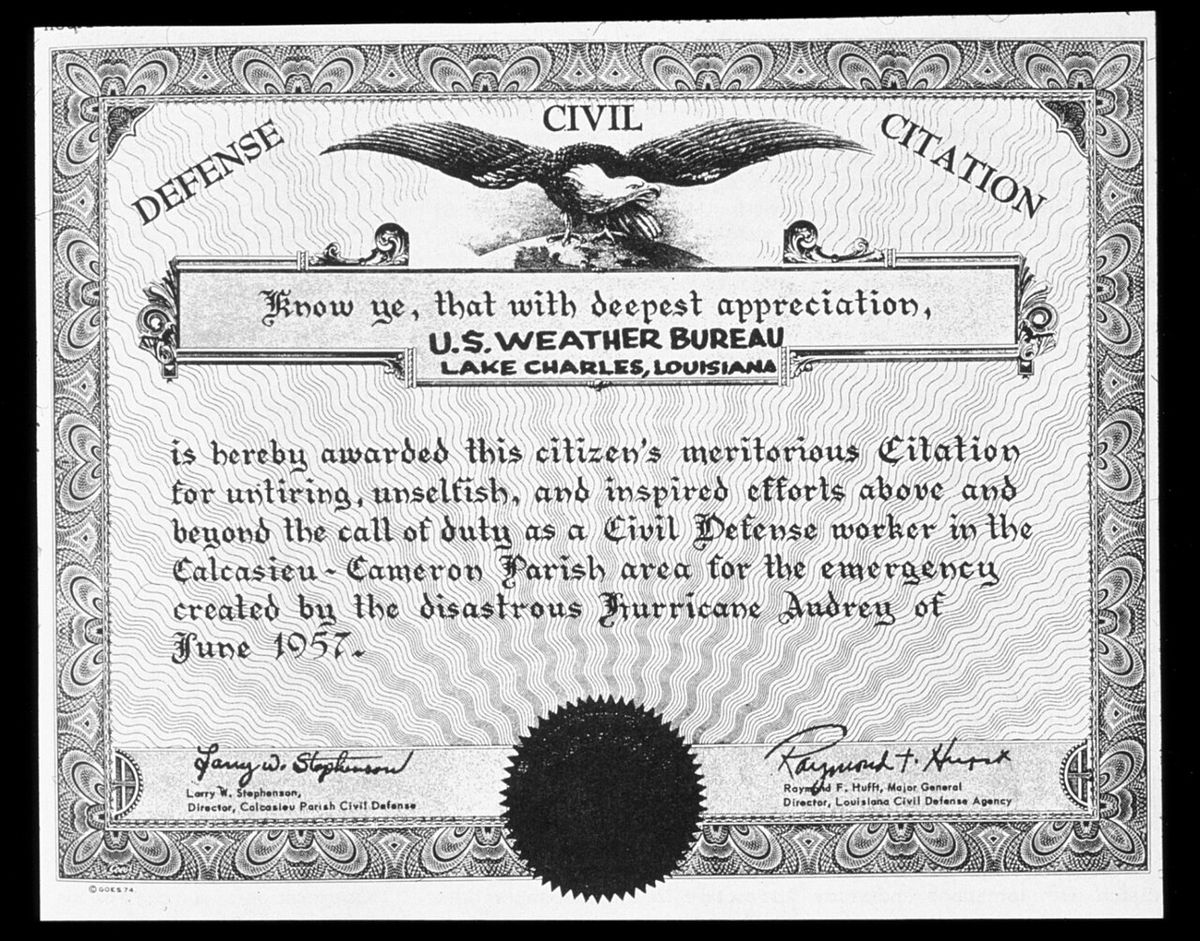
The U.S. Weather Bureau's first bulletin on Audrey was issued by the New Orleans office at 04:30 UTC on June 25, while the storm was still a tropical depression. A hurricane watch was posted for the coasts of Texas and Louisiana the following day, and a full hurricane warning for the entire Louisiana coast was issued at 10 a.m. CST on June 26. Warnings were later extended westward to High Island, Texas. The bureau highlighted similarities between Audrey's projected path and that of Hurricane Flossy in 1956, which helped convince some residents on Grand Isle, Louisiana, to evacuate. Small craft warnings were issued from Brownsville, Texas, to Panama City, Florida.
Approximately 75,000 people evacuated from low-lying areas along the Gulf Coast ahead of the storm. Specific evacuation actions were extensive. In Texas, an estimated 50,000 people evacuated from Port Arthur, while all except two families evacuated Sabine Pass. About 2,000 people left Orange, Texas, and another 1,000 evacuated from Beaumont. The American Red Cross opened fifteen shelters in Port Arthur which eventually housed 5,000 people. On the Bolivar Peninsula, 270 beach houses and homes were evacuated due to the threat of the bridge over Rollover Pass being inundated.
In Louisiana, evacuation procedures on Grand Isle led 3,400 people to leave, though 600 chose to remain. Most of Cameron was evacuated, with remaining residents seeking refuge in the town's courthouse and other structures. Red Cross shelters in Lake Charles housed 19,000 refugees and issued food rations to 30,000 people. The state civil defence established a public shelter program, invoking National Guard equipment and personnel. Offshore, hundreds of personnel were evacuated by helicopter from oil rigs operated by companies like Kerr-McGee, Gulf Oil, and Humble Oil on June 26. The United States Air Force and Navy also evacuated 115 North American T-28 Trojans from an Alabama naval field to Barksdale Air Force Base.
Despite these efforts, the high death toll was later partially blamed on incomplete evacuations. The storm accelerated as it neared land, surprising meteorologists and residents who expected a later landfall the following afternoon. Weather Bureau warnings, while technically accurate, were found in the later case of Bartie v. United States to have lacked a sense of urgency. The warnings advised evacuation of 'low or exposed areas,' but many inland residents at an elevation of 7 to 8 feet did not consider themselves at low elevation. Newly elected city officials in Lake Charles edited Weather Bureau bulletins for local radio broadcasts, tailoring them by trimming details deemed irrelevant, which may have contributed to a hesitancy to evacuate until it was too late.
Impact in the United States
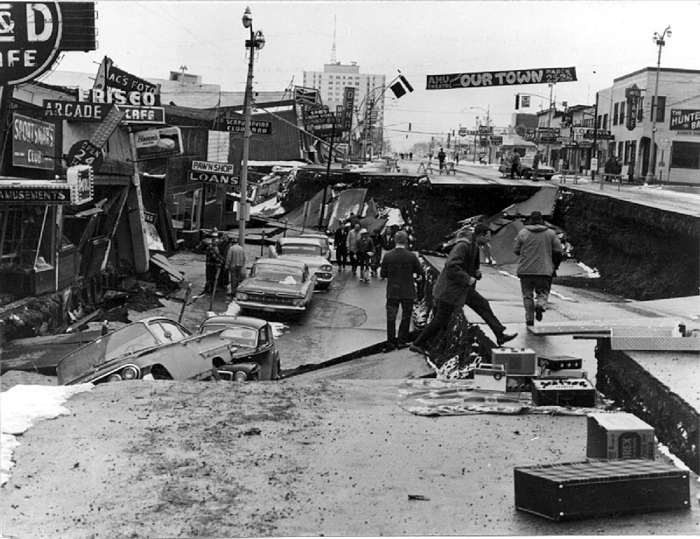
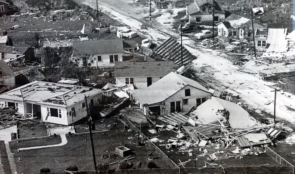
Hurricane Audrey caused catastrophic damage primarily through its powerful storm surge and high winds. The storm surge, amplified by the hurricane's rapid intensification just before landfall, inundated coastal areas and penetrated as far as 20 miles inland in Louisiana. Tides exceeded 12 feet for a 24-mile stretch of the Louisiana coastline, peaking at 12.4 feet. In Cameron, tides reached 10.6 feet above mean sea level, with some waves reaching 10 feet atop the high water. Over 1.6 million acres of land were flooded by surge or river flooding. Damage from the surge alone extended 25 miles inland. The rough seas offshore capsized the fishing vessel Keturah 11 miles off Galveston after its tow line from the USCGC Cahoone broke, killing nine crewmen. Damage from offshore oil facilities was estimated at $16 million.
In Texas, the storm's effects were felt most severely in eastern counties. Winds reached 78 mph in Galveston and 72 mph in Port Arthur, causing broken plate glass windows in downtown Galveston and high-rise windows in Port Arthur. At least 50 homes were flattened on the Bolivar Peninsula, with the most severe damage occurring in and around Gilchrist, where the majority of destroyed homes were located. The storm surge topped the Galveston Seawall, flooding downtown streets and inundating businesses, though an extension of the seawall completed in 1953 was credited with mitigating about $100,000 in damage. A 0.75-mile segment of Texas State Highway 87 between Sabine Pass and High Island was submerged.
Other Texas impacts included two oil barges moved 2.5 miles inland north of Gilchrist, a washed-out road on Mustang Island, and a drifted oil barge in Sabine Lake. In Orange, homes were damaged by falling trees, power lines were downed, and fifteen people were injured with one killed. Jefferson County Airport set a daily rainfall record with 7.35 inches. Damage in Texas totaled $8 million, with a conservative estimate of $1.5 million for Orange County alone. The state recorded nine fatalities and 450 injuries.
In Louisiana, the damage was far more extensive. The storm spawned two tornadoes within the state and dropped heavy rainfall, peaking at 10.63 inches near Basile. The majority of the 416 U.S. fatalities occurred in Louisiana, with most deaths in Cameron Parish attributed to storm surge drowning. The city of Cameron and much of Cameron Parish were devastated. As Audrey moved inland and became extratropical, it caused additional destruction across the interior United States. The storm produced 18 tornadoes across Mississippi and Alabama, causing $600,000 in damage and killing one person. Moisture from Audrey's remnants intersected with a cold front over the Midwest, producing record rainfall that peaked at 10.20 inches in Paris, Illinois, and caused flooding that killed 10 people. Total damage in the United States was $147 million, making it the fifth-costliest hurricane recorded in the country since 1900 at the time.
- Texas Fatalities: 9 deaths, primarily from the sinking of the Keturah.
- Louisiana Fatalities: The majority of the at least 416 U.S. deaths, concentrated in Cameron Parish.
- Midwest Flooding: 10 deaths in Illinois from record rainfall.
- Tornadoes: 18 tornadoes in Mississippi and Alabama, causing one death.
- Offshore Impact: $16 million in damage to oil facilities.
- Total U.S. Damage: $147 million (1957 USD).
- Area Flooded: Over 1.6 million acres in Louisiana.
- Storm Surge Penetration: Up to 20 miles inland in Louisiana.
Impact in Canada
The extratropical remnants of Hurricane Audrey moved into Canada on June 29, 1957, bringing strong winds and torrential rainfall to Ontario and Quebec. The merged low-pressure system, which had reintensified over the Great Lakes, produced hurricane-force winds as it tracked through the region. In Quebec, the storm was considered among the worst to strike the province in 20 years, with contemporary newspapers calling it Quebec's worst storm in two decades. The impacts disrupted transportation services and caused significant damage. All told, the storm killed 15 people in Canada. Ten of those fatalities occurred in the Montreal area of Quebec. This death toll made Audrey the deadliest hurricane to strike the province of Quebec in recorded history. The storm's legacy in Canada shows how the remnants of tropical systems can retain significant destructive power far from their initial landfall.
Records and historical context
Hurricane Audrey set several significant meteorological records. At the time, it was the most intense June hurricane ever recorded in the Atlantic basin, a distinction it held jointly with Hurricane Alex in 2010 based on its minimum pressure of 946 mbar. It was also the strongest June hurricane in terms of wind speed until Hurricane Beryl in 2024. Audrey was the earliest major hurricane to make landfall in the United States in any season up to that time. It was the first major hurricane to form in the Gulf of Mexico since 1945. The storm was the first named storm and hurricane of the 1957 Atlantic hurricane season.
In terms of human cost, Audrey was the deadliest hurricane to strike the United States since the 1928 Okeechobee hurricane, which killed approximately 2,500 people. Audrey's death toll was comparable to all storms affecting the country in the decade preceding it combined. It remains the seventh deadliest hurricane in U.S. history in modern record keeping. The storm's name was retired from the list of Atlantic hurricane names following the 1957 season, preventing its future use. The Weather Bureau had issued its first experimental 30-day hurricane forecast on June 17, 1957, which indicated a high likelihood for tropical development, though Audrey's formation was not explicitly forecast.
Scientific and forecasting legacy
Hurricane Audrey had a major impact on hurricane science and warning procedures. The storm's rapid intensification and faster-than-forecast acceleration to landfall exposed critical gaps in communication and public understanding of hurricane threats. The tragedy prompted the National Hurricane Research Project, under director Bob Simpson, to dispatch researchers to Cameron immediately after the storm to conduct detailed damage surveys and map high-water marks before cleanup efforts began. This work helped map valuable high water marks that later informed early efforts to make computer forecasts of storm surge.
The event highlighted the necessity for clearer, more urgent language in public warnings, a lesson that would influence future hurricane communication strategies. Meteorologist Robert Simpson later attributed part of the high death toll to a lack of proper communication between coastal residents and forecasters. The storm demonstrated the utility of coastal radar networks, which were still new in 1957. A mosaic of MPS-7 weather radars from Texas and Louisiana tracked Audrey's large, well-organized eye at landfall, showing the potential of radar for tracking hurricane rain bands and wind fields. This paved the way for advanced radar technologies like Doppler and dual-polarization radar in later decades. Audrey served as a powerful case study in rapid intensification and the critical importance of accurate storm timing for public safety.
Questions about Hurricane Audrey
Where did Hurricane Audrey make landfall?
Hurricane Audrey made landfall at 13:30 UTC (8:30 a.m. CST) on June 27, 1957, at peak intensity. It struck the coast just east of the border between Texas and Louisiana, between the mouth of the Sabine River and Cameron, Louisiana. Specific locations noted for landfall include the area between Sabine Pass and Johnsons Bayou. The storm made landfall as a Category 3 hurricane with 125 mph winds and a central pressure of 946 mbar.
Why was Hurricane Audrey so deadly?
The extreme lethality of Hurricane Audrey was primarily due to its powerful and widespread storm surge, which was amplified by the storm's rapid intensification just before landfall. The surge, reaching over 12 feet in places, inundated low-lying coastal communities with little warning. Incomplete evacuations also contributed, as the storm accelerated and intensified faster than forecast. Warnings advised evacuation of 'low or exposed areas,' but many residents at elevations of 7 to 8 feet did not consider themselves at risk, and edited local radio bulletins may have reduced the perceived urgency.
What was the damage cost of Hurricane Audrey?
Total damage in the United States from Hurricane Audrey was $147 million (1957 USD). This included $128 million in Louisiana and Texas, $16 million in damage to offshore oil facilities in the Gulf of Mexico, and $600,000 from tornadoes in Mississippi and Alabama. Additional losses occurred in the Midwest from flooding. At the time, it was the fifth-costliest hurricane in U.S. history since 1900. In Texas alone, damage in Galveston County was estimated between $200,000 and $300,000.
How did Hurricane Audrey affect Canada?
The extratropical remnants of Hurricane Audrey moved into Canada on June 29, 1957, bringing strong winds and heavy rain to Ontario and Quebec. The merged storm system produced hurricane-force winds. The storm killed 15 people in Canada, with ten fatalities occurring in the Montreal area alone. This made Audrey the deadliest hurricane to strike Quebec in recorded history. The storm disrupted transportation and was described as one of the worst to hit the province in 20 years.
How many people died in Hurricane Audrey?
Hurricane Audrey caused at least 416 fatalities in the United States, with an additional 15 killed in Canada. The majority of the US deaths occurred in Cameron Parish, Louisiana, and were attributed to storm surge drowning. The National Weather Service lists this figure, though the final death total may never be known. The Weather Bureau initially estimated the toll was over 500, and other contemporary estimates indicated 390 identified and unidentified persons with 192 more reported missing. In Canada, ten people were killed in the Montreal area, making Audrey the deadliest hurricane to strike Quebec in recorded history.
Is the name Audrey still used for hurricanes?
No, the name Audrey was retired from usage as an identifier for an Atlantic hurricane. This retirement occurred following the catastrophic 1957 storm due to its extreme destruction and high death toll. The practice of retiring names is reserved for particularly devastating storms to prevent future confusion and out of respect for the victims and affected communities. Therefore, the name Audrey will not be used again for a hurricane in the Atlantic basin.
Sources and further reading
- Hurricane Audrey (Wikipedia)
- Hurricane Audrey killed hundreds as one of June's worst ... (theweathernetwork.com)
- Hurricane Audrey 1957 (weather.gov)
- 60th Anniversary of Hurricane Audrey (aoml.noaa.gov)
- Hurricane Audrey 1957 Louisiana | RainViewer Blog (rainviewer.com)
Checked by the Your Space Hamilton desk. Last updated 2026-10-24.