Chinook wind
The Chinook wind is a distinctive meteorological phenomenon of western North America, known for its dramatic and rapid warming effect. In Canada, it is most famously associated with the interior regions of Alberta and eastern British Columbia, where it transforms harsh winter landscapes. The term originates from the Chinook people of the Pacific Northwest coast, where it describes a warm, moist oceanic wind. These winds are categorized into two types: the persistent, wet coastal Chinooks of British Columbia and the dry, warm interior Chinook föhn winds east of the Rockies. For Canadians on the Prairies, the Chinook provides periodic winter respite, melting snow and raising temperatures sharply, but it also brings significant environmental and lifestyle impacts.
Origins and Terminology
The name Chinook is derived from the Chinook people, an Indigenous group who historically lived along the lower Columbia River near the Pacific Ocean. Euro-American settlers along the Pacific Northwest coast first used the term to describe the warming winds blowing from the ocean into the interior. The word was later carried east of the Cascade and Rocky Mountains by French-speaking Métis employees of the Hudson's Bay Company, who were familiar with the coastal region. This transmission led to the development of two distinct pronunciations for the wind across different regions. Along the British Columbia coast and the Pacific Northwest, the original pronunciation 'chin-uk' remains common among local communities and fishermen. East of the mountains, particularly across Alberta and the Canadian Prairies, the prevailing pronunciation shifted to the French-influenced 'shin-uk'. The Blackfoot people of the interior plains have their own term for the phenomenon, calling it the 'snow eater' for its ability to rapidly melt winter snowpack. A St'at'imc legend from British Columbia tells of a girl named Chinook-Wind who married Chinook Glacier and was later brought home by her people in the form of snowflakes.
Coastal Chinooks of the Pacific Northwest
Coastal Chinooks are the original weather pattern described by the term, characterized by persistent, warm, and extremely wet southwesterly winds blowing inland from the Pacific Ocean. These winds are a dominant feature of the climate in British Columbia, coastal Washington, and Oregon, delivering tremendous moisture that sustains the region's temperate rainforests. The air associated with a coastal Chinook is typically stable, which minimizes gusty winds in sheltered areas, though exposed locations can experience fresh gales. These winds alter coastal winter weather by pushing back cold Arctic air masses that occasionally settle over the region. When a coastal Chinook interacts with an entrenched Arctic air mass, the tropical dampness cools rapidly, resulting in volumes of powder snow that can fall to sea level. These snowfalls and cold spells are usually short-lived, as the warm Chinook winds quickly return, melting the snow within a week. In recent decades, similar atmospheric patterns have gained the colloquial name 'pineapple express', referencing their tropical origins near Hawaii. The effects of a coastal Chinook on the interior of British Columbia, such as the Fraser Canyon and Okanagan regions, are reversed, as the air loses its moisture crossing the mountains, resulting in drier, warmer conditions similar to, but less extreme than, an Albertan interior Chinook. The region's stormy winds more commonly occur when a fast westerly jet stream allows air masses from temperate and subarctic latitudes to clash.
Interior Chinooks of Alberta and Eastern British Columbia
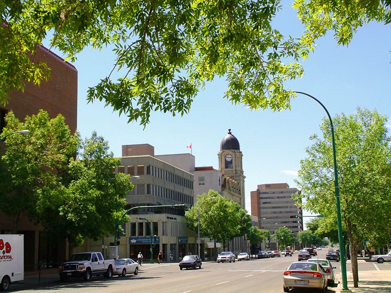
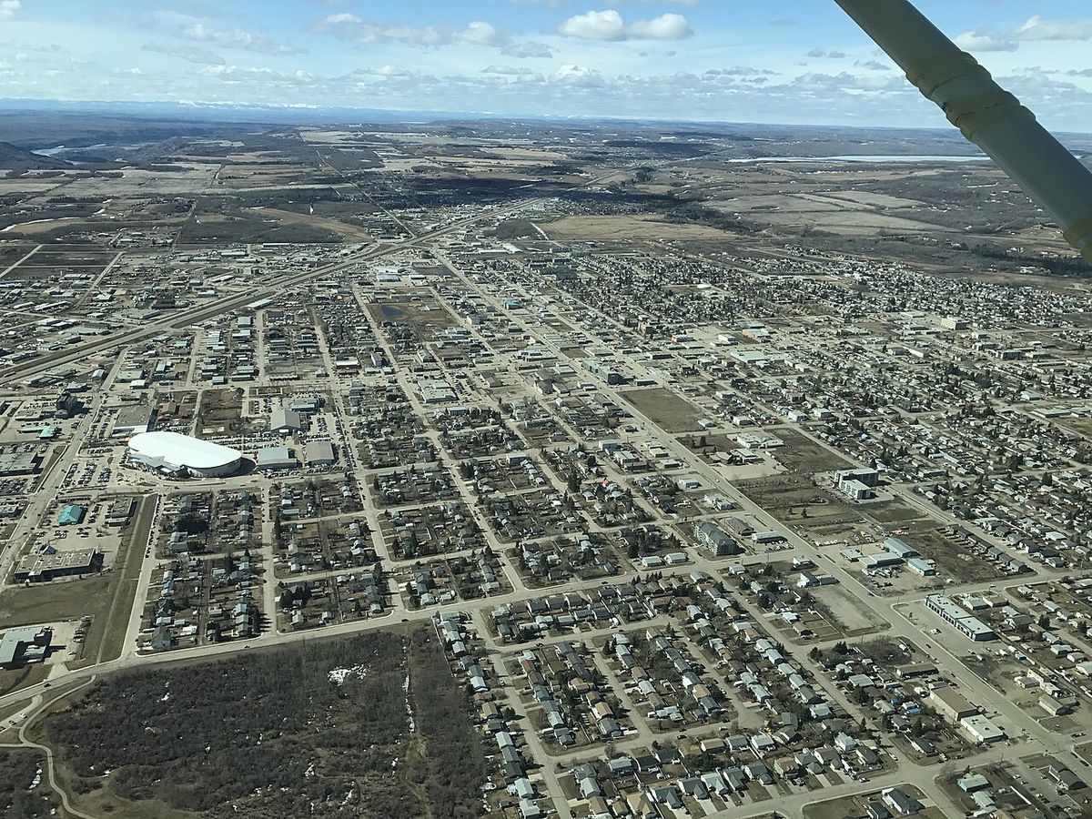
Interior Chinooks are classic föhn winds, dry and warm winds that descend the eastern slopes of mountain ranges, most notably the Rocky Mountains. In Canada, they are most prevalent and intense over southern Alberta, forming a belt from Pincher Creek and Crowsnest Pass through Lethbridge, which averages 30 to 35 Chinook days per year. These winds can occur as far north as High Level, Alberta, and Fort St. John, British Columbia, and become less frequent further south into the United States, occurring as far south as Las Vegas, Nevada, and occasionally to Carlsbad, New Mexico. The mechanics of an interior Chinook involve moist Pacific air being forced to rise over western mountain slopes. As it rises, the air cools at the moist adiabatic rate of 5°C per 1000 metres and releases moisture as precipitation on the windward side. The now-dried air then descends the leeward eastern slopes, warming at the dry adiabatic rate of 10°C per 1000 metres. This process can raise winter temperatures dramatically, often from below -20°C to between 10°C and 20°C within hours, a change vividly demonstrated in Pincher Creek on January 6, 1966, when the temperature rose 25.5°C in one hour. The turbulence of these high winds also inhibits the formation of nocturnal temperature inversions, keeping nighttime temperatures higher than usual. While the warm break is welcome, the winds can create hazardous driving conditions, blowing snow across roadways and even tipping over empty semi-trailer trucks on highways like Alberta's Highway 3. On February 27, 1992, Claresholm, Alberta recorded a temperature of 24°C, followed by 21°C the next day.
Interior Chinooks are most common in southern Alberta, Canada, with an average of 30 to 35 Chinook days per year in a belt from Pincher Creek and Crowsnest Pass through Lethbridge. They occur less frequently north of Red Deer but can happen annually as far north as High Level in northwestern Alberta and Fort St. John in northeastern British Columbia. In Pincher Creek, a notable temperature rise of 25.5 degrees Celsius occurred in one hour on 6 January 1966. These winds can create dangerous driving conditions by blowing snow across roadways and have been known to blow over empty semi-trailer trucks on highways in southern Alberta.
- Pincher Creek/Crowsnest Pass to Lethbridge belt: 30-35 Chinook days per year on average.
- Red Deer, Alberta: Chinooks become less common north of this point.
- High Level, Alberta: Chinooks can occur annually this far north.
- Fort St. John, British Columbia: Chinooks can occur annually in northeastern BC.
- Claresholm, Alberta: Recorded 24°C on 27 February 1992.
The Chinook Arch and Associated Weather
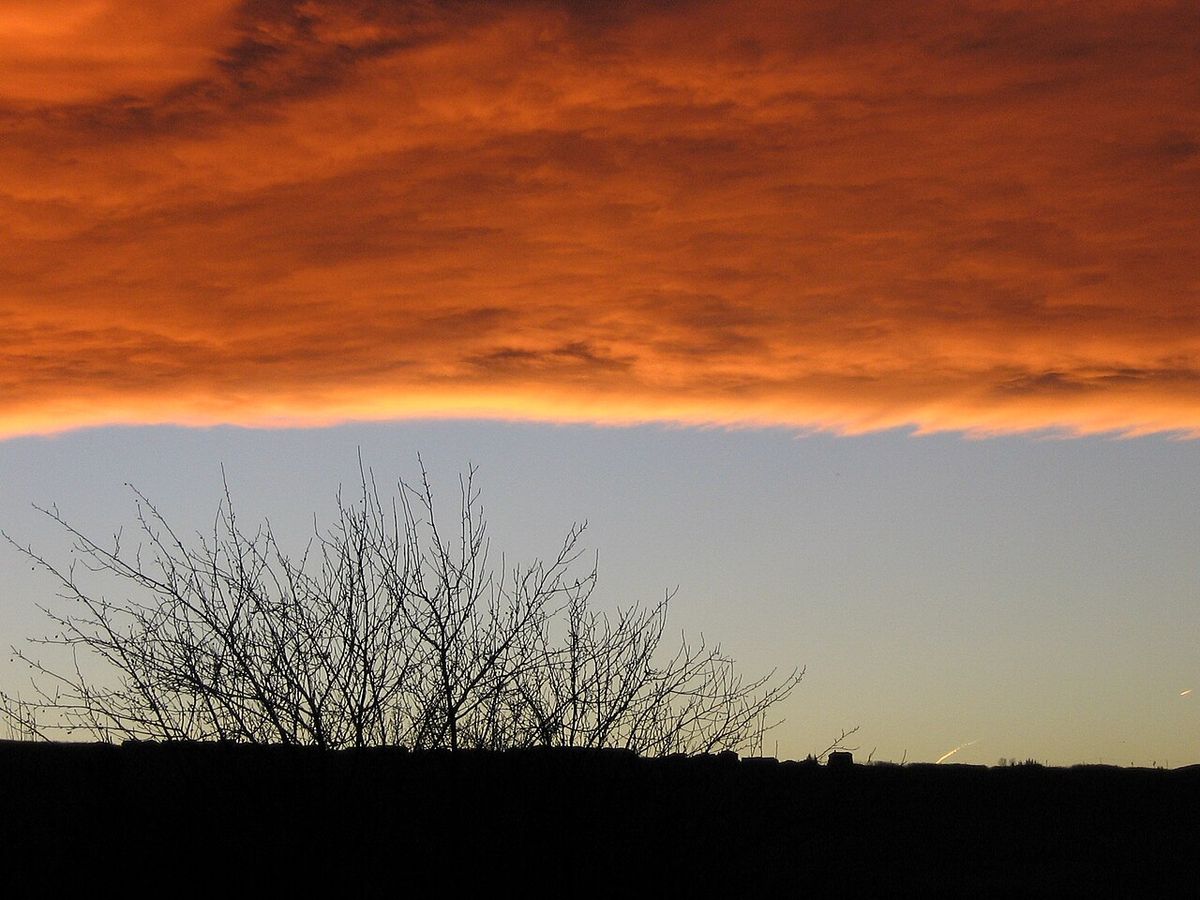
One of the most striking and recognizable features associated with the approach of an interior Chinook is the Chinook arch. This is a föhn cloud formation appearing as a band of stationary stratus clouds that forms parallel to, and east of, the mountain ranges. Caused by air rippling over the mountains due to orographic lifting, the arch can be mistaken for an approaching storm cloud, but it rarely produces precipitation. Instead, it is known for creating spectacular optical displays. The colours in the arch typically change throughout the day, beginning with yellow, orange, red, and pink hues at sunrise, shifting to grey around midday, and returning to pinks, reds, and oranges before sunset. The clash between the warm Chinook air mass and the cold Arctic air it displaces often creates a distinct weather front. This clash can remain stationary or oscillate, leading to dramatic temperature fluctuations within a single day, such as a warm morning, a bitterly cold afternoon, and a warm evening. A curtain of fog frequently marks the boundary where the warm western air meets the cold eastern air. A similar cloud formation, known as the nor'west arch, is observed in the föhn winds of eastern New Zealand. Observers also note a bank of clouds or cloud wall obscuring the mountains to the west, which appears to be an approaching storm but does not advance eastward.
Environmental and Human Impacts
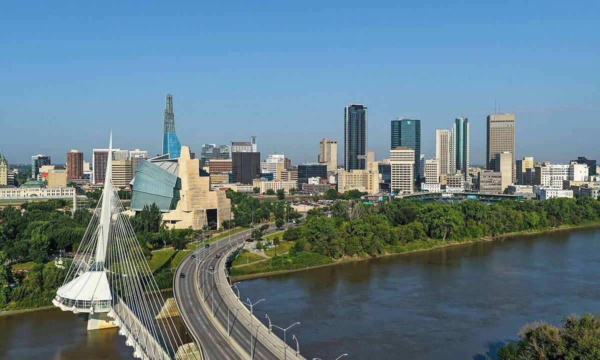
The interior Chinook wind has complex effects on both the natural environment and human communities. For gardeners and agriculture on the Great Plains, the frequent midwinter thaws are often more problematic than beneficial. Plants can be prematurely brought out of dormancy by persistent warm winds, or have their cold hardiness reduced even if they appear dormant, leaving them vulnerable to subsequent cold waves. Many plant species that thrive in areas with consistently cold winters, like Winnipeg, struggle in the Alberta Chinook belt due to this 'off-and-on' dormancy cycle. Native trees in affected areas tend to be smaller with less growth compared to the same species in non-Chinook regions. The winds also have noted impacts on human health, with studies from the University of Calgary's department of clinical neurosciences supporting a belief that the winds trigger an increase in migraine headaches among some residents. In major urban centres like Calgary, Chinooks can trap cold air and pollutants at street level while warmer air sits above, creating inversion smog. This leads to the peculiar situation where it can be cold and smoggy at ground level while significantly warmer at the tops of skyscrapers or on surrounding higher terrain.
Many plants that grow well in Winnipeg, where constant cold maintains winter dormancy, are difficult to grow in the Alberta Chinook belt. Examples of plants noted as difficult to grow there include basswood, some apple varieties, some raspberry varieties, some juneberry varieties, and Amur maples. Native trees in the Chinook-affected areas of Alberta are typically small with much less growth than the same species in areas not affected by these winds. This is caused by the 'off-and-on' dormancy throughout the winter induced by frequent midwinter thaws from warm Chinook winds.
- Basswood trees
- Certain apple varieties
- Specific raspberry cultivars
- Some juneberry varieties
- Amur maples

Geographic Extent and Notable Records
While most frequent in southern Alberta, the föhn wind phenomenon called Chinook occurs throughout inland western North America. In the United States, Montana experiences significant föhn wind activity during winter months, particularly along the Rocky Mountain Front. On rare occasions, these winds have reached as far east as Wisconsin. The region holds several world records for extreme and rapid temperature changes associated with these winds, which demonstrate the potent and dynamic nature of the Chinook and related föhn wind systems.
| Location | Record | Details | Date |
|---|---|---|---|
| Loma, Montana | Largest 24-hour temperature rise | Increased from -54 to 49 °F (-48 to 9 °C), a change of 103°F (57°C) | 15 January 1972 |
| Spearfish, South Dakota | Fastest temperature increase | Rose from -4 to 45 °F (-20 to 7 °C), a 49°F (27°C) change in 2 minutes | 22 January 1943 |
| Spearfish, South Dakota | Fastest subsequent temperature drop | Fell from 54 to -4 °F (12 to -20 °C), a 58°F (32°C) change in 27 minutes | 22 January 1943 |
| Rapid City, South Dakota | Fastest two-hour temperature drop | Decreased 47°F (26°C) from 60 to 13 °F (16 to -11 °F) | 10 January 1911 |
| Pincher Creek, Alberta | Notable Canadian temperature rise | Rose 25.5°C (45.9°F) from -23.2 to 2.2°C in one hour | 6 January 1966 |
Loma, Montana holds the world record for the most extreme temperature change in a 24-hour period, with an increase from -48 to 9 degrees Celsius on 15 January 1972. Spearfish, South Dakota holds the world record for the fastest temperature increase and decrease. There, on 22 January 1943, the temperature rose by 27 degrees Celsius in just two minutes and later fell by 32 degrees Celsius in 27 minutes. Rapid City, South Dakota holds the world record for the fastest temperature decrease, falling 26 degrees Celsius in two hours on 10 January 1911.
Related Wind Phenomena
Other localized wind patterns in western North America share mechanistic or cultural similarities with Chinooks. The opposite phenomenon of the coastal Chinook is the outflow wind known as a 'squamish' in parts of British Columbia, named for the Squamish people and the direction from Howe Sound. These consist of cold, dense continental air pouring out through river valleys and canyons in the Coast Mountains toward the coast. In Alaska, similar cold outflow winds are called williwaws. A föhn wind analogous to the interior Chinook occurs regularly in Alaska's Cook Inlet region, where air moves over the Chugach Mountains between Prince William Sound and Portage Glacier. Residents of Anchorage often mistakenly attribute these warm, snow-melting winds to air from Hawaii, confusing them with the moist coastal Chinooks of the Pacific Northwest. Other global wind patterns share the föhn mechanism, including the Diablo winds of northern California, the Santa Ana winds of southern California, the Southeast Australian foehn, and the nor'west arch winds of New Zealand. These winds are all types of katabatic or downslope winds occurring in the lee of mountains.
Related wind phenomena around the world include the katabatic wind, which is a downslope wind due to high-density air. The Diablo wind is a similar Northern California weather pattern. The Föhn wind is a general term for a dry downslope wind in the lee of mountains. The Southeast Australian foehn is a dry wind in southeastern Australia. The Nor'west arch is a föhn cloud formation seen in New Zealand. The Pineapple Express is a meteorological phenomenon involving warm, moist air from the tropics. The Santa Ana winds are a California weather phenomenon, and the Sundowner winds are another California weather pattern.
- Squamish: Cold outflow wind in BC coastal inlets.
- Williwaw: Cold outflow wind in Alaska.
- Chugach föhn: Warm föhn wind in Alaska's Cook Inlet.
- Diablo wind: Northern California föhn wind pattern.
- Santa Ana winds: Southern California weather phenomenon.
- Southeast Australian foehn: Dry wind in southeastern Australia.
- Nor'west arch: Föhn cloud formation in New Zealand.
- Pineapple Express: Meteorological phenomenon bringing tropical moisture to the Pacific Northwest.
Questions about Chinook wind
What is a Chinook wind?
A Chinook wind is a warm wind phenomenon in western North America. There are two primary types: the coastal Chinook, a warm, moist wind blowing from the Pacific Ocean onto the coasts of British Columbia, Washington, and Oregon. And the interior Chinook, a dry, warm föhn wind that descends the eastern slopes of mountain ranges like the Rockies, most famously affecting Alberta and eastern British Columbia. The interior Chinook is known for causing rapid and dramatic temperature increases in winter, often melting snow rapidly. Its speed is generally between 16 and 60 km/h, gusting to 100 km/h.
Why is it called a Chinook?
The name originates from the Chinook people, an Indigenous group who lived along the lower Columbia River near the Pacific Ocean. Euro-American settlers on the Pacific Northwest coast first used the term to describe the warming winds from the ocean. The name was later carried east by French-speaking Métis fur traders employed by the Hudson's Bay Company. In the interior plains, the Blackfoot people have their own descriptive name for the wind, calling it the 'snow eater'. Early records confirm 'tshinook' was the original pronunciation before the word moved east of the Rockies.
What is the Chinook arch?
The Chinook arch is a distinctive cloud formation that often appears ahead of an interior Chinook wind. It is a band of stationary stratus clouds that forms parallel to the mountains east of the ranges, caused by air rippling over the mountains due to orographic lifting. Contrary to its storm-like appearance, it rarely produces rain or snow. The arch is famous for creating stunning sunrise and sunset displays, with colours shifting from yellow and orange in the morning to grey at midday and back to pink and red in the evening. A similar formation in New Zealand is called the nor'west arch.
How fast can a Chinook raise the temperature?
Interior Chinooks can cause extremely rapid temperature increases. The most dramatic recorded example in Canada occurred in Pincher Creek, Alberta, on January 6, 1966, when the temperature rose by 25.5°C (45.9°F) in just one hour. More broadly, these winds are known to raise winter temperatures from well below freezing, often under -20°C, to as high as 10-20°C for periods lasting from a few hours to several days before temperatures plummet back to seasonal norms. The world record for fastest increase is 49°F (27°C) in two minutes, set in Spearfish, South Dakota in 1943.
Where in Canada do Chinooks occur most often?
In Canada, interior Chinooks are most frequent and pronounced in southern Alberta, particularly in a belt stretching from Pincher Creek and Crowsnest Pass through Lethbridge. This region averages 30 to 35 Chinook days per year. They can and do occur annually as far north as High Level in northwestern Alberta and Fort St. John in northeastern British Columbia, but their frequency and intensity diminish north of Red Deer. Coastal Chinooks are a persistent feature along the British Columbia coast, Washington, and Oregon.
Are Chinook winds dangerous?
While providing a welcome winter thaw, Chinook winds can pose hazards. The high winds, which can gust to 100 km/h, blow snow across roadways, reducing visibility and creating drifts, making driving treacherous. Empty semi-trailer trucks have been blown over on highways in southern Alberta like Highway 3. The rapid snowmelt can lead to slush and ice. For health, studies from the University of Calgary support a link between the winds and increased migraine headaches. They can also trap pollution in cities like Calgary, creating inversion smog when warm air overrides cold surface air.
Sources and further reading
- Chinook wind (Wikipedia)
- Weather History: Chinook Winds of Winter 1982 | News (ncei.noaa.gov)
- Chinook (thecanadianencyclopedia.ca)
- 5 facts about Chinooks, nature's gift to Calgary (cwf.ca)
- Chinook Wind, Montana | GoGood (gogoodtravel.com)
Checked by the Your Space Hamilton desk. Last updated 2026-10-20.