Magdalen Islands
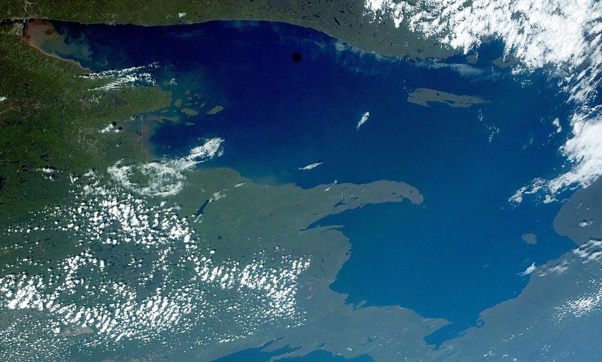
The Magdalen Islands, known in French as Îles de la Madeleine, are a distinctive Canadian archipelago located in the Gulf of St. Lawrence, forming part of the province of Quebec. The 12-island chain is recognized for its dramatic red sandstone cliffs, expansive sandy beaches, and a rich maritime culture shaped by both Acadian and anglophone communities. Administratively divided since 2005 into the majority-francophone Municipality of Îles-de-la-Madeleine and the majority-anglophone Municipality of Grosse-Île, the islands are a significant ecological and economic region. They are a major tourist destination and a vital area for fisheries, particularly lobster, while facing serious environmental challenges from coastal erosion and climate change.
Geology and Physical Geography
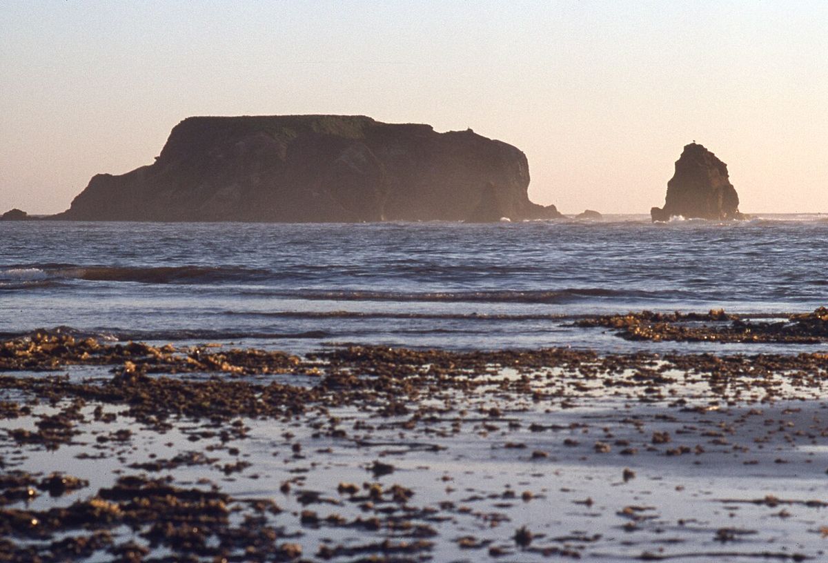
The physical character of the Magdalen Islands is defined by three principal rock types that together create a terrain of striking colour and form. Horizontal, soft sandstones of a distinctive blood-red colour are juxtaposed with harder, grey sandstones, both of which were formed during the Permian period when the region was a desert. In 2026, these sandstones were found to preserve fossils of plants and the tracks and burrows of burrowing animals, offering a window into a prehistoric past. Volcanic activity has also shaped the archipelago, creating rounded, symmetrical domes locally called Demoiselles, and where volcanic effusions met sandstone, large deposits of gypsum were formed. The archipelago's seven main islands are connected by long sand spits or tombolos, which are unconsolidated deposits that are constantly expanding at the expense of the rocky cores they link. A series of islets and rocks on the outskirts, such as Île Brion and the Rochers aux Oiseaux, are remnants of marine erosion, with cliffs of reddish and greyish-green sandstone rising hundreds of feet high. Supporting the islands underwater is a network of shoals and reefs that have posed hazards to navigation for centuries, yet also contribute to the region's status as one of the richest marine areas in Eastern Canada. A 2011 geomorphological study highlighted the impressive wealth of the islands' geological heritage, tracing the evolution of the terrain through a network of historical sites known as geomorphosites.
Coastal Dynamics and Erosion
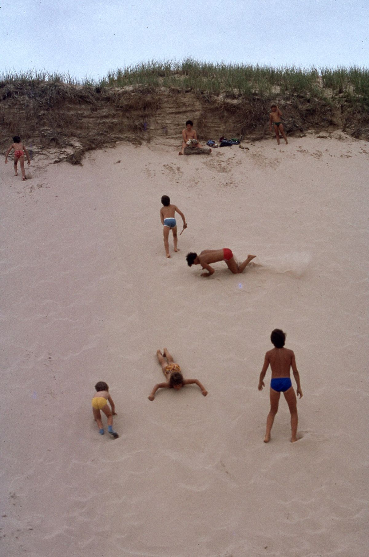
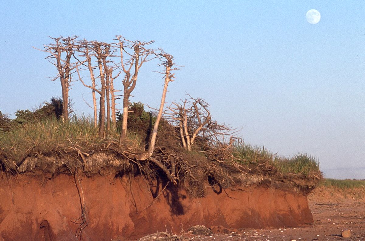
The coastline of the Magdalen Islands, measuring 385 kilometres in total with over 60 percent being sandy beaches, is in a state of constant and dramatic change driven by powerful natural forces. Coastal dynamics are amplified by persistent winds, with waves typically 0.5 to 2 metres high breaking onshore every four to seven seconds. The prevalent red sandstone cliffs, rarely exceeding 30 metres in height, are particularly friable and subject to rapid erosion from frost, ice, wave action, and sea spray, often losing more than one metre per year. This erosion carves out features such as caves, towers, and corbels, continually reshaping the shoreline. Since 2005, the rate of coastal erosion has doubled, averaging 0.5 metres per year, with some sections losing as much as 4.3 metres annually during the 2010s. Significant storm events, including a major windstorm in November 2018 and post-tropical storm Dorian in September 2019, have accelerated this loss. The primary driver is climate change, which has reduced protective winter sea ice cover at a rate of approximately 12 percent per decade and caused sea levels around the islands to rise at about 7 millimetres per decade, double the global average. The consequences are severe, with key roads at perpetual risk of washouts, critical infrastructure like the hospital and city hall sitting near deteriorating cliffs, and rising waters threatening to contaminate freshwater aquifers. Nearly a dozen homes have already been relocated due to these threats.
Climate and Environmental Change
The maritime climate of the Magdalen Islands is markedly different from mainland Quebec, characterized by milder conditions in all seasons due to the tempering influence of the surrounding Gulf of St. Lawrence. Winters are relatively mild, springs are cool, summers experience occasional heat waves, and falls are typically warm, with the islands recording the least annual frost in the province. Despite the maritime influence, the Köppen climate classification is humid continental due to winters that average far below freezing by oceanic standards. The highest temperature ever recorded was 31.1 °C on 31 July 1949, while the lowest was -27.2 °C on 14 February 1891. Since the late 19th century, the islands have warmed by 2.3 °C, a rate twice the global average, triggering a cascade of environmental changes. The most visible impact is the drastic reduction in winter sea ice, which historically encased and protected the islands from storms but is now shrinking by about 1,437 square kilometres annually. This loss, combined with accelerated sea-level rise, has left the shoreline more vulnerable to powerful wave action during winter storms. The changing climate has also affected local ecology and economy, with warmer waters contributing to increased lobster harvests while simultaneously threatening the traditional winter ecotourism industry centred on observing harp seal pups on the pack ice.
Ecology and Protected Areas
The Magdalen Islands host a diverse array of ecosystems, from sandy beaches and dunes to moorlands and lagoons, which support significant wildlife. The islands' extensive beaches provide critical habitat for the endangered piping plover, a shorebird whose nesting areas are highly sensitive to human disturbance. During courtship, males perform display flights over breeding territory and exhibit a distinctive high-stepping gait on the ground. The plover's diet consists of insects, marine worms, and crustaceans, and after a 26- to 28-day incubation period for its typically four-egg clutches, the young are initially brooded by both parents before the female departs. Two major protected areas safeguard the archipelago's natural heritage. The Rochers aux Oiseaux, discovered by Jacques Cartier in 1534 and named a Migratory Bird Sanctuary in 1974, are a cluster of inaccessible red sandstone rocks about 30 kilometres from Grosse-Île that serve as a vital nesting site for thousands of seabirds, including gannets and razorbills. On La Grosse Île, the Pointe de l'Est National Wildlife Area encompasses 748 hectares of characteristic island terrain, including reddish rocky cores, wind-shaped dunes, moors, beaches, and ponds. The reserve offers public access through six hiking trails ranging from 0.6 to 1.8 kilometres in length, such as L'Échouerie and Le Rabougri, allowing visitors to experience the region's geodiversity.
- Piping Plover (Charadrius melodus): Endangered shorebird nesting on island beaches.
- Rochers aux Oiseaux Migratory Bird Sanctuary: Established 1974. Hosts gannets, razorbills, and other seabirds.
- Pointe de l'Est National Wildlife Area: 748-hectare reserve on La Grosse Île with six hiking trails.
- Key Trails: L'Échouerie, Le Rabougri, La Camarine, La Lande, Le Mitan, Le Bol-à-Soupe.
Human Geography and Demographics
While politically part of Quebec, the Magdalen Islands are geographically closer to the Maritime provinces and Newfoundland than to the Gaspé Peninsula on the Quebec mainland. The archipelago falls within the traditional territory of the Mi'kmaq Nation, known as Mi'kma'ki, where the islands are called Menagoesenog, meaning 'islands battered by the surf.' Administratively, the islands form the territory equivalent to a regional county municipality and the census division of Les Îles-de-la-Madeleine within the Gaspésie-Îles-de-la-Madeleine region. Since 2005, this territory has been divided into two coextensive municipalities. The central and larger municipality is Les Îles-de-la-Madeleine, with a 2011 census population of 12,291 and led by Mayor Gaétan Richard. The smaller Municipality of Grosse-Île, with a population of 490 and led by Mayor Rose Elmonde Clarke, is home to most of the islands' anglophone community. A small English-speaking community also resides on Île d'Entrée (Entry Island). The islands' nomenclature reflects a history of French and English influences, with many locations having dual names, such as Île du Cap aux Meules (Grindstone) and Île du Havre Aubert (Amherst Island). This cultural blend is a defining feature of the Madelinot identity.
Economy and Industry
The economy of the Magdalen Islands is a blend of traditional industries and modern tourism, all deeply connected to the marine environment. Tourism is a major component, driven by the islands' vast white sand beaches, eroding sandstone cliffs, and opportunities for outdoor activities like bicycle camping, sea kayaking, windsurfing, and kitesurfing. A unique winter ecotourism activity involves observing newborn harp seal pups on the pack ice, though this season has been cancelled several times recently due to reduced ice cover. The fishing industry remains a traditional occupation, with lobster becoming increasingly lucrative. Industrial activity is anchored by the Canadian Salt Company Seleine Mines on Grosse-Île, which opened in 1982. This operation extracts salt from an underground mine 30 metres below the Grande-Entrée Lagoon, producing one million tonnes of road salt annually for markets in Quebec, Atlantic Canada, and the eastern United States, and employs approximately 200 people. Energy production is currently reliant on the Cap-aux-Meules oil-fired thermal power plant, a 67 MW facility that generates 125,000 tonnes of greenhouse gases per year. A major infrastructure project is underway to connect the islands to Hydro-Québec's main grid via a 225-kilometre undersea HVDC cable by 2027, a $2.3 billion investment projected to reduce emissions by 94 percent.
| Sector | Key Activity | Notes |
|---|---|---|
| Tourism | Beaches, outdoor sports, seal watching | Seal watching season impacted by reduced ice cover. |
| Fishing | Lobster harvesting | Catches have doubled, potentially due to warmer waters. |
| Industry | Salt mining (Seleine Mines) | Produces 1M tonnes/year, employs 200 people. |
| Energy | Thermal power generation | 67 MW plant. HVDC cable connection planned for 2027. |
Infrastructure and Future Challenges
The Magdalen Islands face significant infrastructure challenges directly tied to their environmental vulnerability and geographic isolation. The primary transportation link to the mainland is provided by the Coopérative de transport maritime et aérien, which operates ferry services, while Quebec Route 199 is the sole provincial highway on the islands. The accelerating pace of coastal erosion poses an immediate threat to this infrastructure, with key roads at perpetual risk of washouts from storm surges and cliff collapses. Critical public buildings, including the hospital and city hall, are situated alarmingly close to deteriorating cliffs, necessitating costly potential relocations or protective measures. The energy sector is undergoing a major transition to address both reliability and environmental concerns. The planned 225-kilometre undersea high-voltage direct current cable, scheduled for completion in 2027, represents a $2.3 billion investment over 40 years to connect the islands to Hydro-Québec's main grid. This connection is expected to reduce greenhouse gas emissions from electricity generation by 94 percent and result in modest cost savings. Beyond infrastructure, the community must contend with the threat of saltwater intrusion into freshwater aquifers due to sea-level rise, which could compromise drinking water supplies. Adapting to these interconnected challenges of erosion, climate change, and sustainable development will define the future of the archipelago.
Questions about Magdalen Islands
How is climate change affecting the Magdalen Islands?
Climate change is having a serious impact on the islands. They have warmed 2.3°C since the late 19th century, twice the global average. This has led to a drastic reduction in protective winter sea ice, accelerated coastal erosion averaging 0.5 metres per year since 2005, and sea-level rise that threatens freshwater aquifers. Paradoxically, warmer waters have contributed to increased lobster harvests.
What are the main economic activities on the islands?
The key economic activities are tourism, fishing, and salt mining. Tourism centres on the beaches, outdoor sports, and winter seal watching. Lobster fishing has become highly lucrative, with harvests often doubling recent historical norms. The Canadian Salt Company Seleine Mines on Grosse-Île produces one million tonnes of road salt annually and employs about 200 people.
What is being done to protect the islands from erosion?
Direct protection measures are challenging due to the scale of erosion. The primary response has been relocation, with nearly a dozen homes moved inland. Long-term adaptation involves planning for threatened infrastructure. There is no single large-scale engineering solution currently in place. Community and governmental efforts focus on monitoring, planning, and adapting to the ongoing changes.
Where are the Magdalen Islands located?
The Magdalen Islands are a Canadian archipelago in the Gulf of St. Lawrence. Administratively, they are part of the Gaspésie-Îles-de-la-Madeleine region in the province of Quebec. Geographically, the islands are closer to the Maritime provinces and Newfoundland than to the Gaspé Peninsula on the Quebec mainland. The archipelago consists of 12 islands and is divided into two municipalities: the majority francophone Municipality of Îles-de-la-Madeleine and the majority anglophone Municipality of Grosse-Île. The islands are also coextensive with the urban agglomeration of Les Îles-de-la-Madeleine.
What causes the famous red cliffs on the Magdalen Islands?
The famous red cliffs are composed of soft, horizontal, blood-red sandstone formed during the Permian period when the area was a desert. These distinctive red sandstones are juxtaposed with harder, grey sandstones, and both types form the island massifs. The red sandstone cliffs are friable and rarely more than 30 metres high. They are subject to rapid erosion, often losing more than one metre per year due to the action of frost, ice, waves, and sea spray. This erosion creates features such as caves, towers, and corbels along the coastline.
When will the Magdalen Islands be connected to Hydro-Québec's main power grid?
Hydro-Québec plans to connect the Magdalen Islands to the main provincial power grid upon completion of an undersea cable in 2027. The project involves building a 225 kilometre high voltage direct current (HVDC) cable from the mainland. This connection will replace the islands' current 67 MW oil fired thermal power plant on Cap aux Meules, which generates 125,000 tonnes of greenhouse gases annually. The plan is estimated to cost $2.3 billion over 40 years and is expected to reduce emissions from the islands' electricity generation by 94 percent.
Sources and further reading
- Magdalen Islands (Wikipedia)
- Camping and parking, Tourism Îles de la Madeleine (tourismeilesdelamadeleine.com)
- Îles de la Madeleine | Magdalen Islands (quebecmaritime.ca)
- A Practical Guide to Camping in the Magdalen Islands (experience.transat.com)
- A guide to the best hikes in the Magdalen Islands (maisonmer.ca)
Checked by the Your Space Hamilton desk. Last updated 2026-10-21.