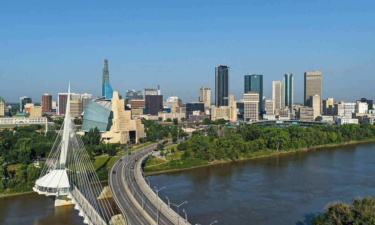
Prince Albert, Saskatchewan
Prince Albert is the third largest city in the province of Saskatchewan, Canada, following Saskatoon and Regina. Situated near the geographic centre of the province on the banks of the North Saskatchewan River, it serves as a crucial service and retail hub for northern communities, earning its nickname as the "Gateway to the North. The city is a focal point for forestry, agriculture, and mining sectors, and is the gateway to the vast wilderness of Prince Albert National Park. With a rich history tied to Indigenous settlement, the fur trade, and political movements, Prince Albert has also been represented in Parliament by three Canadian prime ministers.
History and Founding
The area now known as Prince Albert has been a significant meeting place for millennia, known to the Cree as kistahpinanihk, meaning "sitting pretty place" or "great meeting place." The first European trading post was established by Peter Pond in 1776. Permanent settlement began in 1862 when James Isbister, an Anglo-Métis employee of the Hudson's Bay Company, farmed the site, which became known as Isbister's Settlement. In 1866, Reverend James Nisbet of the Canada Presbyterian Church arrived to establish a mission for the Cree, naming it after Prince Albert, the late consort of Queen Victoria, from which the city derives its present name. The community grew from two main settlements, "The Mission" and "Porter Town," which eventually amalgamated.
Prince Albert played a notable role in the political movements leading to the North-West Rebellion of 1885. In 1884, figures like Honore Jaxon and James Isbister were involved in the movement that brought Louis Riel back to Canada. During the rebellion, Prince Albert Volunteers suffered heavy casualties at the Battle of Duck Lake, and settlers took refuge in a stockade in the town. After the rebellion, with a population of about 800, Prince Albert was incorporated as a town in 1885, with Thomas McKay as its first mayor. It served as the capital of the District of Saskatchewan from 1882 until Saskatchewan became a province in 1905, after which Regina was designated the provincial capital. The city was incorporated in 1904.
The city's development was significantly influenced by transportation and infrastructure hopes. Early growth was fueled by speculation that the transcontinental railway would pass through the area, but when the Canadian Pacific Railway chose a more southerly route, expansion slowed. Prince Albert later became the terminus for several railway branch lines. The establishment of Prince Albert National Park in 1945 provided a lasting boost through tourism.
Geography and Climate
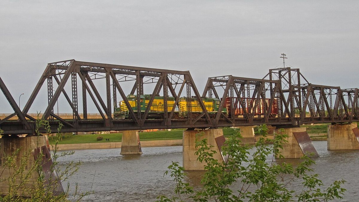
Prince Albert is located on the White Fox Plain within the Saskatchewan River lowlands, a transition zone between the aspen parkland to the south and the southern boreal forest to the north. The North Saskatchewan River bisects the city, with the majority of the population and commercial areas situated on the south shore. The northern shore contains sparse neighbourhoods, industrial areas, and the Prince Albert Airport. The region's soils vary from black chernozemic soils south of the river to brunisolic sandy soils in the forested north, with the city itself lying on valley complex regosolic soils. This location marks the beginning of Saskatchewan's treeline, with jack pine and other boreal species dominating the landscape to the north.
The area's geology was shaped by prehistoric glacial Lake Agassiz, with its ancient shoreline visible in the nearby Narrow Hills Provincial Park. The region is rich in fossils, including Quaternary bivalve mollusk shells along the Shell River and discoveries of bison bones. Prince Albert experiences a humid continental climate, bordering on subarctic, characterized by long, cold winters and warm, brief summers. The coldest month is January, with an average low of -22.8°C, while July is the warmest, with an average high of 24.2°C. Extreme temperatures have ranged from a record high of 39.4°C in July 1941 to a record low of -56.7°C in February 1893.
Demographics and Community
According to the 2021 Canadian census, Prince Albert had a population of 37,756, representing a 5.1 percent increase from 2016. The population density was 562.1 people per square kilometre. The city has one of the highest proportions of Indigenous residents of any Canadian city, with 44.65 percent of the population identifying as Aboriginal in the 2021 census. The city is part of Treaty 6 territory and is home to First Nations including the Dakota, Woodland Cree, Plains Cree, Swampy Cree, and Dene, as well as the Métis Nation.
Educational attainment among residents over 25 is relatively high, with 82.7 percent holding a high school diploma or equivalent and 55.3 percent possessing a post-secondary certificate, diploma, or degree. In terms of religion, 58.8 percent of residents identified as Christian in 2021, while 36.1 percent reported having no religious affiliation. English is the predominant language, with over 80 percent of the population being English Canadian. The city also has a notable immigrant community, with more than 20 percent of the population being foreign-born or second-generation immigrants.
Economy and Major Industries
Prince Albert's economy is diverse, serving as a regional service centre for northern Saskatchewan's resource sectors and a retail hub for a trade area encompassing approximately 140,000 people. Its strategic location between agricultural lands to the south and the boreal forest to the north supports key industries like forestry, agriculture, mining, and tourism. The city's location has benefited the community as an agriculture, forestry, tourism, mining, retail, and service centre for the immediate market and the northern communities. Government services remain a significant employer, accounting for about 11 percent of the workforce, supported by three correctional facilities: the Prince Albert Correctional Centre, Pine Grove Correctional Centre, and the Saskatchewan Federal Penitentiary.
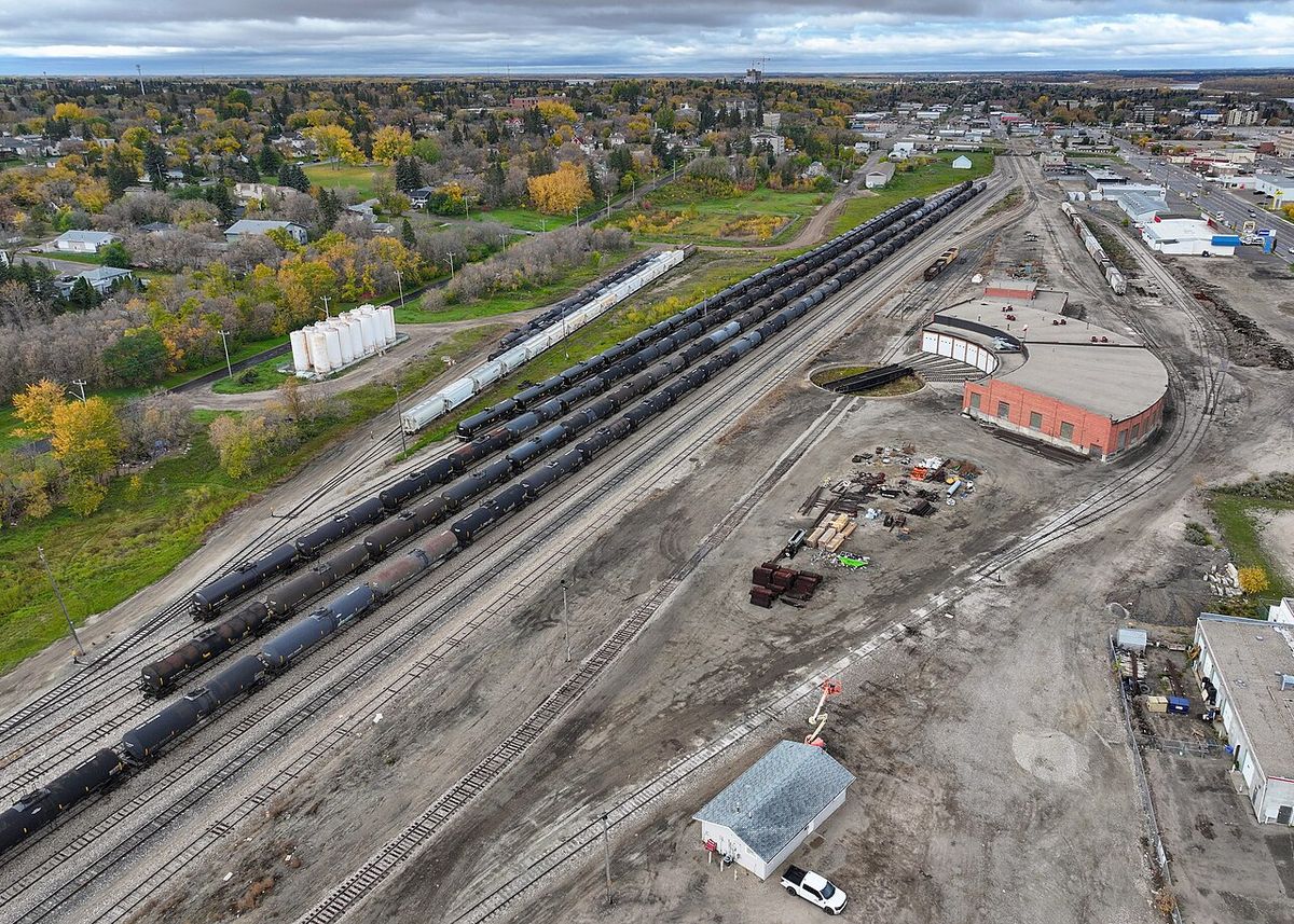
The forestry industry has been historically important, though it has faced challenges. The Prince Albert Pulp Company mill, opened in 1968, was a major employer until its closure in 2006. In a significant redevelopment, the former pulp mill site was sold to the BMI Group, which plans to transform the 2,000-acre property with rail access and substantial power capacity into a multi-tenant industrial and logistics campus. Other economic prospects include diamond exploration in the Fort à la Corne region east of the city, bio-fuel development leveraging the rich agricultural region, and value-added opportunities linked to northern uranium mining.
Major current infrastructure projects are poised to be economic drivers. The Prince Albert Victoria Hospital is undergoing a major expansion, scheduled for completion in 2028. The city is also undertaking a downtown revitalization project, which includes upgrading century-old water and sewer infrastructure, enhancing streetscaping, and converting one-way streets back to two-way traffic to improve accessibility and vibrancy. The city offers development incentives for new commercial construction and renovations, particularly within the Downtown Business Improvement District.
Culture, Attractions and Recreation
Prince Albert offers a variety of cultural institutions and historical sites. Museums include the combined Evolution of Education Museum and Rotary Museum of Police and Corrections, the Historical Society Museum located in an old fire hall, and the John G. Diefenbaker House, a historic site open to the public. The Prince Albert Heritage Museum, built around 1911, is a designated Municipal Heritage Property. The city's architectural heritage includes buildings like the Romanesque-style Sacred Heart Cathedral, built in 1914 with paintings by Berthold Imhoff, and the Cathedral Church of St. Alban the Martyr.
Points of interest in and around the city include the St. Louis Light, a reputed paranormal phenomenon south of the city, and the historic Fort de la Corne, the furthest westward post of New France. The Prince Albert Sanatorium, completed in 1930, treated tuberculosis patients. Outdoor recreation is centred on Prince Albert National Park, located 51 kilometres north, and the Kinsmen Ski and Snowboard Centre at Little Red River Park. The city has hosted major events including the 1993 North American Indigenous Games, the 2018 U-18 Men's Softball World Cup, and is scheduled to host the 2025 Men's Softball World Cup at Prime Minister's Park.
- Prince Albert Raiders: Western Hockey League team, Memorial Cup champions in 1985, playing at the Art Hauser Centre.
- Prince Albert Mintos: Saskatchewan Midget AAA Hockey League team, Telus Cup national champions in 2006, 2007, and 2014.
- Art Hauser Centre: Multi-purpose arena with a seating capacity of 3,571 for hockey.
- Prince Albert National Park: Vast protected area featuring lakes, forests, and wildlife, a major tourism draw.
- Downtown Revitalization: Ongoing project to upgrade infrastructure, improve streetscaping, and revert to two-way traffic.
- Keyhole Castle: A local heritage building known for its unique architecture.
Infrastructure and Transportation
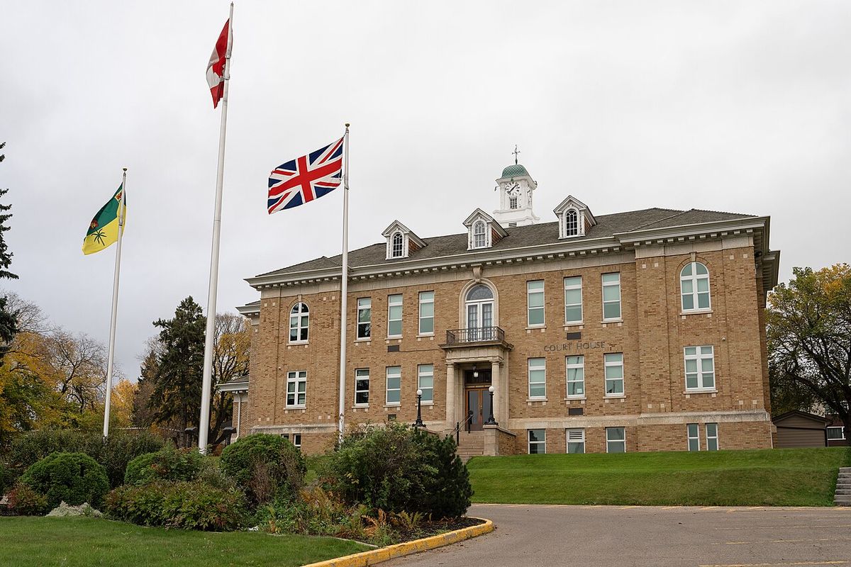
Prince Albert's infrastructure reflects its role as a northern hub. A critical piece of transportation infrastructure is the Diefenbaker Bridge, the only road bridge crossing the North Saskatchewan River within the city and the sole river crossing connecting southern and northern Saskatchewan for many kilometres. The partial closure of the bridge in 2011 due to structural cracks highlighted regional concerns about the need for additional crossings. The city is served by the Prince Albert Airport, located on the north shore of the river, which facilitates travel and commerce for the region.
Historically, the city's growth was linked to trails and railways. In the 19th century, a trail connected the mission to Fort Carlton and the Carlton Trail, the main land transportation route in Western Canada. The Qu'Appelle-Prince Albert Trail was a major mail and freight route from 1883, transporting goods from the rail depot at Qu'Appelle. Prince Albert became a railway terminus, served by lines including the Qu'Appelle, Long Lake and Saskatchewan Railroad. Today, rail access remains an asset, particularly for the redevelopment of the former pulp mill site. The city faces ongoing challenges related to maintaining and upgrading its aging water and sewer infrastructure, which is over a century old in parts of the downtown core.
Notable Political Representation
The federal riding of Prince Albert holds a unique distinction in Canadian political history, having been represented by three prime ministers. Sir Wilfrid Laurier, the seventh prime minister, briefly represented the Prince Albert area in the Saskatchewan provisional district in 1896. William Lyon Mackenzie King, the tenth prime minister, served as the Member of Parliament for Prince Albert from 1926 until 1945. The most enduring connection is with John Diefenbaker, the thirteenth prime minister, who represented the Prince Albert constituency from 1953 until his death in 1979. Diefenbaker's former home in the city is preserved as a public historic site, and his constituency office building remains a local landmark. The city has also welcomed royal visits, including from Princess Margaret in 1958 and 1980, the Duke and Duchess of York in 1989, and the Earl of Wessex in 2003.
Questions about Prince Albert, Saskatchewan
Why is Prince Albert called the 'Gateway to the North'?
Prince Albert earned the nickname 'Gateway to the North' due to its geographic position as the northernmost major urban centre in Saskatchewan. It serves as a crucial transportation, retail, and service hub for the numerous smaller communities and resource industries located throughout the northern half of the province. The city is the last major stop before the vast boreal forest and wilderness areas, including Prince Albert National Park. Its role as a supply and administrative centre for northern Saskatchewan solidified this moniker.
What is there to do in Prince Albert National Park?
Prince Albert National Park, located 51 kilometres north of the city, offers a wide range of outdoor activities centred on its pristine lakes, dense forests, and diverse wildlife. Visitors can enjoy camping, hiking on extensive trail networks, canoeing, kayaking, and fishing. The park is also known for birdwatching and opportunities to see animals like elk, black bears, and beavers. In the winter, activities shift to cross-country skiing, snowshoeing, and ice fishing. The park's visitor centres provide educational programs about the region's natural and cultural history.
Which prime ministers represented Prince Albert?
Three Canadian prime ministers have represented the Prince Albert federal riding. Sir Wilfrid Laurier represented the area in 1896. William Lyon Mackenzie King was the MP for Prince Albert from 1926 to 1945. Most famously, John Diefenbaker represented the constituency from 1953 until his death in 1979, serving as prime minister from 1957 to 1963. Diefenbaker's deep connection to the city is commemorated at the John G. Diefenbaker House, a historic site open to the public.
What major industries support Prince Albert's economy?
Prince Albert's economy is supported by a mix of government services, retail, and resource sectors. It is a major service centre for northern Saskatchewan's forestry, mining, and agricultural industries. Government services, including three correctional facilities, employ a significant portion of the workforce. Retail trade serves a large regional area. Historically, forestry was dominant through the Prince Albert Pulp Company, and there are ongoing efforts to redevelop that industrial site. Future economic drivers include the expansion of the Victoria Hospital, downtown revitalization, and potential developments in diamond mining, bio-fuels, and value-added uranium processing.
What is the population of Prince Albert and its demographic makeup?
According to the 2021 Canadian census, Prince Albert had a population of 37,756. The city has one of the highest proportions of Indigenous residents in Canada, with 44.65 percent of the population identifying as Aboriginal. It is part of Treaty 6 territory and home to several First Nations and the Métis Nation. In terms of religion, about 58.8 percent identify as Christian, while 36.1 percent report no religious affiliation.
What are the major current development projects in Prince Albert?
Several major projects are shaping Prince Albert's future. The Prince Albert Victoria Hospital is undergoing a significant expansion, with completion scheduled for 2028. A downtown revitalization project is underway, focusing on upgrading aging water and sewer infrastructure, improving streetscaping, and converting downtown streets back to two-way traffic to boost accessibility and economic activity. On a larger scale, the former pulp mill site has been sold to the BMI Group for redevelopment into a multi-tenant industrial and logistics campus, representing a major economic diversification opportunity for the region.
Sources and further reading
- Prince Albert, Saskatchewan (Wikipedia)
- City of Prince Albert: Home (citypa.ca)
- City of Prince Albert, Saskatchewan (businessinfocusmagazine.com)
Checked by the Your Space Hamilton desk. Last updated 2026-10-29.