Medicine Hat
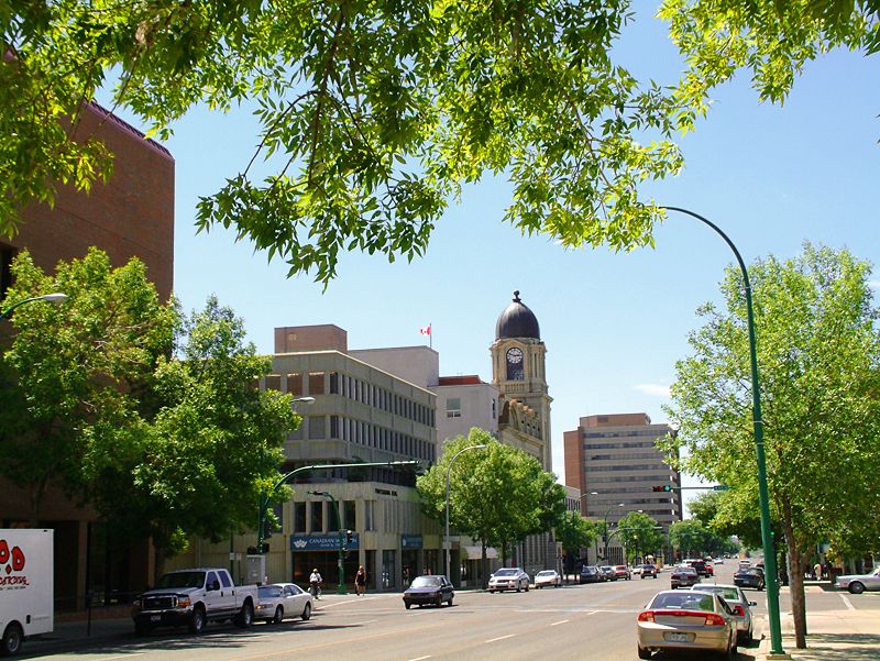
Medicine Hat is a city in southeast Alberta, Canada, situated along the South Saskatchewan River near the Saskatchewan border. As the eighth-largest city in Alberta with a population of 63,271, it is a significant regional service centre known historically as 'The Gas City' for its vast natural gas reserves. The city holds national recognition as Canada's sunniest place, averaging 2,544 hours of sunshine annually, and achieved a notable milestone in 2021 by becoming the first Canadian city to reach 'functional zero' chronic homelessness. Its economy, once dominated by resource extraction, has diversified into manufacturing, agriculture, and technology, while its cultural identity is deeply rooted in its industrial heritage and Indigenous history.
History and name origins
The name Medicine Hat is an English interpretation of the Blackfoot word 'Saamis', referring to the eagle tail feather headdress worn by medicine men. Several Indigenous legends are associated with the name, including one involving a mythical river serpent named Soy-yee-daa-bee and another recounting a battle where a Cree medicine man lost his headdress in the South Saskatchewan River. The area's gently sloping valley and converging waterways made it a gathering place for migratory bison herds and, for thousands of years, for Indigenous peoples including the Blackfoot, Cree, and Assiniboine nations. Archaeological excavations at the Saamis Archeological Site along Seven Persons Creek, supervised by Medicine Hat College scholars beginning in 1971, revealed artifacts from the Old Women's Phase dating to around AD 1500 and AD 1750. Further west, the Hillside Campsite excavation in 2000 uncovered even older Pelican Lake Phase remains dated to between 1000 and 1500 BC, confirming deep human habitation long before European contact.
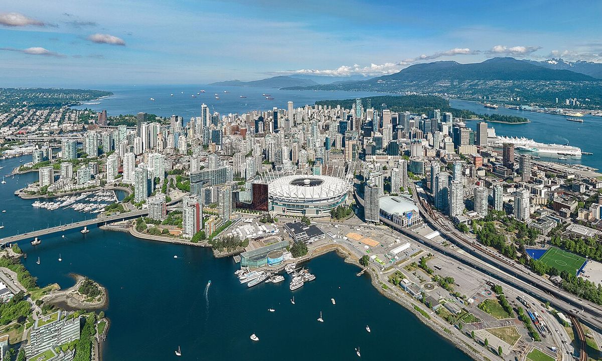
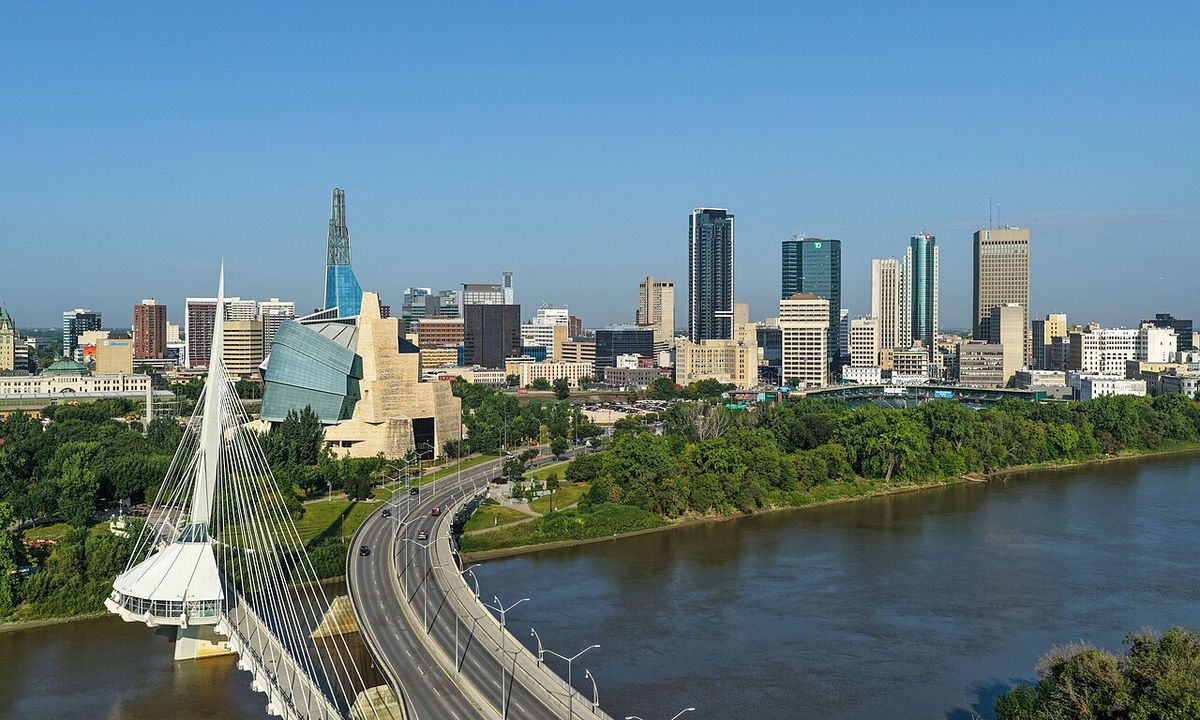
Modern settlement began in 1883 when the Canadian Pacific Railway reached the area and established a townsite, naming it from the local legends. As growth took place, in 1889 Medicine Hat built the first hospital west of Winnipeg, establishing early community infrastructure. The CPR established this town as a railway divisional point, and the frontier settlement was incorporated as a town on October 31, 1898. In 1905, when the province of Alberta was founded, it took in Medicine Hat, which had formerly been in the district of Assiniboia. Medicine Hat was incorporated as a city on May 9, 1906, and the original CPR depot, still standing, has been a National Historic Site since 1992. The city's strategic location roughly halfway between Winnipeg, Manitoba, and Vancouver, British Columbia, on the Pacific Coast cemented its role as a transportation and service hub for the surrounding agricultural region.
Industrial development and growth
Rich in natural resources including natural gas, coal, clay, and farmland, Medicine Hat industrialized rapidly in its early days, earning the nickname 'the Pittsburgh of the West'. A number of large industries located here, attracted by the cheap and plentiful energy resources, including coal mines, brick works, pottery and glass bottle manufacturing plants, and flour mills. Altaglass, an art and functional glass production company, operated in Medicine Hat from 1950 to 1988. With transportation access via the railway and river, the town became a service and trade center for the agriculture and its products, both commodity crops and livestock, of the surrounding area. Between 1909 and 1914 the town had an economic boom that increased the population to more than 10,000, though little growth occurred between the World Wars.
During World War II, one of the largest prisoner-of-war camps in Canada was established here in January 1943 and was used primarily to hold German and Italian prisoners until April 1946. It was not until the 1950s of the post-war period that the town again had commercial growth. In the 21st century, Medicine Hat promotes its quality of life and affordable cost of living, enjoying the savings of a city-owned gas utility and power generation plant. Major industries have included chemical plants, a Goodyear tire and rubber plant, greenhouses, numerous oil and gas related companies, a foundry, and I-XL Industries, a brickworks dating from the 1880s. The city's historical reliance on natural gas, which inspired Rudyard Kipling's famous remark about having 'all hell for a basement', has shifted significantly. Faced with fluctuating prices, Medicine Hat announced plans in 2019 to close roughly 2,000 of its natural gas wells, marking a strategic pivot away from fossil fuel dependence. This transition is part of a broader effort to diversify the economy towards more sustainable and innovative sectors, including renewable energy and technology, while maintaining its foundational manufacturing and agricultural base.
Geography, climate, and neighbourhoods
Medicine Hat's landscape is dominated by the dramatic valley of the South Saskatchewan River and its tributaries, Seven Persons Creek and Ross Creek. These waterways have carved cliffs and finger coulees throughout the city, while beyond the valley the land is flat to slightly rolling short-grass prairie. Located about 40 kilometres to the east lies the Badlands Guardian Geological Feature, a natural landscape formation resembling a head wearing a feathered headdress, measuring 300 metres wide and formed in inverse relief by valleys. During the 2013 Alberta floods, the city, located downstream from the confluence of the Bow and Oldman Rivers, evacuated 10,000 residents as the South Saskatchewan River peaked at 5,460 cubic metres per second, exceeding the previous 1995 record of 5,100 cubic metres per second.
Located in the steppe region known as Palliser's Triangle, Medicine Hat has a semi-arid climate with cold winters and warm to hot, dry summers. Chinook winds frequently moderate winter cold, while low humidity makes summer heat more tolerable due to rapid cooling in the evening. The city is widely known as the sunniest in Canada, receiving an average of 2,544 hours of sunshine annually and less precipitation than most other Prairie cities, with maximum precipitation typically occurring in late spring and early summer. The highest temperature ever recorded was 42.2 °C on July 12, 1886, and the coldest was -46.1 °C on February 4, 1887.
The city is composed of numerous distinct neighbourhoods, each with its own character and development history. Key residential areas include the historic North Flats or River Flats, the oldest area in the city located northeast of the CPKC marshalling yards near the river and downtown. Crescent Heights, built mainly in the 1950s through to the 1960s, occupies the entire ridge north of the river valley. More recent developments include Hamptons, a south-end neighbourhood with architectural controls approved in 2005, and Ranchlands, developed in the mid-2000s in the northeast sector including lands both above and in the river valley. The Southeast Hill and Southwest Hill areas are among the oldest, originally housing CPR workers and now home to multiple schools and the city's hospital. Southlands, opened in 2007, features a significant regional commercial centre with major retailers like Walmart, Staples, Canadian Tire and The Home Depot.
- Cottonwood: Located above the Cottonwood golf course, between the light industrial area and the airport, overlooking the World's Largest Teepee.
- Crestwood and Norwood: Older area built mainly in the 1950s on a plateau southeast of the South Flats, home to the Medicine Hat Exhibition & Stampede grounds.
- Parkview: Subdivision developed in the 1990s, north of the South Saskatchewan River adjacent to Police Point Park and Medicine Hat Golf and Country Club.
- River Heights: Located on the Southwest Hill north of the hospital, includes River Heights Elementary School and an extended care wing.
- Ross Glen: Low-density middle-class neighbourhood in the southeast end of the city, first developed in the late 1970s.
- Saamis Heights: South sector community developed in under five years, bordering the Seven Persons Creek valley and providing walkout view lots.
- South Ridge: First residential development south of the Trans-Canada Highway from the late 1970s, adjacent to the World's Largest Teepee.
- South Vista Heights: A new residential suburban community south of the Trans-Canada Highway.
Demographics and population trends
According to the 2021 Census of Population, the City of Medicine Hat had a population of 63,271 living in 27,216 of its 28,732 total private dwellings. With a land area of 111.97 square kilometres, it had a population density of 565.1 per square kilometre. This count was virtually unchanged from its 2016 population of 63,260, which itself represented a 5.4% change from the 2011 population of 60,005. The population according to the city's own 2015 municipal census was 63,018, a change of 3% from its 2012 municipal census population of 61,180. The city's ethnic composition in 2021 was 85.9% white or European, 9.0% visible minorities, and 5.1% Indigenous. The largest visible minority groups were South Asian at 1.9%, Filipino at 1.8%, Black at 1.5%, and Chinese at 1.0%.
English was the first language for 89.6% of residents as of the 2021 census. Other common mother tongues were German at 1.3%, Tagalog at 1.0%, French at 0.9%, Spanish at 0.9%, Arabic at 0.6%, and Chinese languages at 0.5%. Religious affiliation has shifted significantly over the past decade, with 52.8% identifying as Christian in 2021, down from 68.1% in 2011. Within that, 20.7% were Catholic, 16.6% were Protestant, 9.0% were Christian not otherwise specified, and other Christian denominations accounted for 6.5%, including Latter Day Saints followers at 1.6%. Non-religious and secular residents accounted for 43.1% of the population, up from 30.2% in 2011. Other religions accounted for 4.1%, up from 1.7% in 2011, with the largest being Islam at 1.5%, Sikhism at 0.5%, and Hinduism at 0.5%.
| Year | Population | Census Type |
|---|---|---|
| 2021 | 63,271 | Federal |
| 2016 | 63,260 | Federal |
| 2015 | 63,018 | Municipal |
| 2012 | 61,180 | Municipal |
Economy and key industries
Medicine Hat's economy has evolved from a historical dependence on natural resources toward greater diversification. The city's early identity as 'The Gas City' was built on vast natural gas fields, but fluctuating prices, particularly in the 2000s, prompted a strategic shift. In 2019, the city announced plans to close approximately 2,000 natural gas wells, marking a clear move away from fossil fuel dependence. Manufacturing remains a crucial sector, anchored by a large Goodyear tire and rubber plant, a Methanex methanol production facility, and other operations in chemicals and construction materials. Agriculture is another significant pillar, with the region's fertile soil supporting crop production and livestock farming, and the city is home to Big Marble Farms, Alberta's largest greenhouse operation.
In recent years, Medicine Hat has positioned itself in innovative energy and technology sectors, leveraging its energy resources for projects including renewable energy. The city is home to Canada's largest Bitcoin mine, representing its foray into cryptocurrency mining. Proximity to Canadian Forces Base Suffield, the country's largest military training area, provides economic benefits through defense contracts, research, and related employment. Tourism and retail are growing contributors, supported by historical landmarks, parks, events, and the city's role as a regional service centre. While manufacturing and agriculture remain pillars, the city has embraced technological innovation and continues to seek opportunities in emerging industries. The shift away from a sole dependence on natural gas has been a defining feature of its modern economy, setting the stage for a more sustainable and adaptive future.
Arts, culture, and community initiatives
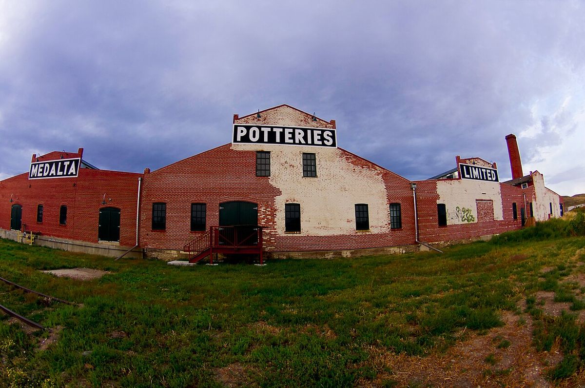
The Medicine Hat Clay Industries National Historic District is a central cultural asset, a living museum focused on the restored Medalta Potteries and Hycroft China Factory complexes within a 61-hectare district. Operated by the Friends of Medalta Society with federal, provincial, municipal and private support, it offers guided tours, educational and arts programming, and exhibits that interpret the city's industrial heritage. This nationally recognized district preserves and develops the cultural legacy of the clay industry that was once a major economic driver. The city's cultural identity is also deeply connected to its Indigenous history, reflected in place names and local legends, and to its status as a gathering place for centuries.
Medicine Hat gained national attention in 2021 for its social policy achievements, becoming the first city in Canada to reach 'functional zero' chronic homelessness. This milestone, defined as three consecutive months with three or fewer individuals experiencing chronic homelessness, was the result of adopting a Housing First policy beginning in 2009. The city's quality of life is further enhanced by its abundant sunshine, affordable housing with an average home price of $277,294 in 2018, and access to natural amenities like the river valley and nearby Cypress Hills Interprovincial Park. These factors collectively contribute to Medicine Hat's reputation as a community with a strong sense of place and proactive civic engagement.
Transportation, location, and regional role
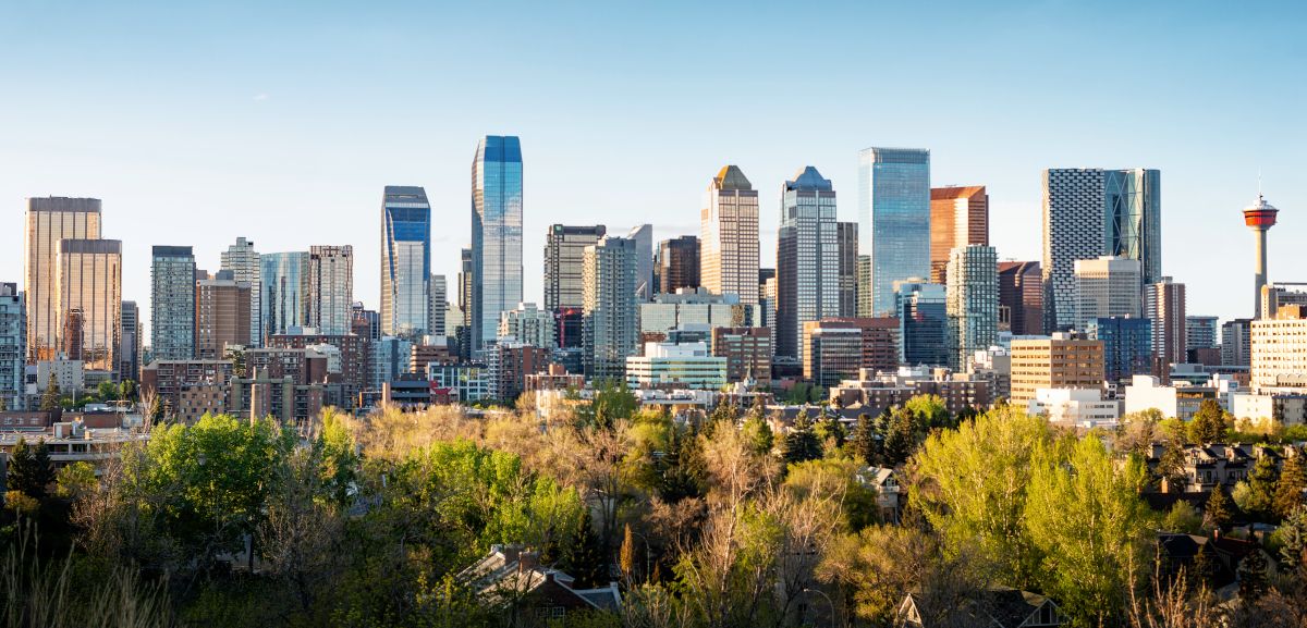
Medicine Hat's development has been intrinsically linked to transportation, starting with its founding as a Canadian Pacific Railway divisional point in 1883. Today, it is served by the Trans-Canada Highway and is the eastern terminus of the Crowsnest Highway, maintaining its role as a key transit and freight corridor. The city functions as a major service and trade centre for the surrounding agricultural region of southeast Alberta and southwest Saskatchewan. It is located approximately 169 kilometres east of Lethbridge and 295 kilometres southeast of Calgary. Nearby communities considered part of the Medicine Hat area include the adjacent Town of Redcliff to the northwest and the hamlets of Desert Blume, Dunmore, Irvine, Seven Persons, and Veinerville.
The city and the adjacent Town of Redcliff are within Cypress County. The Cypress Hills, including Cypress Hills Interprovincial Park, are a relatively short distance by car to the southeast of the city, providing a significant recreational destination. This connectivity and central location continue to support the city's economic and social functions within the region. Medicine Hat's position halfway between Winnipeg, Manitoba, and Vancouver, British Columbia, on the Pacific Coast historically cemented its importance as a railway and highway stop, a role it still fulfills today as a logistics and distribution hub for southern Alberta.
Questions about Medicine Hat
Why is Medicine Hat called The Gas City?
Medicine Hat is called The Gas City due to its historically large natural gas fields. This nickname was immortalized by author Rudyard Kipling who remarked the city had 'all hell for a basement'. These abundant natural gas reserves were a foundational element of the city's early industrialization and economic identity. The cheap and plentiful energy attracted large industries, helping the town earn an early reputation as 'the Pittsburgh of the West'. The city's economy was long characterized by this resource, though it has since diversified.
Is Medicine Hat really the sunniest city in Canada?
Yes, Medicine Hat is officially the sunniest place in Canada according to Environment and Climate Change Canada. The city averages 2,544 hours of sunshine per year. This abundant sunshine is a key feature of its semi-arid climate, which is classified as BSk under the Köppen system. The climate involves cold winters and warm to hot, dry summers, with precipitation being less than in most other Prairie cities. The plentiful sunshine and low humidity contribute to the city's appeal as a popular retirement destination.
What did Medicine Hat achieve regarding homelessness in 2021?
In 2021, Medicine Hat became the first city in Canada to achieve 'functional zero' chronic homelessness. This status was defined as three consecutive months where three or fewer individuals experienced chronic homelessness. The city accomplished this through its adoption of a Housing First policy beginning in 2009. This policy approach prioritizes providing stable housing as a first step before addressing other support needs. This achievement marked a significant milestone in the city's efforts to combat homelessness.
What are the main industries in Medicine Hat today?
The main industries in Medicine Hat today include diverse manufacturing and energy sectors. Key operations include a Goodyear tire and rubber plant, a Methanex methanol production facility, and I-XL Industries, a historic brickworks. The city is also home to numerous oil and gas related companies, a foundry, and large greenhouse operations like Big Marble Farms. Medicine Hat has positioned itself in innovative energy sectors, hosting Canada's largest Bitcoin mine. The economy has diversified from its historical reliance on natural gas.
What is the Medicine Hat Clay Industries National Historic District?
The Medicine Hat Clay Industries National Historic District is a living, working museum focused on the city's industrial heritage. It is based on the Medalta Potteries and Hycroft China Factory complexes within a 61 hectare district. The district offers guided tours, educational programming, and arts experiences through collections and exhibits. It is a cultural initiative of the Friends of Medalta Society, supported by various government and private entities. Their work involves restoring and preserving the district for public education and enjoyment.
Where is Medicine Hat located and what is its population?
Medicine Hat is a city in southeast Alberta, Canada, located along the South Saskatchewan River. It is positioned approximately 169 kilometres east of Lethbridge and 295 kilometres southeast of Calgary, near the Saskatchewan border. According to the 2021 census, the city had a population of 63,271. This population made Medicine Hat the eighth-largest city in Alberta at that time. The city and the adjacent Town of Redcliff are situated within Cypress County.
Sources and further reading
- Medicine Hat (Wikipedia)
- City of Medicine Hat: Home (medicinehat.ca)
- City of Medicine Hat (deassociation.ca)
- City Services | medicinehat (medicinehatdirectory.com)
- Move to Medicine Hat: Opportunity Awaits (movetomedicinehat.ca)
Checked by the Your Space Hamilton desk. Last updated 2026-10-22.