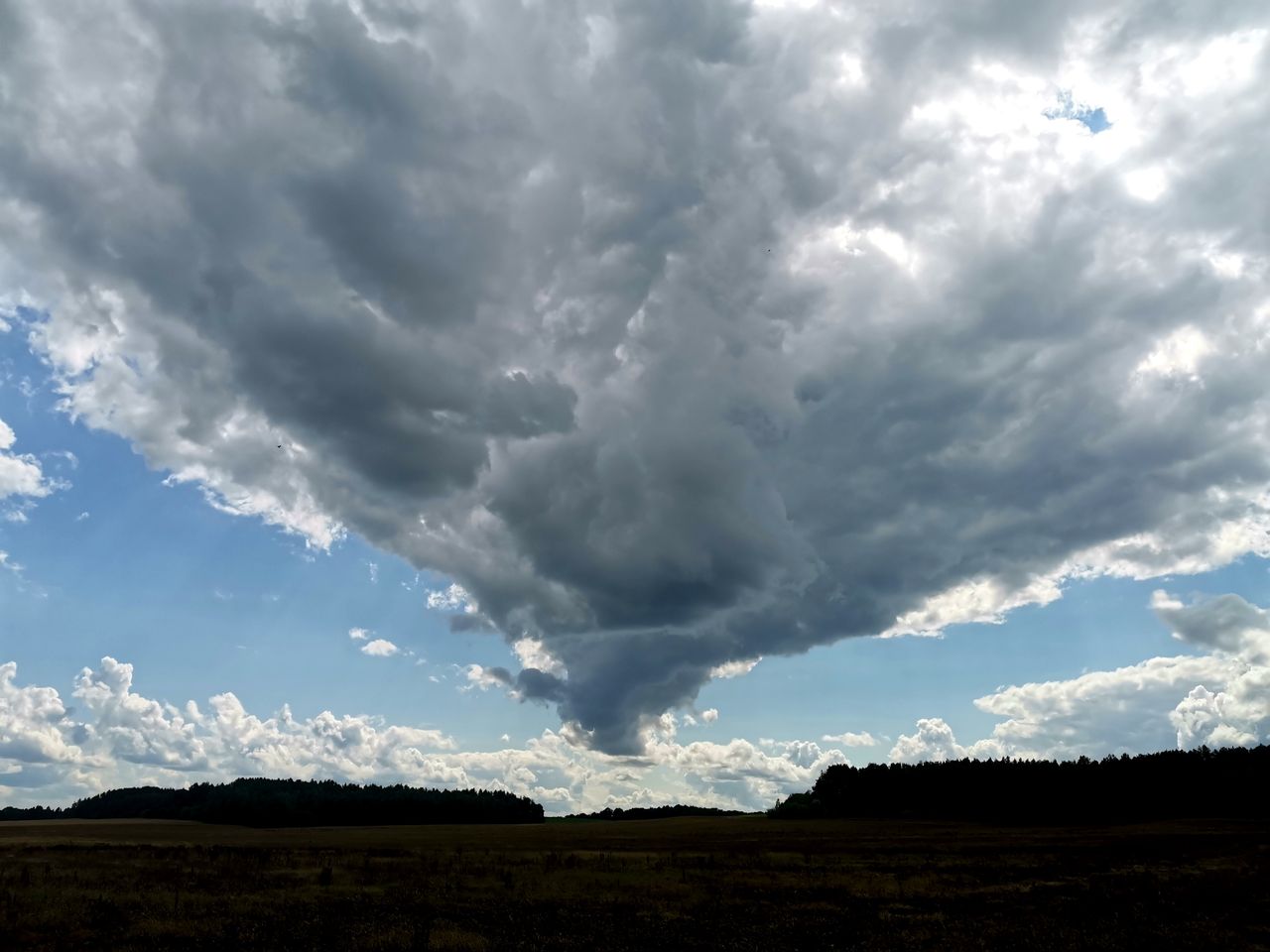
Parts of Alberta brace for up to 25 centimetres of snow this weekend
Environment Canada says travel will be challenging in northeastern Alberta, with up to 25 cm of snow and strong winds expected.
Environment and Climate Change Canada has issued snowfall warnings for northeastern Alberta, forecasting up to 25 centimetres of snow and strong winds that will make travel difficult this weekend.
"Travel will likely be challenging. Roads and walkways will likely be difficult to handle due to accumulating snow. Take frequent breaks and avoid strain when clearing snow. Allow extra time for travel," the warnings stated.
The agency said a strong weather system moving into the region will bring rain that changes to snow on Friday, with 15 to 20 cm expected near Wood Buffalo National Park and Fort Chipewyan by Saturday morning.
READ MORE: First snowfall of season to hit Alberta, Saskatchewan this weekend
READ MORE: Thanksgiving snow warnings issued for parts of southern Saskatchewan
Some additional snowfall is possible on Saturday before it tapers off Saturday evening.
Areas further south, including Fort McMurray, Fort McKay and Conklin, are forecast to see 10 to 15 cm of snow, with rain changing to snow Friday afternoon and continuing Friday night.
A wind warning is also in place for portions of eastern and southeastern Alberta, including Lloydminster and Medicine Hat.
Strong northwesterly winds gusting up to 90 km/h are expected to develop Friday morning and diminish Friday afternoon.
"Local utility outages are possible. Driving conditions will likely be difficult. High-sided vehicles will be pushed around by the wind. Secure loose objects," the warning added.
In Edmonton, rain mixed with snow is forecast for Friday, Oct. 23, with temperatures remaining below average or well below average for daytime highs straight through to Wednesday, Oct. 28.
The average daytime high for this time of year in Edmonton is 8 C, while the average low is -2 C.
Calgary faces a greater snow risk, with rain mixed with snow and a high of 6 C forecast for Friday, Oct. 23, along with rainfall amounts of 5 mm and snowfall amounts of 2 cm over higher terrain.
The chance of snow returns for the night of Saturday, Oct. 24, with a low of -3 C, and a 60 per cent chance of flurries during the day on Sunday, Oct. 25, with a high of -1 C.
Temperatures improve a bit on Tuesday, Oct. 27, before receding again for Wednesday, Oct. 28.
The average daytime high for this time of year in Calgary is 10 C, while the average low is -3 C.
Environment Canada meteorologist Janelle Gergely previously stated that an El Niño can influence the broader weather pattern through the fall and winter, and might favour milder conditions, but the current forecast is driven by a specific weather system.
Your Space Hamilton reported earlier this month that similar snowfall warnings were issued for parts of southern Saskatchewan.
With files from Daily Hive