Heavy rain and wind to hit B.C. coast overnight, Environment Canada warns
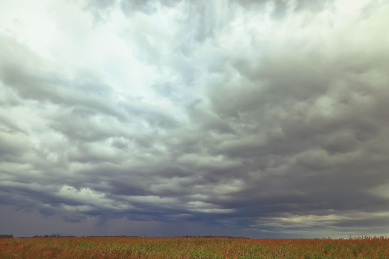
A storm system is forecast to bring up to 100 millimetres of rain and strong winds to coastal B.C. from Monday night into Tuesday.
VANCOUVER — A potent storm system is forecast to bring heavy downpours and strong winds to parts of coastal British Columbia overnight Monday and into Tuesday.
Environment Canada has issued rainfall warnings for the Lower Mainland, Central Coast, North Coast, Howe Sound and West Vancouver Island.
Totals between 40 and 100 millimetres are predicted through to Tuesday afternoon, with the Central Coast in for the biggest deluge.
READ MORE: Parts of Ontario and Quebec brace for heavy rain and possible thunderstorms
READ MORE: Cold front brings wind, snow and hail risk to B.C. Interior
"It's quite a potent system," said Environment Canada meteorologist Jennifer Kowal.
"We're expecting 50 to 70 millimetres across the Lower Mainland, and the 70 would probably be over higher terrain like the [Simon Fraser University], Burnaby Mountain, the North Shore Mountains."
The heaviest rain is expected along the west coast of Vancouver Island and the central coast, while Vancouver, Burnaby, Coquitlam and the North Shore may get up to 70 millimetres.
The system is expected to arrive Monday and pass over the north and central coast by afternoon, while Metro Vancouver and western Vancouver Island will see heavy rain lasting into Tuesday morning.
As of Monday afternoon, no flood warnings or watches had been issued.
"It's not such a potent system that we're expecting river flooding, it would really be localized, to do with drainage," Kowal said.
An alert on the Environment Canada website has warned that water "will likely pool on roads and in low-lying areas", with local utility outages possible.
"Don't drive through flooded roadways. Allow extra time for travel," it said.
The agency says the rain will cause pooling water on roads and may create a "significant" impact on commuters.
In a statement, Greg Valou from Metro Vancouver said the regional district would closely monitor sewer systems as the fall weather set in.
"Crews are prepared to respond as needed to help ensure critical infrastructure continues to operate reliably throughout the season," he said.
The rain will continue into Tuesday, tapering off by the afternoon.
Environment Canada says Truth And Reconciliation Day on Wednesday, which is a statutory holiday in B.C., is likely to be sunny before another, smaller wet weather system rolls over on Thursday.
"It's not going to be anything like what this one is. It's probably just going to generate a couple of showers around the South Coast," Kowal said.
"We're turning more into a fall pattern, where we can expect to see more showery weather, but there's nothing high-impact that's on the immediate dashboard for us."
El Niño pattern brings warmer winter forecast
As B.C. experiences its first real taste of fall, Kowal said temperatures will be higher than usual in the months ahead due to a "super" El Niño pattern underway in the equatorial Pacific Ocean.
"In the winter, when the El Niño really kicks in, we'll see it be even warmer than seasonal, or what's considered to be standard," she said.
"As far as precipitation above or below normal, we don't actually have a very clear signal one way or the other."
She said El Niño events did not typically bode well for sessions on the ski slopes.
"Things could always change, it only takes a couple of weeks of good snow and it only takes a couple good storms to to get a good base on the mountains, but historically, it doesn't really mean a great winter for snow," she said.
With files from The Canadian Press, CBC News and NanaimoNewsNOW